
Park Map Tokyo, Japan
Tokyo Dome City Attractions Map 2026
Open the operator map, find nearby attractions and plan your arrival with the area guide below.

- Source
- Map courtesy of Tokyo Dome City
- Edition
- Operator English attraction guide, prepared in July 2026. Preview shows the complete map sheet; PDF retains both pages.
- Checked
Area by Area
Tokyo Dome City Attractions Map Guide
Use these planning areas to group nearby stops. Check current operator information and signs for attraction availability.
Choose your station exit first, then route between LaQua, Viking, Geopolis, Tower and Splash Garden. The map marks paths and level changes through the freely accessible Tokyo Dome City complex.
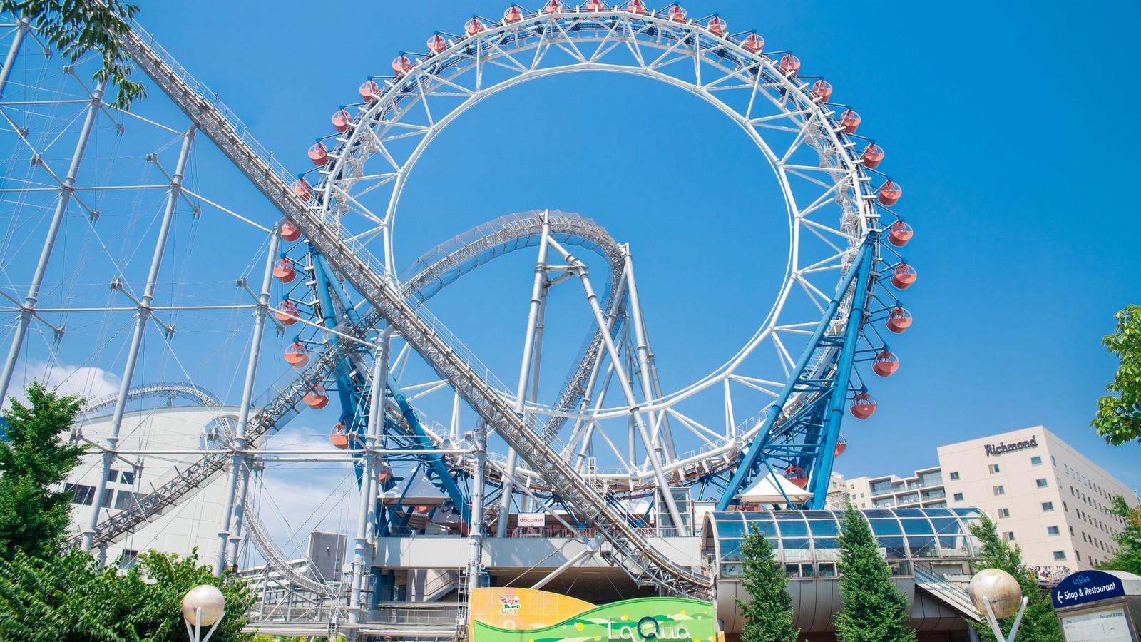
Thunder Dolphin and the Big O
Area
HeadlinersHeadliner: Thunder Dolphin
LaQua’s coaster and centerless wheel form a distinct arrival and ride cluster.
Photo: Tokyo Dome City Attractions by Dick Thomas Johnson , CC BY 2.0. Cropped.

Viking and Geopolis Attractions
Area
HeadlinersMap anchors: Viking and BACK DAAAN
Match the Viking ship to its named zone and routes toward Geopolis.
Photo: Tokyo Dome City. Cropped.
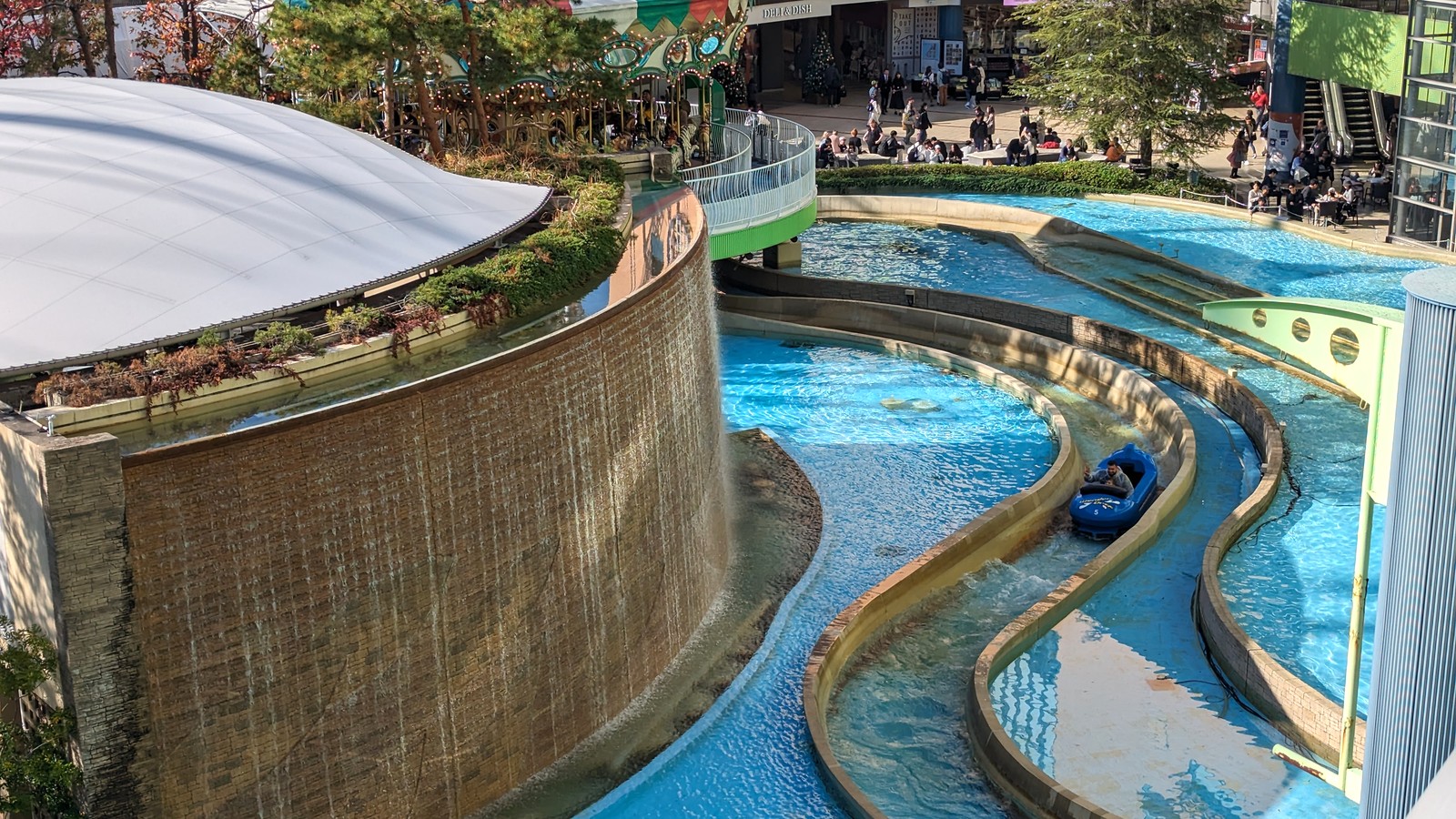
Wonder Drop and Water Symphony
Area
HeadlinersPhoto anchor: Wonder Drop
The water ride is a LaQua landmark; Water Symphony belongs to Splash Garden.
Photo: Tokyo Dome City by Jeremy Thompson , CC BY 2.0. Cropped.

Venus Lagoon and Family Attractions
Area
HeadlinersCarousel · Splash Garden
Find the Venus Lagoon carousel in Splash Garden before selecting nearby family rides.
Photo: Tokyo Dome City. Cropped.
Parking and Arrival
Tokyo Dome City Attractions Parking Map
The overview locates the park and arrival vicinity. Use operator directions and signs for the correct entrance.
- Arrival
- Use the operator map to choose among JR Suidobashi East Exit, Toei Mita Line Suidobashi A2, Korakuen Exit 2, and Kasuga A1.
- Parking and Admission
- Entry is free.
- Entrance and Services
- The attraction zones connect through the wider Tokyo Dome City complex.
Quick Answers
Tokyo Dome City Attractions Map FAQ
Is there a printable Tokyo Dome City Attractions map PDF?
PDF Map opens our hosted copy of the unchanged operator PDF. The preview shows its main map sheet. Current operator English attraction guide, prepared in July 2026. Preview shows the complete map sheet; PDF retains both pages.
How do I plan a route using this map?
Choose your station exit first, then route between LaQua, Viking, Geopolis, Tower and Splash Garden. The map marks paths and level changes through the freely accessible Tokyo Dome City complex.
Is there an entry fee at Tokyo Dome City Attractions?
Entry is free. Buy individual attraction tickets or choose a current passport product.
Where do I arrive for Tokyo Dome City Attractions?
Use the operator map to choose among JR Suidobashi East Exit, Toei Mita Line Suidobashi A2, Korakuen Exit 2, and Kasuga A1. Driving access uses the Iidabashi or Nishikanda ramps.
Does the map show live waits and closures?
No. A map shows locations, not visit-day operation. Check the official app, attraction pages and posted signs for availability. Park Tools links only to this destination’s existing planning pages.
Sources
Operator files checked . Map editions and seasonal limits are identified separately from the source check date.