
Park Map Branson, Missouri
Silver Dollar City Map 2026
Open the operator map, find nearby attractions and plan your arrival with the area guide below.

- Source
- Map courtesy of Herschend
- Edition
- Operator image filename identifies spring 2025. No issue date is printed; check the official app for current festival layouts. Hosted PDF edition is unverified; use Official Map for the latest layout.
- Checked
Area by Area
Silver Dollar City Map Guide
Use these planning areas to group nearby stops. Check the operator’s current app and signs for attraction availability.
The entrance leads into the craft town. The paths branch across hilly terrain toward Grand Exposition, Rivertown and the coaster areas.

The Coasters
Area
HeadlinersTime Traveler, Outlaw Run and PowderKeg
Coasters occupy different park edges; use their individual map labels to choose a route.
Photo: Jeremy Thompson , CC BY 2.0. Cropped.
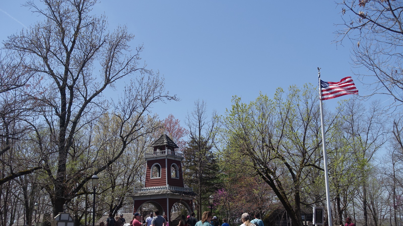
The 1880s Town Square
Area
HeadlinersCraft shops and Main Street landmarks
The entrance leads into the craft town, with streets branching toward the ride areas.
Photo: Jeremy Thompson , CC BY 2.0. Cropped.

Grand Exposition
Area
HeadlinersGrand Exposition Coaster and family rides
The family ride cluster sits along the Grand Exposition paths.
Photo: Jeremy Thompson , CC BY 2.0. Cropped.
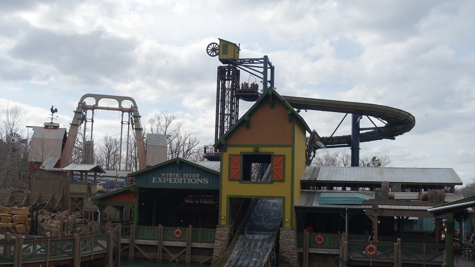
Rivertown
Area
HeadlinersMystic River Falls and riverfront paths
The river ride anchors this area; allow for the park’s slopes when planning your route.
Photo: Jeremy Thompson , CC BY 2.0. Cropped.
More Areas on the Map
- Fire in the HoleThe indoor ride is a separate map landmark; check its current operating status in the app.
Related Park Maps
Parking and Arrival
Silver Dollar City Parking Map
The overview shows the park and arrival vicinity. Use operator directions and signs for the correct entrance.
- Main Arrival
- Follow the operator’s signed parking directions. Use the available tram or bus instructions for the route to the entrance.
- Hills and Paths
- The park’s terrain is hilly. Use the operator’s accessibility guidance and current signs when choosing a route or mobility rental.
- Festival Layout
- The official page currently offers an image whose filename identifies spring 2025. Use the official app and posted signs for current festival locations.
Quick Answers
Silver Dollar City Map FAQ
Is there a printable Silver Dollar City map PDF?
Yes. PDF Map opens the file hosted by Deep Arrival for printing or saving. Hosted PDF edition is unverified; use Official Map for the latest layout.
How do I use this map to plan my route?
The entrance leads into the craft town. The paths branch across hilly terrain toward Grand Exposition, Rivertown and the coaster areas.
How current is the Silver Dollar City map image?
The official map page currently links an image whose filename identifies spring 2025. No issue date is printed on the illustration. The preview matches that operator image; use the official app and current signs for festival arrangements.
Where do I arrive for Silver Dollar City?
Follow the operator’s signed parking directions. Use the available tram or bus instructions for the route to the entrance.
Does the map show live waits and closures?
No. A saved map describes the layout, not live operation. Check the official app or website for available attractions and presentation times. Park Tools links to this destination’s published planning pages where those pages exist.
Sources
- Silver Dollar City: Official Park Information
- Silver Dollar City: Official Arrival and Planning Information
Operator map artifacts reviewed . Editions and any limitations are identified separately.