
Park Map Tampere, Finland
Särkänniemi Map 2026
Open the operator map, find nearby attractions and plan your arrival with the area guide below.

- Source
- Map courtesy of Särkänniemi
- Edition
- Halloween Carnival 2026 seasonal operator image. Attraction availability differs from the summer layout. PDF is an image copy.
- Checked
Area by Area
Särkänniemi Map Guide
Use these planning areas to group nearby stops. Check current operator information and signs for attraction availability.
Locate Näsinneula and your gate, then follow Joy Plaza, Tornado and the lake-side ride corridor. This Halloween sheet has its own availability table; summer photos do not confirm event-day ride operation.

Tornado Gate and Tornado
Area
HeadlinersLandmark: Tornado, map number 27
Tornado is a locker-side landmark; use the seasonal table to confirm ride availability.
Photo: Särkänniemi. Cropped.
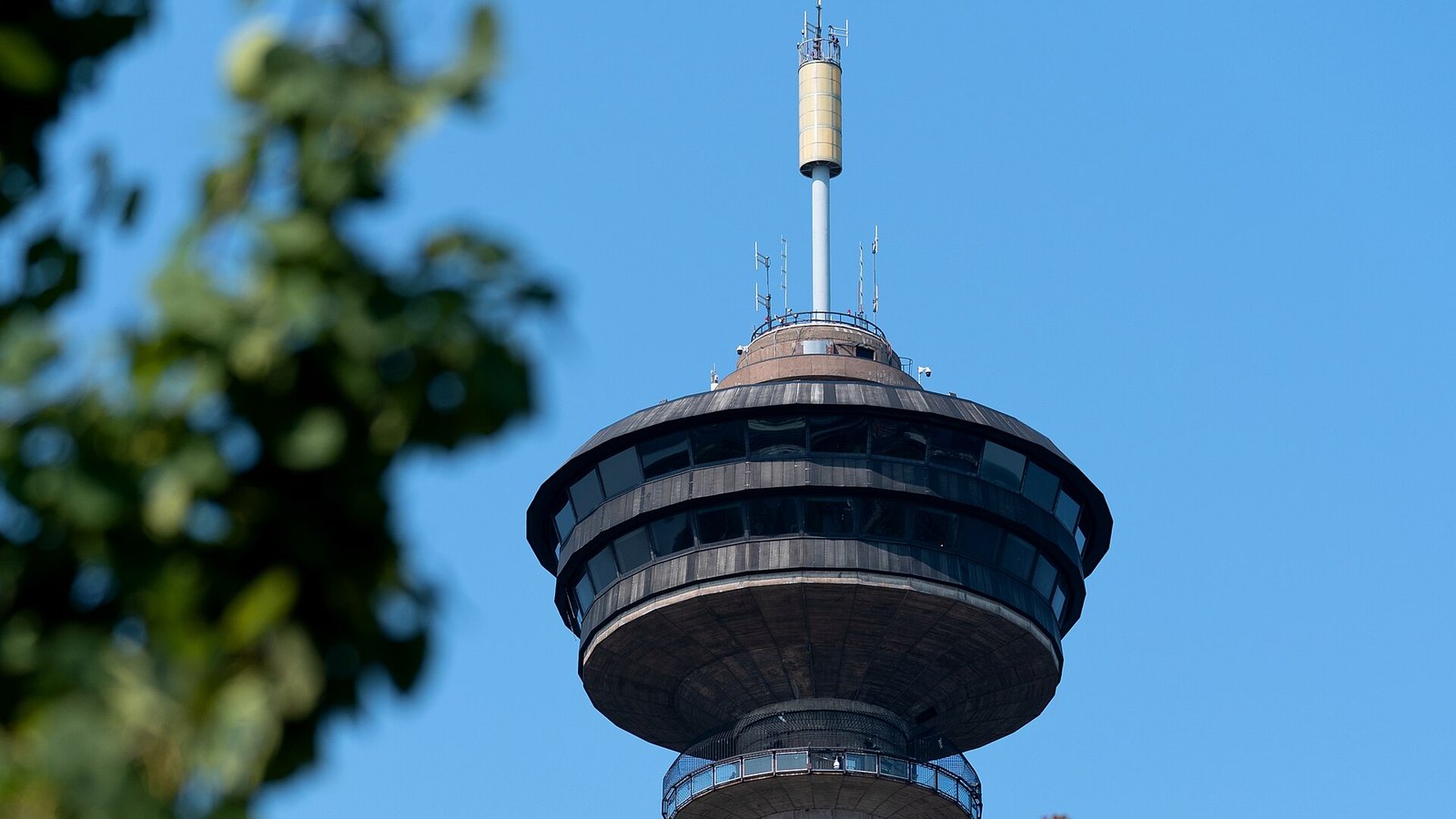
Näsinneula Tower and Aquarium
Area
HeadlinersLandmark: Näsinneula Observation Tower
Näsinneula anchors the indoor attraction cluster; entrances may use different admission products.
Photo: Santeri Viinamäki , CC BY-SA 4.0. Cropped.

Troika and Central Ride Paths
Area
HeadlinersIlluminated spinning ride
The photo shows Troika at night; confirm operation in the Halloween Carnival table.
Photo: Särkänniemi. Cropped.
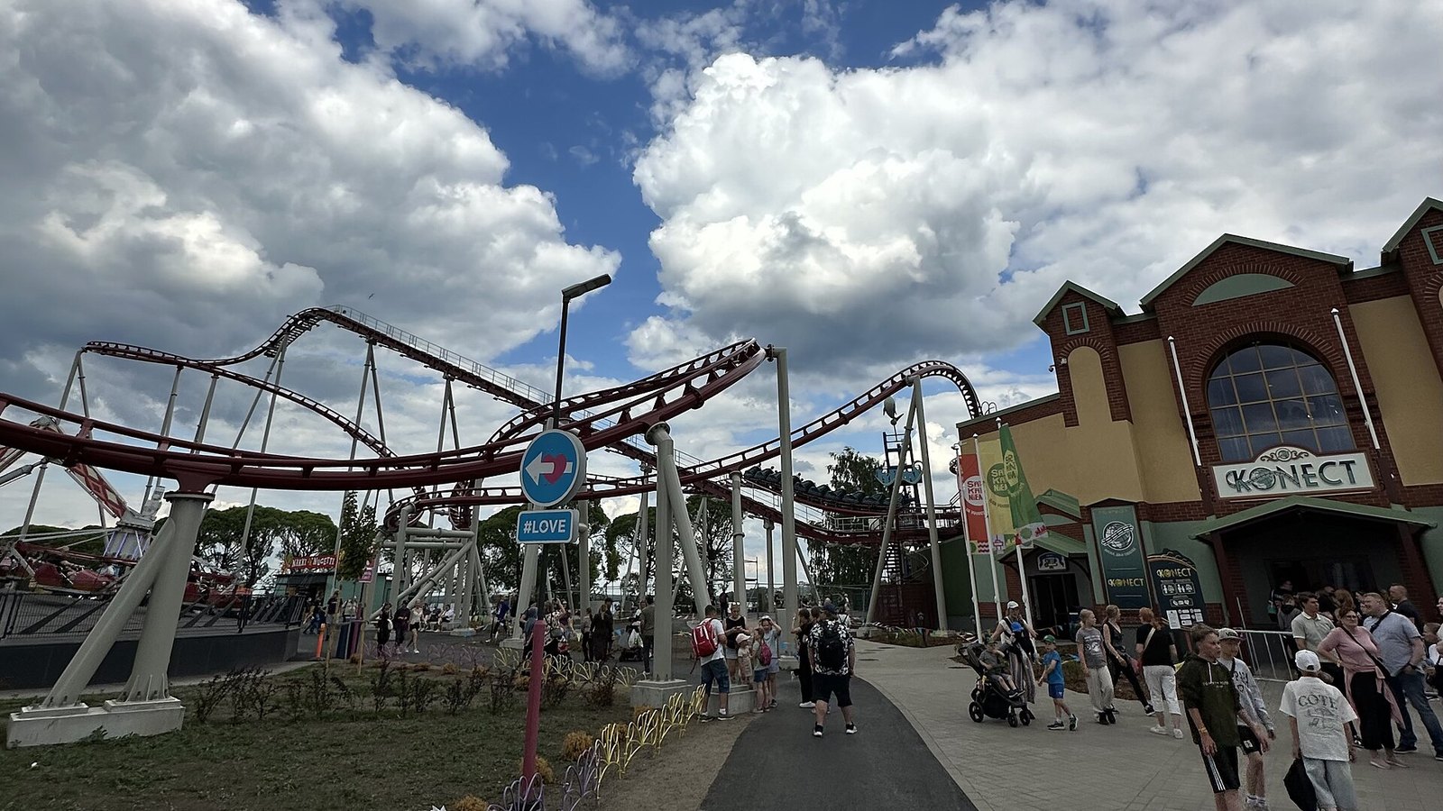
Konect and the Eastern Rides
Area
HeadlinersLandmark: Konect, map number 25
Konect appears beyond Hype on the lake-side route; check its seasonal availability.
Photo: On5kautta5 , CC0. Cropped.
Parking and Arrival
Särkänniemi Parking Map
The overview locates the park and arrival vicinity. Use operator directions and signs for the correct entrance.
- Arrival
- Follow the operator’s current driving directions and parking signs.
- Parking and Admission
- The operator lists parking at €18 per day when the rides operate, with limited space and staff directing arrivals.
- Entrance and Services
- Locate Näsinneula and your chosen entrance, then check the route to your first attraction.
Quick Answers
Särkänniemi Map FAQ
Is there a printable Särkänniemi map PDF?
PDF Map opens Deep Arrival’s printable copy of the map image shown above. It is not an original operator PDF. Current Halloween Carnival 2026 seasonal operator image. Attraction availability differs from the summer layout. PDF is an image copy.
How do I plan a route using this map?
Locate Näsinneula and your gate, then follow Joy Plaza, Tornado and the lake-side ride corridor. This Halloween sheet has its own availability table; summer photos do not confirm event-day ride operation.
Does this map show the summer lineup?
This is the current Halloween Carnival sheet. Its availability table and event dates take priority over a summer photograph or general ride description. Check the operator calendar for your visit.
Where do I arrive for Särkänniemi?
Follow the operator’s current driving directions and parking signs. For public transport, use the Nysse journey planner for your date and destination; routes and stop arrangements can change. Check the return journey before spending the evening at the park.
Does the map show live waits and closures?
No. A map shows locations, not visit-day operation. Check the official app, attraction pages and posted signs for availability. Park Tools links only to this destination’s existing planning pages.
Sources
Operator files checked . Map editions and seasonal limits are identified separately from the source check date.