
Park Map Williamsburg, Virginia
Busch Gardens Williamsburg Map 2026
Open the operator map, find nearby attractions and plan your arrival with the area guide below.

- Source
- Map courtesy of United Parks & Resorts
- Edition
- Operator core map; filename identifies 2026. Preview matches. Printed issue date not established. Hosted PDF edition is unverified; use Official Map for the latest layout.
- Checked
Area by Area
Busch Gardens Williamsburg Map Guide
Use these planning areas to group nearby stops. Check the operator’s current app and signs for attraction availability.
Enter through England and follow the country-themed paths around the park. Use the river, bridges and coaster landmarks to distinguish nearby hamlets.
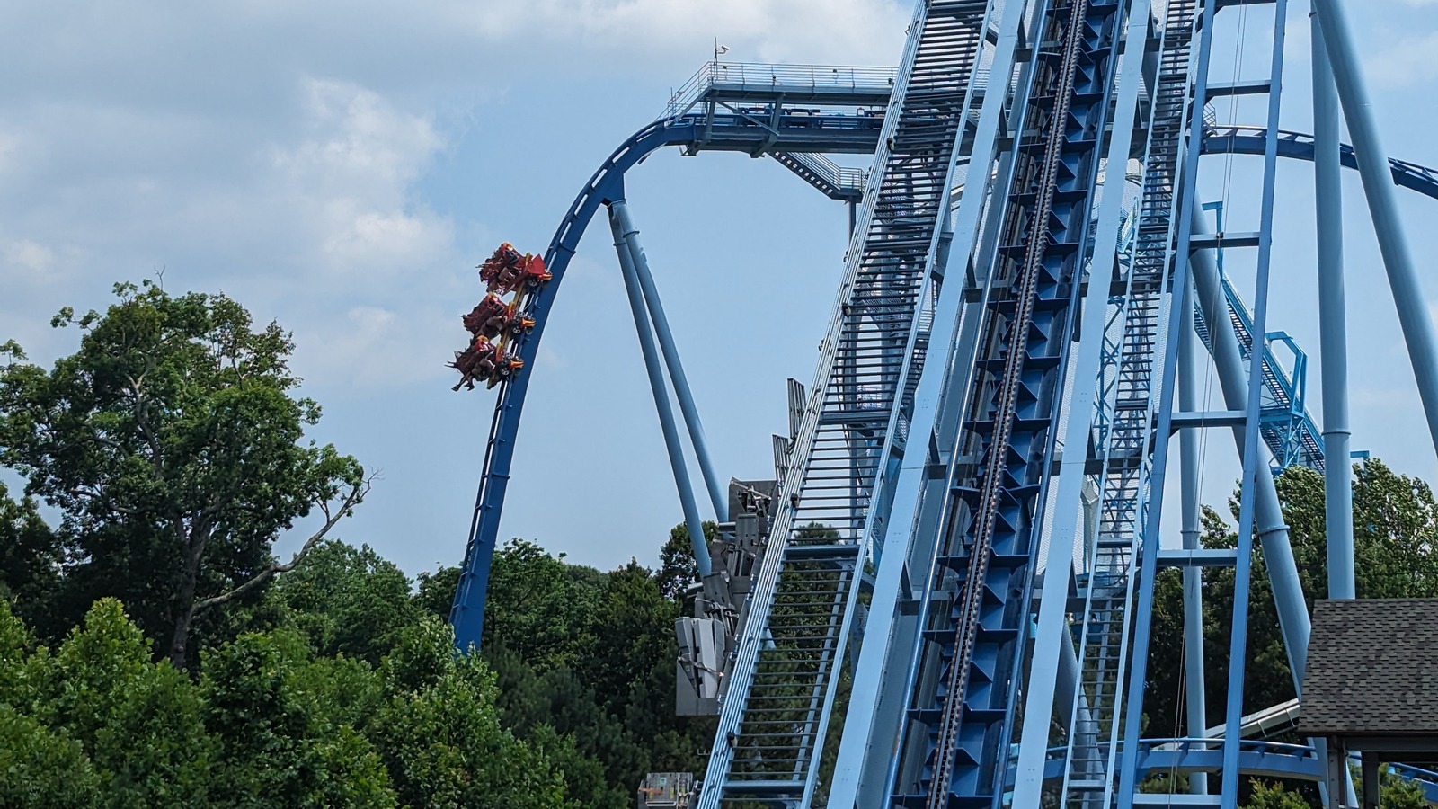
New France and France
Area
HeadlinersGriffon, Alpengeist and InvadR
France and New France group major coaster landmarks along the country paths.
Photo: Jeremy Thompson , CC BY 2.0. Cropped.
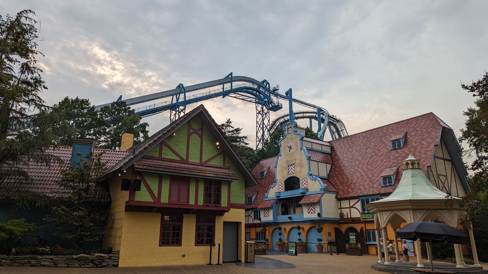
Germany and Oktoberfest
Area
HeadlinersDarKoaster and Verbolten: Forbidden Turn
Oktoberfest and the German village connect indoor rides and nearby paths.
Photo: Jeremy Thompson , CC BY 2.0. Cropped.
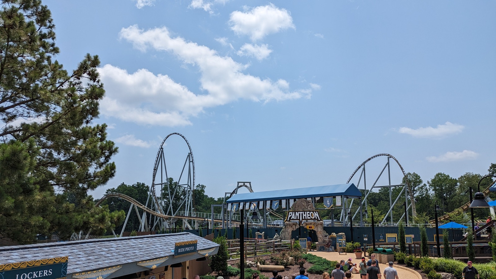
Festa Italia
Area
HeadlinersApollo’s Chariot, Pantheon and Tempesto
Several large coasters share this Italian corner; use each numbered entrance on the map.
Photo: Jeremy Thompson , CC BY 2.0. Cropped.
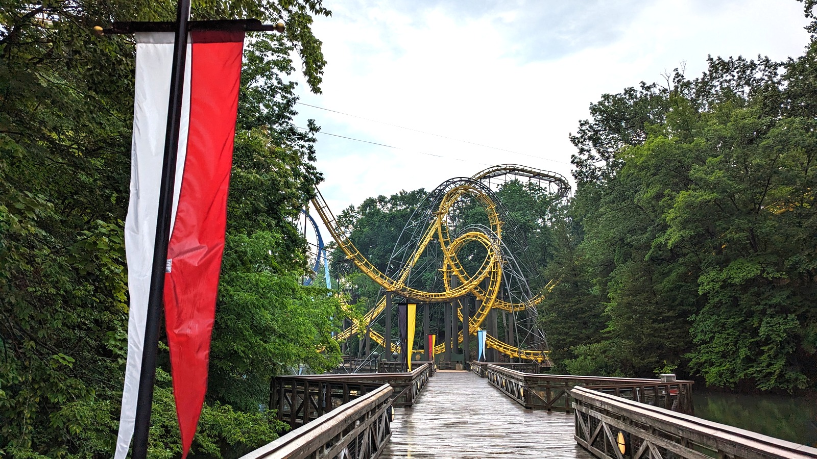
Italy, Scotland, and England
Area
HeadlinersLoch Ness Monster and Escape from Pompeii
England is the arrival hamlet; Scotland and Italy provide landmarks along the onward route.
Photo: Jeremy Thompson , CC BY 2.0. Cropped.
More Areas on the Map
- IrelandA separate country-themed hamlet along the route between the entrance-side and French paths.
Related Park Maps
Parking and Arrival
Busch Gardens Williamsburg Parking Map
The overview shows the park and arrival vicinity. Use operator directions and signs for the correct entrance.
- Main Arrival
- Follow the operator’s Busch Gardens Boulevard directions and the signed parking route. Record your lot and row before continuing to the England entrance.
- Wayfinding
- The park has hills and bridges. Check the app for current Skyride and railroad operation before relying on a transport shortcut.
- Visit-Day Services
- Use the map symbol key for restrooms, First Aid and guest services. Confirm accessible routes and seasonal paths with the operator before relying on them.
Quick Answers
Busch Gardens Williamsburg Map FAQ
Is there a printable Busch Gardens Williamsburg map PDF?
Yes. PDF Map opens the file hosted by Deep Arrival for printing or saving. Hosted PDF edition is unverified; use Official Map for the latest layout.
How do I use this map to plan my route?
Enter through England and follow the country-themed paths around the park. Use the river, bridges and coaster landmarks to distinguish nearby hamlets.
Can I use the Skyride to reduce walking?
Skyride stations are mapped in England, France and Germany. Check current operation and boarding directions; do not assume every station provides a direct return journey.
Where do I arrive for Busch Gardens Williamsburg?
Follow the operator’s Busch Gardens Boulevard directions and the signed parking route. Record your lot and row before continuing to the England entrance.
Does the map show live waits and closures?
No. The map identifies paths and attractions, not visit-day operation. Check the official app and posted signs for availability and show times. Park Tools links to this destination’s existing planning pages.
Sources
Operator files checked . Map editions and limitations are identified separately from the check date.