
Park Map Reisbach, Germany
Bayern-Park Map
Use the current operator map to locate Voltrum, Freischutz, family rides, water attractions, parking, and guest services.
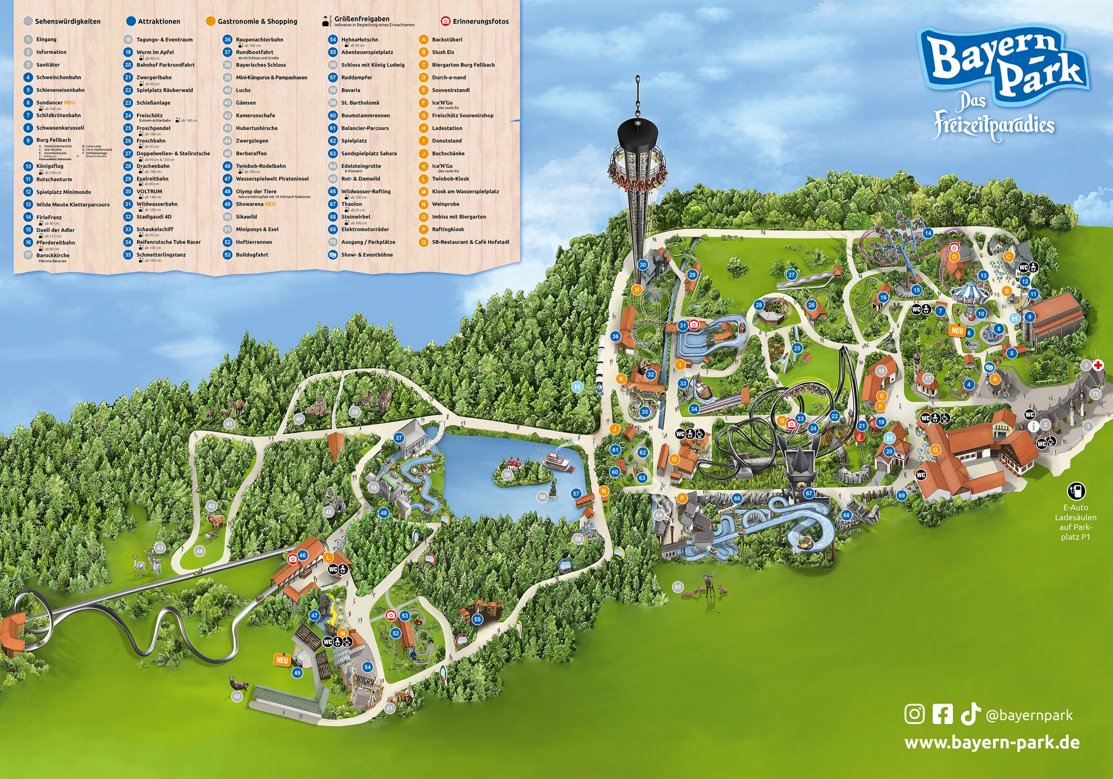
- Source
- Map courtesy of Bayern-Park
- Edition
- Undated operator illustration. PDF is Deep Arrival’s printable image copy; preview matches.
- Checked
Area by Area
Bayern-Park Map Guide
Group nearby stops using the map and area guide. Photograph dates and map editions may differ; check visit-day availability with the operator.
Start with the entrance and numbered legend. Match the German attraction names before grouping the nearby family and thrill rides.
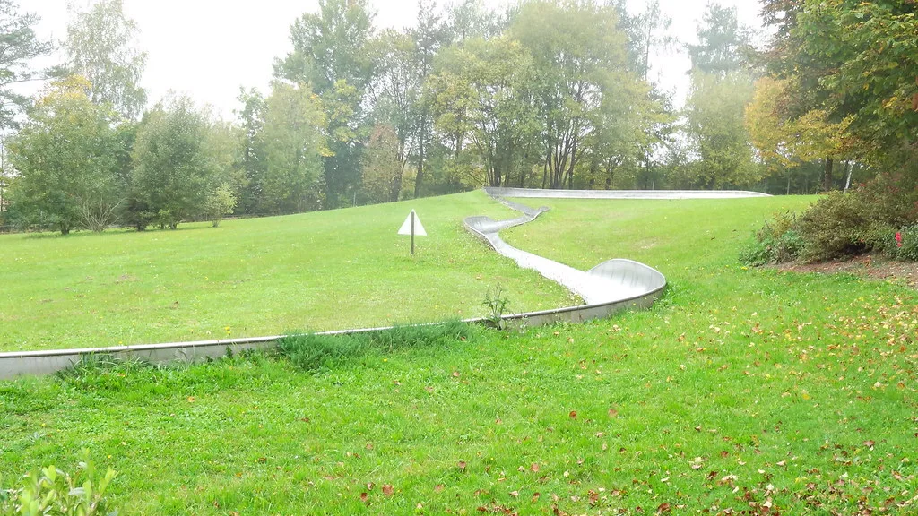
Sommerrodelbahn
Area
HeadlinersSummer toboggan
Follow the named toboggan attraction in the numbered map legend.
Photo: milst1, CC BY-SA 2.0 (2014). Cropped.

Water Rides
Area
HeadlinersWater-ride drop
Use the water-ride cluster as a landmark when grouping nearby family attractions.
Photo: milst1, CC BY-SA 2.0 (2014). Cropped.
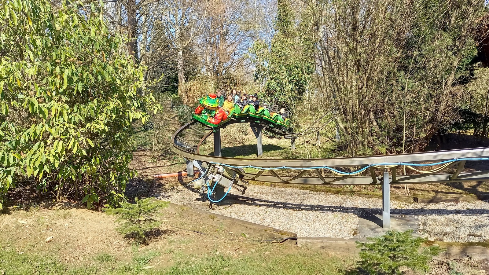
Froschbahn
Area
HeadlinersFamily ride: Froschbahn
Use the frog-themed coaster name to locate this family stop in the legend.
Photo: Michael Burgholzer , CC BY-SA 4.0. Cropped.
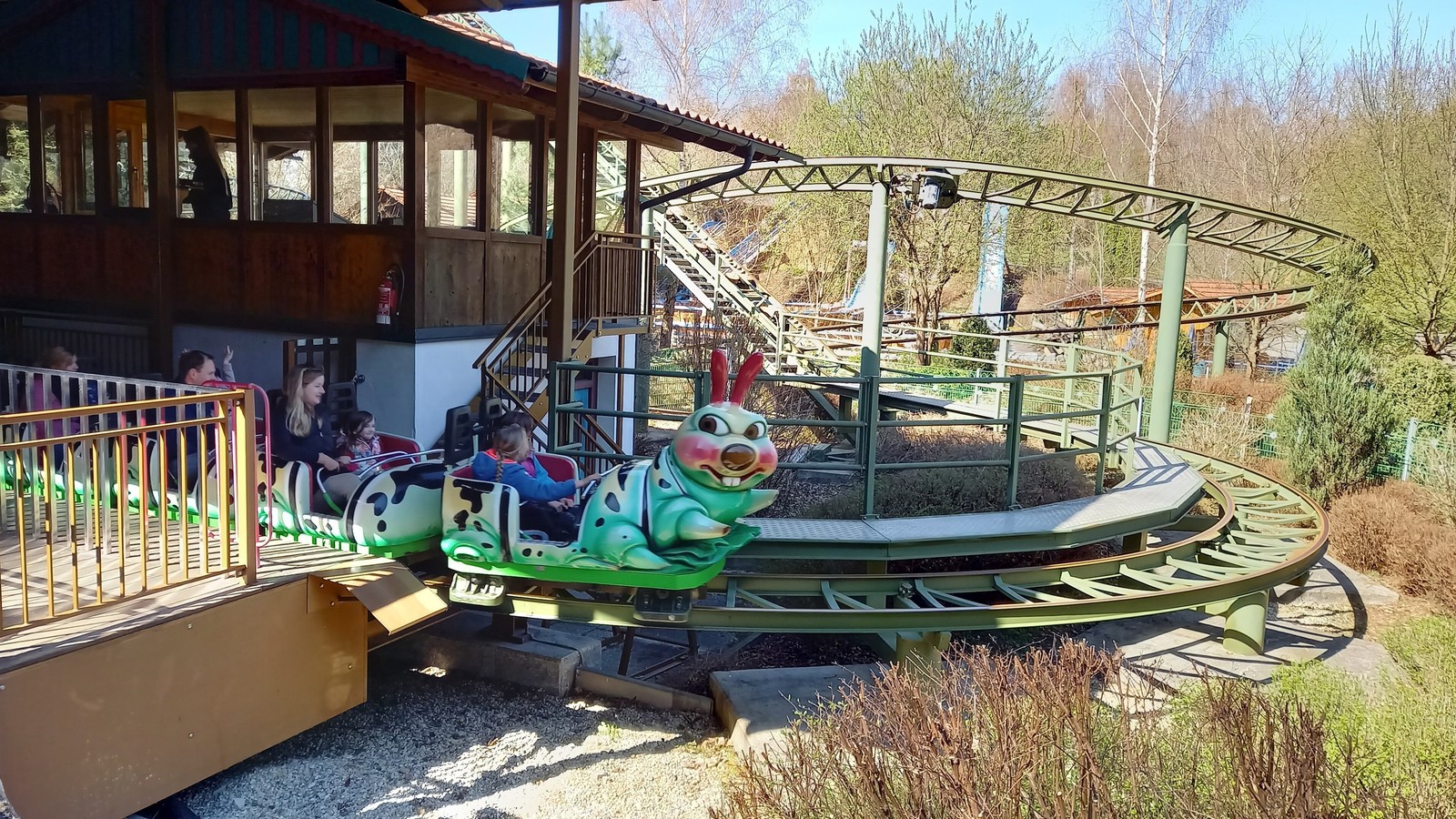
Raupenachterbahn
Area
HeadlinersFamily ride: Raupenachterbahn
Find the caterpillar-themed coaster among the map’s family attractions.
Photo: Michael Burgholzer , CC BY-SA 4.0. Cropped.
More Areas on the Map
- VoltrumThe operator describes Voltrum as a 109 meter tower and the highest freefall tower in southern Germany. Use the current map to connect it with nearby paths and rides.
- Freischutz and the BarockkircheFind Freischutz and the Barockkirche by name on the full map. The operator describes the coaster reaching 80 km per hour in 2.3 seconds through four inversions.
Parking and Arrival
Bayern-Park Parking Map
Use the arrival overview with operator directions. Check the current parking and transport arrangements before travel.
- On Site Parking
- The operator FAQ states that 4,000 parking spaces are available free of charge for cars, buses, motorhomes, and other vehicles.
- Use the Numbered Map Legend
- After entering, use Information point 2 as a service reference, then match attraction numbers and dining letters to the current map legend.
- Information Point 2
- The operator directs lost property, assistance, cash withdrawal, buggy rental, and accessible toilet key requests to Information point 2.
Quick Answers
Bayern-Park Map FAQ
Is there a printable Bayern-Park map PDF?
PDF Map opens Deep Arrival’s printable copy of the operator illustration shown above. It is not an original operator PDF. Undated operator illustration. PDF is Deep Arrival’s printable image copy; preview matches.
Where do I get the official Bayern-Park map?
Official Map opens the JPG linked by Bayern-Park. The preview matches that undated illustration; PDF Map is Deep Arrival’s printable image copy.
What is the tallest ride at Bayern-Park?
The operator describes Voltrum as a 109 meter tower and the highest freefall tower in southern Germany.
Is the Wildwasser-Rafting course the same as the Wildwasserbahn?
No. Bayern-Park lists Wildwasserbahn and Wildwasser-Rafting as separate current attractions. Check the current map for their numbered locations and the attraction pages for restrictions.
Is there a paddle steamer at Bayern-Park?
Yes. The current operator map and operating calendar list Raddampfer as a separate attraction. Check the visit date because scheduled operating times vary by calendar day.
Sources
Sources checked . A source check date does not establish the map’s issue date.