
Park Map Alton, Staffordshire
Alton Towers Map 2026
Open the operator map, find nearby attractions and plan your arrival with the area guide below.

- Source
- Map courtesy of Merlin Entertainments
- Edition
- Operator theme park image filename identifies 2026. Preview matches; resort accommodation has a separate map. Hosted PDF edition is unverified; use Official Map for the latest layout.
- Checked
Area by Area
Alton Towers Map Guide
Use these planning areas to group nearby stops. Check the operator’s current app and signs for attraction availability.
Enter through Towers Street and use the towers and gardens to orient the estate. The major ride areas are spread apart, so choose a route before crossing the grounds.
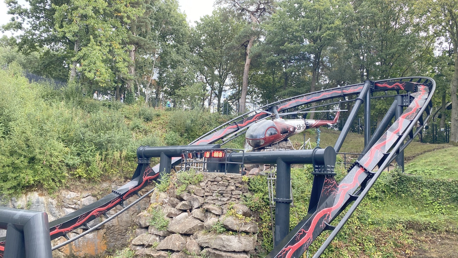
Forbidden Valley
Area
HeadlinersNemesis Reborn, Galactica and Toxicator
The valley groups major thrill rides along its own paths.
Photo: BWard 1997 , CC BY 4.0. Cropped.
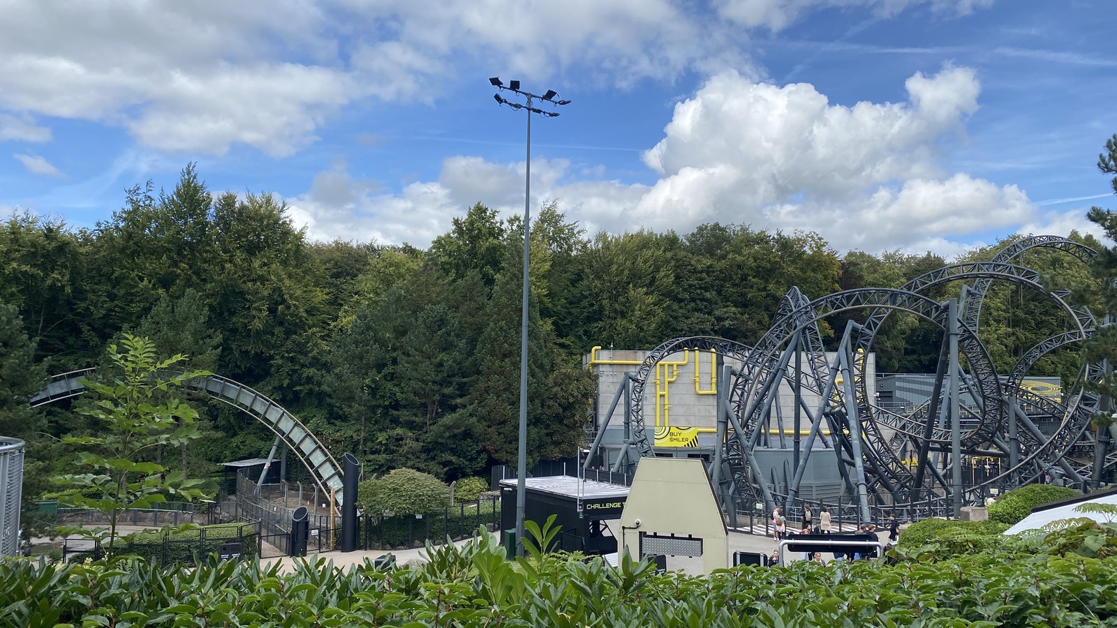
X-Sector
Area
HeadlinersThe Smiler and Oblivion
The two large coaster structures identify this separate thrill area.
Photo: BWard 1997 , CC BY 4.0. Cropped.
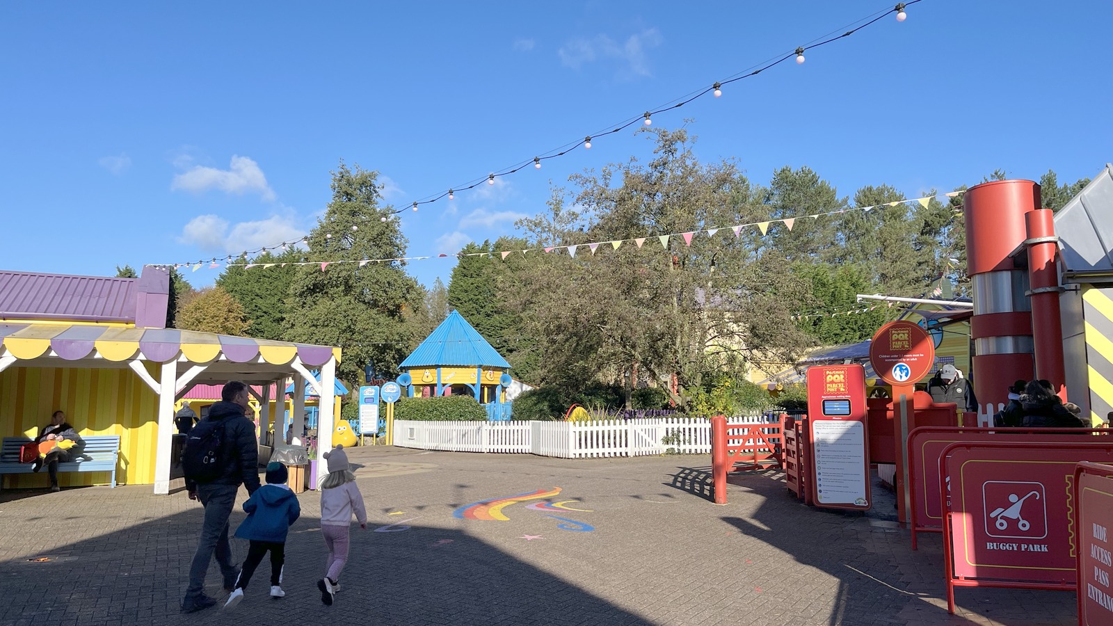
CBeebies Land
Area
HeadlinersBluey the Ride and family attractions
The family land is near the entrance-side routes; check the map for individual ride entrances.
Photo: Richard Cooke , CC BY-SA 2.0. Cropped.
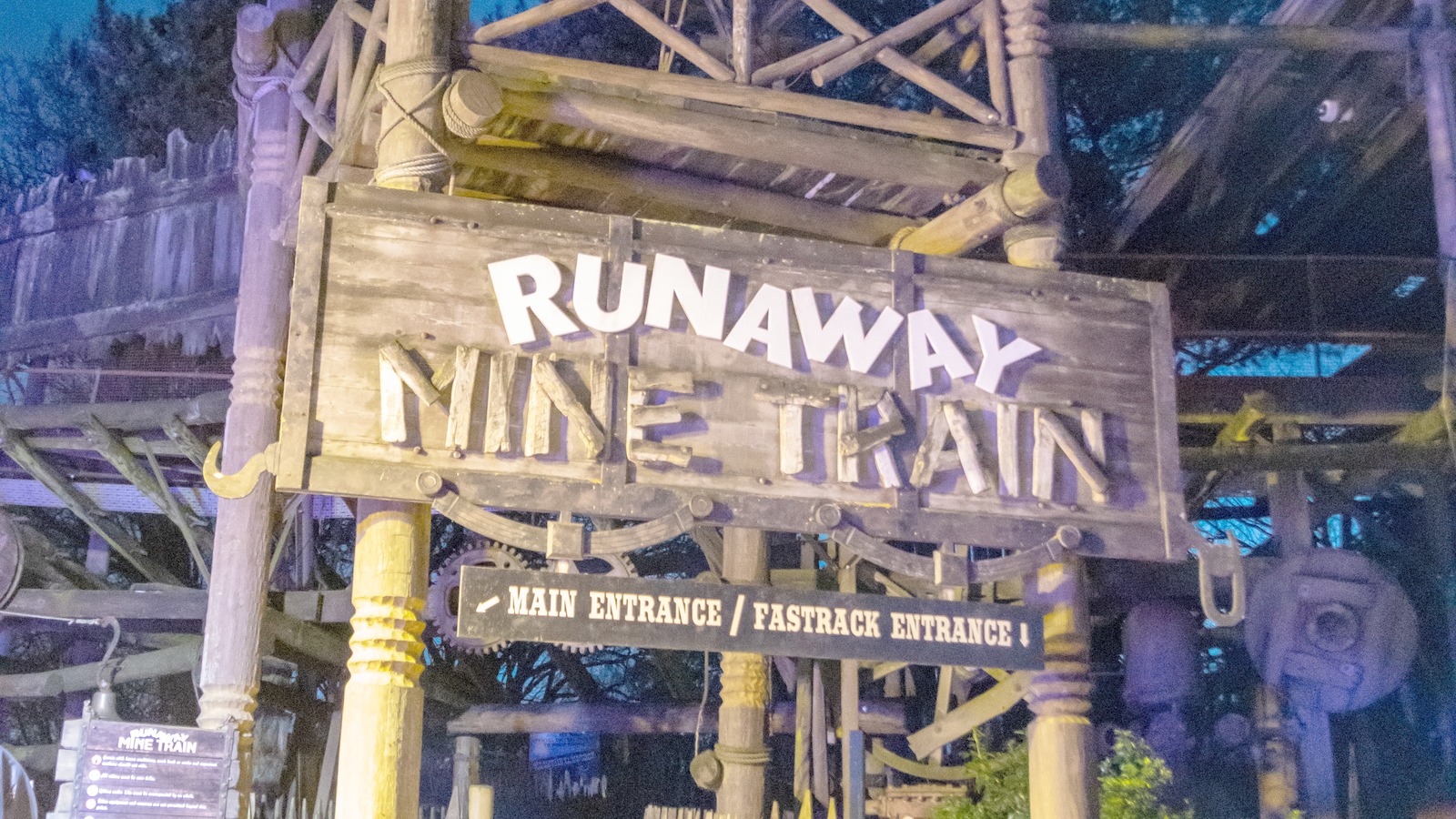
Katanga Canyon
Area
HeadlinersRunaway Mine Train and Congo River Rapids
The mine train and rapids provide landmarks; Sharkbait Reef is in neighboring Mutiny Bay.
Photo: Mike Peel , CC BY-SA 4.0. Cropped.
More Areas on the Map
- Dark ForestA separate coaster area beyond the central estate paths.
- Mutiny BayThe pirate-themed area is distinct from neighboring Katanga Canyon.
Related Park Maps
Parking and Arrival
Alton Towers Parking Map
The overview shows the park and arrival vicinity. Use operator directions and signs for the correct entrance.
- Main Arrival
- Follow the operator’s Alton directions and the signed car park route. Check current monorail or walking instructions for the transfer to the theme park entrance.
- Wayfinding
- Paths across the estate can be long and hilly. Use current access signs and the official app; transport marked on a map may not be operating.
- Visit-Day Services
- Use the map symbol key for restrooms, First Aid and guest services. Confirm accessible routes and seasonal paths with the operator before relying on them.
Quick Answers
Alton Towers Map FAQ
Is there a printable Alton Towers map PDF?
Yes. PDF Map opens the file hosted by Deep Arrival for printing or saving. Hosted PDF edition is unverified; use Official Map for the latest layout.
How do I use this map to plan my route?
Enter through Towers Street and use the towers and gardens to orient the estate. The major ride areas are spread apart, so choose a route before crossing the grounds.
Is this also the accommodation map?
No. This preview is the operator’s theme park image. The official maps page provides a separate resort accommodation PDF; use it for hotel and short-break orientation.
Where do I arrive for Alton Towers?
Follow the operator’s Alton directions and the signed car park route. Check current monorail or walking instructions for the transfer to the theme park entrance.
Does the map show live waits and closures?
No. The map identifies paths and attractions, not visit-day operation. Check the official app and posted signs for availability and show times. Park Tools links to this destination’s existing planning pages.
Sources
Operator files checked . Map editions and limitations are identified separately from the check date.