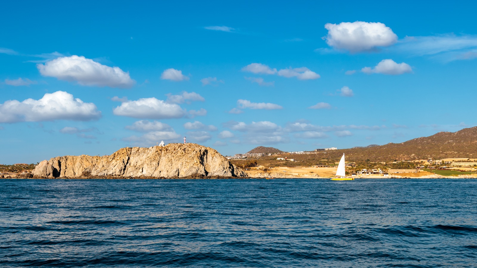
Church And Lighthouse Perched On the Cliff · TerryDOtt · CC BY 2.0 · cropped
The National Hurricane Center began issuing advisories on newly formed Tropical Depression Fifteen-E several hundred miles southwest of the southern tip of Baja California on September 13, while it continued advisories on Tropical Storm Norbert well east of the Hawaiian Islands. The September 13 tropical weather outlook from Miami and Honolulu says no other cyclone formation is expected over the next seven days, and names forecaster Gibbs on the text.
The traveler decision is whether to adjust Hawaii plans for Thursday into Friday, when the National Weather Service in Honolulu forecasts Norbert moisture arriving with greatly increased showers, and whether to watch Baja cruise and Cabo plans as Fifteen-E starts its advisory life. Pack rain flexibility using the Hawaii packing list, then monitor the two official outlooks below instead of cancelling.
- New formation: Tropical Depression Fifteen-E sits several hundred miles southwest of the southern Baja tip as of September 13.
- Norbert status: Tropical Storm Norbert holds well east of the Hawaiian Islands with NHC advisories continuing.
- Hawaii timing: Norbert moisture arrives Thursday into Friday with greatly increased shower coverage and intensity.
- Seven day view: The Hurricane Center expects no other tropical cyclone formation during the next seven days.
- Bottom line: No closures or airline ground stops are stated, so monitoring beats cancelling for now.
Fifteen-E Forms Southwest of Baja Tip
The National Hurricane Center eastern Pacific outlook says public advisories on Tropical Depression Fifteen-E go out under World Meteorological Organization header WTPZ35 KNHC and aviation header MIATCPEP5, with forecast advisories under WTPZ25 KNHC and MIATCMEP5. That header assignment matters because it marks Fifteen-E as a tracked system inside the official forecast process, not a mere disturbance to watch.
This is the material change from Deep Arrival September 11 Pacific outlook, which tracked advisories on Norbert and Lowell plus two developing disturbances with rising odds. The September 13 text replaces speculation with a named depression southwest of the Baja tip, while stating no further formation is expected in the next seven days.
Norbert Moisture Reaches Hawaii Thursday Into Friday
The National Weather Service Honolulu forecast discussion says moisture from the remains of Norbert should arrive Thursday into Friday, greatly increasing shower coverage and intensity across the islands. Forecasters raised rain chances through that window, with precipitable water values near two inches, while calling the rest of the week relatively dry for most travelers.
Miami still lists Norbert as an active tropical storm well east of the islands, while Honolulu describes its moisture pushing through Thursday and Friday, and both point at the same traveler outcome. No flood warning is stated in either text, so treat the headline flood risk as a watch item tied to that Thursday into Friday shower spike, not as an announced emergency.
What Hawaii Travelers Should Do Before Thursday
Keep Thursday and Friday flexible by moving outdoor plans such as road to Hana drives, summit sunrises, and boat days earlier in the week, since the National Weather Service expects the wettest weather then. Recheck the Honolulu hazards page on the morning of travel, because island shower bands shift quickly and a single dry forecast point can miss a wet windward slope.
Neither outlook states closures or airline ground stops, so monitoring beats cancelling for arrivals through Wednesday. Build an indoor backup for each outdoor day, from museums and hotel spa hours to covered markets, and leave an extra buffer for airport drives on the two wettest days.
What Baja and Cruise Travelers Should Watch
Fifteen-E sits several hundred miles southwest of the southern tip of Baja California, which puts it near the waters used by Cabo getaways and Mexican Riviera sailings without stating any coastal watch or warning. Cruise travelers should read the fine print of their line weather notices and travel insurance while the depression is young, because early tracks shift more than mature hurricane tracks.
Cabo resort travelers can hold normal plans with a shower backup and recheck the Hurricane Center outlook on September 14. The story changes only if a later advisory adds coastal watches, shifts the track toward land, or strengthens the depression, and none of those steps appear in the September 13 text.
Recheck Two Official Outlooks Before Thursday
Use the Hurricane Center eastern Pacific outlook for the official system positions and advisory headers, and the Honolulu forecast discussion for island by island timing of the Thursday into Friday moisture. The first tells you what the storms are doing, while the second tells you what your vacation day will feel like.
Recheck both on the evening before any Thursday or Friday activity, and again that morning. A new coastal watch, a track bending toward Baja Sur, or an expanded Hawaii hazard map would turn this watch into action, while a weaker moisture push would return the week to its otherwise dry pattern.
| If you… | What to do |
|---|---|
| Fly to Hawaii Thursday or Friday | Keep the ticket, pack rain layers, and recheck Honolulu hazards before leaving for the airport. |
| Visit Hawaii through Wednesday | Proceed normally and front load outdoor plans before the Thursday moisture arrival. |
| Sail a Baja or Mexican Riviera cruise | Monitor cruise line notices daily, since Fifteen-E is newly tracked and early tracks shift. |
| Stay in Cabo or southern Baja | Hold plans with a shower backup and recheck the September 14 Hurricane Center outlook. |
Thursday into Friday is the moisture gate. Schedule outdoor island activities before it and keep indoor backups for those two days.
September 13 is the advisory gate. Fifteen-E entered the official forecast process, so Baja cruise travelers should confirm flexible rebooking terms now.
The next outlook is the decision gate. Recheck the Hurricane Center and Honolulu texts before Thursday to confirm or stand down the shower spike.
Is Hawaii under a flood warning because of Norbert?
No. Neither the Hurricane Center nor Honolulu has stated a flood warning. Honolulu forecasts greatly increased showers Thursday into Friday, so treat flood risk as a watch item for low lying and windward roads.
Will Tropical Depression Fifteen-E hit Cabo San Lucas?
That is not stated. The September 13 outlook places it several hundred miles southwest of the southern Baja tip with advisories newly issued and no coastal watch. Recheck the next advisory for track changes.
Should I cancel a Hawaii trip for Thursday or Friday?
No cancellation signal appears in either outlook. Keep the trip, shift outdoor plans earlier in the week, and pack rain layers using the Hawaii packing guidance linked above.
Are Baja cruises cancelled this week?
No closures are stated for cruise ports or sailings. Monitor your cruise line notices each day while Fifteen-E is new, since early tropical tracks can shift.
Where do I check the next update?
Read the Hurricane Center eastern Pacific outlook for system positions and the Honolulu forecast discussion for Hawaii timing, both linked in this story. Check again the evening before Thursday plans.