Buidhe · CC BY-SA 4.0 · cropped, adjusted
Mount Baker-Snoqualmie National Forest closes Talapus Lake Trail 1039, the road that reaches it and the trailhead itself from September 21 through October 31, 2026, for what the order calls trailhead expansion project work. The Forest Service published the closure on August 24.
That takes one of the gentlest lake hikes off the board for six weeks of prime larch and fog season, on an I-90 corridor where a separate Three Queens Fire closure already runs to the same October 31 date. The Washington Trails Association listing carries the closure dates too and calls the work trailhead construction.
- Closed: Talapus Lake Trail 1039, Forest Service Road 9030 above the 9031 junction, and the developed trailhead including its parking.
- When: September 21 through October 31, 2026, a 41 day block with no partial reopening announced.
- Why: trailhead expansion project work, in the order’s own words.
- Still open at the same exit: Forest Service Road 9031 and the Ira Spring Trailhead for Mason Lake.
The Closure Starts at the Fork, Not at the Freeway
The order is specific about where the road shuts. It closes Road 9030 from its intersection with Road 9031 through the trailhead, which means the shared first three quarters of a mile off I-90 exit 45 is not inside the closed area.
That wording is the single most useful line in the notice, because the fork is where the Talapus road and the Mason Lake road separate. Drive it and you keep every option that lies left of the split.
Three Prohibitions, So Walking In Is Not a Workaround
The Forest Service lists three prohibited acts rather than one: being on a National Forest System trail, entering or using a developed recreation site, and being on the road. Each closes a different loophole.
Together they rule out parking at the junction and hiking the road bed, which is the standard move when only a road is gated. The trail, the road and the site are shut as a unit for the full window.
What You Lose for Six Weeks
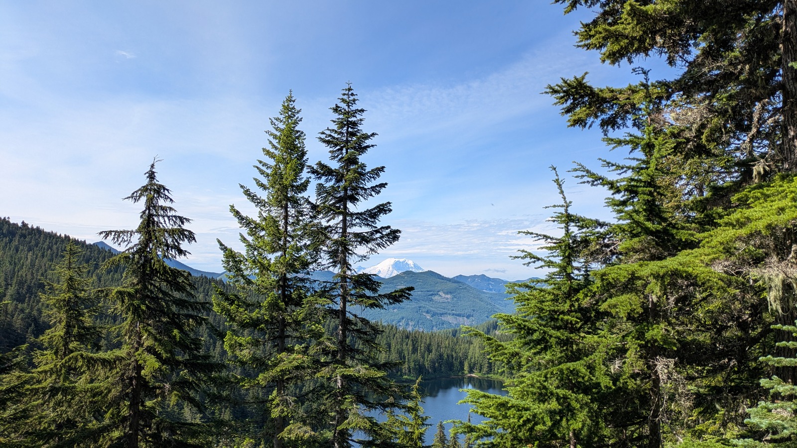
Talapus runs 6.2 miles roundtrip with 1,220 feet of gain to a high point of 3,780 feet, which is why it carries so many first backpacking trips and so many families. The lake itself sits 3.1 miles in.
The route is also a corridor rather than a dead end. Olallie Lake lies roughly 1.5 miles beyond Talapus, and a spur meets Pratt Lake Trail 1007 about two tenths of a mile past that junction.
Mason Lake Is the Substitute at the Same Junction
At the fork 0.75 mile in, Road 9030 branches right toward Talapus while Road 9031, signed Mason Lake Road, bears left and runs 3.2 miles to the Ira Spring Trailhead at 2,150 feet. The closure order names neither the road nor that trailhead.
The trade is real effort, not a like for like swap. Ira Spring to Mason Lake is 7.0 miles roundtrip with 2,420 feet of gain to 4,320 feet, rated moderate to hard, so a group that chose Talapus for its mild grade should look at that number before committing.
Olallie Lake Keeps a Back Door at Exit 47
Only Trail 1039 is named in the closure, so the wider Olallie and Pratt network is not itself shut. The Pratt Lake Trailhead sits two exits east at I-90 exit 47, north from the ramp, left at the T and a quarter mile to road’s end at 2,080 feet.
Treat that as a longer approach to the same water rather than a swap. Anyone reaching Olallie from the Pratt side should turn around at the junction with Trail 1039 instead of continuing down toward Talapus.
Passes and Conditions Still Apply Wherever You Land
All three trailheads charge the same day use fee, 5 dollars per vehicle per day or 30 dollars annually, covered by a Northwest Forest Pass or an Interagency pass. Each has vault toilets and picnic tables and none has drinking water.
Separately, the forest currently has a campfire ban in effect and rates fire danger Very High across the North and Central Cascades. Those are conditions of the moment rather than parts of this order, so check them again close to your date.
If the corridor smokes in or the forecast collapses, the fallback most Seattle drivers already know sits on the valley floor below all three trailheads. Our guide to Twin Peaks filming locations in Snoqualmie and North Bend maps a rain proof version of the same drive off the same freeway.
| If you… | What to do |
|---|---|
| Have a Talapus trip booked between September 21 and October 31 | Move it. The trail, the road above the fork and the parking area are all inside the closure. |
| Wanted an easy lake hike off exit 45 | Go before September 21, or accept Ira Spring at 2,420 feet of gain instead of 1,220. |
| Are chasing Olallie Lake specifically | Approach from Pratt Lake Trailhead at exit 47 and turn back at the Trail 1039 junction. |
| Planned to park low and walk the road up | Choose something else. Being on the road is separately prohibited in the order. |
| Want Talapus in autumn colour | The window is now through September 20, then again from November 1. |
September 20 is the last usable day. The closure begins September 21, so a weekend trip needs to happen before then or wait out the block.
November 1 is the earliest return. The order ends October 31 and the Forest Service has published no partial or early reopening.
The fork at 0.75 mile is the decision point. Left keeps Mason Lake, right is closed, and both share the same exit 45 approach and the same pass.
Exactly what is closed?
Talapus Lake Trail 1039, Forest Service Road 9030 from its intersection with Road 9031 through the trailhead, and the developed recreation site including the parking area.
Can I still drive to the Ira Spring Trailhead?
Road 9031 and the Ira Spring Trailhead are not named in the closure. The order limits itself to Road 9030 above the junction where the two roads split.
Can I walk or bike in past the gate?
No. The order separately prohibits being on a National Forest System trail, entering or using a developed recreation site, and being on the road.
Is Olallie Lake closed too?
The order names only Trail 1039. Olallie is still reachable from the Pratt Lake side at I-90 exit 47, though it is a longer day than the Talapus approach.
Why is the trailhead being rebuilt?
The Forest Service describes the work only as a trailhead expansion project. It has not published what the finished trailhead adds or how many vehicles it will hold.
Could the closure run past October 31?
The published order ends October 31, 2026. The forest has not announced an extension, so check the Mount Baker-Snoqualmie alerts page before a first week of November trip.