Kugel · CC BY-SA 4.0 · edited
Severe Tropical Storm Surigae, Japan’s 26th storm of the season, is expected to approach Okinawa with strong intensity by around Monday 28 September 2026, bringing sustained winds of about 83 km/h, gusts up to 126 km/h and waves up to six metres, the Japan Meteorological Agency (JMA) says, NHK World reports. A warning has been issued for high waves and strong winds, and the storm is then forecast to approach the Amami region of Kagoshima Prefecture.
Airlines have started to react: Japan Airlines is waiving change fees on some island flights; see our report on JAL’s Typhoon 26 ticket waivers for Amami and Daito. Travellers heading to Okinawa or the Amami islands this weekend and early next week should plan for rough seas, possible flight and ferry disruption, and changing forecasts.
- Storm: Severe Tropical Storm Surigae, the season’s 26th, moving north toward Okinawa.
- Sunday 27 September: winds of about 83 km/h and gusts to 126 km/h in the Okinawa main island region; waves up to 6 m.
- Monday 28 September: similar winds in Okinawa and Kagoshima’s Amami region.
- Warnings: high waves and strong winds; landslide risk.
- Airlines: JAL waiving changes on some Amami and Daito flights.
Surigae Forecast Winds and Waves for Okinawa
As of 3 p.m. on Saturday 26 September, Surigae was moving north-northwest at 15 km/h over waters south of Okinawa, with a central pressure of 996 hectopascals, sustained winds of up to 90 km/h near its centre and gusts of 126 km/h, the JMA said. It is expected to keep moving north and come close to Okinawa while maintaining strong intensity by around Monday.
Winds are expected to gradually strengthen across the prefecture. On Sunday, maximum sustained winds of about 83 km/h and peak gusts of 126 km/h are forecast in Okinawa, with waves of up to six metres offshore. Earlier on Saturday, NHK reported forecast winds of around 65 km/h and gusts of 108 km/h for the Miyakojima island region.
Amami Region on Monday
On Monday 28 September, maximum sustained winds of about 83 km/h and gusts of 126 km/h are expected in Okinawa and in the Amami region of Kagoshima Prefecture, the JMA says. People in both areas are urged to stay alert for high waves and to take precautions against strong winds, landslides and other storm hazards.
The JMA says there is still considerable uncertainty about the storm’s track from the second half of next week. Japan Today reported earlier that, depending on its path, the storm could also affect weather on Honshu, Japan’s main island.
Flights, Ferries and Beaches
Strong winds and waves of up to six metres can lead to ferry cancellations and flight delays or cancellations on routes serving Okinawa’s outer islands and Amami while the storm is close, so check your airline or ferry operator before heading to the airport or port. JAL has already set up free changes and refunds for some Amami flights on 28 September and Daito flights on 28 to 29 September. Avoid beaches, sea walls and snorkelling or diving trips while high wave warnings are in place.
Separately, a seasonal rain front is expected to linger near Honshu into next week. People in Chiba and Kanagawa prefectures, hit by record rainfall after Typhoon Dujuan, are advised to keep checking the latest weather information.
Planning Okinawa Trips This Week
If your trip to Okinawa or Amami falls between Sunday and Tuesday, keep plans flexible, book changeable fares where possible, and hold off on boat excursions until the warnings are lifted. If you are already on the islands, stock up on essentials before winds strengthen, stay indoors during the strongest gusts, and follow instructions from local authorities and your hotel. Because the track later in the week is uncertain, travellers heading to Kyushu or Honshu should also watch JMA updates.
| If you are | What to do |
|---|---|
| Flying to Okinawa or Amami, 27 to 29 September | Check your flight status and ask about free changes before leaving. |
| Booked on JAL to Amami or the Daito islands | Use JAL’s free change or refund for the affected dates. |
| Taking a ferry or boat trip | Expect cancellations while high wave warnings are in force. |
| Already in Okinawa | Stay indoors in the strongest winds and follow local instructions. |
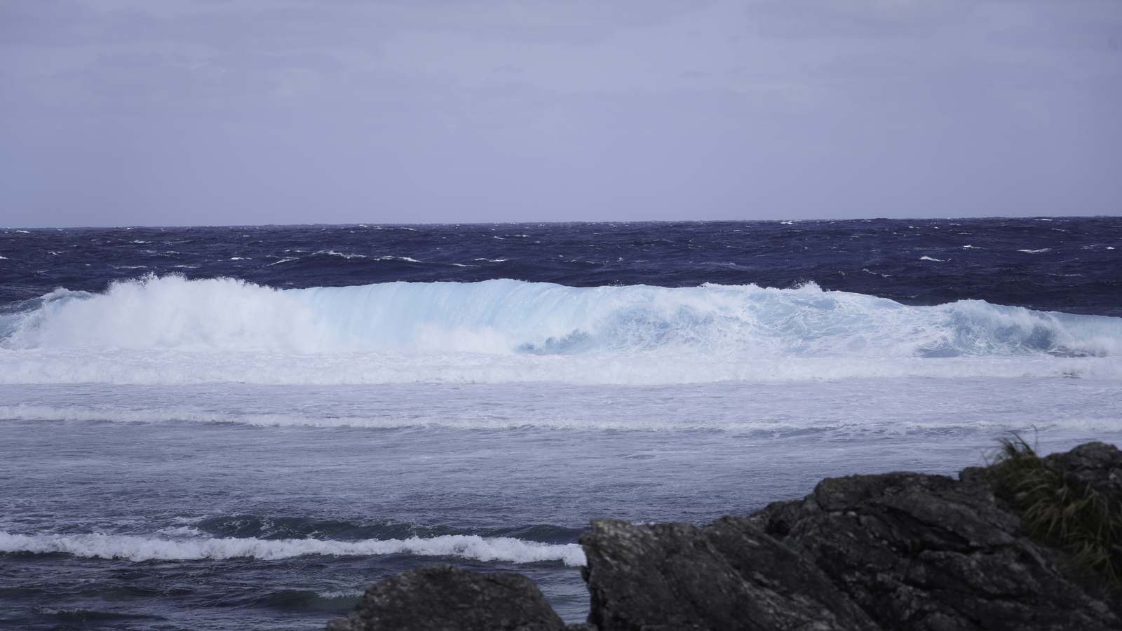
Rough seas. Waves up to six metres off Okinawa on Sunday.
Strong gusts. Up to 126 km/h in Okinawa and Amami on Sunday and Monday.
Uncertain path. The track later next week could bring weather to Honshu.
When will Surigae reach Okinawa?
The JMA expects it to come close to Okinawa with strong intensity by around Monday 28 September 2026, with winds strengthening from Sunday.
Are flights to Okinawa cancelled?
Check with your airline. JAL is offering free changes on some Amami and Daito flights, and further disruption is possible while the storm is close.
Will Surigae affect Tokyo?
It is too early to say. The JMA says the track from the second half of next week is highly uncertain.