John Salatas · CC BY-SA 4.0 · edited
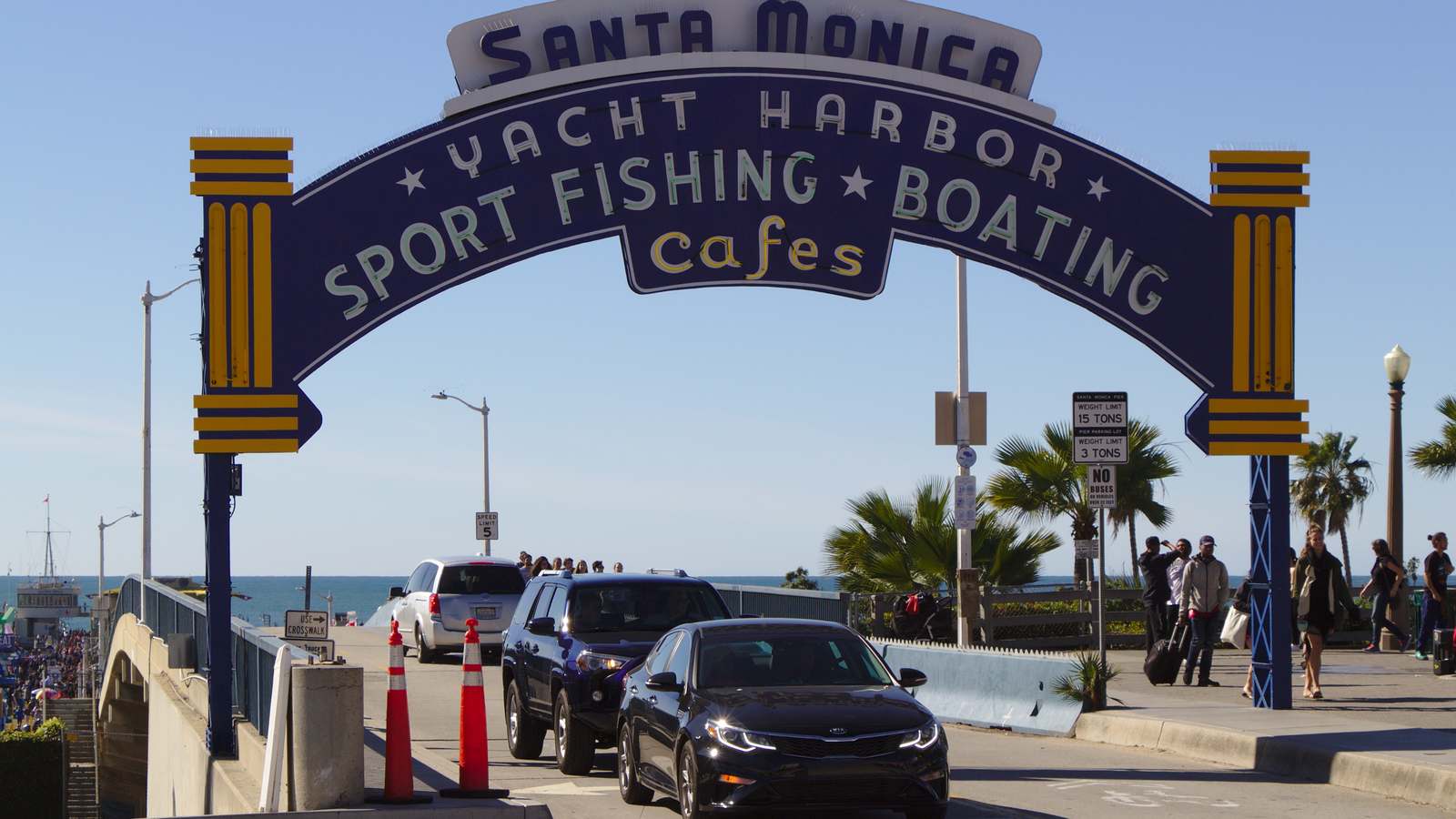
Drivers heading to the Santa Monica Pier from Pacific Coast Highway will need a new route for about two months. The City of Santa Monica said the Moomat Ahiko Way on and off ramps to and from PCH are expected to fully close starting as early as Monday, September 28, so crews can demolish the final portion of the old Pier bridge.
The Pier itself stays open throughout, including all restaurants, shops, attractions and businesses, the city said. If you are planning a visit, our guide to things to do in Santa Monica covers the Pier and the rest of the beachfront, and our Pacific Park map shows the rides on the Pier.
- What closes: Moomat Ahiko Way on and off ramps to and from Pacific Coast Highway.
- When: as early as Monday, September 28, 2026, for about two months.
- Why: demolition of the last section of the old Pier bridge, then new bridge columns.
- Detour: southbound PCH drivers exit at the California Incline or take I-10 east to Lincoln Boulevard.
- Pier status: open, with all businesses and attractions operating.
Moomat Ahiko Way Ramps Close From September 28
Moomat Ahiko Way is the short road that runs between Ocean Avenue and PCH, passing under the Pier. The city said this will be the largest portion of the bridge demolished since the replacement project began, and crews will use the closed ramps to stage equipment and keep drivers clear of the work. Once the old section is down, crews will build the columns for the new bridge.
The Santa Monica Daily Press reported that the road has closed temporarily before, but this closure will last far longer than any earlier shutdown. The city’s wording is “as early as” September 28, so the start could move by a few days.
Detours for Drivers on PCH and Ocean Avenue
The city laid out two detours. Drivers traveling southbound on PCH will be directed to exit at the California Incline, or to continue on eastbound I-10 to Lincoln Boulevard. Drivers on Ocean Avenue who want to reach PCH should continue north to the California Incline.
The city said visitors can still reach the Pier by following posted signs to alternate routes and parking facilities, and asked everyone to plan ahead and allow extra time. The Daily Press noted that city reports have described Moomat Ahiko Way as operating at or near capacity for years, so expect more traffic on Ocean Avenue and the California Incline while the ramps are closed.
Why the Pier Bridge Is Being Replaced
The project replaces the nearly 87 year old bridge that is the Pier’s primary vehicle access, the city said. According to the Daily Press, the bridge was built in 1939 by the Works Progress Administration and had fallen to a score of 8.2 on a 100 point federal sufficiency scale, and the replacement costs $35.6 million.
Westside Current reported that the city’s current schedule anticipates completing the project in December 2027. The city has said it aims to keep access to the Pier open throughout construction whenever possible.
How to Plan a Pier Visit During the Closure
If you are driving south along PCH from Malibu or the Palisades, plan to leave the highway at the California Incline and come up into downtown Santa Monica rather than using the ramp under the Pier. If you miss the Incline, the city’s second route is to stay on the highway as it becomes eastbound I-10 and exit at Lincoln Boulevard, then head back toward the beach. Build in extra time on busy weekends and during events at the Pier.
Walking, biking or taking transit into downtown Santa Monica avoids the detour altogether. Leaving the Pier by car, use Ocean Avenue and the California Incline if you are heading north on PCH. For live updates, the city’s project page at santamonica.gov/programs/pier-bridge-improvements offers construction alerts.
| If you… | What to do |
|---|---|
| Drive south on PCH to the Pier | Exit at the California Incline. |
| Miss the California Incline exit | Continue onto eastbound I-10 and exit at Lincoln Boulevard. |
| Leave from Ocean Avenue for PCH | Head north to the California Incline. |
| Plan to visit rides or restaurants | Go ahead; the Pier stays open. |
| Visit on a weekend | Allow extra time for detour traffic. |
About two months of ramp closures from as early as September 28.
Pier open with all attractions and businesses.
California Incline is the main detour from PCH.
Is the Santa Monica Pier open?
Yes. The city says the Pier and all its businesses stay open during the closure.
What road is closing?
The Moomat Ahiko Way on and off ramps to and from Pacific Coast Highway.
How long will the ramps be closed?
About two months, starting as early as September 28, 2026.
How do I get to the Pier from PCH?
Southbound, exit at the California Incline, or take I-10 east to Lincoln Boulevard.
When will the new bridge be finished?
The city’s schedule anticipates December 2027, Westside Current reported.