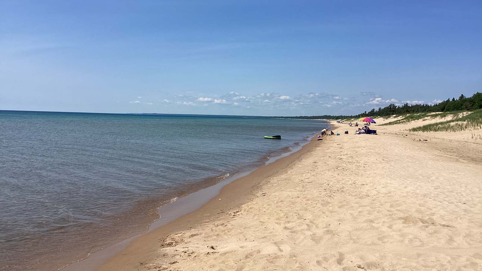
Pictured Rocks National Lakeshore will close Sand Point Road to all vehicles and pedestrians from October 1 through October 14, 2026. The closure cuts off Sand Point Beach, the Sand Point Marsh Trail and the park headquarters for two weeks in the middle of the fall visiting season.
The park announced the closure on September 22, saying crews will replace a culvert on the road. If you are building a fall trip around the cliffs and waterfalls, our Pictured Rocks National Lakeshore guide covers the rest of the park, which stays open.
- What closes: Sand Point Road east of the park boundary, to vehicles and pedestrians.
- When: October 1 through October 14, 2026.
- Also closed: Sand Point Beach, Sand Point Marsh Trail, park headquarters.
- Still open: Munising Falls Visitor Center, Munising Memorial Hospital, private residences on the road.
- Why: culvert replacement funded by the Great Lakes Restoration Initiative.
What Is Closed and What Is Not
The closed stretch is Sand Point Road east of the Pictured Rocks boundary, running out to the end of the road. During the two weeks, there is no vehicle or pedestrian access to Sand Point Beach or the Sand Point Marsh Trail, the short accessible boardwalk loop that is one of the easiest walks in the park. The park headquarters on Sand Point is also cut off, so plan to handle questions by phone rather than in person.
Access is not affected for Munising Memorial Hospital, the Munising Falls Visitor Center, or the private homes along Sand Point Road, according to the park. Munising Falls remains the practical place to start a visit on this end of the lakeshore while the road is shut.
If You Are Backpacking
The park advises backpackers to park at the Munising Falls Visitor Center during the closure. If you use a shuttle service for point to point hikes on the Lakeshore Trail, contact the operator ahead of time and agree on a pickup and drop off point that does not rely on Sand Point Road. That matters most for hikers finishing at the west end of the trail, where Sand Point is the obvious meeting place the rest of the year.
Book shuttles early in October. Fall is a busy stretch in the Munising area, and a last minute change of pickup point is harder to arrange once operators are full.
Why the Road Is Being Dug Up
The work replaces a culvert to improve hydrologic connectivity between the Sand Point Wetland and Lake Superior, the park says. The project is funded through the Great Lakes Restoration Initiative, the federal program that pays for restoration work across the Great Lakes basin.
“Improving connectivity with Lake Superior is critical to maintaining its ecological health,” park superintendent David Horne said in the announcement. Travelers should read the closure as maintenance rather than a sign of a wider shutdown: the rest of Pictured Rocks, including the boat tours from Munising and the overlooks along the county road, operates normally.
This Is the Second Phase This Year
The same road closed earlier in the season for the same project. Sand Point Road was shut from July 8 to 17, with the same list of closed sites and the same detour advice, as public radio station WNMU reported at the time. The park did not say in September whether any further closures will follow this one, so check the park website before you drive out to Sand Point later in the fall.
Questions about access during the work go to the Munising Falls Visitor Center at 906-387-3700. The park also posts updates on its website and social accounts, which is the fastest way to learn if the reopening slips past October 14.
| If you… | What to do |
|---|---|
| Planned a Sand Point Beach day in early October | Move it before October 1 or after October 14. |
| Wanted the Sand Point Marsh Trail | Choose another short walk; the boardwalk is closed. |
| Are backpacking the Lakeshore Trail | Park at Munising Falls and rearrange shuttle pickup. |
| Need the park headquarters | Call 906-387-3700 instead of visiting. |
| Are visiting the cliffs or waterfalls | No change; the rest of the park stays open. |
Two weeks closed, October 1 to 14.
Beach, boardwalk and headquarters all unreachable.
Munising Falls is the alternative trailhead and parking.
When is Sand Point Road closed?
From October 1 through October 14, 2026, to both vehicles and pedestrians.
Can I walk in to Sand Point Beach?
No. The closure covers pedestrian traffic as well as vehicles.
Is the rest of Pictured Rocks open?
Yes. Only Sand Point Road and the sites it serves are affected.
Where should backpackers park?
At the Munising Falls Visitor Center, coordinating pickup points with shuttle services.
Why is the road closed?
Crews are replacing a culvert to improve water flow between the Sand Point Wetland and Lake Superior.