Frank Schulenburg · CC BY-SA 4.0 · edited
The National Hurricane Center kept two named Pacific storms on its advisory list on September 10, 2026. Tropical Storm Norbert held several hundred miles west-southwest of the southern tip of Baja California, while Tropical Storm Lowell stayed well northwest of Hawaii. The 2:00 p.m. Hawaii time outlook from Miami and Honolulu also tracks two developing disturbances with rising seven day odds.
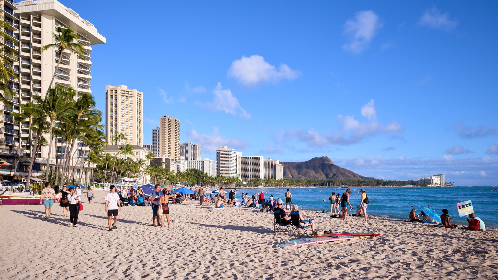
The traveler decision is whether to adjust Hawaii and Baja plans through the weekend and into early next week. No closures or airline ground stops came with this outlook, so monitoring beats cancelling, with flood risk as the item to watch. Hawaii bound travelers should review the Hawaii packing list with rain flexibility in mind, since tropical moisture is already near the islands.
- Outlook date: September 10, 2026, 2:00 p.m. Hawaii time, NHC Miami with Honolulu.
- Named storms: Norbert off Baja tip; Lowell well northwest of Hawaii.
- Top odds: Mexico system 20 percent at 48 hours, 80 percent at seven days.
- Hawaii item: Southeast trough 20 percent at 48 hours, 30 percent at seven days.
Norbert Holds Several Hundred Miles Off Baja
The September 10 National Hurricane Center tropical weather outlook confirms advisories continue on Norbert, holding it inside the official forecast process. Its position west-southwest of the southern tip of Baja California keeps it near Baja Sur beach and cruise itineraries, though the outlook text announces no coastal warnings for the peninsula.
Baja travelers should still confirm water excursions the night before each outing. A storm several hundred miles offshore can roughen seas and change operator calls on short notice. Keep the first hotel night flexible where terms allow, so a one day weather slip does not cascade through the trip.
Lowell Stays Northwest of Hawaii as Flood Risk Leads
Lowell sits well northwest of the Hawaiian Islands, far enough that the direct wind threat reads low. The Honolulu forecast office’s current hazards and office page on the evening of September 10 listed a flood advisory among its products and carried Lowell wind and rainfall roundups. Showers near island terrain can flood locally even with a named storm offshore, so flood risk is the honest payoff here.
Recent precedent supports caution without overstating it. A September 7 flood watch covered all Hawaiian Islands, and an August storm episode closed park areas, as covered in the Tropical Storm Moke park closure story. Neither event predicts the current systems, but both show how fast tropical moisture becomes a same day itinerary problem.
Hawaii Disturbance Drifts North at 30 Percent
The disturbance southeast of the islands is the one Hawaii visitors should learn first. Disorganized showers and thunderstorms more than 500 miles southeast of Hawaii, tied to a broad trough, may develop gradually over the next few days into the weekend. The track runs generally northward, then meanders southeast of the islands, keeping the feature in the island vicinity.
Forecaster Papin assigns a 20 percent formation chance through 48 hours and 30 percent through seven days. A workable routine is to read the outlook text each morning and check the Honolulu hazards map for your island. If the percentages climb, shift flexible outdoor days earlier and keep a sheltered backup for the back half of the trip.
Mexico System Carries 80 Percent Chance Early Next Week
The second developing system sits several hundred miles southwest of the southwestern coast of Mexico. The outlook anticipates gradual development, with a tropical depression likely by early next week as it moves west-northwest to west across the central and western East Pacific. Its chances run 20 percent through 48 hours and 80 percent through seven days.
The 80 percent seven day figure is the hurricane center’s high category, so Mexico Pacific coast travelers should track this system daily even though it has no name today. The staggered timing matters: Hawaii faces the nearer weekend question, while the Mexico coast question sharpens early next week. The outlook extends no closures or cancellations beyond these windows.
| If you… | What to do |
|---|---|
| Fly to Hawaii this weekend | Go, but recheck the September 10 outlook each morning and keep one indoor day in reserve. |
| Hold Baja Sur beach or boat plans | Confirm water excursions the night before, since Norbert offshore can still disturb seas. |
| Visit the Mexico Pacific coast early next week | Track the southwest Mexico system daily, with depression likely at an 80 percent seven day chance. |
| Can still adjust bookings | Favor flexible rates and morning activities until the weekend Hawaii disturbance resolves. |
September 11 to 13 is the Hawaii disturbance window. Check the outlook text and Honolulu hazards each morning before hikes or interisland hops.
Early next week is the Mexico system gate. If the 80 percent chance converts to a depression, revisit Baja and mainland Pacific water plans first.
The 48 hour numbers are the calm signal. Both disturbances sit at 20 percent through 48 hours, so no outlook based reason to cancel today exists.
Are Hawaii flights cancelled because of Lowell or the new disturbance?
No cancellations came with the September 10 outlook. Lowell sits well northwest of the islands and the southeast disturbance holds only a 20 percent 48 hour chance, so fly as planned while monitoring updates.
Is it safe to visit Baja California while Norbert is active?
Norbert is several hundred miles offshore with no coastal warnings in the outlook text. Keep land plans and confirm boat excursions directly with operators before heading out.
What does an 80 percent formation chance mean for my Mexico trip?
It means the hurricane center expects a tropical depression to likely form by early next week southwest of Mexico. It signals high development confidence, not a landfall forecast for a specific resort.
Where do I check official updates during the trip?
Read the National Hurricane Center outlook text for the basin discussion and the Honolulu office hazards map for island level products, since island impacts can differ from the basin picture.
Should I change flexible bookings now?
No cancellation is warranted on the 48 hour numbers, but flexible rates and refundable excursions are worth keeping until the weekend Hawaii disturbance and the early next week Mexico system resolve.