W. Bulach · CC BY-SA 4.0 · cropped
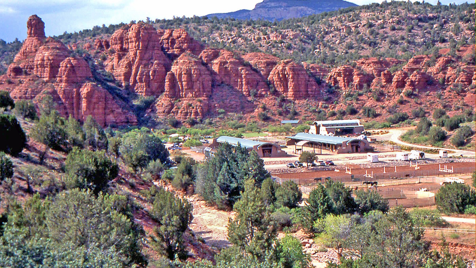
Coconino National Forest lifted the temporary Oak Creek closure on Thursday, September 17, 2026, restoring public access to the creek and nearly all recreation sites along it north of Sedona, Arizona, according to a forest press release dated September 14. The same notice keeps the West Fork watershed, the West Fork Trail, and Call of the Canyon closed until October 1, 2026, because that drainage still carries a higher flood risk after the Pocket Fire.
If you planned a creek swim, picnic, or canyon hike this week, treat September 17 as the reopen date for most Oak Creek sites and keep West Fork off the list until October. Pair that check with Deep Arrival’s Sedona things to do guide so you can swap in an open trail or town stop if a remaining closure still blocks your first choice.
- Reopened: Oak Creek and nearly all recreation sites along it, as of September 17, 2026.
- Still closed: West Fork watershed, West Fork Trail, and Call of the Canyon through October 1, 2026.
- Trail holdouts: Bear Sign, David Miller, Dry Creek, HS Canyon, and Secret Canyon remain closed until October 1.
- Cause: Pocket Fire closures that began in June, then stayed in place through monsoon flood caution.
- Next step: Recheck Coconino National Forest alerts before you leave, and skip West Fork until October.
Coconino National Forest Lifted the Oak Creek Closure on Sept 17
The forest’s September 14 release, issued from Sedona, states that the temporary Oak Creek closure in effect since July would lift on Thursday, September 17. That restore covers public access to the creek itself and nearly all recreation sites along Oak Creek. It does not reopen every Pocket Fire site in the Red Rock country.
Forest officials closed the creek after the Pocket Fire started in June and kept it closed once active fire danger receded. The stated reason was monsoon flood caution, so no one would be caught if ash, sediment, or debris pulsed down the drainage. Coconino National Forest now says that first half of monsoon season already moved much of that material through the system.
FOX 10 Phoenix, reporting the same forest notice, described the Pocket Fire as a June burn of more than 27,000 acres north of Sedona that triggered evacuations and site closures. The station’s independent account matches the forest on the September 17 reopen date and on West Fork remaining closed. Use that pairing when you decide whether a Sedona canyon day is back on.
The press release does not publish a site-by-site reopen roster for every picnic ground or campground along the creek. It uses the phrase “nearly all recreation sites along Oak Creek.” Do not assume a favorite spur, parking pullout, or unnamed operator is open unless the forest or that site’s own page names it.
West Fork and Five Named Trails Stay Closed Until Oct 1
A new forest order keeps three West Fork assets closed until October 1, 2026: the West Fork watershed, its trail, and Call of the Canyon. The forest says that watershed took a higher percentage of fire damage and still poses a higher flooding risk than the main Oak Creek corridor. West Fork is the popular shaded canyon hike many visitors treat as a first-day Sedona walk, so this is the planning split that matters.
Separately, the Pocket Fire Temporary Area and Trail Closure stays in force until October 1 for five named trails: Bear Sign, David Miller, Dry Creek, HS Canyon, and Secret Canyon. Those are not Oak Creek swimming sites. They are backcountry trails in the Pocket Fire area, and the forest lists them as still closed even as the creek corridor reopens.
Many other trails in the Red Rock Secret Canyon Wilderness are now open, the forest says, but monsoon runoff washed some tread out. Hikers should expect missing trail, confusing ground, and a remote landscape that is easy to lose in when blazes and cairns disappear. Stay on marked, open trails and carry a map that still works if the path vanishes.
FOX 10 quoted Kelsey Whitaker of the Oak Creek Watershed Council warning that this is not a weekend to leave the beaten path. Debris and sediment moved through the system, some ground may be unstable, and off-trail travel also stresses a creek still rebuilding insect and plant life. That is a conservation note layered on top of the legal closure list, not a substitute for it.
Flood Risk Is Back to a Typical Monsoon Year
A Burned Area Emergency Response team determined that only a small percentage of the Oak Creek watershed actually burned in the Pocket Fire, the forest says. Flood risk in the creek is now described as equal to a normal monsoon storm, not higher than a year with no fire. That is the technical basis for lifting the main corridor closure.
July and August storms washed ash, sediment, and burned material through Oak Creek, which the forest says greatly reduced the danger of sediment and log dams forming. Those same storms also sped grass and successional plant growth on the burn, which the forest ties to greater slope stability and less runoff. Officials will keep monitoring Oak Creek, West Fork, and the rest of the Pocket Fire area.
The forest still tells visitors to watch monsoon forecasts and check weather before swimming or recreating in the creek. Residual risk never drops to zero, even when the special post-fire overlay is gone. If a storm cell is building over the Mogollon Rim or the canyon, leave the water and get to high ground before a pulse arrives.
Travelers flying in should still build slack into the day. The closest airport to Sedona guide is the practical next click if you are connecting through Phoenix or Flagstaff and then driving State Route 89A into the canyon. A late arrival plus a monsoon cell is a reason to swim tomorrow, not at dusk.
Slide Rock Swim Area Is Open at Your Own Risk
Arizona State Parks, which manages Slide Rock State Park as a separate unit from Forest Service land, states on its Slide Rock page that the swim area has reopened in coordination with the revised U.S. Forest Service Oak Creek order. That is the park’s own notice, not a transfer of the forest reopen onto the state park. Swimming is allowed at your own risk, and the park says it is not recommended.
Do not treat that line as a water-quality all-clear. The park is telling you the legal swim area is back, while still pushing personal safety to the visitor. If the creek is high, stained, or a storm is nearby, stay out. If you go in, keep a dry exit and watch children on the slick sandstone.
West Fork remains the site visitors most often confuse with Slide Rock. They are different places. Slide Rock sits in Oak Creek Canyon as a state park. West Fork Trail and Call of the Canyon stay closed on forest land until October 1. A Slide Rock ticket or parking plan does not get you onto West Fork.
Campers comparing canyon nights can use Deep Arrival’s Sedona RV parks and campgrounds guide for legal overnight options around town. The forest press release does not name Manzanita Campground or any other specific campground as open or closed in the September 14 restore, so confirm the exact site on Recreation.gov or the forest alerts page before you drive in with a reservation.
Sedona Creek Trip Planning After the Pocket Fire
The useful sequence is short. Confirm Oak Creek is the corridor you want, confirm West Fork is not, then check the five still-closed Pocket Fire trails if your hike list includes Bear Sign, David Miller, Dry Creek, HS Canyon, or Secret Canyon. If your plan was West Fork on September 18, 19, or any day before October 1, pick another hike now rather than hoping the order lifts early.
Red Rock Ranger District is the contact on the forest release, at 928-203-2900. Call if you need a named site that the press release does not list. The forest also points visitors to current alerts and the new order rather than to social posts. Screenshot the order date so you are not relying on a June closure graphic still circulating in group chats.
Expect crowds on the first full weekend after the lift. Parking at popular canyon pullouts filled on ordinary summer days before the fire, and a reopen after a three-month pause will pull demand forward. Arrive early, have a second hike in town, and leave if lots are full. Do not create a new pullout on a burn-scarred shoulder.
Pack out trash, skip rock stacking in the creek, and stay on durable surfaces. Whitaker’s FOX 10 comments are about mayfly larvae and sediment-stressed habitat, which is a visitor-behavior ask rather than a new legal rule. It still changes how you use an open creek: enjoy the water, keep the footprint small, and treat the first weeks after reopen as recovery, not a party.
| If you… | What to do |
|---|---|
| Wanted to swim or picnic along Oak Creek this week | Go after September 17, 2026, and recheck forest alerts the morning you drive up 89A. |
| Had West Fork Trail or Call of the Canyon on the plan | Wait until October 1, 2026, or switch to an open wilderness trail that is not on the closed list. |
| Planned Bear Sign, David Miller, Dry Creek, HS Canyon, or Secret Canyon | Those five remain closed through October 1 under the Pocket Fire trail order. |
| Are headed to Slide Rock State Park | The park says the swim area is reopened at your own risk; swimming is allowed but not recommended. |
September 17, 2026 is the Oak Creek restore date. The forest says the creek and nearly all recreation sites along it are open as of that Thursday.
October 1, 2026 is the West Fork and Pocket Fire trail gate. West Fork, Call of the Canyon, and the five named trails stay closed until that date unless the forest rescinds the order sooner.
Same-day weather is the swim gate. Even with typical monsoon flood risk restored, leave the creek if storms build over the canyon.
Is Oak Creek open near Sedona right now?
Coconino National Forest says the temporary Oak Creek closure lifted on September 17, 2026, restoring access to the creek and nearly all recreation sites along it. Recheck the forest alerts page the morning you go.
Is West Fork Trail open?
No. The forest is keeping the West Fork watershed, the West Fork Trail, and Call of the Canyon closed until October 1, 2026, because of higher fire damage and flood risk in that drainage.
Which Pocket Fire trails are still closed?
Bear Sign, David Miller, Dry Creek, HS Canyon, and Secret Canyon remain closed until October 1, 2026, under the Pocket Fire Temporary Area and Trail Closure.
Did Slide Rock State Park reopen its swim area?
Arizona State Parks says the Slide Rock swim area has reopened in coordination with the revised Forest Service Oak Creek order. Swimming is allowed at your own risk and is not recommended.