Antony-22 · CC BY-SA 4.0 · cropped
Update, September 26, 2026: New Jersey’s official emergency declaration took effect at 5 p.m. Friday, September 25, for Atlantic, Burlington, Cape May, Cumberland, Middlesex, Monmouth, Ocean and Salem counties. The state forecast its most severe impacts from Friday night through Sunday, September 27. This correction aligns the reported Friday-night flooding and weekend dates; the declaration does not establish that every road in those counties is closed.
Coastal New Jersey streets flooded Friday night, September 25, as the season early noreaster delivered its first major impacts, with water entering some homes in Surf City, several roads under water in Manasquan and thousands without power across the East Coast, according to the Associated Press.
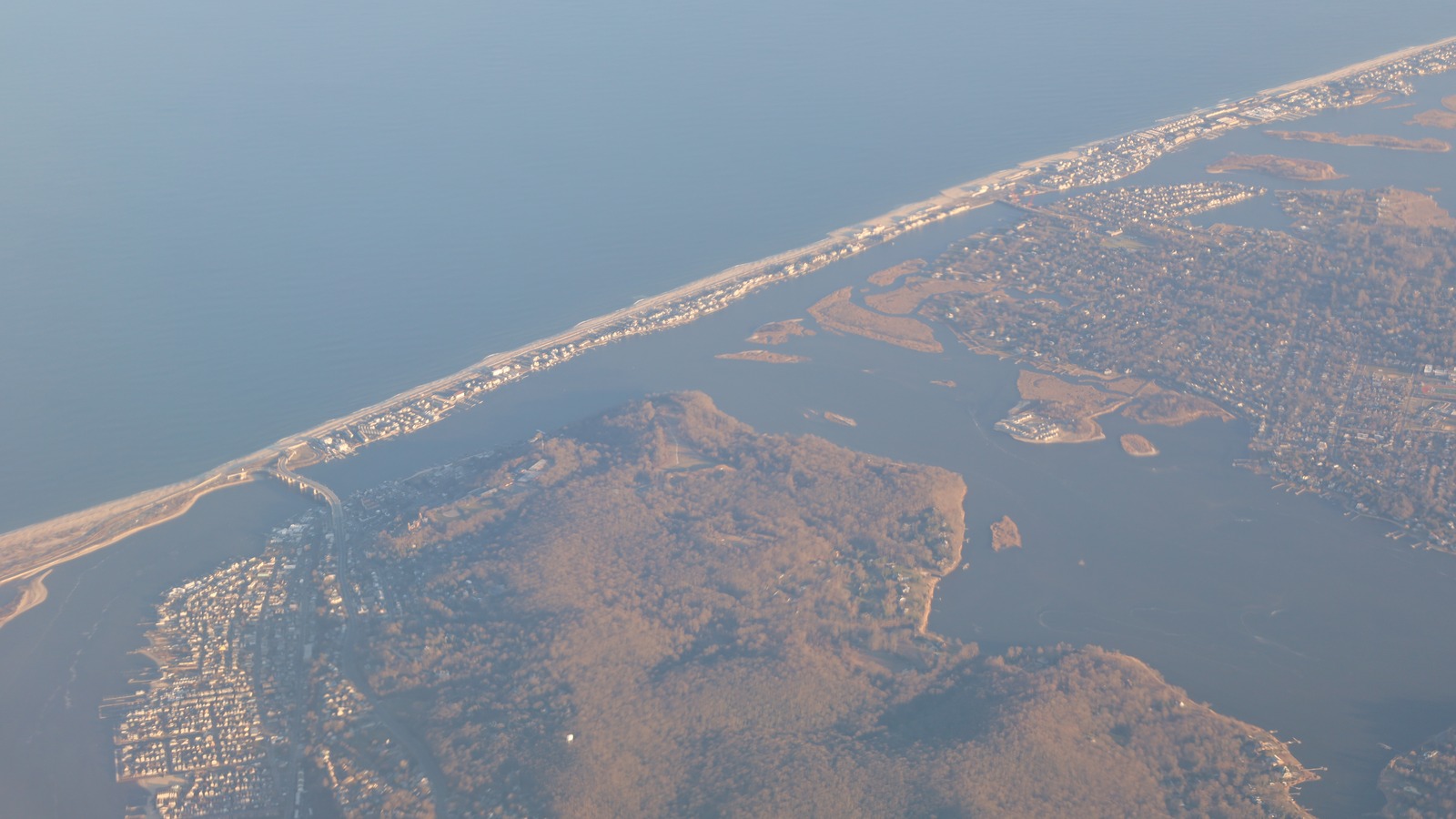
Travelers with Jersey Shore, New York City area or southern New England plans through Sunday should move coastal drives away from high tide, rebook island ferries and check flight status before leaving for the airport. Readers weighing a shore park visit can compare this road flooding with the Island Beach State Park closure through September 27, which covers a nearby stretch of the same Barnegat Peninsula coastline.
- Date of impact: Friday night, September 25, through Sunday, September 27.
- Where: Coastal New Jersey, including Surf City, Manasquan and Sea Bright.
- What changed: Observed street flooding and inundated homes.
- Traveler action: Avoid coastal roads near high tide.
Coastal New Jersey Streets Take Water Friday Night
In Surf City, on Long Beach Island, water with waves rippling across its surface covered streets and entered some homes Friday night, the Associated Press reported September 26. About 34 miles up the coast in Manasquan, several roads were also flooding, and Mayor Mike Mangan said he expected a lot of water in the streets for a long time. A voluntary evacuation had been issued earlier for some low lying areas of Manasquan.
Sea Bright, a small beach borough on the Monmouth County shore, braced for winds to 50 mph and street flooding to 6 feet in low spots. Mayor Brian Kelly said officials expected flooding to start Saturday and worsen by midday, describing the possible outcome as closer to an Irene scale event than a routine tidal flood. Kelly urged hundreds of residents in low lying areas to consider leaving, and said the borough would open its recreation center for evacuees.
The National Weather Service warned of dangerous flooding along the Mid Atlantic coast, particularly near New Jersey and Delaware, as tens of millions of people fell into the path of a storm already lashing the region with strong winds and rain.
Forecasters noted that a full moon would worsen tidal flooding, a factor the Weather Channel forecast September 26 also highlighted for the multi day event stretching from North Carolina to New England.
What Changes Saturday to Sunday
Saturday brings the highest water risk for many Jersey Shore streets, with midday high tide forecast as the peak in several towns. Sea Bright officials pointed to Saturday into midday as the worst window, while Manasquan officials warned that water could sit in streets for an extended period rather than draining between tides. Travelers should treat Saturday morning through Sunday as a continuous coastal flood window, not a single high tide event.
Wind adds a second layer of disruption. National Weather Service meteorologist Matthew Belk, based in Norton, Massachusetts, said peak gusts could reach 60 to 65 mph on Cape Cod, Martha Vineyard and Nantucket on Friday night and Saturday, with 50 to 55 mph around Boston and 35 to 40 mph farther inland. Along the Atlantic coasts of New Jersey and Delaware, gusts could reach 60 mph, with nearly as strong winds in southeastern Connecticut and eastern Long Island. Because leaves remain on trees this early in fall, wind resistance rises, increasing the risk of downed limbs, debris in roads and power outages.
Rail travelers should read the storm rail notice alongside this road report, since the same system threatens Northeast Corridor schedules Saturday. Amtrak warned of September 26 cancellations tied to the noreaster in its Northeast Corridor disruption notice, a useful cross check for anyone choosing rail over a coastal drive.
Flights, Ferries and Weekend Events Absorb Cancellations
Air travel already showed strain Friday, with more than 200 flights to and from airports in Boston, Nantucket, Martha Vineyard and New York canceled, and additional Saturday cancellations in place. Several airlines offered to waive some change or cancellation fees for East Coast flights through the weekend. Travelers flying Saturday should confirm rebooking options in the airline app before heading to the airport, since waiver windows differ by carrier and ticket type.
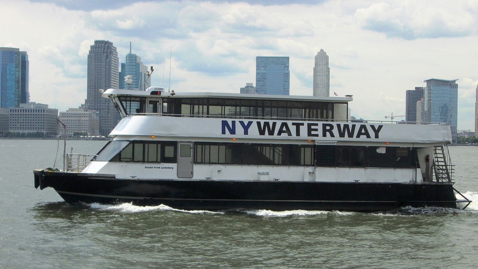
Ferry service took a direct hit. The Woods Hole, Martha Vineyard and Nantucket Steamship Authority reported widespread Friday cancellations on the Cape Cod to island routes because of strong winds and choppy water, with disruption expected to spill into Saturday. In Rhode Island, Block Island ferries were also canceled. Steamship Authority spokesperson Sean Driscoll said island travelers keep backup plans for canceled boats, calling the interruption a nuisance that regulars know how to handle, but visitors without flexible lodging should not count on same day crossings.
Large weekend gatherings adjusted as well. The Boston Red Sox moved their Sunday afternoon home game against the Chicago Cubs to Friday as part of a split doubleheader, while Ed Sheeran canceled Friday and Saturday shows at Gillette Stadium in Foxborough, Massachusetts. Concertgoers and ticket holders should use official team and venue channels for exchange or refund terms rather than traveling to the venue hoping for entry.
Wind and Power Risks Inland
Thousands of customers lost power Friday night across the East Coast, an early signal that gusts plus saturated ground can interrupt service well before the storm peak. Inland travelers face smaller flood risk but should still prepare for dark intersections, tree debris and slower emergency response on dark rural roads. Gloucester, Massachusetts offered a small preview Friday afternoon, when resident Ashley Destino walked the beach with two children before heading home to wait out the weekend with supplies, extra boat lines and a generator ready.
Drivers should never cross flooded roadways, since salt water hides pavement damage and stalls engines quickly. In Manasquan and Surf City, officials described standing water across local streets rather than a single closed intersection, which means navigation apps may route drivers into the next flooded block. When in doubt, turn around, park on high ground and wait for the next tide cycle plus official word that drains have cleared.
| If you… | What to do |
|---|---|
| Plan a Jersey Shore drive Saturday | Delay to Monday or use inland routes, and avoid Barnegat Peninsula roads near high tide September 26 to 27, while checking current warnings before travel. |
| Hold Nantucket, Martha Vineyard or Block Island ferry tickets | Confirm the operator’s next operating sailing before rebooking, and keep a flexible hotel night while disruptions continue. |
| Fly through Boston, New York or island airports | Check waiver terms now, accept an earlier or later flight, and arrive with extra buffer for rebooking lines. |
| Stay in a low lying shore rental | Follow voluntary evacuation guidance, move cars to high ground, and confirm the Sea Bright shelter or your town equivalent before nightfall. |
How to Adjust Shore and Island Plans
First, pin your decision to tide timing. Coastal flooding around the Jersey Shore peaks near high tide and stacks across cycles during a multi day noreaster, so a street that looks passable at low water can flood again hours later. Check the nearest tide station for Saturday and Sunday, add the National Weather Service coastal flood warning window, and keep cars, luggage and chargers above expected water levels.
Second, pick one backup for each leg. If the shore road floods, the backup is an inland highway or a delayed departure. If the ferry cancels, the backup is a later sailing plus a hotel night. If the flight cancels, the backup is the airline waiver rebooking accepted early. Travelers who set those backups Friday night avoid the Saturday morning scramble when hundreds of others rebook at once.
Current road conditions govern shore travel. Avoid unnecessary driving while coastal flood warnings or road closures remain active, and verify access before returning. Do not assume Sunday afternoon is a safe reopening window.
Saturday sailings are the next gate for island trips. With Friday and Saturday ferries widely canceled to Nantucket, Martha Vineyard and Block Island, hold island plans until operators confirm Sunday service.
Airline waiver windows are the third gate. With 200 plus Friday cancellations and more set for Saturday, accept a waiver rebooking early rather than risking a same day airport standby line.
Which New Jersey towns reported flooding Friday night?
Surf City reported flooded streets and some inundated homes, Manasquan reported several flooded roads with a voluntary evacuation in low lying areas, and Sea Bright braced for up to 6 feet of street flooding starting Saturday.
How long will noreaster coastal flooding last?
The New Jersey governor’s September 25 statement expects the most severe impacts in the eight declared counties from Friday night through Sunday, September 27. That forecast window does not guarantee that any road reopens on Sunday; check current warnings and road conditions before traveling.
Are flights and ferries running Saturday?
More than 200 flights were canceled Friday across Boston, Nantucket, Martha Vineyard and New York airports with more Saturday cancellations set, while Cape Cod island and Block Island ferries saw widespread Friday cancellations spilling into Saturday.
Should I still visit Island Beach State Park this weekend?
No. Use the separate Island Beach State Park closure through September 27 for that peninsula decision, and keep this report for the surrounding Surf City, Manasquan and Sea Bright road network.