Kanlaon Volcano recorded a two-minute moderately explosive eruption on October 10, confirmed in the PHIVOLCS activity bulletin dated October 11, 2026. Official monitoring lists Alert Level 2, while entry into the permanent danger zone within 4 kilometers of the summit remains prohibited.
Light ashfall has now been reported in parts of western Negros, while Canlaon City reported none in a Sunday morning update. Stay outside the danger zone and check the particular stop and approach road on your itinerary; the reports do not establish an island-wide closure or airport shutdown.
- Event: PHIVOLCS reports a two-minute moderately explosive eruption on October 10.
- Local impact: Sunday reporting confirms light ashfall in parts of Negros Occidental, not every town.
- Alert: PHIVOLCS’s monitoring page lists Kanlaon at Alert Level 2.
- Danger zone: The permanent 4-kilometer zone remains prohibited; the bulletin does not describe a new expansion.
- Flights: Aircraft should avoid the summit area; the notice is not a blanket regional flight cancellation.
What PHIVOLCS Confirmed About the October 10 Eruption
The PHIVOLCS 24-hour activity bulletin, published October 11, covers 00:00 October 10 to 00:00 October 11 Philippine time.
It reports one two-minute moderately explosive eruption. Bombo Radyo Bacolod’s separate interview with resident volcanologist Daryl Aro puts the event at 12:46 to 12:48 p.m. October 10; the timing describes that observed eruption, not a forecast that it continues.
The bulletin describes a plume rising 6,000 meters, strong degassing and drift southwest and north-northeast during the reporting window. That is not an ashfall map for every town or an operating-status report for a road or visitor site.
The separate PHIVOLCS volcano monitoring page lists Alert Level 2 as of October 10. Use that for the stated alert, and the dated bulletin for the prior day’s observations; neither is an operating-status notice for every destination on Negros.
The Four-Kilometer Danger Zone Remains the Main Visitor Boundary
PHIVOLCS maintains a permanent danger zone, or PDZ, within 4 kilometers of the summit. The October 11 bulletin does not describe an expanded radius after the eruption, so the existing boundary remains the direct access restriction rather than a newly announced wider ban.
Anyone planning a climb, summit visit or other approach that would enter the PDZ should not go into the restricted area. A tour listing, older map or unobstructed view does not cancel the restriction; follow current PHIVOLCS instructions and any specific local closure notice.
The 4-kilometer restriction does not declare all of Negros closed or prove that places beyond it are operating. The cited bulletin announces no island-wide evacuation, road closure or blanket shutdown for distant destinations.
Sunday Reports Put Light Ashfall in Specific Western Areas
In a Sunday morning Bombo Radyo interview, PHIVOLCS director Teresito Bacolcol confirmed light ashfall in Guintubdan, Barangay Ara-al in La Carlota City, Salvador Benedicto and parts of La Castellana. He also described ash emission after the two-minute eruption, running from 12:49 to 3:30 p.m. October 10.
A separate interview with Salvador Benedicto’s disaster office head confirmed light ashfall and a sulfur smell, with no evacuees reported there. That local account supports checking exposure at a named destination, not declaring all of Negros under the same conditions.
Conversely, Canlaon City’s public information officer reported no ashfall or evacuation in the October 11 morning update. Authorities were monitoring possible rain and lahar hazards; a current report of normal city conditions does not grant access to the volcano’s prohibited zone.
Check the Exact Stop, Road or Flight on Your Itinerary
Start with the place you actually plan to visit. If an excursion would enter the PDZ, stay outside the restricted area and ask the provider about a current alternative that complies with PHIVOLCS instructions; an old itinerary or social post cannot establish that access is permitted now.
For lodging, restaurants, coastal stops or other sites elsewhere on Negros, ask the operator or relevant local authority whether that named place and its approach road are open on your travel date. The volcano bulletin reports monitoring conditions, not the operating status of each independent business or road segment.
For a flight, check the airline and airport for the actual departure and any route notice. PHIVOLCS’s instruction to keep aircraft away from the summit is not an airport closure or a carrier waiver; the sources do not announce blanket cancellations or replacement flights.
| If your plan… | What to do |
|---|---|
| Enters the 4-kilometer danger zone | Do not enter the PDZ; follow current PHIVOLCS instructions and local restrictions. |
| Includes another Negros destination | Confirm that named site’s status and access road with its operator or local authority. |
| Uses a road near Kanlaon | Check a current, route-specific notice for your travel date before departure. |
| Includes a flight to or from the region | Check your airline and airport; do not infer blanket cancellations from the summit warning. |
Keep the permanent danger zone clear. The 4-kilometer restriction remains the direct traveler boundary around Kanlaon.
Verify each part of a wider itinerary separately. The bulletin does not tell travelers whether a particular town, road, accommodation or airport is open.
Watch local rain and access notices. PHIVOLCS warned that rain could create lahar hazards near affected river channels; this is a potential risk, not confirmation that a particular road has closed.
Did Kanlaon erupt on October 10?
Yes. The October 11 PHIVOLCS bulletin confirms one two-minute moderately explosive eruption. Bombo Radyo’s volcanologist interview gives the 12:46 to 12:48 p.m. local timing.
Is the 4-kilometer danger zone new?
No new expansion is described in the October 11 bulletin. Entry into the permanent 4-kilometer danger zone remains prohibited.
Are all Negros roads and flights closed?
The cited sources do not say that. They maintain the PDZ and warn aircraft away from the summit, but do not announce island-wide road or airport closures.
Which places reported ashfall?
Sunday reporting identifies light ashfall in Guintubdan in La Carlota City, Salvador Benedicto and parts of La Castellana. Canlaon City reported none in its morning update.
Image Credits
- Lead Photo
Jmevangelist · CC BY-SA 4.0 · edited
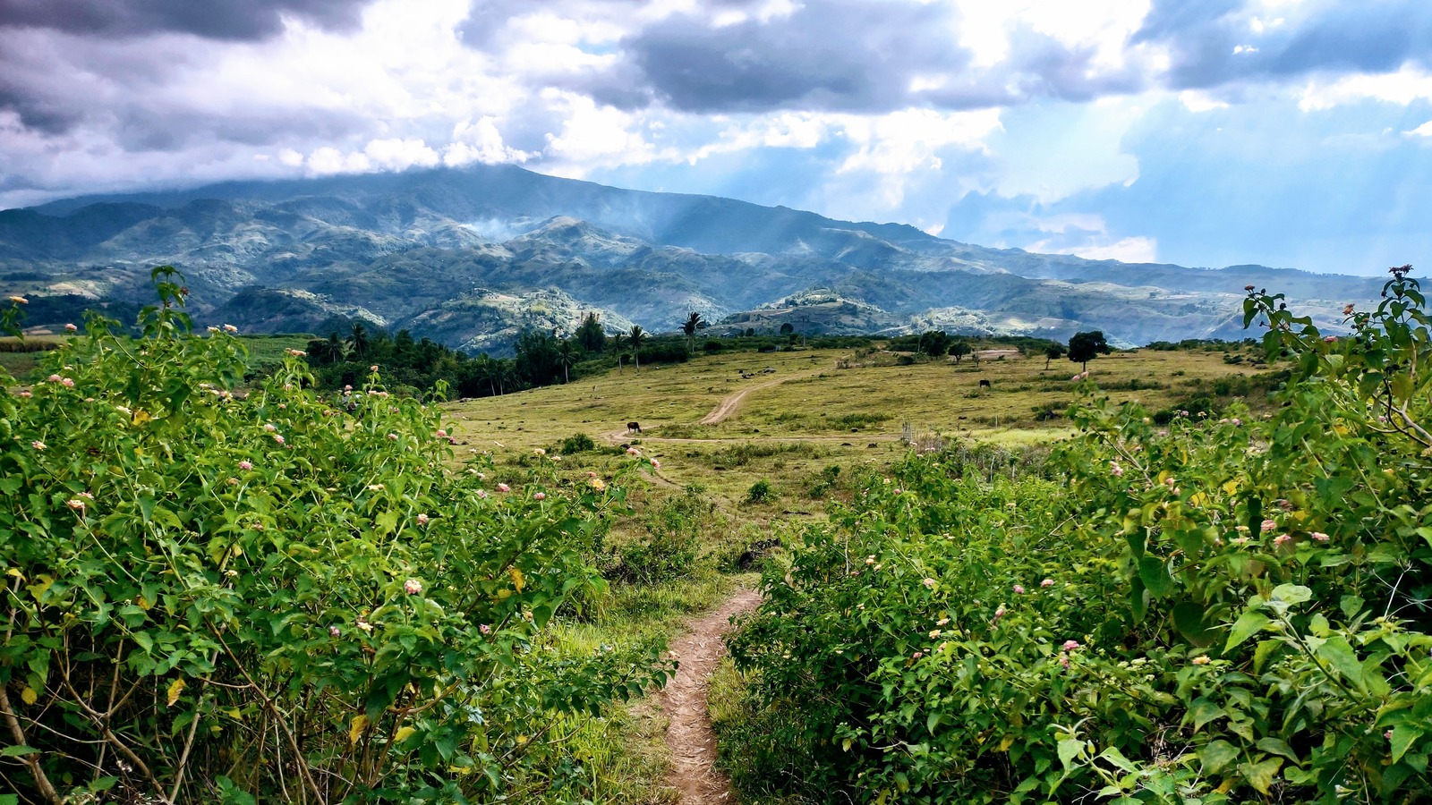
File photo: the view toward Kanlaon from Don Salvador Benedicto on March 23, 2023, not the October 10, 2026 eruption.