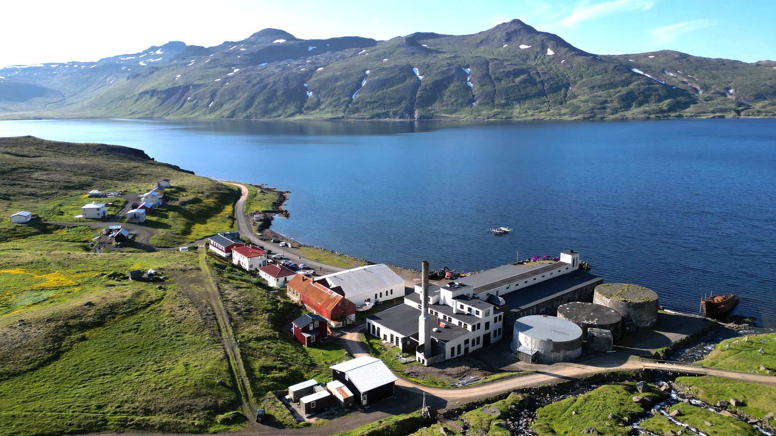
Johnnyxmas · CC BY-SA 4.0 · cropped
Heavy rain has raised the risk of landslides and rockfall across Iceland’s Westfjords and the Strandir coast, and a large landslide at Kaldbaksvík closed the road into Árneshreppur on Friday, September 26, 2026. The Icelandic Met Office has yellow landslide warnings in place for the northern Westfjords, Strandir and western Húnaflói, and local authorities said travel into or out of Árneshreppur was not considered safe while the rain continued.
If you are driving in northwest Iceland this week, check road status before every leg and be ready to change plans. Strandir and Árneshreppur, home to Djúpavík and Norðurfjörður, sit at the end of a single road, so a closure can cut off the area entirely. Use the Icelandic Road and Coastal Administration’s live road map and the Met Office’s landslide warnings before you set off.
If you are still planning your route, our guide to things to do in Iceland covers regions that are easier to reach in autumn.
- Closed: road into Árneshreppur, after a landslide at Kaldbaksvík on September 26.
- Warnings: yellow landslide warnings for the northern Westfjords, Strandir and western Húnaflói.
- Rainfall: more than 100 mm in Ísafjörður and Gjögur, and more than 120 mm in Suðureyri.
- Risk: greatest on lower slopes where precipitation fell as rain.
- Check: umferdin.is and the Met Office before driving.
Strandir Road Closure After the Kaldbaksvík Landslide
Iceland Review reported that a large landslide at Kaldbaksvík on Strandir closed the road into Árneshreppur on Friday, September 26, after days of heavy rain saturated the ground. No reopening time was given, and local authorities said the route may at first be passable only by four wheel drive vehicles once it is cleared.
In a follow up report on September 27, Iceland Review said the Strandir road between Bjarnarfjörður and Djúpavík was closed and that several rockfalls had reached roads across the region. It reported rainfall of more than 120 millimeters in Suðureyri and more than 100 millimeters in Ísafjörður and Gjögur.
Met Office Landslide Warnings
The Icelandic Met Office launched new landslide warning pages on September 24 and issued yellow warnings for six areas because of heavy precipitation, including the northern Westfjords, Strandir and western Húnaflói. The warnings use the same color system as weather alerts, and the Met Office notes that landslide hazard can be very localized within a warning area. The new pages divide Iceland into 15 landslide zones and include a weekly overview of landslide risk alongside updates from monitoring staff.
According to Iceland Review, the Met Office said the danger is greatest on lower slopes where precipitation has fallen as rain rather than snow, while snow has settled higher up. The Met Office has also reported sharp rises in streams and rivers in the region, with further rises expected.
| If you… | What to do |
|---|---|
| Plan to visit Djúpavík or Norðurfjörður | Postpone until the road reopens. |
| Drive in the Westfjords this week | Check umferdin.is before each leg. |
| See rocks or mud on the road | Stop, turn back and recheck the road map. |
| Have a small rental car | Avoid routes that may need four wheel drive. |
How to Drive the Westfjords Safely This Week
Many Westfjords roads run along steep hillsides and fjords with no alternative route, so a single landslide can mean a long detour or no way through. Build extra time into each day, keep fuel topped up, and do not plan tight connections, such as a ferry or a flight from Ísafjörður, around a drive through an area under a warning.
Avoid stopping under steep, wet slopes, and watch for fresh debris, running water across the road and cracks in the road surface. Conditions can change quickly, and roads that were open in the morning may close later in the day. If you are staying in a remote guesthouse, ask your host about local road conditions before you leave. Tell someone your route and expected arrival time, and keep your phone charged, since mobile coverage can be patchy on the more remote stretches of Strandir.
Other Iceland Road Updates
Road work has also affected the south coast, as we reported in our story on the overnight Ring Road closure at Jökulsárlón. For longer term planning, see our story on Iceland’s proposed nature pass for major sights.
Road closed. Árneshreppur cut off after the Kaldbaksvík landslide.
Yellow warnings. Northern Westfjords, Strandir and western Húnaflói.
Check first. Road status can change within hours.
Is the road to Djúpavík open?
Iceland Review reported on September 27 that the Strandir road between Bjarnarfjörður and Djúpavík was closed. Check umferdin.is for the latest status.
Where are Iceland’s landslide warnings in place?
The Met Office has yellow warnings for areas including the northern Westfjords, Strandir and western Húnaflói.
Where can I check Iceland road conditions?
On umferdin.is, the Icelandic Road and Coastal Administration’s live road map.
Where are Iceland’s landslide warnings published?
On the Icelandic Met Office’s landslide warning pages at gottvedur.is.