Diego Delso · CC BY-SA 4.0 · cropped
Update, September 26, 2026, 2:00 PM MST: National Hurricane Center Advisory 25 places Polo at Category 4 with maximum sustained winds near 145 mph and a hurricane watch from Punta Eugenia to Santa Fe. The forecast brings the hurricane toward western Baja California Sur on Monday, across the peninsula Monday night and toward northwestern mainland Mexico early Tuesday.
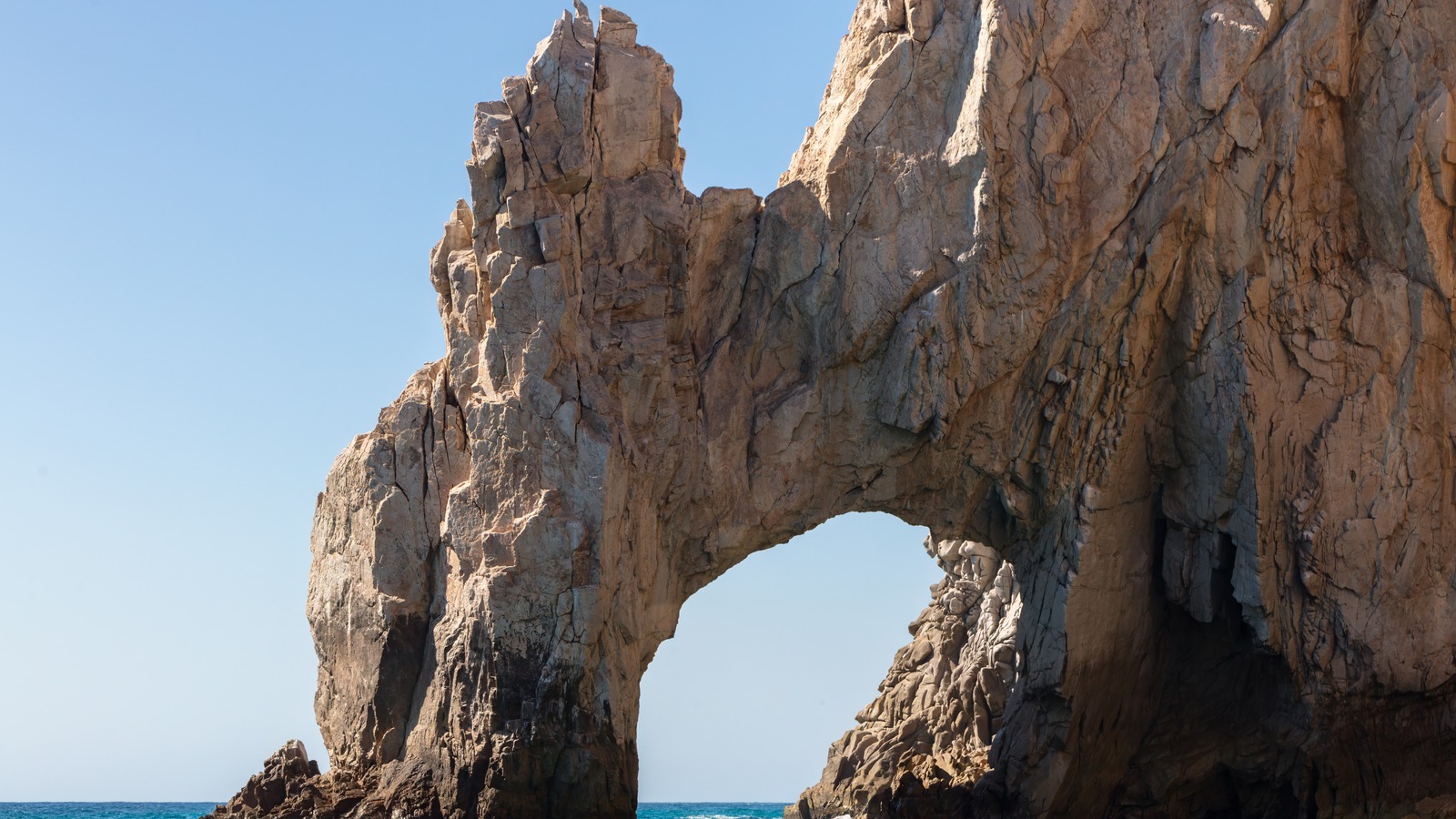
If you hold a Baja, Cabo, or southern Sonora booking for the coming days, this forecast changes whether you fly, board a cruise tender, enter the water, or drive. Cruise travelers should review Cabo San Lucas cruise port tender and day plan guidance now, because heavy surf and itinerary changes are already part of this storm story.
- Storm status September 26, 2 PM MST: Category 4, 145 mph maximum sustained winds, per NHC Advisory 25.
- Position September 26, 2 PM MST: About 335 miles south-southwest of Cabo San Lucas, moving northwest at 10 mph.
- Baja watch: Hurricane watch from Punta Eugenia to Santa Fe; tropical-storm conditions possible Sunday night and hurricane conditions possible Monday afternoon.
- Rainfall risk: The NHC forecasts 4 to 8 inches, locally 10 inches, across parts of Baja California Sur, with dangerous flooding and mudslide potential.
Polo’s Current Position and Forecast Track
The September 26 afternoon advisory puts Polo near 18.7N 112.5W. It forecasts northward motion Sunday, a northeast turn Monday and an approach to western Baja California Sur before crossing the peninsula Monday night; the exact crossing point is not a confirmed landfall location.
Maximum sustained winds are near 145 mph and central pressure is estimated at 938 millibars. Hurricane-force winds extend about 40 miles from the center and tropical-storm-force winds about 125 miles, according to Advisory 25.
The Guardian’s September 25 weather analysis adds context: an 892-millibar reading on September 22 made Polo the second-most intense hurricane on record in the east Pacific, fueled by exceptionally warm Pacific waters. That analysis also notes cleanup underway at Playa Azul in Lazaro Cardenas in Michoacan state after Polo’s Thursday effects there.
A hurricane watch now covers Punta Eugenia to Santa Fe. Advisory 25 says east-coast Baja watches are likely later Saturday, with northwestern mainland Mexico watches possible that night or early Sunday; these are potential extensions, not issued warnings in that advisory.
Baja California Sur Faces Dangerous Surf From Saturday
The clearest traveler warning comes from the September 24 United States Embassy weather alert for the Baja Peninsula and Sonora, which expects Polo to approach the peninsula over two days while holding Category 4 or Category 3 strength potentially through Sunday, September 27. Dangerous winds and ocean conditions, including rip currents and rogue waves along the Pacific coast from Cabo San Lucas to Guerrero Negro, should be anticipated as early as Saturday morning, and the alert tells travelers to avoid entering the water or walking on beaches.
The latest NHC advisory says swells are likely to spread toward Baja California Sur through the weekend, creating dangerous surf and rip currents. Follow beach closures and local instructions even before any center approach.
Advisory 25 forecasts gradual weakening but still expects a strong hurricane approaching Baja California Sur Monday. Follow the issued watch boundaries and local instructions rather than treating the earlier embassy scenario or a possible track point as a guaranteed outcome.
Sonora and Sinaloa Effects Late Monday Into Tuesday
The storm does not stop at the peninsula. The embassy alert projects effects on northern coastal Sinaloa and on Sonora between Ciudad Obregon and Guaymas up to Hermosillo from late Monday, September 28, through Tuesday, September 29. Highway 15, underpasses, and bridges may be affected, with flooding in urban and semi-urban areas, so drivers should check road conditions before traveling and avoid flooded underpasses.
Roads will suffer the compound effect of steep-terrain mudslides and urban flooding, especially where drainage is poor. The embassy advises monitoring local media, following directions from local officials, keeping friends and family advised of your whereabouts, and holding evacuation plans that do not rely on United States government assistance. In an emergency in Mexico, the number to call is 911.
For mainland beach states, the hurricane center expects additional rainfall totals of 2 to 4 inches across coastal Michoacan, Colima, northern and southern Jalisco, and Nayarit, which may produce life-threatening flooding and mudslides in steep terrain, plus 1 to 2 inches in coastal central Jalisco and Guerrero. Wind gusts to tropical-storm force remain possible along portions of the southwestern Mexico coast for the next few hours from advisory time. Travelers already on the ground there should finish essential movement early and then stay put during the heaviest bands.
Flights, Cruises and Beach Plans Under Pressure
Flights could be impacted across the affected regions, and the embassy alert directs travelers to check with airlines for updates rather than assuming schedules hold. Rebooking flexibility matters most for arrivals scheduled Sunday through Tuesday into Los Cabos, La Paz, Loreto, Hermosillo, and connecting mainland airports. If your fare rules allow a free date change, moving arrival to midweek or later costs less than a last-minute airport scramble.
Cruise travelers face a parallel decision. A just-published Navigator of the Seas change replacing Cabo San Lucas with Mazatlan shows how quickly Polo reshuffles port calls, and Baja-bound sailings around the weekend may see further tender cancellations or port substitutions. Contact the cruise line before heading to the pier, pack patience for tender ports, and keep excursion bookings refundable while the forecast cone still covers the peninsula.
Beach and boating plans carry the bluntest guidance: stay out of the water and off exposed beaches once surf builds, since rogue waves and rip currents can strike before the center arrives. Hotels may restrict pool and beach access, marinas may suspend departures, and whalewatching or dive boats will cancel rather than run in dangerous seas. A delayed excursion beats a dangerous one, and the storm’s forecast Monday approach gives travelers a defined window to work around instead of an open-ended threat.
| If you… | What to do |
|---|---|
| Arrive in Baja California Sur September 27 to 29 | Ask your airline about date changes now and confirm lodging backup power before Sunday. |
| Hold a Cabo cruise stop this weekend | Check with the cruise line for tender or port changes and keep excursions refundable. |
| Plan beach or boating days from Saturday on | Stay out of the water and off exposed beaches per the September 24 embassy alert. |
| Drive Highway 15 or Sonora roads September 28 to 29 | Check road conditions first and never cross flooded underpasses or bridges. |
Saturday, September 26 is the surf-risk window. Avoid exposed beaches and the water as dangerous conditions develop; follow local beach closures and official instructions rather than trying to finish water activities ahead of the center.
Monday, September 28 is a forecast approach window. The NHC expects Polo to turn toward Baja California Sur early next week but has not confirmed a landfall point or strength. Follow each new advisory and local emergency instructions.
Tuesday, September 29 remains a mainland forecast-risk day. Advisory 25 forecasts an approach to northwestern mainland Mexico early Tuesday; confirm local road, flight and port conditions rather than assuming recovery has begun.
Will Hurricane Polo hit Cabo San Lucas directly?
NHC Advisory 25 forecasts an approach to western Baja California Sur Monday and a crossing Monday night. It does not confirm a direct Cabo San Lucas strike; dangerous surf and rain can affect areas away from the center.
Should I cancel a Baja trip scheduled for this weekend?
Do not travel into the surf and rainfall window without flexible bookings. If you can shift arrival past September 29 at low cost, do it; if you must go, confirm flights, lodging power backup, and road conditions first.
Are Cabo cruise port calls still happening?
Some calls are already changing, as the Navigator of the Seas Mazatlan substitution shows. Expect possible tender cancellations or port swaps on Baja itineraries and confirm details with your cruise line before sailing.
How strong is Hurricane Polo right now?
At 2:00 PM MST September 26, the NHC rated Polo Category 4 with maximum sustained winds near 145 mph. Wind strength and track can change before it approaches Baja California Sur.