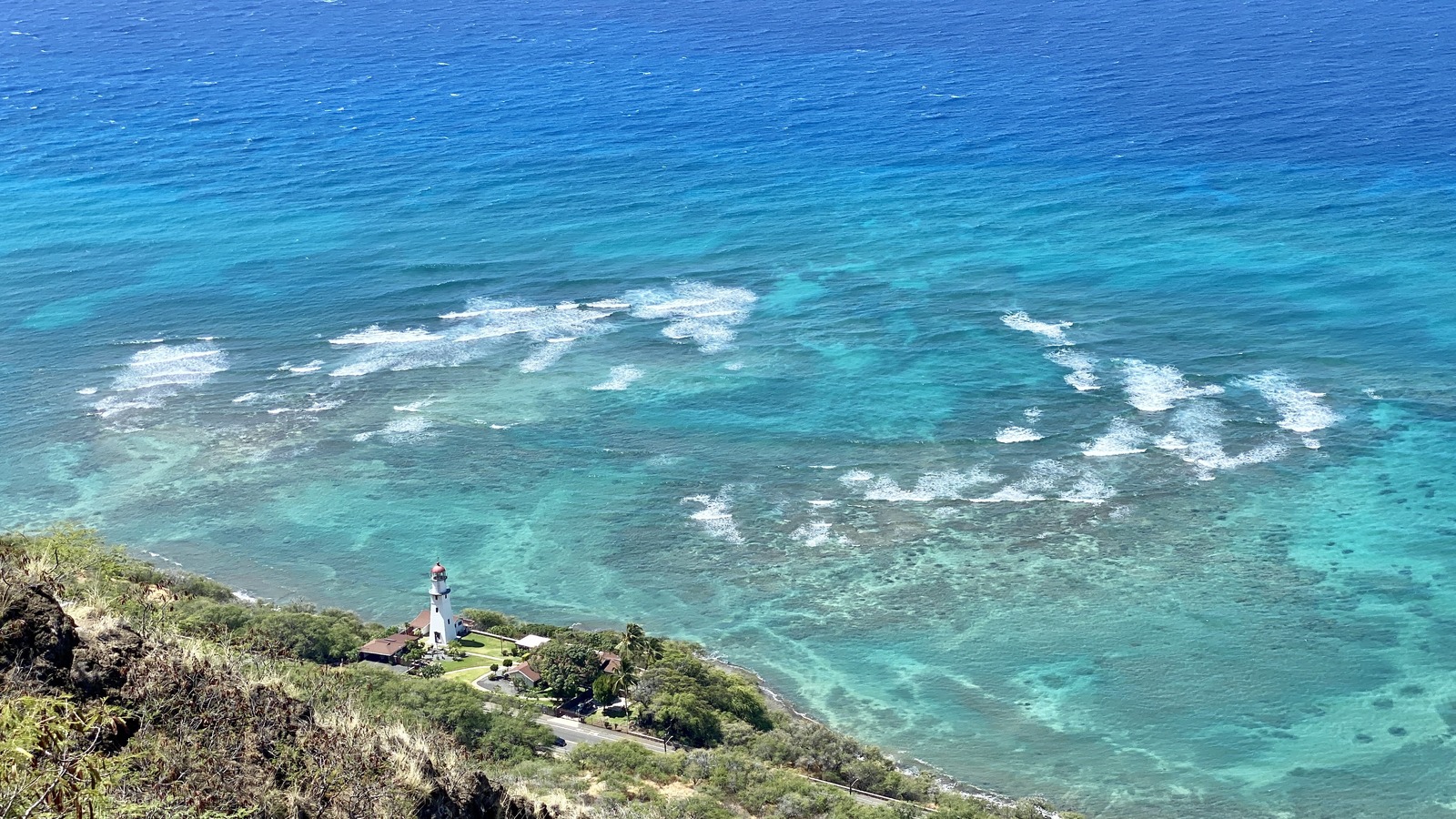
View from Diamond Head Crater, Diamond Head, Honolulu, HI · Warren LeMay · CC BY-SA 2.0 · cropped
Update, September 25, 2026, 11:00 AM HST: The system once called former Tropical Depression Fifteen-E is now Hurricane Nolo. The Central Pacific Hurricane Center’s Advisory 21 puts maximum sustained winds near 105 mph and places the center about 175 miles south of South Point, Hawaii. Hawaii County has a tropical storm warning and a hurricane watch; Maui County has a tropical storm watch. The old forecast about a possible new depression has been overtaken by an active hurricane and official alerts.
Nolo’s center is forecast to remain south of the main Hawaiian Islands and turn west this weekend. That track does not remove the island hazard. The hurricane center expects tropical storm conditions to begin in Hawaii County tonight, with hurricane conditions possible early Saturday, especially in steep terrain. It also warns of potentially catastrophic flooding and mudslides on parts of the Big Island and serious rain impacts on Maui.
- Current system: Hurricane Nolo, formerly TD Fifteen-E, Category 2 with 105 mph winds at 11 AM HST Friday.
- Center: About 175 miles south of South Point, moving north-northeast near 5 mph.
- Hawaii County: Tropical storm warning and hurricane watch.
- Maui County: Tropical storm watch.
- Immediate concern: Dangerous rain and flooding, strong wind and large waves, even while the center stays offshore.
The forecast changed from development risk to an active hurricane
The September 21 outlook discussed whether the remnant low might reform. The NHC and Central Pacific Hurricane Center resumed numbered advisories on the system after it regained a defined circulation. It kept the Fifteen-E designation, then strengthened and received the name Nolo. The original planning question was whether late-week rain might affect travel. The decision now is how to respond to county alerts and a near-term hazard forecast.
Advisory 21 locates the center near 16.5 degrees north, 155.4 degrees west. It forecasts a slow north-northeast movement through Friday night, then a westward turn Saturday and Sunday. The center is expected to stay well south of the islands, but tropical-storm-force winds extend about 140 miles from the center. Local terrain and rain bands can produce hazards beyond that simple center line.
The forecast discussion says the hurricane could strengthen into a major hurricane during the weekend. That is a forecast, not its current category. Conditions and watches can change with each advisory. Use the current warning for your county and the local emergency management instructions for any shelter or evacuation decision.
Big Island rain and wind are the first travel gate
For eastern and southern Hawaii Island, the hurricane center forecasts 10 to 15 inches of rain, with local amounts up to 25 inches. It warns that this could cause catastrophic, life-threatening floods and mudslides, especially on steep slopes. Western parts of the island have a lower but still serious forecast of 2 to 4 inches, locally up to 8 inches. Those ranges are forecasts; an individual hotel, road or trail may see different conditions.
The tropical storm warning means those conditions are expected somewhere in Hawaii County within the warning period. The hurricane watch means hurricane conditions are possible, particularly in steep terrain, by early Saturday. That combination is a reason to finish practical preparations now: charge devices, keep required medicines accessible, locate an indoor safe place and know an alternate route. Follow an evacuation instruction immediately if local officials issue one.
Do not drive across a flooded road or assume a bridge or underpass is passable because another vehicle made it through. Check county road and emergency updates before moving between a hotel, airport, trailhead or cruise pier. An itinerary change is a booking decision for the airline or operator, but a safety order from local authorities takes priority.
Maui and other islands have different exposure
Maui County is under a tropical storm watch, meaning those conditions are possible. The hurricane center forecasts 4 to 6 inches of rain across Maui, with local amounts up to 10 inches and possible life-threatening flooding and mudslides in high terrain. Across the remaining Hawaiian Islands, it forecasts 1 to 3 inches, isolated totals up to 5 inches, and isolated flooding.
These county differences matter when deciding whether to change a trip. A traveler on Hawaii Island faces a warning and the highest rainfall forecast. A traveler on Maui faces a watch and a significant rain forecast. Someone on Oahu or Kauai should continue to monitor local forecasts but should not read the Big Island rainfall maximum as a forecast for their own hotel.
Airline and airport status can change as conditions develop. Check your airline’s flight number directly before leaving for the airport. Preserve any change notice and receipts if the carrier delays or cancels a trip. For a resort, boat tour or activity booking, contact the operator about the specific date and location rather than treating a regional headline as a universal closure.
Coastal water and outdoor plans
The advisory warns of dangerous swells and waves. It also forecasts 1 to 3 feet of surge above ground somewhere along exposed Hawaii County coast if peak surge coincides with high tide. That number is not a promise of a uniform water level along every shore; exposure varies by location and timing. Follow local beach, harbor and coastal road closures.
Water activities, shoreline photography and cliffside viewpoints deserve particular caution because swell can arrive before the worst weather at a hotel. Avoid entering closed beaches or trails. Rain on high terrain can also turn a downstream stream crossing dangerous even when it is not raining heavily where you stand. Check park and county notices before hiking.
| If you… | Do this |
|---|---|
| Are on Hawaii Island Friday or Saturday | Follow the tropical storm warning and hurricane watch, finish preparations and obey local instructions. |
| Are on Maui | Track the tropical storm watch, heavy rain and any local flood or road alert. |
| Fly to or from an affected island | Check the operating airline for your flight before departing for the airport. |
| Have a beach, boat or hiking plan | Check local closures and avoid surf, floodwater and exposed trails. |
| Are elsewhere in Hawaii | Use the forecast for your island; the highest rain totals apply to eastern and southern Hawaii Island. |
What to watch next
The next NHC advisory may revise Nolo’s position, strength, track and watches. Read the time stamp in Hawaii Standard Time so an older post does not replace a newer forecast. The county warning and watch are more actionable than a generic statement that a storm is “near Hawaii.” Check the National Weather Service local office and county emergency management for flood, road and evacuation decisions.
The center staying offshore is still the current forecast. It does not settle the rain, surf and wind exposure on land. That is why this update separates the center track from the hazard forecast and uses the official advisory rather than a projected landfall claim.
Is former TD Fifteen-E still just a development chance?
No. It became Hurricane Nolo. Advisory 21 rated it a Category 2 hurricane with 105 mph sustained winds on September 25.
Is there a hurricane warning for Hawaii?
Advisory 21 lists a hurricane watch and a tropical storm warning for Hawaii County. Maui County has a tropical storm watch. Check the latest advisory for changes.
Will the center cross the Big Island?
The September 25 forecast keeps Nolo’s center well south of the main islands. Dangerous rain, wind and waves remain possible on land.
Should I cancel my flight now?
Check the operating airline’s current status and any waiver for your flight, and follow local safety instructions. A watch or warning does not itself confirm a flight cancellation.