Wildfire smoke is affecting air quality inside Glacier National Park, and the park is telling visitors to reconsider how hard and how long they exercise outdoors. The National Park Service current conditions page carries an active smoke caution tied to regional wildfires.
The warning does not announce a parkwide closure. Travelers choosing a base with Deep Arrival’s Glacier lodging guide should keep their reservation decisions separate from the daily air decision, then check conditions before committing to a long trail or scenic drive.
- Current issue: NPS says smoke from regional wildfires is affecting park air quality.
- Official advice: Monitor air and smoke forecasts, consider each traveler’s sensitivity and adjust outdoor activity.
- Park status: The smoke alert does not itself close Glacier National Park.
- Fastest check: Review the AirNow Fire and Smoke Map and Glacier webcams before leaving lodging.
- Best backup: Replace a long, strenuous hike with a shorter outing or indoor historic stop if conditions worsen.
The Alert Changes Effort, Not the Park’s Open Status
The active NPS alert says regional wildfire smoke is affecting air quality in Glacier. It gives visitors three jobs: monitor air quality and smoke forecasts, assess the sensitivity of everyone in the group, and change outdoor activities when needed. It does not identify one park fire as the sole source.
That distinction matters. Smoke can travel far from the fire producing it, and its concentration can change with wind and weather. A clear view at breakfast does not guarantee a clear trail at midday, while a smoky morning does not prove that every district will remain equally affected all day.
NPS has not paired this air caution with a general evacuation or full park closure. Visitors should not turn an air quality warning into a claim that every road, trail or hotel is closed. They should also avoid the opposite mistake of treating an open entrance as proof that a strenuous hike is sensible for every person.
Check Air Quality Before Committing to a Long Hike
AirNow’s wildfire smoke guidance says smoke levels can change substantially during the day. Its practical advice is to check current air quality, wait for better conditions when possible and choose lower intensity activity when smoke is present.
Use the map as a live decision tool, not as a permanent label for the whole trip. AirNow’s current hour calculation draws on several recent hours and responds more quickly when particle pollution changes rapidly. Recheck it near departure time and again before a second major activity.
A group’s most sensitive member should set the pace. NPS specifically tells visitors to assess their own sensitivity and that of the people traveling with them. Anyone with an individual health plan should follow that plan and professional advice rather than relying on a generic itinerary or another traveler’s tolerance.
AirNow also notes that cloth face coverings do not protect against wildfire smoke and that a well fitted N95 respirator can reduce exposure. A mask is not a reason to push through worsening symptoms or a hazardous reading. Shorter time outdoors, lower exertion and access to cleaner indoor air remain important parts of the decision.
Smoke Can Rewrite the Famous View Without Closing the Road
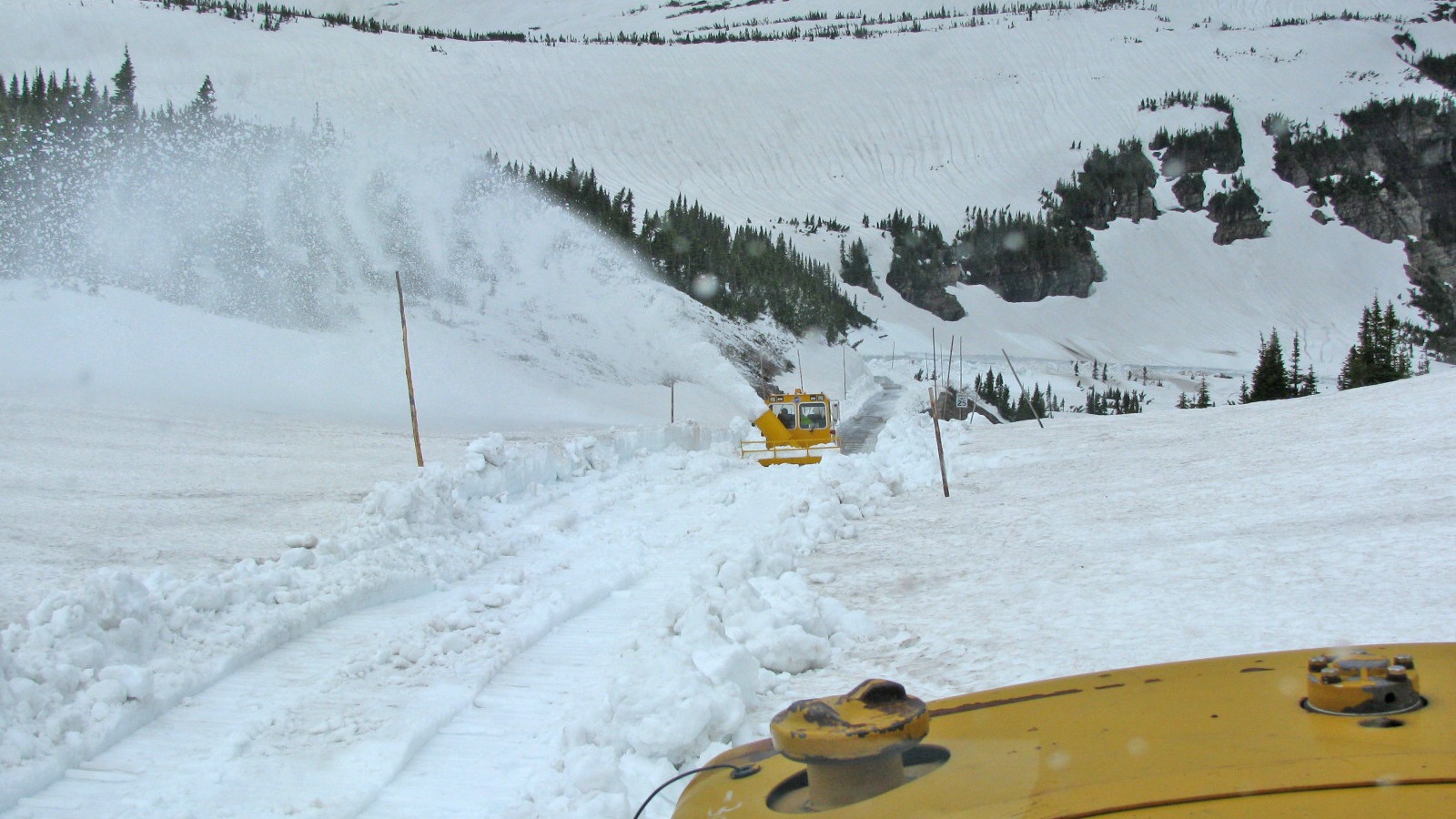
The current NPS alert separately lists Going to the Sun Road as fully open for the 2026 summer season. Deep Arrival’s earlier Going to the Sun Road opening report explains the seasonal access change, but the smoke warning adds a new daily visibility and exertion check.
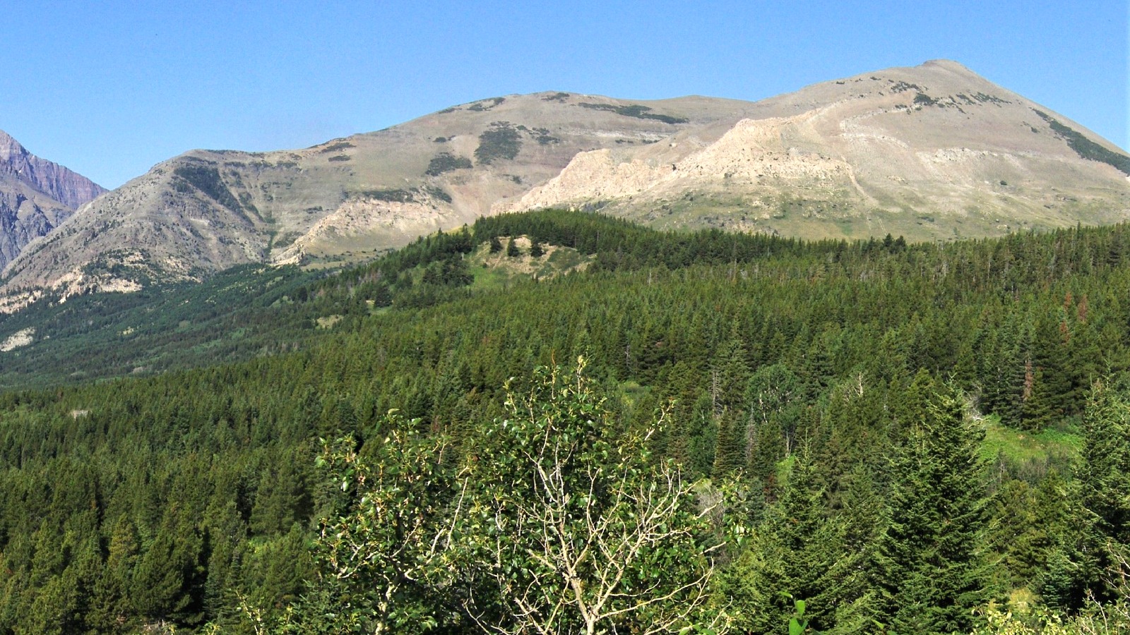
An open road can still deliver a very different experience when distant peaks disappear into haze. Glacier’s fire safety guidance says views on smoky days are often better just after sunrise than around midday, although it also warns that conditions vary widely. Check the park webcams rather than assuming that pattern will hold.
Drivers should keep road status and air quality in separate browser tabs. One answers whether a route is legally open; the other helps answer whether the day’s plan fits the group. Wildlife stops, construction and temporary traffic controls can still change travel times even when smoke causes no formal closure.
A Two Side Itinerary Needs More Than One Check
Glacier’s west and east entrances serve different districts, and moving between them is not a quick indoor escape. Deep Arrival’s Glacier National Park planner separates West Glacier and Lake McDonald logistics from St. Mary, Many Glacier and Two Medicine days.
Do not relocate across the park solely because one webcam looks clearer. Smoke can move while the long drive is underway, and the receiving district may have its own road, trail, wildlife or parking constraint. Compare several webcams, the Fire and Smoke Map and the official road page before making a cross park change.
The Montana Department of Environmental Quality smoke forecast page explains that forecasts combine monitoring, fire data, weather, satellite observations, models, webcams and sensors. The agency directs travelers to its Today’s Air display for the most current readings and says air quality can change quickly.
Save the decision before cell service fades. Screenshot the current park notice, map reading and chosen backup while connected, but treat those files as orientation rather than permanent clearance. Posted closures, ranger direction and newer conditions on the ground take priority.
Use a Lower Exertion Backup, Not a Guess
Glacier’s own smoke planning guidance suggests historic lodges, waterfalls and closer landscape details when haze erases the grand vistas. That is a useful starting point because it protects the day without pretending that every alternative has clean air. Confirm the stop is open and still reduce exertion when smoke remains present.
Build two versions of the day before leaving lodging. Plan A can contain the long hike or high overlook when readings, visibility and the group’s comfort support it. Plan B should have a shorter outdoor segment, easy access back to the vehicle and an indoor or low effort stop nearby.
Avoid anchoring the backup to photography alone. Smoke affects more than the mountain view, and a clear looking foreground does not measure particle pollution. Use the monitor data and official guidance even when a phone camera makes the scene appear acceptable.
The decision can change in either direction. Improving conditions may reopen a sensible outdoor window, while a deteriorating reading can justify turning around before the planned endpoint. The trip is more resilient when no reservation, photo target or mileage goal forces the group to ignore a current warning.
| If you see… | What to do |
|---|---|
| Improving readings and clear local visibility | Keep checking and use the plan that fits the most sensitive traveler. |
| Smoke increasing before a long hike | Delay, shorten the route or switch to the lower effort backup. |
| One clear webcam and one hazy district | Compare current road status, several cameras and monitor data before driving across the park. |
| An open road but poor air for your group | Treat access and health decisions separately; an open gate does not require proceeding. |
| Symptoms or worsening conditions outdoors | End the activity, move toward cleaner air and follow personal medical guidance. |
The NPS alert is the condition gate. Regional wildfire smoke is currently affecting Glacier air quality.
The latest reading is the activity gate. Check again close to the hike or drive, not only the night before.
The most sensitive traveler is the pace gate. Shorten or replace strenuous activity when the group needs cleaner air.
Is Glacier National Park closed because of wildfire smoke?
No parkwide closure is announced in the smoke alert. NPS says smoke is affecting air quality and tells visitors to monitor conditions and adjust activities.
Where can visitors check Glacier air quality?
Use the AirNow Fire and Smoke Map, Montana DEQ’s Today’s Air data and Glacier’s current conditions and webcam pages.
Is Going to the Sun Road open during the smoke alert?
The current 2026 NPS road alert lists it as fully open, but travelers must recheck road status because smoke, weather, construction or other incidents can change access.
Should hikers cancel a Glacier trip because of smoke?
The alert does not make that choice for every traveler. Check current readings, consider individual sensitivity and keep a shorter, lower effort plan ready.
Does a cloth mask protect against wildfire smoke?
AirNow says cloth masks do not protect against wildfire smoke. It says a properly fitted N95 respirator can provide protection, alongside reducing exposure.