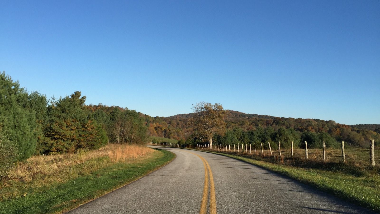
Image credit: Famartin via Wikimedia Commons. License: CC BY-SA 4.0 (https://creativecommons.org/licenses/by-sa/4.0/); author: Famartin; source page: https://commons.wikimedia.org/w/index.php?curid=58182216.
Fallen trees have closed 16.4 miles of the Blue Ridge Parkway in Virginia, cutting the scenic road between Irish Creek Road and U.S. 60. The National Park Service still listed mileposts 29.1 through 45.5 as closed at 7:30 a.m. Friday, Sept. 4, with crews actively removing trees and no reopening time posted.
The practical issue is access, not the status of the entire parkway. Drivers can still use open sections on either side, but they cannot treat this stretch as a through route until the park updates its road table. Travelers building a longer drive should use this Blue Ridge Parkway guide to identify the mileposts in their plan, then divide the day around the closed segment.
- Closed segment: Milepost 29.1 at Virginia Route 603, also called Irish Creek Road, to milepost 45.5 at U.S. 60.
- Length: The blocked section covers about 16.4 parkway miles.
- Reason: The Park Service says the temporary closure began Sept. 2 for active removal of fallen trees.
- Reopening: No estimated reopening time was listed in the Sept. 4 road status update.
The Closure Breaks Through Trips in Virginia
The National Park Service road status page identifies both gates of the affected section. The north end is at Virginia Route 603, Irish Creek Road, and the south end is at U.S. 60. A traveler approaching either gate should expect to leave the parkway rather than continue across the 16.4 mile gap.
This distinction matters because a map can show the Blue Ridge Parkway as one continuous road even when gates divide it into separate usable sections. A route that enters south of U.S. 60 may still work, and a route that remains north of Irish Creek Road may still work, but a plan that crosses both endpoints needs an alternate connection on state roads.
The road table marks mileposts 27.1 through 29.1 as ungated and mileposts 45.5 through 61.4 as open. Ungated does not mean guaranteed under every condition. The Park Service notes that emergency conditions can still affect those sections, so the same day road table remains the deciding source before departure.
No Official Detour Is Listed for the Fallen Trees
The Sept. 4 park update did not list a signed detour for the tree removal closure. That is different from another Virginia project farther south, where the page specifically says detour signs are in place around bridge work near milepost 63.7. Drivers should not apply that bridge detour to the fallen tree closure.
Instead, enter the two closure endpoints in a navigation app and compare the result with current state road conditions. The Virginia Department of Transportation travel page directs motorists to Virginia 511 for incidents, lane closures, maps, and travel alerts. Check it shortly before leaving because a mountain road that looks convenient on a static map may have its own restriction or weather issue.
Do not drive around a closed parkway gate or follow an unofficial forest road simply because a navigation service suggests it. Tree removal can involve equipment, unstable limbs, and crews occupying the roadway. The absence of visible work at one gate does not establish that the full closed segment is safe or open from the other direction.
Day Visitors Should Approach From the Correct Side
A short visit can often be preserved by choosing an approach that never crosses the closure. Before leaving a hotel, campground, or interstate, locate the intended overlook, trail access, picnic area, or meeting point by milepost. If it lies north of 29.1, approach from the north. If it lies south of 45.5, approach from the south or from another confirmed open access road.
If the destination lies inside mileposts 29.1 through 45.5, do not assume it remains reachable by vehicle. The road status page closes the segment as a whole and does not carve out public access to individual stops within it. Call the park or choose an attraction outside the blocked range rather than driving to a gate and losing the most useful part of the day.
Groups traveling in separate cars should share the revised meeting point before anyone enters the mountains. Mobile coverage can be inconsistent, and two drivers may be routed to opposite closure gates. A single agreed access road and a backup meeting location reduce the chance that the group splits across the 16 mile gap.
Other Parkway Closures Require a Second Check
The fallen tree segment is not the only restriction on the Blue Ridge Parkway. In Virginia, the same status table lists a short bridge rehabilitation closure at mileposts 63.5 through 63.9 and another closure from milepost 115 through milepost 120. In North Carolina, construction and Hurricane Helene recovery continue to affect additional sections.
That means clearing the Irish Creek Road to U.S. 60 gap in a route planner does not prove the rest of a long parkway itinerary is open. Check every planned milepost range, especially when the trip crosses the Virginia state line or depends on one parkway access point. A closure many miles away can still remove the only continuous path between two booked stops.
Read the date and time at the top of the Park Service table as well as the individual row. The agency says conditions can change throughout the day after the page is updated. A screenshot saved the night before is weaker than the current table, and a social post showing traffic on one open section does not verify the closed segment.
| If your plan… | What to do |
|---|---|
| Crosses mileposts 29.1 through 45.5 | Build a state road alternative before departure and allow added travel time. |
| Stays north of Irish Creek Road | Confirm the northern section remains open, then enter from a northern access point. |
| Stays south of U.S. 60 | Approach from U.S. 60 or another confirmed open southern access point. |
| Targets a stop inside the closure | Choose a replacement outside the blocked range unless the park confirms public access. |
Recheck the Gate Before the Return Drive
The most reliable plan is reversible. Keep enough fuel for the alternate route, download the map before entering a low signal area, and avoid making a timed reservation depend on the parkway reopening. Even if crews finish tree removal during the day, the road may need inspection or cleanup before the gate status changes.
If the park posts a reopening, verify that both endpoints in this specific segment have changed to open. Do not confuse a reopening elsewhere on the parkway with mileposts 29.1 through 45.5. The route spans hundreds of miles, and park alerts often describe several unrelated closures at once.
Before departure: Check the Sept. 4 NPS road table and Virginia 511, then save the alternate route offline.
At the parkway: Obey gates and crew directions even if a navigation app continues to draw a route through the closure.
For the next day: Repeat the check because no reopening estimate has been published for this fallen tree removal.
Travelers with lodging or a tour on the far side of the closure should contact the property or operator before the cancellation deadline. Ask which access road staff are using and whether arrival instructions have changed. A local operator may know the practical approach to its property, but the Park Service remains the authority on whether the parkway segment itself is open.
The key is to plan around the gate, not around a guessed completion time. Tree removal may finish quickly, or crews may find more hazards. Until the NPS road table changes, treating the 16.4 mile section as unavailable protects both the schedule and the people working on the roadway.
Which part of the Blue Ridge Parkway is closed?
Mileposts 29.1 through 45.5 in Virginia are temporarily closed between Irish Creek Road and U.S. 60. The Park Service listed active removal of fallen trees as the reason.
When will the Blue Ridge Parkway section reopen?
No reopening estimate was posted in the road status update checked at 7:30 a.m. Sept. 4. Review the current NPS table before traveling rather than relying on an earlier screenshot.
Is the entire Blue Ridge Parkway closed?
No. The alert covers a 16.4 mile Virginia segment, although separate construction and storm recovery closures affect other parts of the parkway. Check every milepost range in a longer itinerary.
Can drivers detour around the fallen trees?
Drivers can leave the parkway and use state roads, but the NPS page did not publish a specific signed detour for this closure. Check Virginia 511 and current navigation before choosing a route.