
Moab base chooser
Where to Stay in Moab
Moab is not a single walkable resort town decision. Choose Downtown for evening convenience, the north side for the Arches approach, or an outer desert and river base when the landscape and activity plan matter more than restaurant access.
Start here
Where should you stay? Start with the trip.
Choose Main Street access, a park approach, a trailhead setting, or a quieter outer base before comparing rooms.
The chooser
Six areas, and who each one suits
Every area includes a Skip if line. That is the useful part when two neighborhoods both look good on a map.
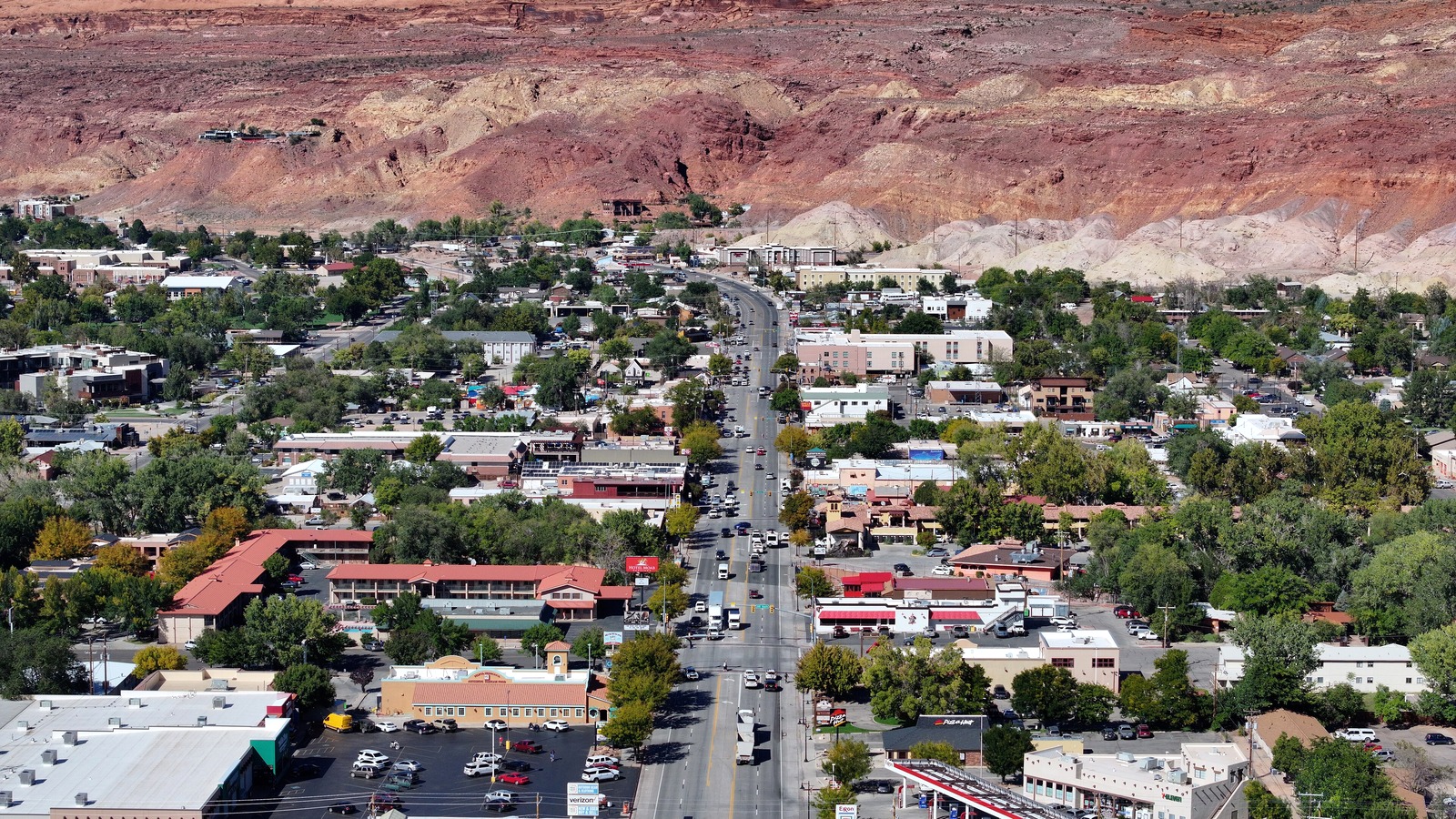 Quintin Soloviev, CC BY 4.0
Downtown Moab and Main Street
Lively, practical, and closest to evening services
- Best for
- first visits, restaurant choice, guided activities, short stays, and travelers who want an easy evening after a park day
- Around
- Moab Information Center, galleries, outfitters, restaurants, and Main Street services
- Feel
- busy, compact, and adventure focused
Skip if you want a silent desert setting, a riverfront retreat, or immediate trailhead access without passing through town
 Dino Reichmuth dinoreichmuth, CC0
North Moab and the Arches Approach
Roadside practical, park oriented, and less village like
- Best for
- Arches-heavy itineraries, early park starts, regional flights, and travelers who prioritize the northbound route
- Around
- Arches National Park, Lions Park, the Colorado River corridor, and Canyonlands Field
- Feel
- open, functional, and less centered on evening strolling
Skip if walkable dinner options and a compact town atmosphere are the priority after every outing
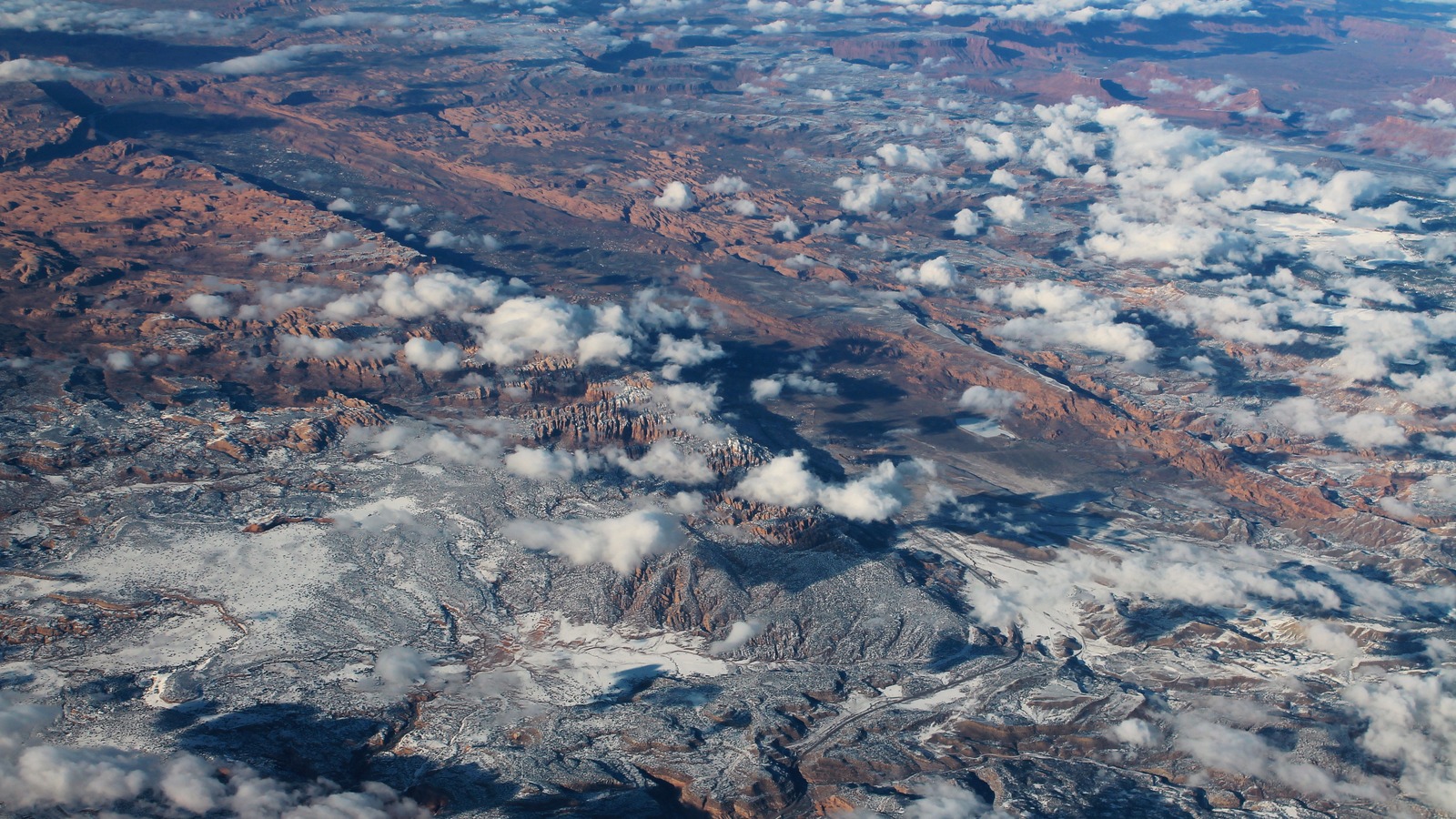 formulanone, CC BY-SA 2.0
South Moab and Spanish Valley
Spread out, residential, and desert edged
- Best for
- longer stays, groups needing more space, La Sal or southbound outings, and travelers who prefer a quieter base
- Around
- Spanish Valley, Old Spanish Trail Arena area, south Moab services, and desert access roads
- Feel
- calmer, more dispersed, and less walkable
Skip if you want to walk from lodging to dinner, shops, and guided departures without using a car
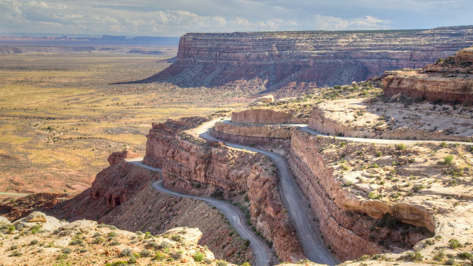 Public domain via Wikimedia Commons
Moab Rim and Kane Creek
Rugged, elevated, and activity led
- Best for
- hikers, mountain bikers, climbers, and repeat visitors whose days start outside the commercial core
- Around
- Moab Rim, Kane Creek Canyon, local trail networks, and west side overlooks
- Feel
- scenic, independent, and less service dense
Skip if you need easy access to town restaurants, paved attractions, or a predictable route without checking conditions
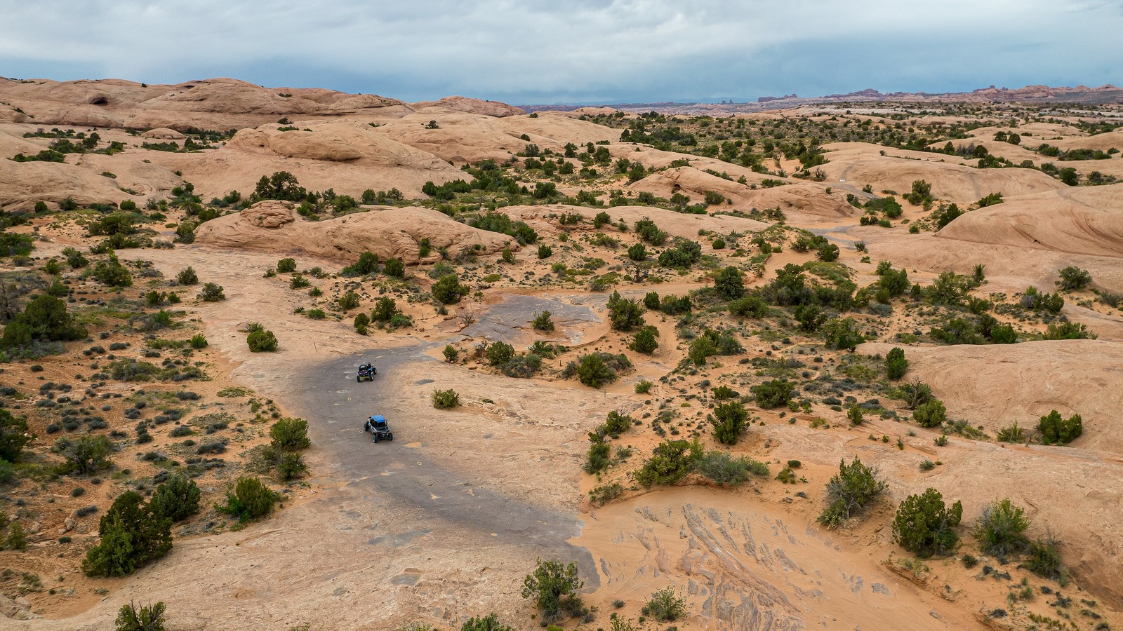 Carter Pape, CC BY-SA 4.0
Sand Flats and Slickrock
Dusty, direct, and recreation specific
- Best for
- mountain biking, off-road recreation, camping minded trips, and travelers who want recreation access before town access
- Around
- Slickrock Bike Trail, Sand Flats Recreation Area, and east Moab trail systems
- Feel
- exposed, informal, and centered on daytime activity
Skip if you want polished lodging surroundings, broad dining choice, or a base that works equally well for a non-riding companion
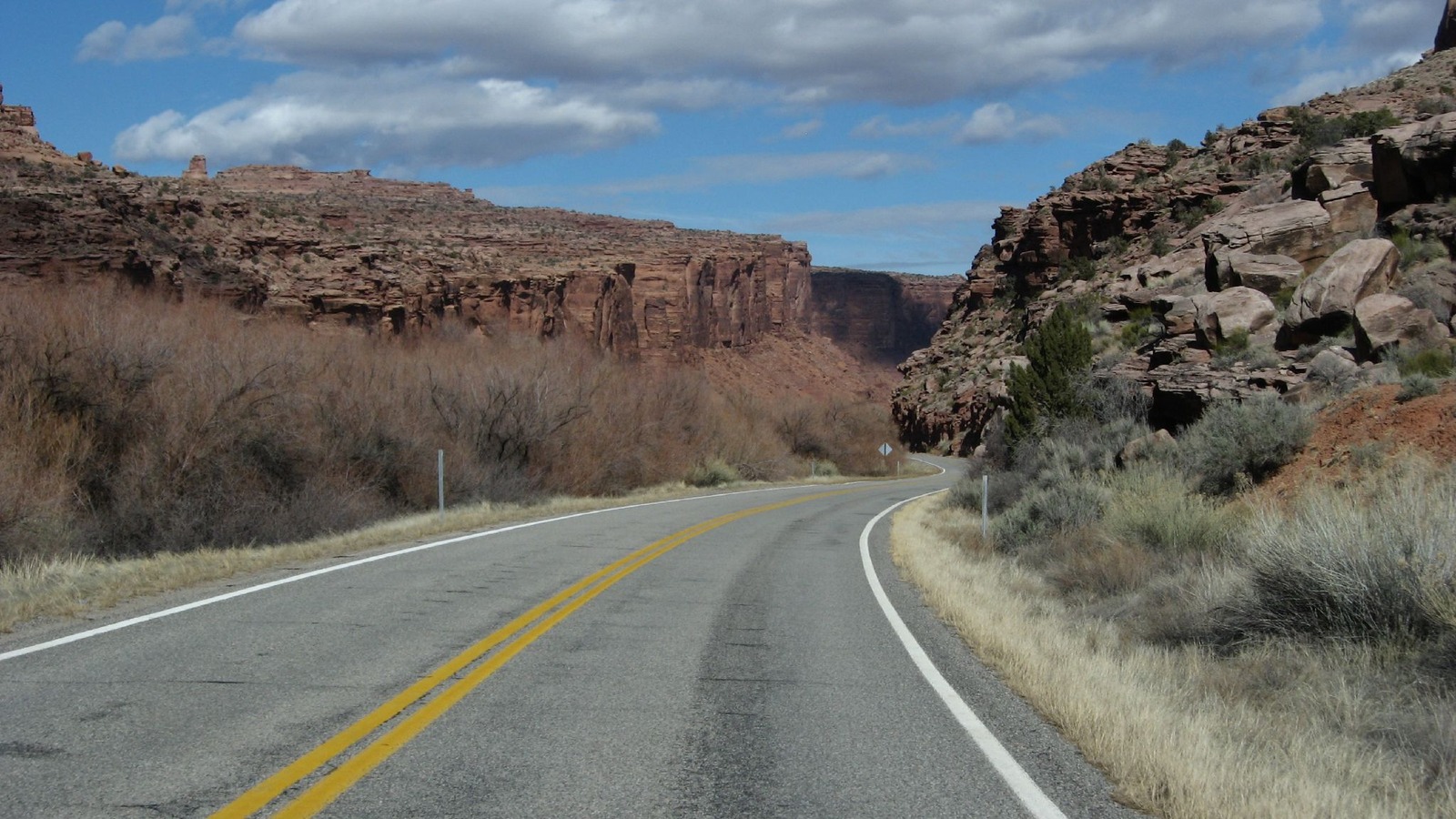 Ken Lund from Reno, Nevada, USA, CC BY-SA 2.0
Colorado River Corridor and Highway 128
Riverside, isolated, and canyon scenic
- Best for
- river scenery, quieter multi-night stays, rafting centered plans, and travelers who value setting over spontaneous dining
- Around
- Colorado River, Highway 128 canyon scenery, river access, and northeast Moab outings
- Feel
- peaceful, dramatic, and intentionally removed
Skip if you expect to walk to restaurants, switch plans easily, or split every day evenly between Arches and Canyonlands
Tradeoffs at a glance
Moab Base Fit Matrix
Compare park approach, food access, trail logistics, vehicle dependence, and the reason to reject each base.
| Area | Vibe | Main anchor | Getting around | Best for | Who should skip |
|---|---|---|---|---|---|
| AreaDowntown Moab and Main Street | VibeBest all-round base | CoreMain Street, Center Street, and the downtown visitor hub | Getting aroundWalking for meals, local transit stops, tours, bikes, and a vehicle for park days | Best forfirst visits, restaurant choice, guided activities, short stays, and travelers who want an easy evening after a park day | Skipyou want a silent desert setting, a riverfront retreat, or immediate trailhead access without passing through town |
| AreaNorth Moab and the Arches Approach | VibeArches-first base | CoreUS 191 north of downtown toward the Arches entrance and Canyonlands Field | Getting aroundVehicle first, with seasonal shuttle planning where offered | Best forArches-heavy itineraries, early park starts, regional flights, and travelers who prioritize the northbound route | Skipwalkable dinner options and a compact town atmosphere are the priority after every outing |
| AreaSouth Moab and Spanish Valley | VibeQuieter outer stay | CoreSouth of central Moab along US 191 and the Spanish Valley approach | Getting aroundVehicle essential for meals, parks, river put ins, and trailheads | Best forlonger stays, groups needing more space, La Sal or southbound outings, and travelers who prefer a quieter base | Skipyou want to walk from lodging to dinner, shops, and guided departures without using a car |
| AreaMoab Rim and Kane Creek | VibeView and trail base | CoreWest of town near the Moab Rim, Kane Creek Road, and trail access | Getting aroundVehicle first, with route suitability checked before committing to a trail or backroad plan | Best forhikers, mountain bikers, climbers, and repeat visitors whose days start outside the commercial core | Skipyou need easy access to town restaurants, paved attractions, or a predictable route without checking conditions |
| AreaSand Flats and Slickrock | VibeRide-first setting | CoreSand Flats Recreation Area and the Slickrock trail side of east Moab | Getting aroundVehicle and bike logistics, with supplies gathered before heading out | Best formountain biking, off-road recreation, camping minded trips, and travelers who want recreation access before town access | Skipyou want polished lodging surroundings, broad dining choice, or a base that works equally well for a non-riding companion |
| AreaColorado River Corridor and Highway 128 | VibeScenery-first retreat | CoreColorado River lodging corridor northeast of Moab along Highway 128 | Getting aroundVehicle essential for town, parks, groceries, and most activity starts | Best forriver scenery, quieter multi-night stays, rafting centered plans, and travelers who value setting over spontaneous dining | Skipyou expect to walk to restaurants, switch plans easily, or split every day evenly between Arches and Canyonlands |
Getting around
How a Moab base changes the stay
Arches and Canyonlands are reached by road, and the NPS says there is no public transportation inside Arches. Moab Area Transit and seasonal park shuttles can help on selected routes, but a vehicle or booked operator remains central for many itineraries.
If you stay in Downtown Moab and Main Street
Downtown is the simplest choice when the itinerary mixes park days with meals, gear shops, and guided departures. It still requires a transport plan for Arches, Canyonlands, and remote trailheads, so it is convenience rather than car-free lodging.
If you stay in North Moab and the Arches Approach
North Moab cuts the first leg toward Arches, whose entrance lies north of town on US 191. It is also a sensible area to assess when arriving through Canyonlands Field, but dining and downtown browsing are usually a separate outing.
If you stay in South Moab and Spanish Valley
South Moab and Spanish Valley suit a traveler whose lodging is a retreat between driving days rather than the evening destination. The tradeoff is simple: the larger the footprint and quieter the setting, the more every meal and activity begins with a vehicle.
If you stay in Moab Rim and Kane Creek
A west side base makes sense when outdoor access is the trip's main anchor and town is a secondary stop. It is not a substitute for verifying the road and activity plan, because Moab's trail and backcountry access varies sharply by route and conditions.
If you stay in Sand Flats and Slickrock
Sand Flats is a purpose-built choice for travelers who know their trip revolves around the recreation area and east side trails. It reduces the friction of a ride day, while making food, errands, and most evening plans depend on a return to town.
If you stay in Colorado River Corridor and Highway 128
The river corridor is for a stay where the landscape itself is part of the lodging decision. It works best with a clear driving plan because the payoff is separation from town, not equal convenience to every Moab attraction.
Staying over? Compare hotels in Moab at Expedia.
Deep Arrival earns a commission when you buy through partner links. It does not change the price you pay.
Frequently asked questions
Common questions on where to stay
What is the best area to stay in Moab for a first visit?
Should I stay in Moab for Arches National Park?
Is a car useful when staying in Moab?
Is North Moab or Downtown Moab better?
Where should mountain bikers stay in Moab?
Is the Colorado River corridor a good Moab base?
Continue planning
Useful next pages
Use these Deep Arrival guides to test the base choice against the wider trip before booking.
Sources checked
References and image credits
- Discover Moab: Places to Stay: official lodging category and town orientation
- Discover Moab: Transportation Services: official local transportation and airport shuttle planning context
- Arches National Park Directions: official park approach, road access, and transportation limitations
- Canyonlands National Park Directions: official access planning for Canyonlands districts
- Discover Moab: Arches Shuttle: official seasonal shuttle and Moab Area Transit connection context
- Sand Flats Recreation Area: federal recreation-area access and use context
- Red rock landscape surrounding Moab, Utah: Public domain image via Wikimedia Commons
- Main Street in Moab with red rock cliffs in the distance: Photo by Quintin Soloviev, CC BY 4.0, via Wikimedia Commons
- Red rock road near the Arches National Park approach from Moab: Photo by Dino Reichmuth dinoreichmuth, CC0, via Wikimedia Commons
- Desert valley and red cliffs south of Moab in Spanish Valley: Photo by formulanone, CC BY-SA 2.0, via Wikimedia Commons
- Red rock overlook near the Moab Rim west of town: Public domain image via Wikimedia Commons
- Red slickrock terrain in the Sand Flats Recreation Area near Moab: Photo by Carter Pape, CC BY-SA 4.0, via Wikimedia Commons
- Colorado River winding through red rock canyon near Moab: Photo by Ken Lund from Reno, Nevada, USA, CC BY-SA 2.0, via Wikimedia Commons
This chooser uses stable area guidance, not hotel rankings or live prices. Check official transportation, airport, port, and visitor pages before locking arrival details.