
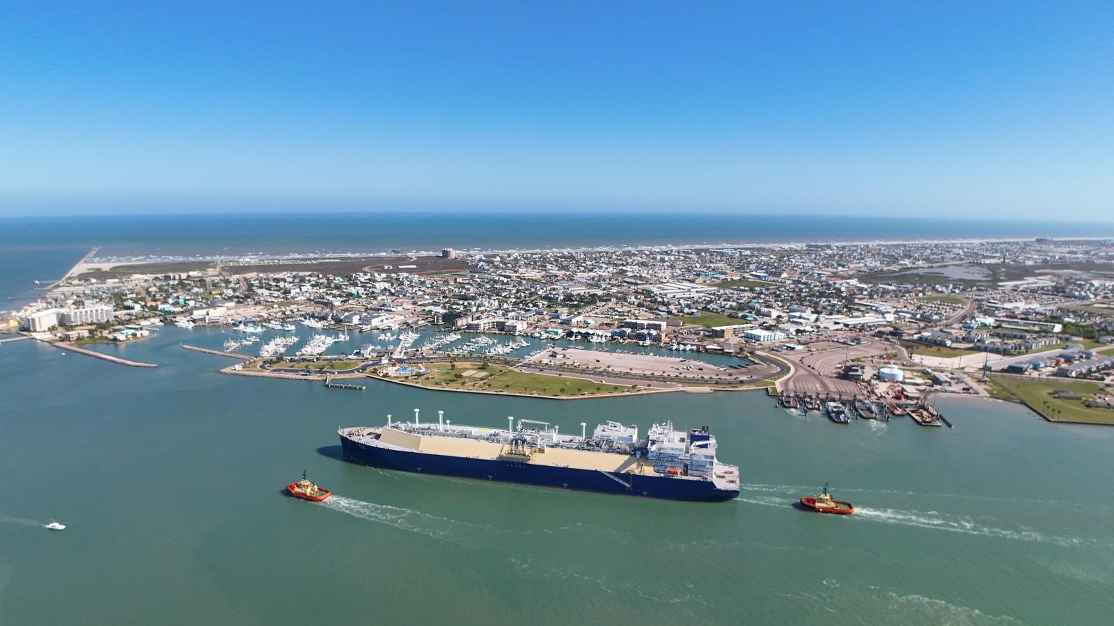
Port Aransas works best when the beach, working ship channel and protected back-island wetlands are treated as three different trip shapes. These 13 picks stay distinct across Gulf swimming, birding, marine science, ferry travel, barrier-island access, paddling, fishing and surfing instead of padding the list with individual shops, restaurants or near-identical beach access points.
The top 13, ranked
Ranked from current operator, county, university, Texas Parks and Wildlife and destination sources. Surf flags, ferry waits, state-park capacity, boat departures, weather and fishing rules remain deferred to the linked official pages.
- Top pick
 #1Best for a flexible Gulf beach day · #1 of 13
Port Aransas Beach
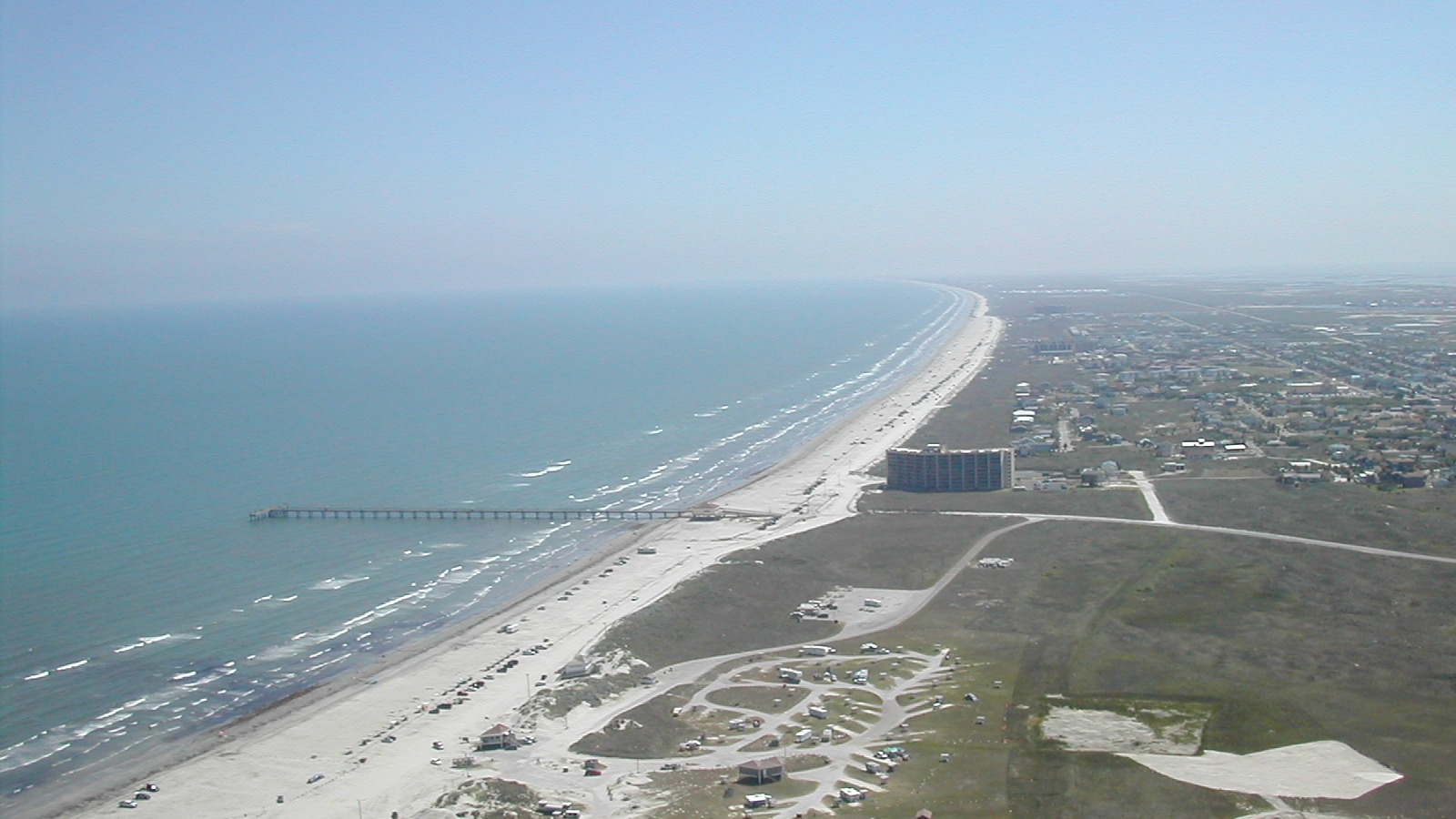
Gulf beachMustang Island Gulf shoreThe destination beach and rules pages publish access, parking, camping, driving, flag, lifeguard and wildlife guidance.Under $15Eighteen miles of broad Gulf shoreline support swimming, walking, shelling and drive-on beach setups, giving Port Aransas its defining full-day experience rather than a token waterfront stop.
Local tipRead the flag at the access road before entering the water, keep vehicles out of the dunes and confirm whether your stretch requires a beach parking permit.
- Top pick
 #2Best for a managed beach-and-nature day · #2 of 13
Mustang Island State Park
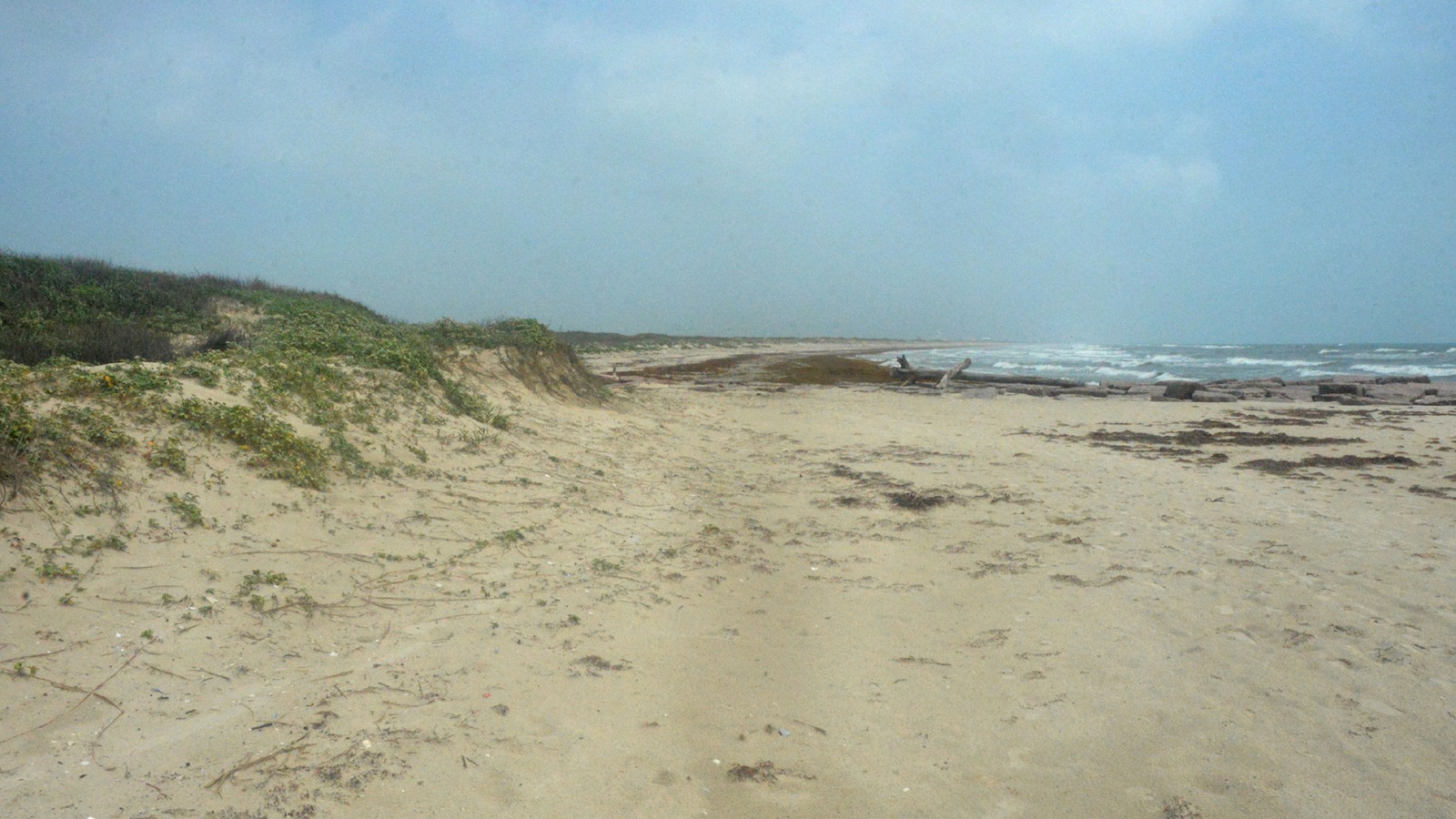
Coastal state parkSouth Mustang IslandTexas Parks and Wildlife posts current alerts, daily hours, fees, reservations, camping, beach and paddling information.Under $15Five miles of protected shoreline, campsites, paddling access, birding and ranger programming create a more structured nature day than the city beach, with state-park facilities behind the dunes.
Local tipReserve a day-use entry during busy periods, review active alerts before driving south and separate the adult entrance fee from camping or equipment charges.
- Top pick
 #3Best for easy wildlife watching · #3 of 13
Leonabelle Turnbull Birding Center
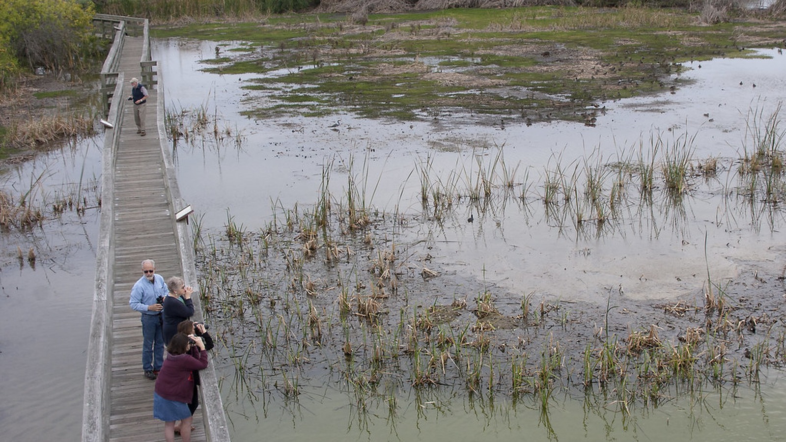
Wetland birding centerRoss AvenueThe current visitor page lists free daily sunrise-to-sunset access, location, boardwalk length, tower access and guided-program details.FreeA 1,250-foot boardwalk and two shaded observation towers open onto a freshwater marsh on the Central Flyway, producing close, low-effort wildlife viewing within town.
Local tipGo near sunrise, bring binoculars and keep children close to the boardwalk edge; one tower is ramp-accessible while the other uses stairs.
-
 #4Best for a longer in-town nature walk · #4 of 13
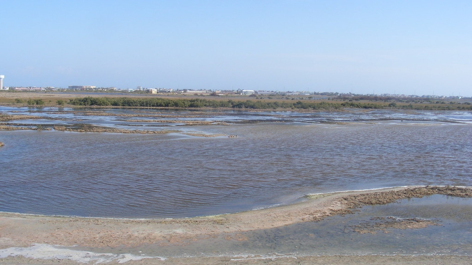
Port Aransas Nature Preserve
Coastal prairie preserveCharlie's PastureThe preserve page publishes dawn-to-dusk access, trail shapes, current site guidance, amenities and habitat rules.FreeCharlie's Pasture links paved trail, gravel loop, boardwalk and ship-channel viewpoints across a larger coastal-prarie landscape, making it a real walk rather than another birding platform.
Local tipChoose the Port Street or South Trail access for the route you want, carry water and stay on marked paths because the preserve prohibits pets, alcohol, hunting and fishing.
-
 #5Best for a walk-over-water view or casual pier session · #5 of 13
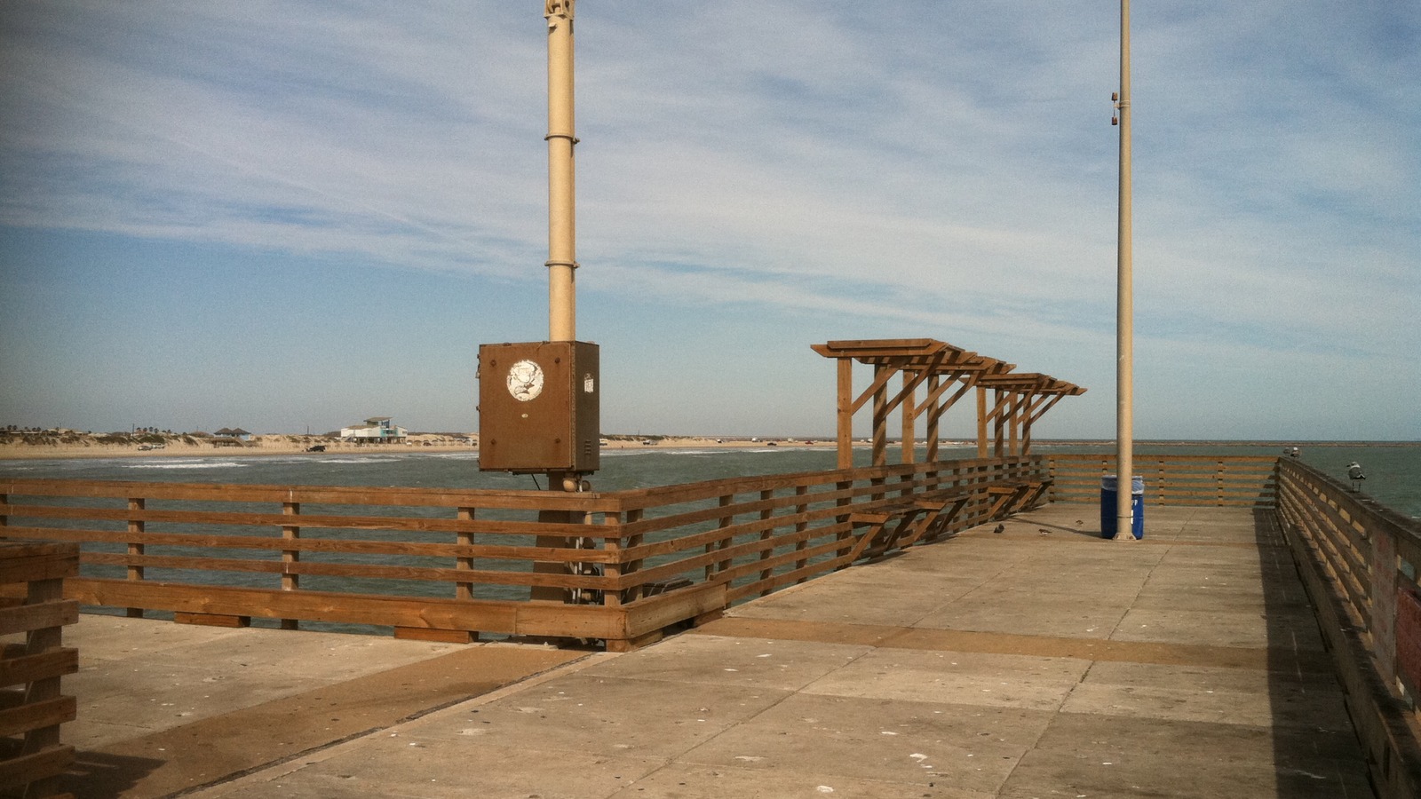
Horace Caldwell Pier
Gulf fishing pierI.B. Magee Beach ParkNueces County maintains the facility listing; local beach-safety guidance covers surf, flags and structure-related swimming hazards.Under $15The 1,240-foot elevated pier reaches well beyond the surf, giving walkers, anglers and photographers a broad Gulf perspective without booking a boat.
Local tipCheck the county facility status and weather before going, budget separately for pier access or fishing and never swim beside the structure where currents intensify.
-
 #6Best for ship watching and a raw Gulf-edge walk · #6 of 13
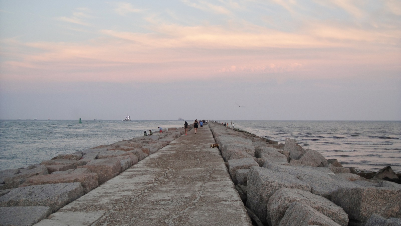
South Jetty
Working-channel landmarkNorth end of Port Aransas BeachThe current destination landmark guide describes channel viewing and explicitly warns about slippery rocks, uneven surfaces, weather and strong currents.FreeThe long rock jetty puts Gulf waves, shorebirds, anglers and ocean-going ships into the same frame, delivering the island's strongest working-waterfront view.
Local tipWear shoes with grip, avoid wet or wave-washed rocks and keep well back from the active channel; this is a viewpoint and fishing structure, not a swimming area.
-
 #7Best for a low-stress harbor break · #7 of 13
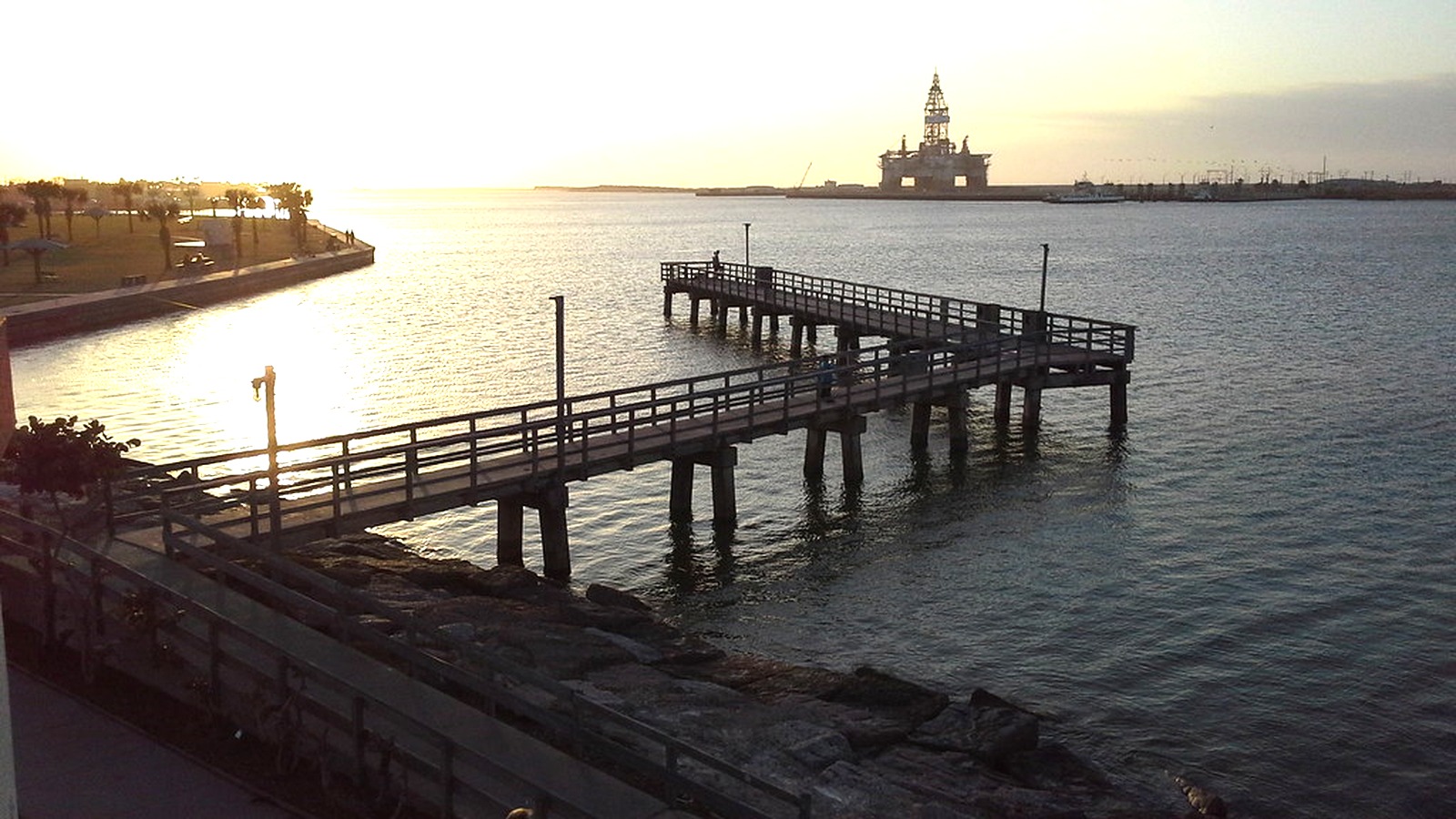
Roberts Point Park
Harborfront parkShip channel and marinaThe current listing confirms city management, accessibility, restrooms, covered picnic area, pet access and the active amphitheater program.FreeHarbor walks, shaded picnic space, a playground, amphitheater and constant ferry-and-ship movement make this the island's most useful easygoing park between scheduled activities.
Local tipUse it for sunset or while monitoring the ferry queue, and verify the events calendar before expecting a concert at the Patsy Jones Amphitheater.
-
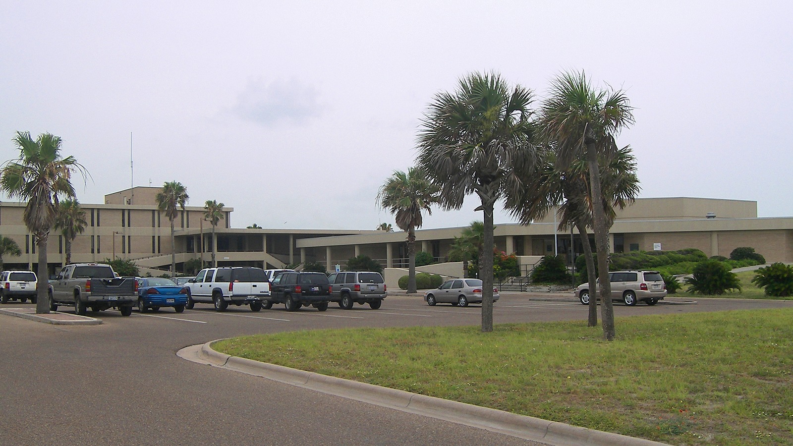 #8Best for a weather-proof marine science stop · #8 of 13
Patton Center for Marine Science Education
Marine science centerUT Marine Science InstituteUT Marine Science Institute publishes current free admission, visitor hours, aquarium count, program details and campus guidance.FreeEight aquaria, hands-on exhibits and research interpretation translate the Texas coast into a compact indoor learning stop that works when heat or rain interrupts the beach.
Local tipConfirm the posted Tuesday-through-Saturday schedule before planning around it and distinguish this public center from the Amos Rehabilitation Keep, which is not open to visitors.
-
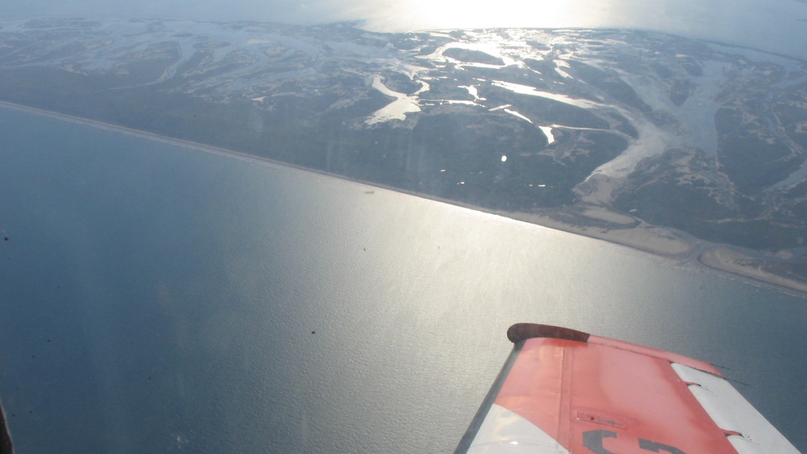 #9Best for a self-sufficient barrier-island outing · #9 of 13
San Jose Island
Undeveloped barrier-island beachAcross Aransas PassThe destination page publishes the limited-access rule, boat connection, lack of amenities and practical packing guidance.$30 to $50A passenger boat reaches an undeveloped barrier-island shoreline with shelling, surf fishing and no resort infrastructure, creating a meaningfully wilder beach day than the drivable Mustang Island coast.
Local tipBring all water, food, shade and return-time information; visitor access is limited to the public beach below mean high tide and there are no services on the island.
-
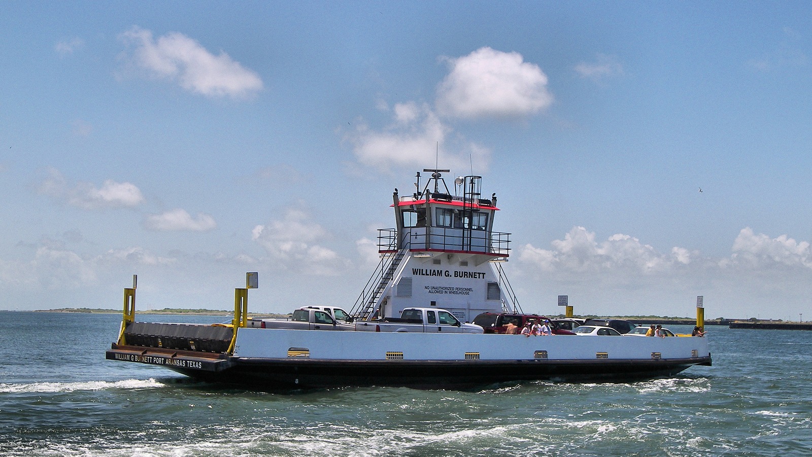 #10Best for a scenic arrival or departure · #10 of 13
Port Aransas Ferry
Free vehicle and pedestrian ferryAransas Pass ship channelThe current transportation page states free first-come service, pedestrian access, typical crossing time, peak-delay patterns and weather contingencies.FreeThe short free crossing is both transportation and an island arrival ritual, with close views of working ships and occasional wildlife in the Corpus Christi Ship Channel.
Local tipCheck live conditions before joining the queue and avoid peak Sunday, holiday and summer departure periods when the wait can exceed the crossing itself many times over.
-
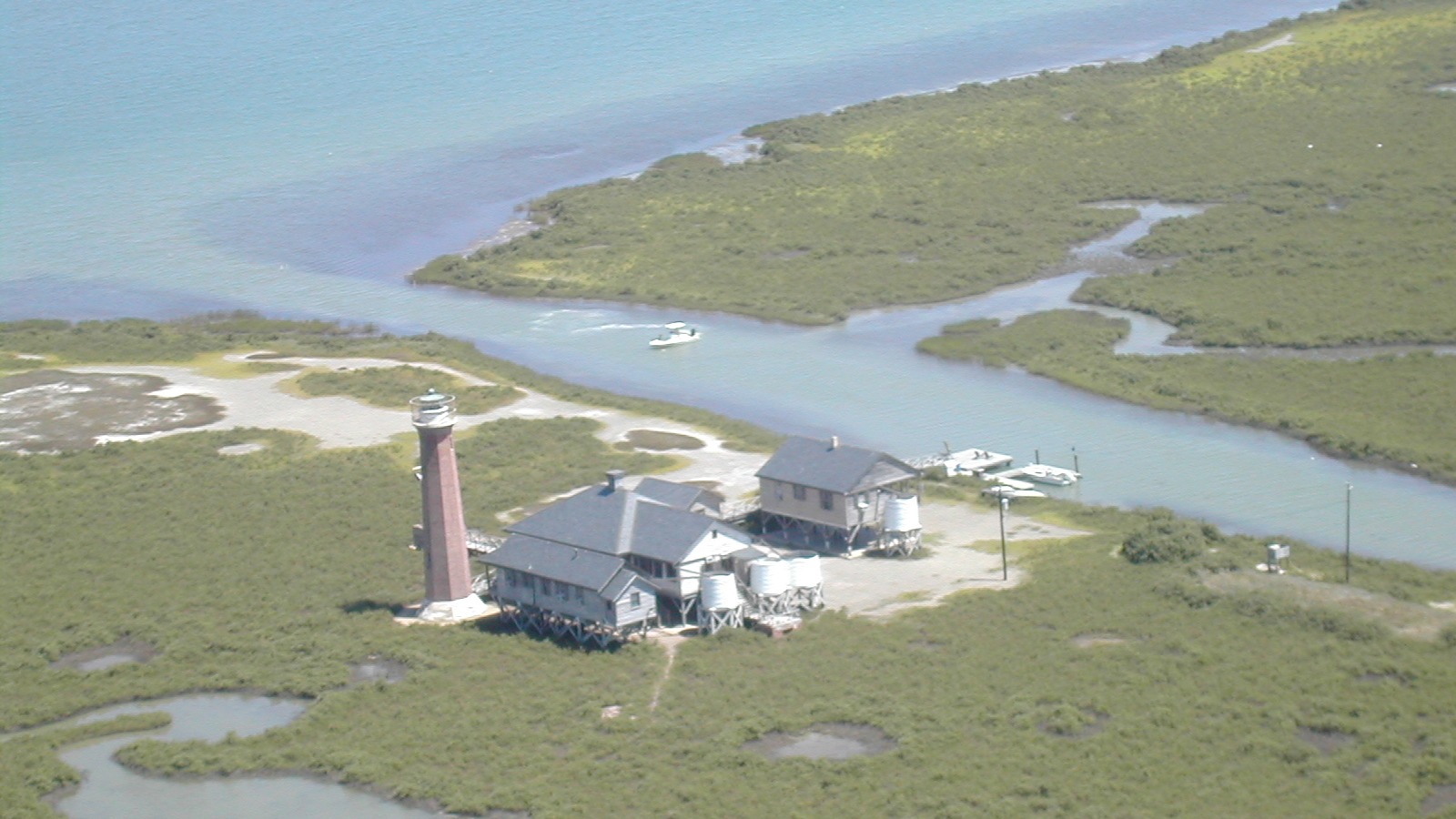 #11Best for experienced paddlers and guided beginners · #11 of 13
Lighthouse Lakes Paddling Trail
Marked coastal paddling loopsRedfish BayTexas Parks and Wildlife publishes access coordinates, loop lengths, paddling times, navigation risks, safety equipment and ecological guidance.$30 to $50Four marked loops run through mangrove-lined sloughs and seagrass flats near Lydia Ann Lighthouse, offering a navigable estuary experience that feels distinct from open-Gulf recreation.
Local tipCarry the TPWD photomap or GPS, wear a PFD, plan for wind and tide and yield to powered vessels while crossing the Aransas Channel from the launch.
-
 #12Best for a booked Gulf or bay fishing experience · #12 of 13
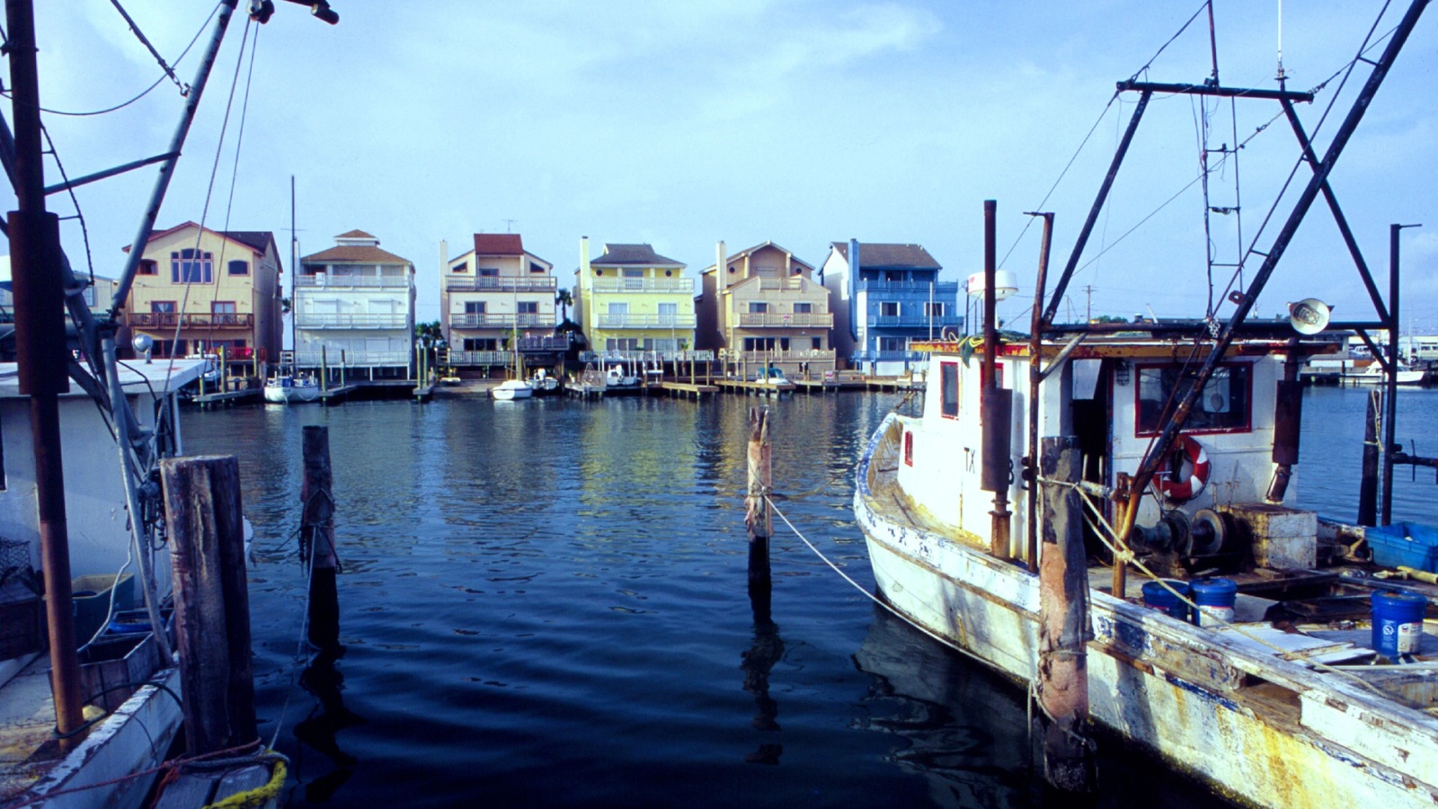
Port Aransas Fishing Charter
Offshore or bay fishing tripPort Aransas harborThe current fishing guide explains charter formats and target waters; Texas fishing rules remain authoritative for seasons, limits and licensing.Varies by showPort Aransas supports half-day bay boats, shared offshore trips and private deep-water charters, letting travelers choose a real fishing day by distance, target species and comfort rather than treating every excursion as interchangeable.
Local tipMatch the boat to your group's experience, ask what license, tackle and fish cleaning are included, and confirm weather, cancellation and seasonal-species rules before paying.
-
 #13Best for an active water session · #13 of 13
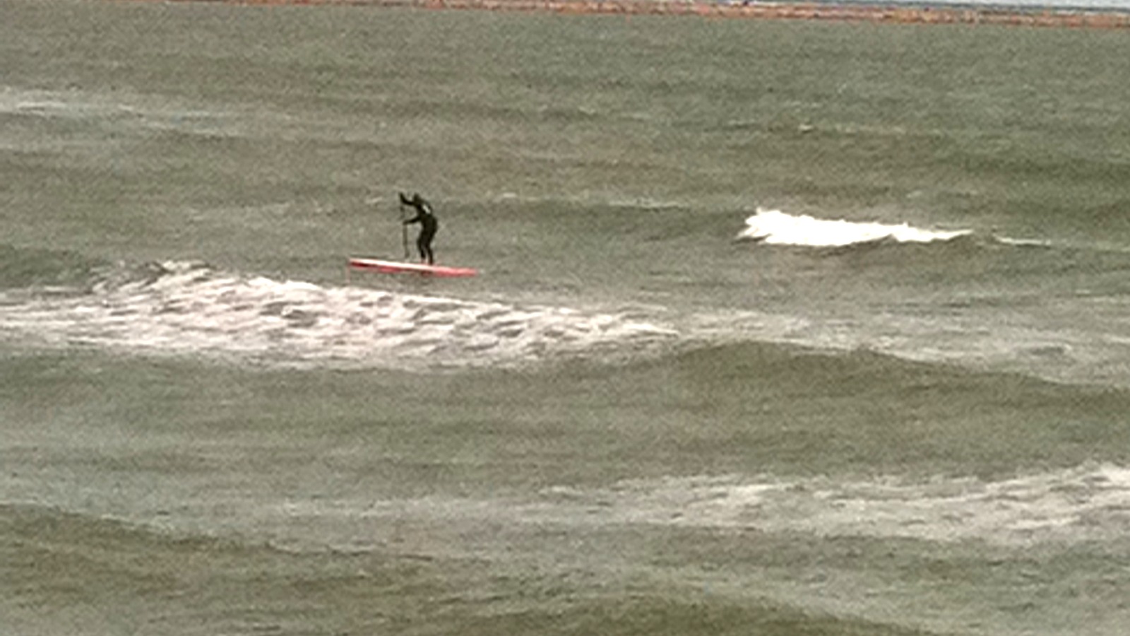
Surfing at Port Aransas
Gulf surfingPort Aransas beach breaksThe current surf guide covers lessons, rentals, seasonal swell, beach-break behavior and hazards including rips, jellyfish and changing flags.$30 to $50Long exposed beach breaks support rentals, lessons and independent sessions, adding an active Gulf option that depends on swell and skill rather than merely repeating a beach day.
Local tipBeginners should book instruction, all surfers should check flags and rip-current guidance, and nobody should paddle out beside the pier or jetty where currents are stronger.
Where things cluster
Keep the city beach, pier and South Jetty in one Gulf block; pair Roberts Point with the ferry and harbor; group Leonabelle with Charlie's Pasture; and treat Mustang Island State Park, San Jose Island and Lighthouse Lakes as separate half-day commitments.
- Beach, pier and South JettyThe city beach, Horace Caldwell Pier and South Jetty share one shoreline corridor, but the jetty and pier require different current and footing precautions.
- Leonabelle and Charlie's PastureThe birding center provides quick boardwalk access; the larger nature preserve adds longer trails and ship-channel viewpoints without duplicating the same visit.
- Roberts Point, ferry and chartersUse Roberts Point as the flexible anchor around a ferry crossing or booked fishing departure, allowing generous buffer for queues and weather.
- State park, San Jose and Lighthouse LakesEach is a separate commitment: managed state-park beach, service-free barrier island or navigation-dependent estuary paddle.
Make it a day
Beach, wetlands and the ship channel
Start at Leonabelle near sunrise, continue to Port Aransas Beach and Horace Caldwell Pier, then finish with South Jetty ship watching and sunset at Roberts Point. Substitute the Patton Center for the mid-day beach block when weather or flags make the Gulf a poor choice.
Island core plus one coastal commitment
Use day one for Leonabelle, Charlie's Pasture, the beach, pier and Roberts Point. On day two choose only one major branch: Mustang Island State Park, a San Jose Island trip, Lighthouse Lakes paddle or fishing charter, then keep the ferry buffer separate from timed reservations.
Map
Best time to visit
F
M
A
M
J
J
A
S
O
N
D
Spring and fall usually balance warm outdoor conditions with easier walking, birding and paddling. Summer favors swimming and long beach days but brings stronger heat, storms and peak ferry queues; winter can deliver better surf and migration activity with more variable beach weather.
Staying over? Compare hotels in Port Aransas at Expedia.
Deep Arrival earns a commission when you buy through partner links. It does not change the price you pay.
Port Aransas things to do FAQ
Trip length, car needs, ferry logistics, family choices, beach safety and weather backups for Port Aransas.
How many days do you need in Port Aransas?
Two full days are enough for the island core plus one major water or nature outing. Use one day for the beach, birding center, pier and harbor, then reserve the second for Mustang Island State Park, San Jose Island, Lighthouse Lakes or a fishing charter rather than trying to stack several weather-dependent trips.
Do you need a car in Port Aransas?
A car is useful for the state park, southern beach accesses and any wider Corpus Christi route. The compact town, beach core and Roberts Point can work with walking, bikes or local carts, but carts are not a substitute for checking road, beach and ferry rules or for reaching every outlying attraction.
Is the Port Aransas ferry free, and do you need a reservation?
The ferry is free for vehicles and pedestrians and runs first-come rather than by reservation. The crossing is short, but holiday, summer and Sunday queues can be long, so check current conditions and never place a tight timed charter or boat departure immediately after your planned arrival.
What are the best things to do in Port Aransas with children?
Port Aransas Beach, Leonabelle Turnbull Birding Center, Roberts Point Park and the Patton Center cover the broadest age range. Mustang Island State Park adds facilities for a longer day. The South Jetty, paddling trail, fishing boats and San Jose Island require closer supervision, stronger mobility or more self-sufficiency.
Can you drive and park on Port Aransas Beach?
Vehicles can use designated parts of the beach, but a parking permit may be required and conditions can make some accesses difficult. Obey the 15 mph limit, bollards and no-drive dune zones; check flags, tides and current local rules before treating the sand as a normal roadway or campsite.
What should you do in Port Aransas when it rains or the water is unsafe?
Use the Patton Center as the primary indoor replacement when it is open, then consider a slow harbor and ferry view only if weather permits safe operations. Strong wind, lightning, red flags or marine warnings can also cancel paddling, surfing, fishing and San Jose boats, so preserve a flexible meal or Corpus Christi museum block rather than forcing a water itinerary.
Keep planning
Continue with verified Deep Arrival guides for Port Aransas campground logistics, nearby Corpus Christi, Padre Island National Seashore and a Galveston comparison after deciding whether this trip is centered on beaches, fishing or coastal wildlife.
Image credits. Hero: Quintin Soloviev / Wikimedia Commons / CC BY 4.0. 1 Port Aransas Beach: [email protected] / Wikimedia Commons / CC BY 3.0. 2 Mustang Island State Park: William L. Farr / Wikimedia Commons / CC BY 4.0. 3 Leonabelle Turnbull Birding Center: mihir.zaveri90 / Flickr / CC BY 2.0. 4 Port Aransas Nature Preserve: Gruenemann / Flickr / CC BY 2.0. 5 Horace Caldwell Pier: AudreyIski / Wikimedia Commons / CC BY-SA 3.0. 6 South Jetty: Spheroidite / Wikimedia Commons / CC BY-SA 4.0. 7 Roberts Point Park: amir85 / Flickr / CC BY-SA 2.0. 8 Patton Center for Marine Science Education: Larry D. Moore / Wikimedia Commons / CC BY 4.0. 9 San Jose Island: Agsftw / Wikimedia Commons / Public domain. 10 Port Aransas Ferry: Larry D. Moore / Wikimedia Commons / CC BY 4.0. 11 Lighthouse Lakes Paddling Trail: [email protected] / Wikimedia Commons / CC BY 3.0. 12 Port Aransas Fishing Charter: William B. Folsom, NOAA NMFS. / Wikimedia Commons / Public domain. 13 Surfing at Port Aransas: AudreyIski / Wikimedia Commons / CC BY-SA 3.0.