
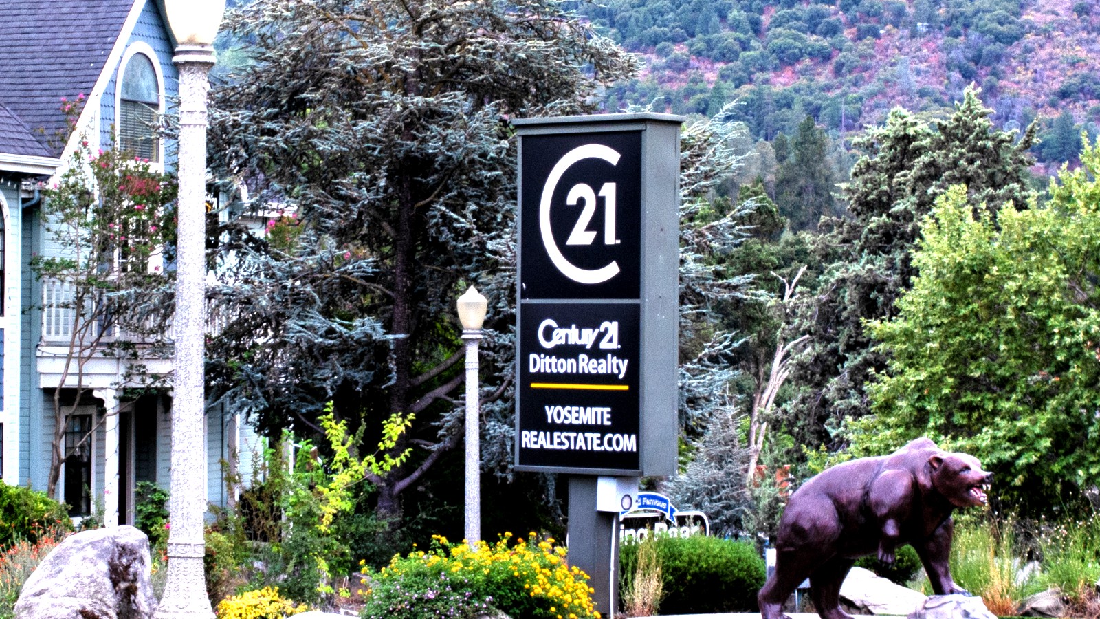
Oakhurst works best as a south-gateway base, not as a claim that every Yosemite icon fits in one day. The railroad, Bass Lake, children's museum, Lewis Creek, and Nelder Grove form the close-in set; Mariposa Grove and Wawona share a southern park day; the Valley, Glacier Point, and strenuous waterfall hikes need separate blocks.
The top 13, ranked
Ranks one through five keep the plan in Oakhurst, Bass Lake, Fish Camp, and Sierra National Forest. Later ranks separate Yosemite's south district, seasonal Glacier Point, accessible Valley stops, and strenuous waterfall hikes instead of treating them as one drive-through day.
- Top pick
 #1Best for the strongest booked family anchor · #1 of 13
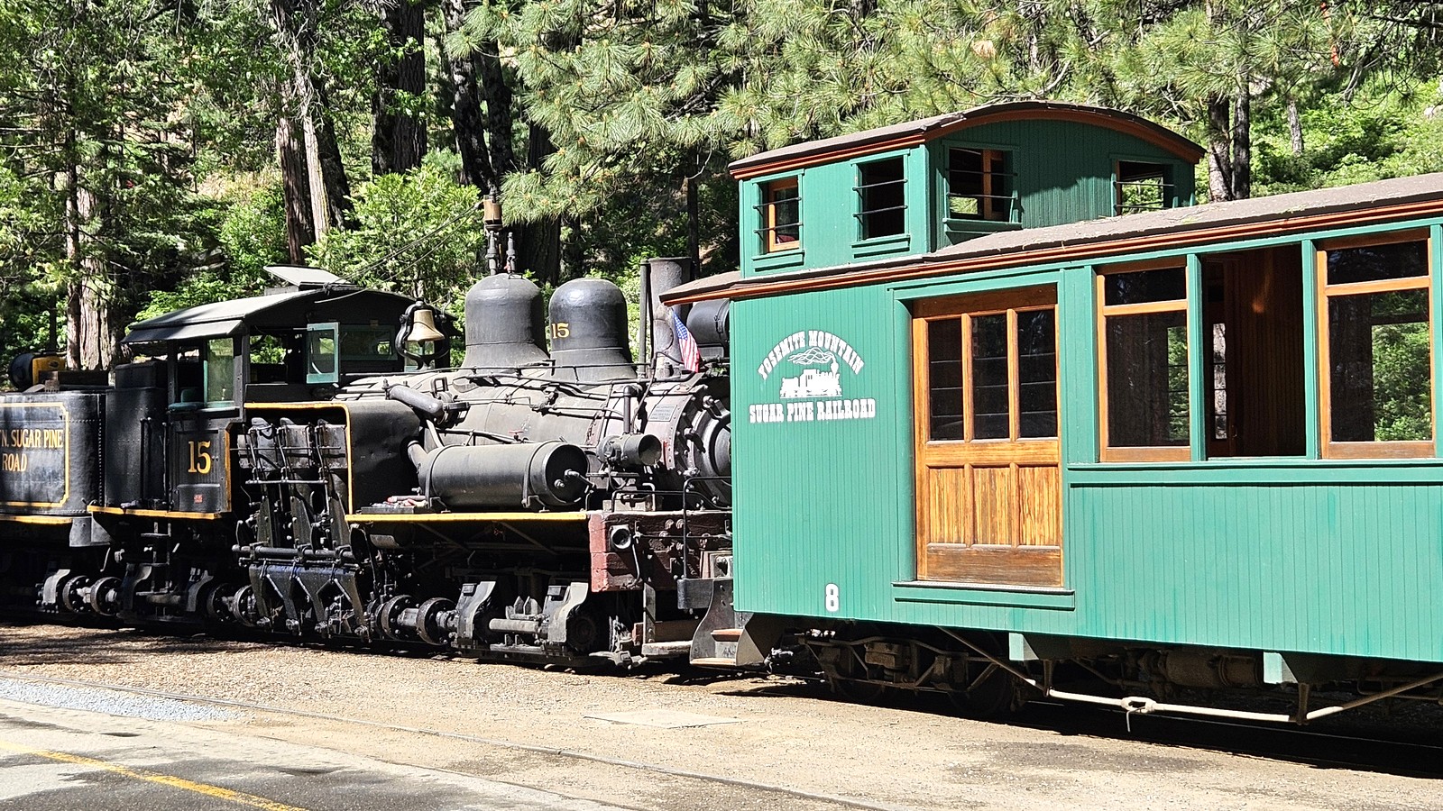
Yosemite Mountain Sugar Pine Railroad
Heritage RailroadFish Camp, 12 miles northdated seasonal departuresTicketedTwo historic Shay locomotives pull excursion trains through former logging country, while seasonal dinner trains, a museum, gold panning, and rail-side interpretation turn the ride into more than transportation.
Local tipReserve a dated departure and verify the train product, boarding time, weather policy, and accessibility. The daytime excursion and evening events use different schedules and inclusions.
- Top pick
 #2Best for a lake day outside the national park · #2 of 13
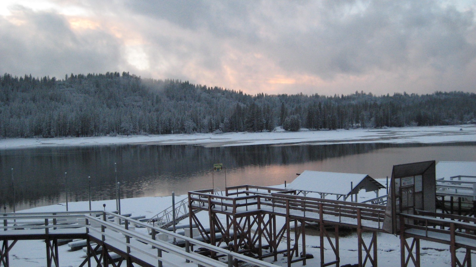
Bass Lake
Lake Recreation7 miles northeastyear-round lake; services and water activities are seasonalFree with paid parking, rentals, and servicesWarm-water swimming, boating, paddling, fishing, shoreline picnics, forest trails, and lakeside dining create a full recreation day close enough to Oakhurst to avoid entering Yosemite.
Local tipChoose a named launch, beach, marina, or trail before leaving town. Check water level, fire restrictions, swim conditions, parking, boat rules, and rental hours separately.
- Top pick
 #3Best for young children and a weather backup · #3 of 13
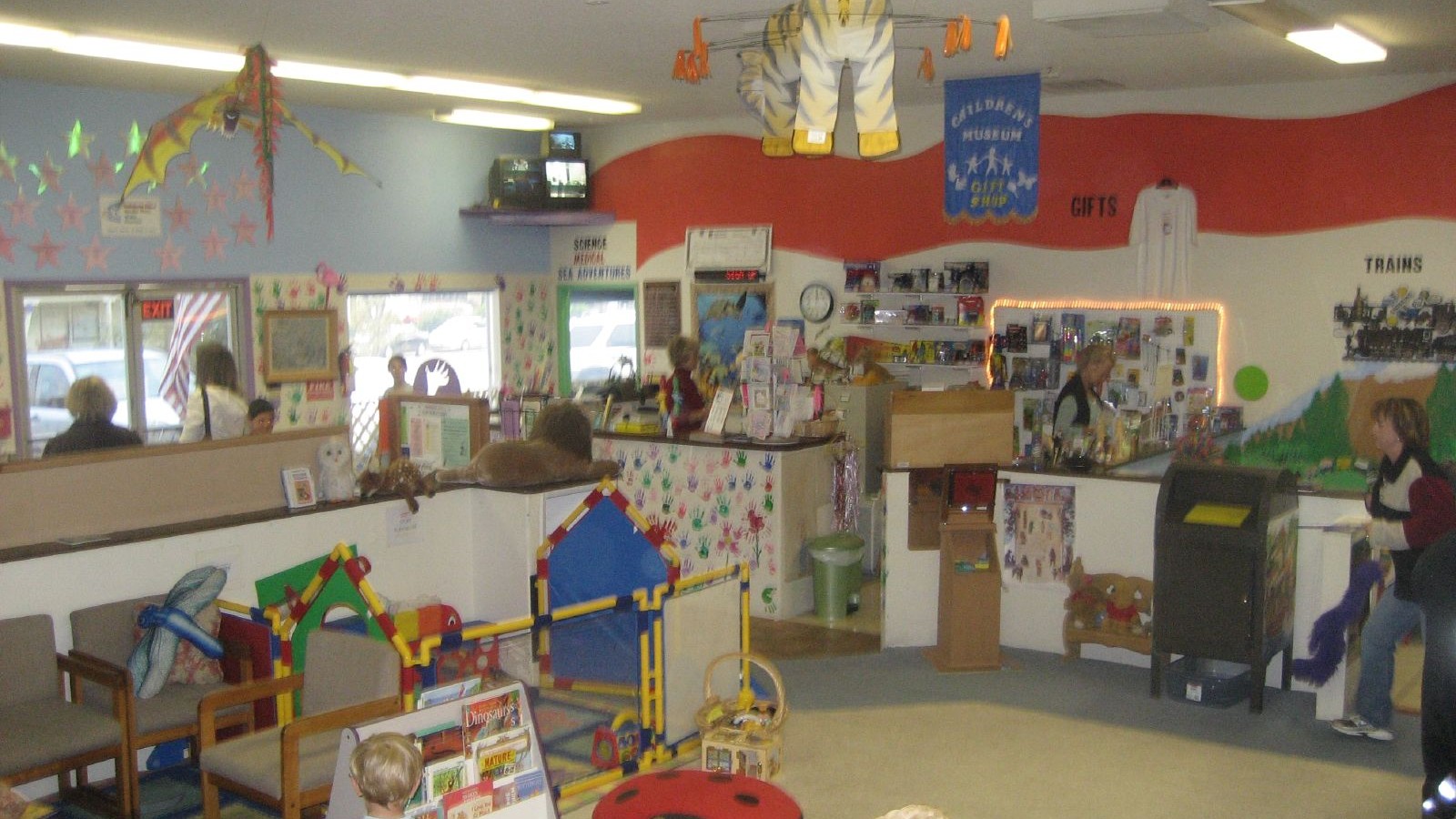
Children's Museum of the Sierra
Hands-On MuseumOakhurst town centerlimited weekly hours; verify before arrivalLow-cost admissionHands-on science, community, music, medicine, communication, and imaginative-play exhibits give younger children a purposeful indoor break from long drives, trail miles, and weather-dependent park plans.
Local tipConfirm the current open days, admission, age fit, and any group closure before promising the stop. Treat it as a child-led block rather than a quick adult museum walkthrough.
-
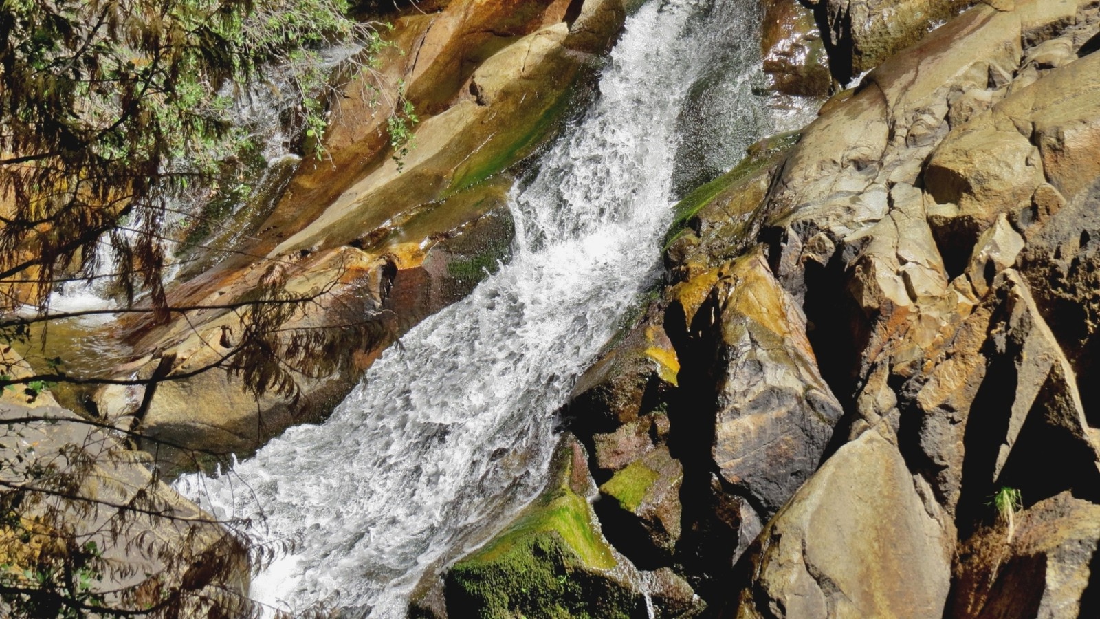 #4Best for a close waterfall hike · #4 of 13
Lewis Creek National Recreation Trail
Waterfall TrailHighway 41 north of Oakhurstdaylight trail access; conditions varyFreeA forest trail follows Lewis Creek to Corlieu and Red Rock falls, offering a substantial waterfall hike before the Yosemite entrance and without committing to the Valley drive.
Local tipPick one trailhead and turnaround before hiking, carry water, and check snow, fire, fallen-tree, and parking conditions. Wet granite and steep side paths are not safe shortcuts.
-
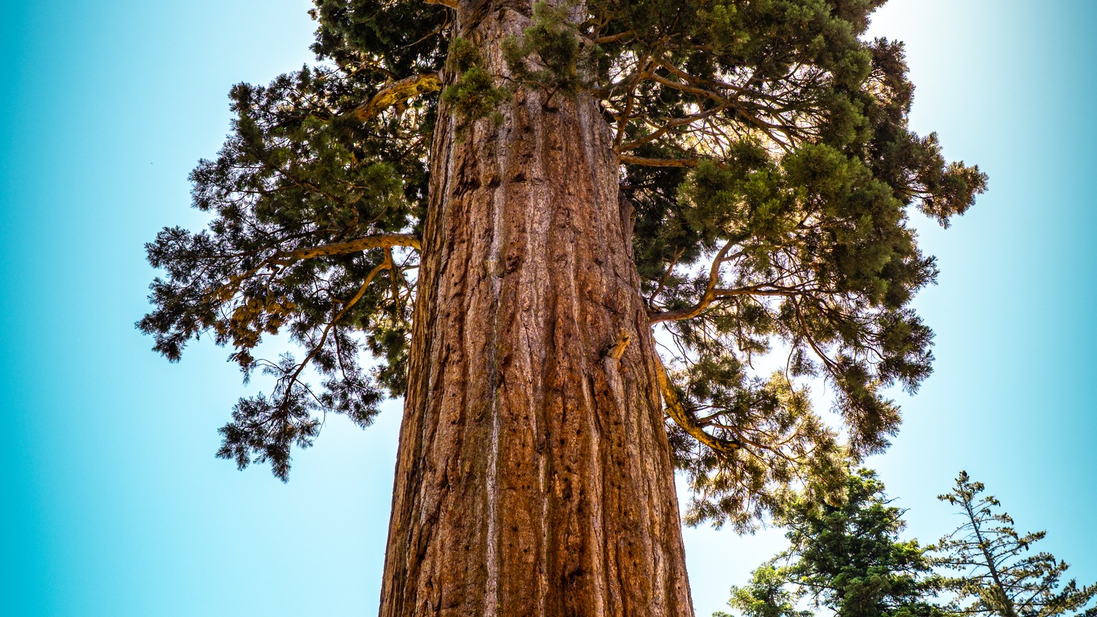 #5Best for a quieter giant-sequoia day · #5 of 13
Nelder Grove
Giant Sequoia GroveSierra National Forestseasonal road access; trail conditions varyFreeMore than one hundred mature giant sequoias, the Bull Buck tree, historic logging traces, and the Shadow of the Giants trail provide a quieter grove experience on national-forest roads south of Yosemite.
Local tipCheck the exact road, trail, fire, and seasonal access report before driving in. Download the route, bring food and water, and do not assume passenger-car access after storms or snow.
-
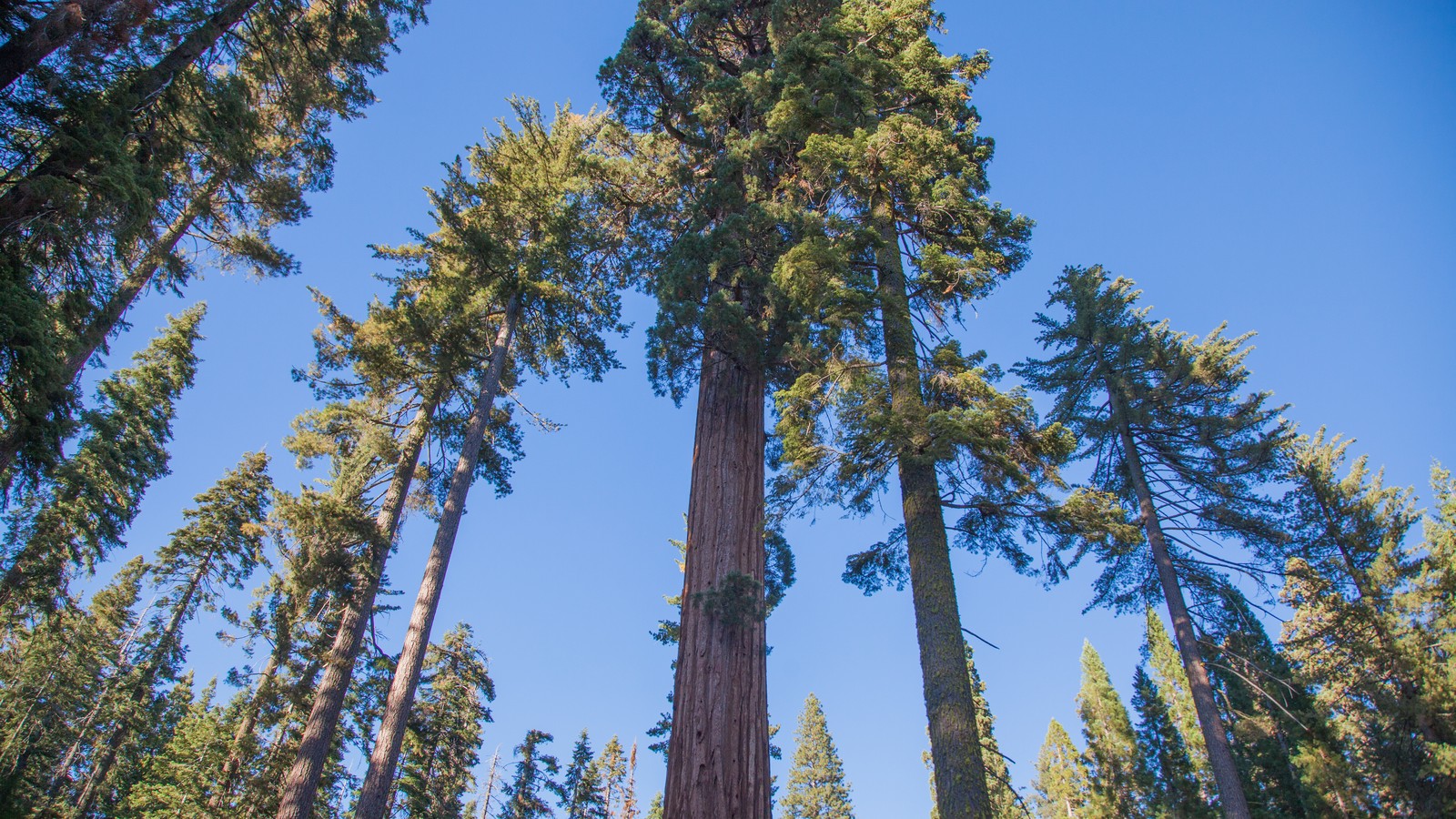 #6Best for the signature south-entrance grove · #6 of 13
Mariposa Grove of Giant Sequoias
National Park GroveYosemite South Entrancegrove open year-round; road and shuttle are seasonalYosemite entrance feeYosemite's largest sequoia grove contains the Grizzly Giant, California Tunnel Tree, accessible lower-grove routes, and longer walks to the upper grove, making it the signature south-entrance park stop.
Local tipVerify entry requirements, current road and shuttle operation, parking, trail closures, and accessible transportation. Without the shuttle, reaching the grove may require a much longer walk.
-
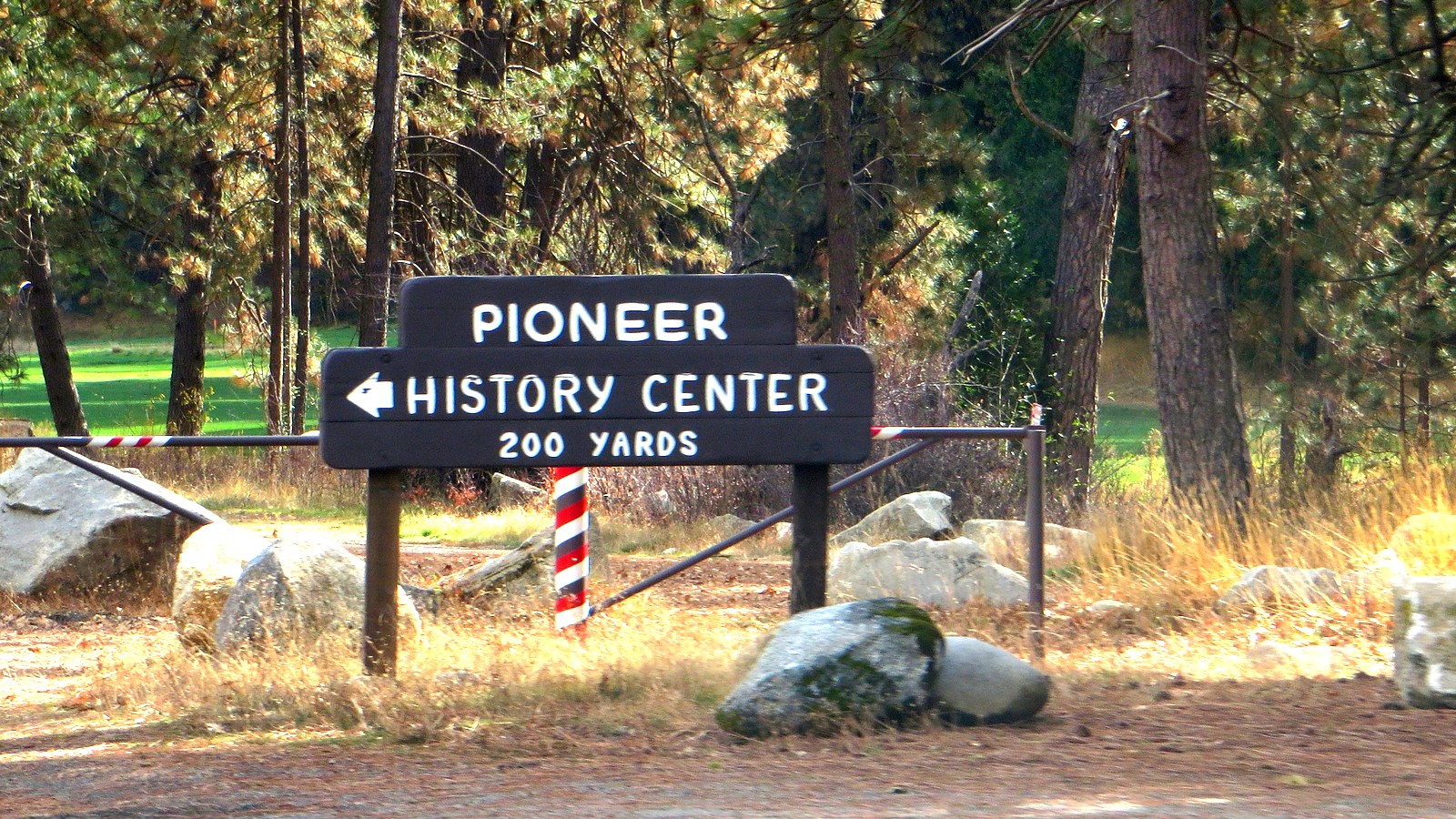 #7Best for Yosemite's human and transportation history · #7 of 13
Pioneer Yosemite History Center
Open-Air History CenterWawonaoutdoor grounds generally accessible; programs vary seasonallyIncluded with Yosemite entryHistoric Yosemite buildings relocated to Wawona interpret stage travel, early park administration, homesteading, conservation, and the people who shaped visitor access before modern roads.
Local tipCheck current building, bridge, program, and parking access. The outdoor grounds can still be worthwhile when interiors are closed, but staffed interpretation and stage rides are seasonal.
-
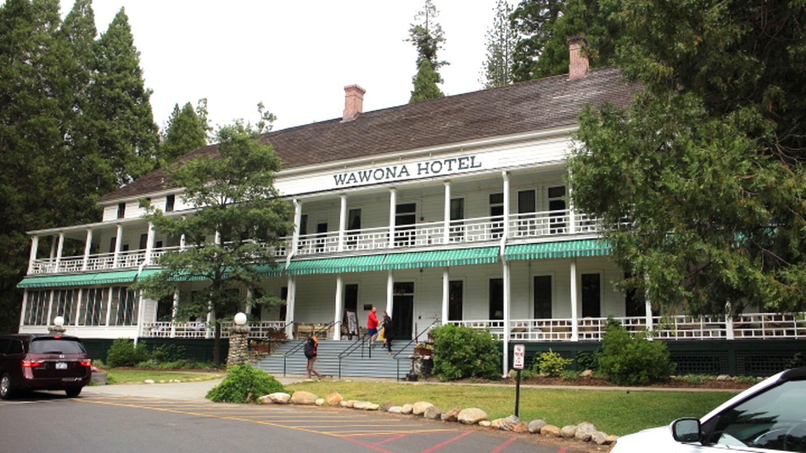 #8Best for a historic-hospitality stop · #8 of 13
Wawona Hotel
Historic HotelWawonaseasonal lodging and dining operationFree grounds with paid dining or lodgingThe white Victorian hotel complex, verandas, dining room, lawns, and long Yosemite hospitality history make Wawona a distinct architectural pause even for travelers not staying overnight.
Local tipConfirm the operating season, dining reservations, public-area access, parking, and any construction before driving over. Guest facilities are not automatically open to day visitors at all hours.
-
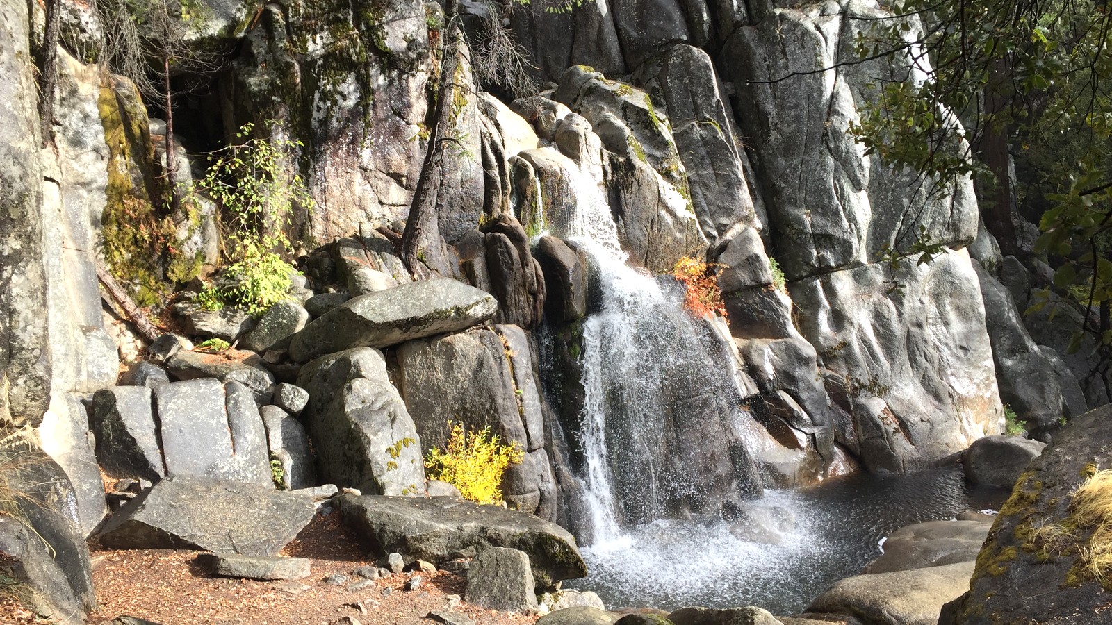 #9Best for a strenuous Wawona hike · #9 of 13
Chilnualna Falls Trail
Strenuous Waterfall HikeWawonayear-round trail with highly seasonal conditionsIncluded with Yosemite entryA steep climb follows multiple cascades toward the upper falls and broad Wawona views, giving experienced hikers a demanding south-district objective away from Yosemite Valley congestion.
Local tipThis is not a roadside waterfall. Check heat, snow, fire, trail, and water conditions, start early, carry a full hiking kit, and turn around before fatigue or afternoon weather controls the descent.
-
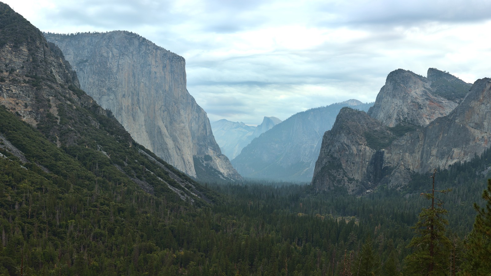 #10Best for the first Yosemite Valley overview · #10 of 13
Tunnel View
Scenic OverlookWawona Roadroadside access when Wawona Road is openIncluded with Yosemite entryThe overlook frames El Capitan, Bridalveil Fall, Half Dome, and the full Yosemite Valley on the Highway 41 approach, making it Oakhurst's most natural first Valley orientation stop.
Local tipUse a legal parking space, remain behind barriers, and keep the stop short when lots are full. Smoke, storms, roadwork, and seasonal waterfall flow can change the view dramatically.
-
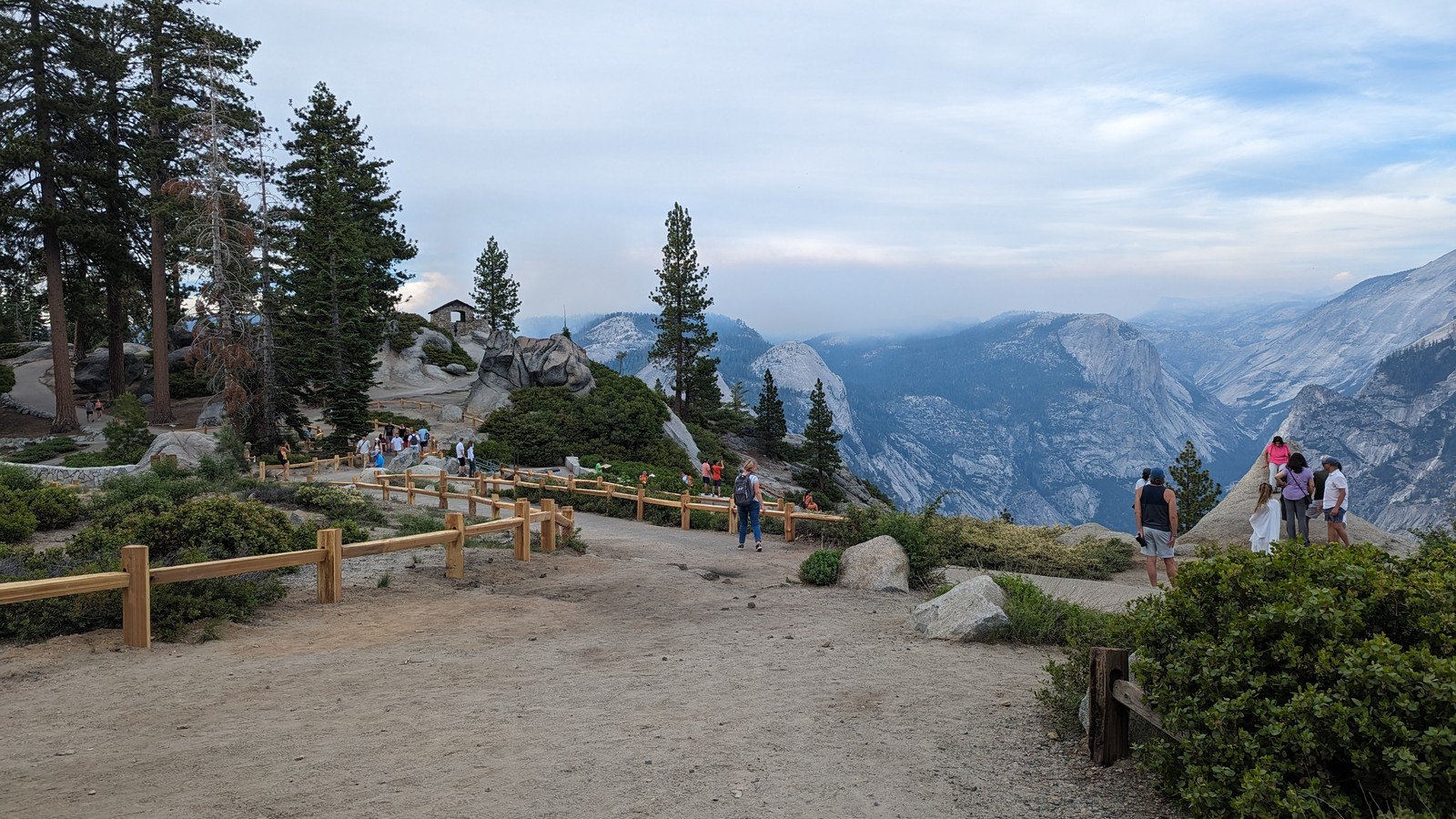 #11Best for the broadest drive-up Yosemite panorama · #11 of 13
Glacier Point
High-Country OverlookGlacier Point Roadseasonal road, generally late spring into fallIncluded with Yosemite entryA short paved approach opens views of Half Dome, Yosemite Valley, Yosemite Falls, and the high country from more than three thousand feet above the Valley floor.
Local tipTreat the road as seasonal and confirm it is open before leaving Oakhurst. Allow mountain-road time, use only signed overlooks, and abandon the plan when storms, smoke, or road restrictions erase visibility.
-
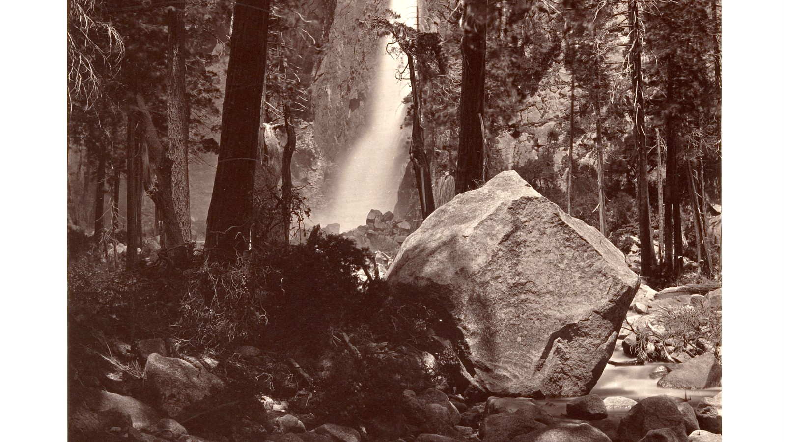 #12Best for an accessible Valley waterfall walk · #12 of 13
Lower Yosemite Fall
Waterfall WalkYosemite Valleytrail open year-round; waterfall flow peaks in springIncluded with Yosemite entryA one-mile loop reaches the base of the lower fall, with an accessible eastern approach and nearby meadow viewpoints for seeing the entire 2,425-foot waterfall system during stronger flow.
Local tipWater volume changes sharply by season. Stay on the paved or signed route, keep off wet boulders, use the shuttle when practical, and do not promise a roaring waterfall in late summer.
-
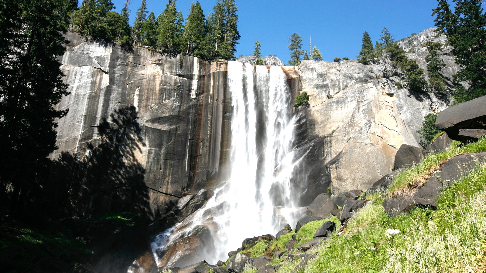 #13Best for the classic strenuous Valley waterfall route · #13 of 13
Vernal Fall and the Mist Trail
Waterfall HikeHappy Isles, Yosemite Valleyyear-round approach with seasonal routing and hazardsIncluded with Yosemite entryThe Mist Trail climbs beside the Merced River to Vernal Fall and continues toward Nevada Fall, delivering a close waterfall experience that is far more demanding than Lower Yosemite Fall.
Local tipCheck seasonal trail routing and closures, start early, bring traction and rain protection, stay behind barriers, and choose the footbridge turnaround if steep wet stone steps exceed the group's ability.
Where things cluster
Use Oakhurst for the museum and trip supplies; Bass Lake and Lewis Creek for a close recreation day; Fish Camp and Nelder Grove for the forest corridor; Wawona and Mariposa Grove for the south district; and Yosemite Valley or Glacier Point as a separate long outing.
- Oakhurst coreThe children's museum, supplies, dining, and Highway 41 orientation belong to the in-town block.
- Bass Lake and Lewis CreekLake recreation and the waterfall trail sit close enough for one local outdoor day when conditions cooperate.
- Fish Camp and Nelder GroveThe railroad and national-forest sequoias share the south-gateway corridor but use different roads and timing.
- Wawona and Mariposa GroveThe giant sequoias, history center, hotel, and Chilnualna trail form Yosemite's southern district.
- Yosemite Valley and Glacier PointTunnel View, Valley waterfalls, Mist Trail, and seasonal Glacier Point should be divided across realistic park days.
Make it a day
Choose the gateway or one Yosemite district
For a local day, reserve the Sugar Pine Railroad, then pair it with only Bass Lake, Lewis Creek, or the children's museum. For a park day, leave Oakhurst early, stop at Tunnel View, and keep the remaining time in Yosemite Valley. Mariposa Grove and Wawona form a different day and should replace, not follow, the Valley loop.
Give the south gateway and park their own days
Spend day one on the railroad plus Bass Lake or Lewis Creek, or use Nelder Grove when its road is suitable. Spend day two inside Yosemite: either Mariposa Grove, the history center, and Wawona; or Tunnel View, Lower Yosemite Fall, and one Valley walk. Add Glacier Point or the Mist Trail only by removing another major stop.
Map
Best time to visit
F
M
A
M
J
J
A
S
O
N
D
Late spring through early fall offers the broadest road, shuttle, railroad, lake, and trail access. Spring favors waterfalls; summer adds heat, wildfire smoke, and congestion; autumn shortens daylight and waterfall flow. Winter can suit Oakhurst and Wawona, but chains, snow, and seasonal closures should shrink the plan.
Staying over? Compare hotels in Oakhurst at Expedia.
Deep Arrival earns a commission when you buy through partner links. It does not change the price you pay.
Oakhurst things to do FAQ
Timing, cost, access, and trip shape answers for a smoother visit.
What is Oakhurst, California best known for?
Oakhurst is best known as a Highway 41 gateway to Yosemite's South Entrance. It also gives travelers direct access to Bass Lake, the Yosemite Mountain Sugar Pine Railroad, Lewis Creek, Nelder Grove, a children's museum, and the food, fuel, lodging, and services needed before entering the park.
How many days do you need in Oakhurst?
Three days is a practical first stay: one for Oakhurst, Bass Lake, or Lewis Creek; one for the railroad, Nelder Grove, Mariposa Grove, and Wawona as access allows; and one for Yosemite Valley. Add another day for Glacier Point, Chilnualna Falls, or the Mist Trail instead of stacking those long outings.
Can you visit Yosemite from Oakhurst in one day?
Yes, but choose one park district. A south-district day can cover Mariposa Grove and Wawona; a Valley day can use Tunnel View, Lower Yosemite Fall, and one meadow or river stop. Glacier Point and strenuous waterfall hikes should not be automatic add-ons after a late Valley arrival.
What can families do near Oakhurst without a hard hike?
Families can use the children's museum, a booked railroad excursion, selected Bass Lake picnic or shoreline areas, the lower portion of Mariposa Grove when transportation is operating, the Pioneer Yosemite History Center grounds, Tunnel View, and the accessible eastern approach to Lower Yosemite Fall.
What should you check before driving from Oakhurst into Yosemite?
Check Yosemite's current conditions, entrance requirements, Wawona and Glacier Point road status, Mariposa Grove transportation, wildfire smoke, weather, chains, shuttle operation, parking guidance, and the exact trail notice. Download the route because mobile coverage is unreliable on mountain roads.
Is Oakhurst worth visiting if you are not entering Yosemite?
Yes. Bass Lake, the heritage railroad, Children's Museum of the Sierra, Lewis Creek, and Nelder Grove can fill a two-day gateway trip outside the national park. Access is still seasonal, and national-forest roads, fire restrictions, lake operations, and trail conditions need current checks.
Keep planning
Use the Yosemite park and airport guides to lock access before departure, then extend south only when Sequoia or Kings Canyon has its own overnight and mountain-road time.
Image credits. Hero: niiicedave / Flickr / CC BY-SA 2.0. 1 Yosemite Mountain Sugar Pine Railroad: Capt' Gorgeous / Wikimedia Commons / CC BY 2.0. 2 Bass Lake: Guywelch2000 / Wikimedia Commons / CC BY-SA 4.0. 3 Children's Museum of the Sierra: schnaars / Flickr / CC BY-SA 2.0. 4 Lewis Creek National Recreation Trail: John William Hammond / Flickr / CC BY-SA 2.0. 5 Nelder Grove: Guywelch2000 / Wikimedia Commons / CC BY 4.0. 6 Mariposa Grove of Giant Sequoias: Bradley Weber / Wikimedia Commons / CC BY 2.0. 7 Pioneer Yosemite History Center: Ken Lund / Flickr / CC BY-SA 2.0. 8 Wawona Hotel: Ian A Gratton / Flickr / CC BY 2.0. 9 Chilnualna Falls Trail: btwashburn / Flickr / CC BY 2.0. 10 Tunnel View: Dllu / Wikimedia Commons / CC BY-SA 4.0. 11 Glacier Point: G. Edward Johnson / Wikimedia Commons / CC BY 4.0. 12 Lower Yosemite Fall: Carleton Watkins / Wikimedia Commons / CC0. 13 Vernal Fall and the Mist Trail: Alex Proimos from Sydney, Australia / Wikimedia Commons / CC BY 2.0.