
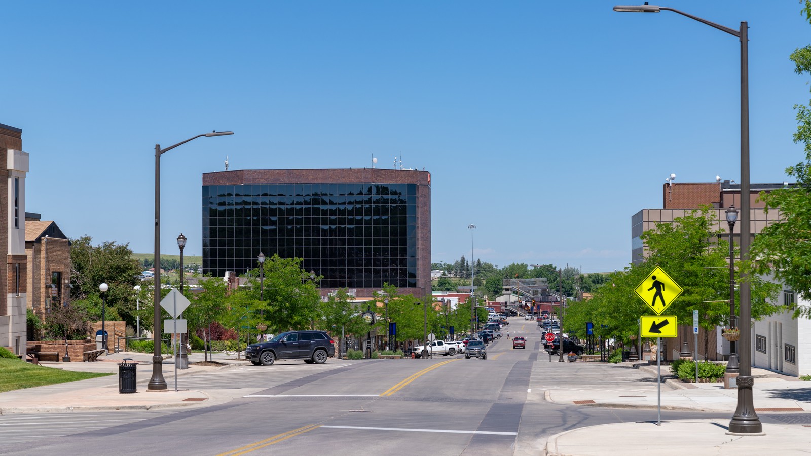
Gillette works best as an energy-and-prairie base rather than a checklist of interchangeable parks. Begin with the county museum, choose a mine tour or scheduled CAM-PLEX event, then use downtown and one city park as a compact local day. Devils Tower, Keyhole, Vore Buffalo Jump, Wright, and Thunder Basin each require a separate regional block.
The top 13, ranked
The first ranks explain Gillette through county history, the Powder River Basin, and one major Black Hills landmark. Later ranks add a scheduled event, two different city parks, archaeology, downtown architecture, a campus visit, southern Campbell County history, and a public-grassland route without repeating the same visitor role.
- Top pick
 #1Best for the clearest introduction to Campbell County · #1 of 13
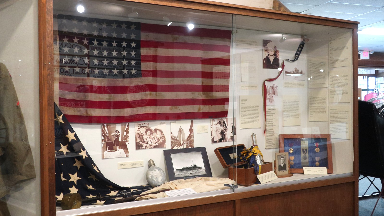
Campbell County Rockpile Museum
County History MuseumWest Second Streetcurrent museum hours vary by day and seasonFreeThe county museum turns Gillette's ranching, homesteading, railroad, fossil, and energy history into a strong first stop, with indoor exhibits and an outdoor equipment collection anchored by the namesake rock pile.
Local tipStart here before the mine and downtown stops so the coal, railroad, and settlement stories have context. Confirm the museum calendar if a family program or research visit matters to the day.
- Top pick
 #2Best for a full Black Hills gateway day · #2 of 13
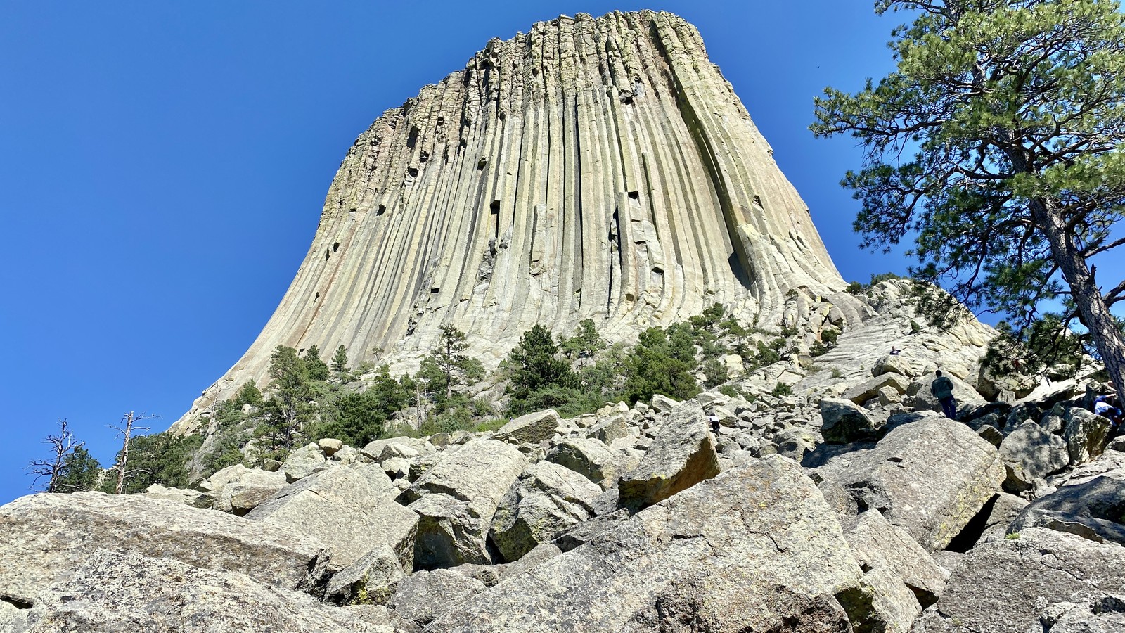
Devils Tower National Monument
National Monumentabout 65 miles northeastpark access and services vary by season and conditionsFederal entrance feeThe volcanic monolith, paved base path, longer trails, climbing history, and Indigenous cultural significance make Devils Tower the strongest full regional outing from Gillette.
Local tipLeave early, check National Park Service alerts and current fees, carry water, and keep wildlife distance. Stay on public trails and respect seasonal climbing guidance and culturally sensitive areas.
- Top pick
 #3Best for Gillette's defining energy-industry experience · #3 of 13
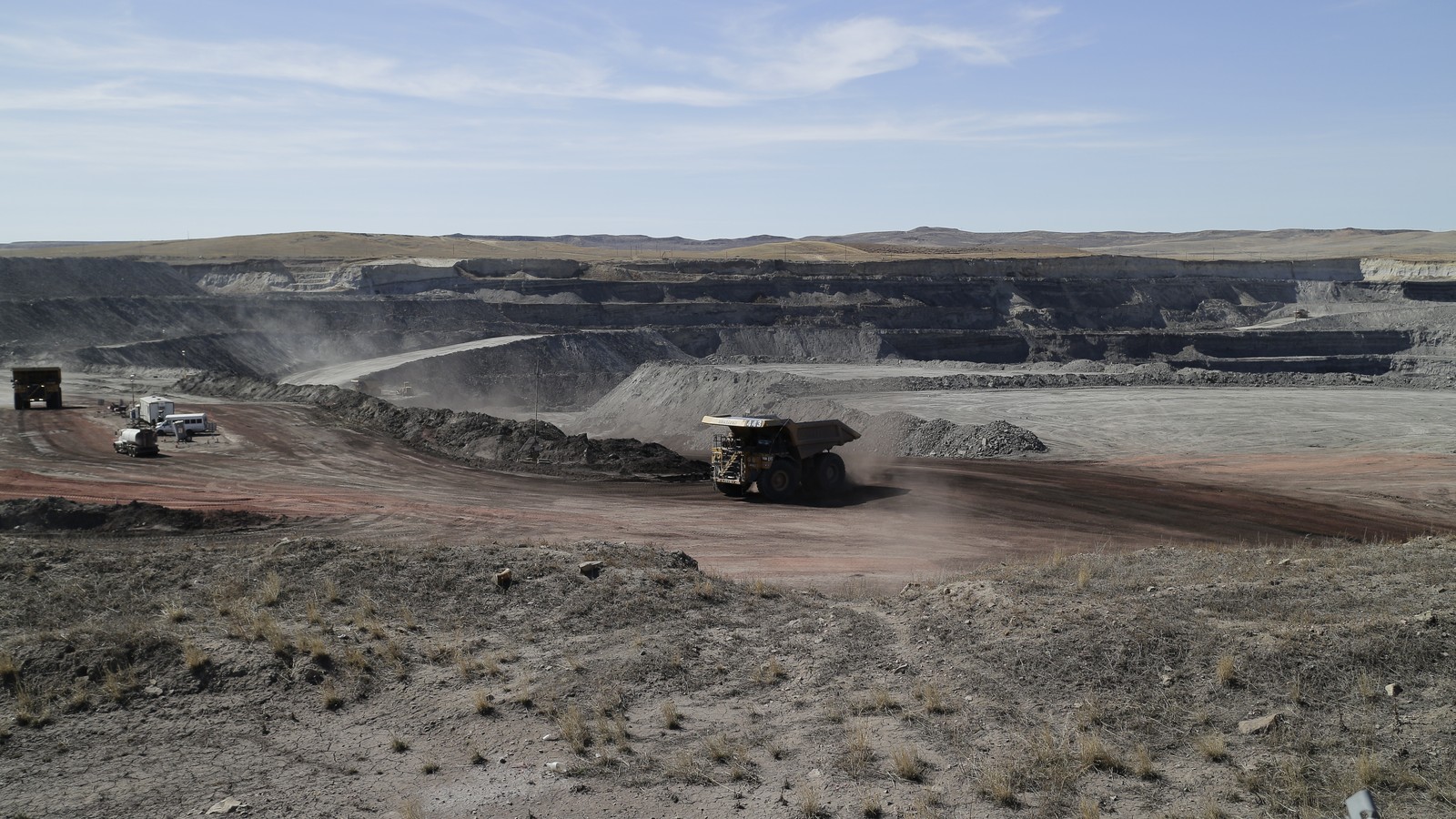
Eagle Butte Coal Mine Tour
Guided Industrial Tournorth of Gilletteseasonal scheduled tours only$15 tourA scheduled visitor-center tour gives travelers a close look at Powder River Basin equipment, exposed coal seams, rail loading, and land reclamation in the industry that shaped modern Gillette.
Local tipBook through the destination office before arrival and verify the operating mine, departure point, age rules, footwear, identification, and photography restrictions. Do not drive to mine property without the tour.
-
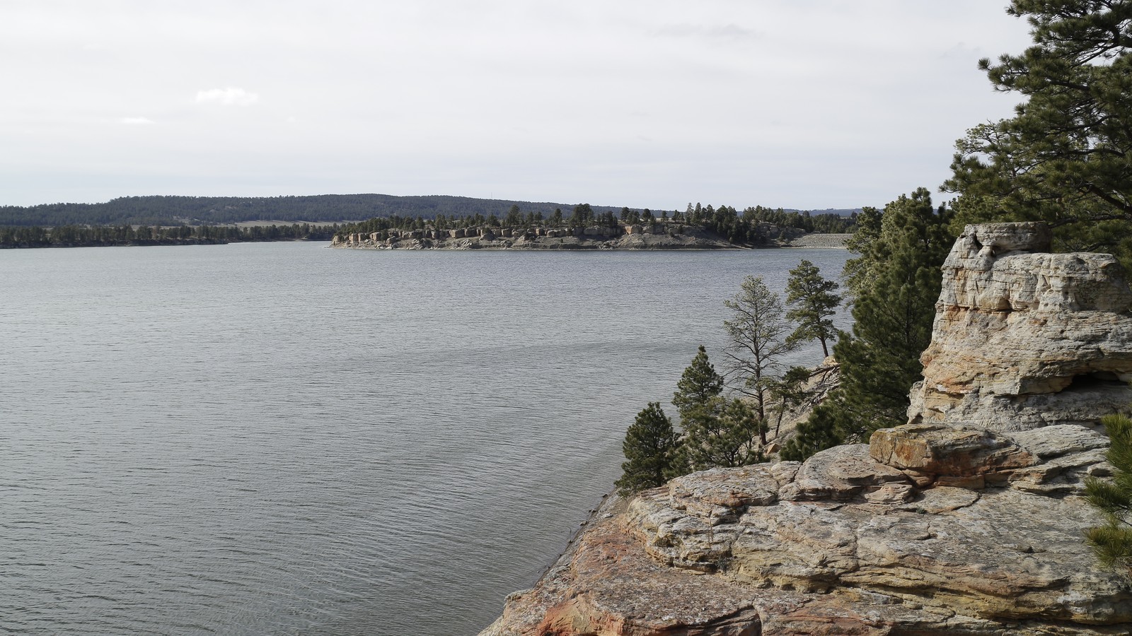 #4Best for a reservoir recreation day · #4 of 13
Keyhole State Park
Reservoir State Parkabout 45 miles eastday use and camping follow current park conditionsState park feeThe reservoir adds boating, fishing, swimming, camping, birding, and open-water scenery to a Gillette itinerary that otherwise leans heavily toward museums and prairie history.
Local tipCheck Wyoming State Parks alerts, water conditions, fire restrictions, camping availability, boat rules, and current fees before the drive. Shoreline access and services can shift with water level and season.
-
 #5Best for a scheduled local event · #5 of 13
CAM-PLEX Multi-Event Facilities
Event and Arts Complexeast Gilletteevent access only; calendar variesTicket varies by eventThe large county complex hosts rodeo, equestrian, trade, concert, theater, sports, and community events, making it a useful trip anchor only when a specific current program is on the calendar.
Local tipChoose the event first, then confirm the exact building, ticket, parking entrance, bag rules, and start time. The grounds alone are not a substitute for an announced public event.
-
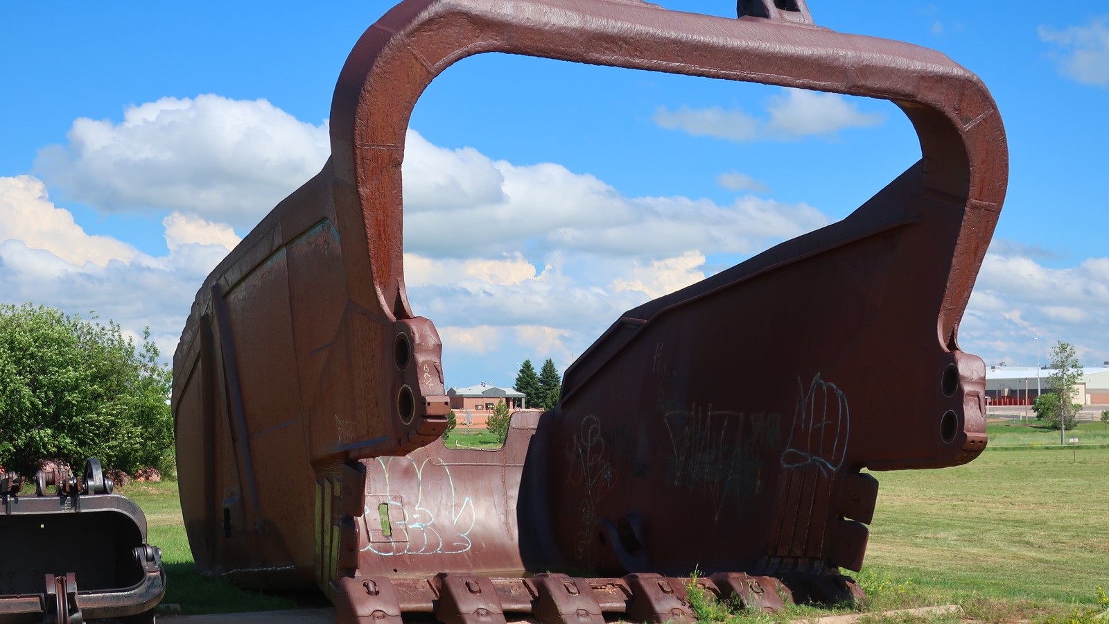 #6Best for an up-close machinery stop · #6 of 13
High Plains Energy Equipment Display
Outdoor Industrial ExhibitReata Drive at the visitor centeroutdoor display; visitor-center support hours varyFreeRetired coal, oil, gas, and railroad machinery lets visitors compare the scale and mechanics of Campbell County's working industries without entering an active mine or waiting for a guided tour.
Local tipConfirm visitor-center access, posted climbing rules, and any temporary closures before arrival. Treat the equipment as a short interpretive stop, supervise children closely, and keep it separate from the longer mine-tour experience.
-
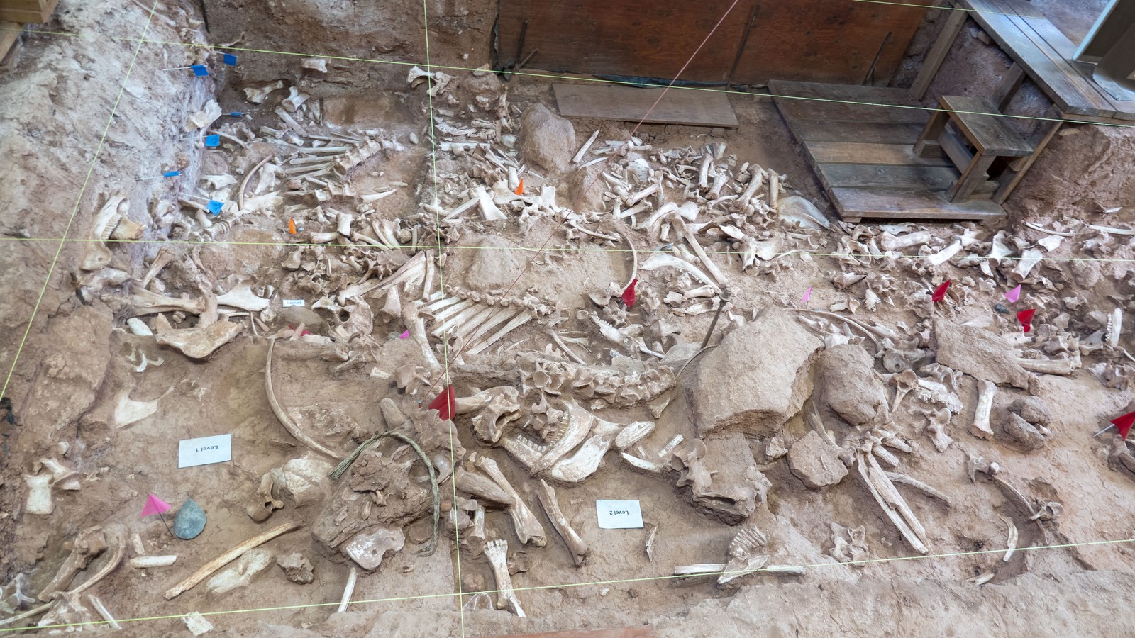 #7Best for a focused Plains archaeology visit · #7 of 13
Vore Buffalo Jump
Archaeological Siteabout 45 miles east near Beulahlimited seasonal opening and guided interpretationAdmission feeA visitor center and active archaeological site interpret the communal bison hunts of Plains peoples through the deep bone bed, excavation history, and carefully framed cultural context.
Local tipVerify the limited seasonal schedule before leaving Gillette. Allow time for the stairs or grade into the sinkhole, follow site rules, and use the interpretation rather than approaching the stop as a roadside photo only.
-
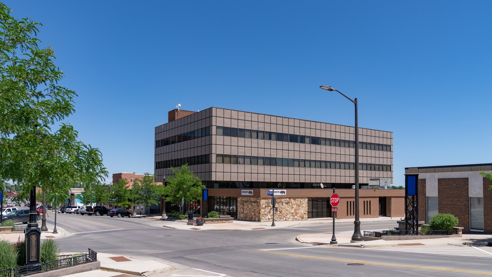 #8Best for a compact downtown orientation · #8 of 13
Historic Downtown Gillette Walking Tour
Self-Guided Downtown WalkGillette Avenue corepublic streets daily; businesses set individual hoursFree to exploreThe compact core combines railroad-era blocks, civic architecture, murals, shops, cafes, and public art in the easiest park-once section of a Gillette visit.
Local tipOpen the current walking-tour material before setting out, use posted parking rules, and confirm businesses independently. Treat private historic buildings as exterior stops and pair this walk with the post office rather than moving the car twice.
-
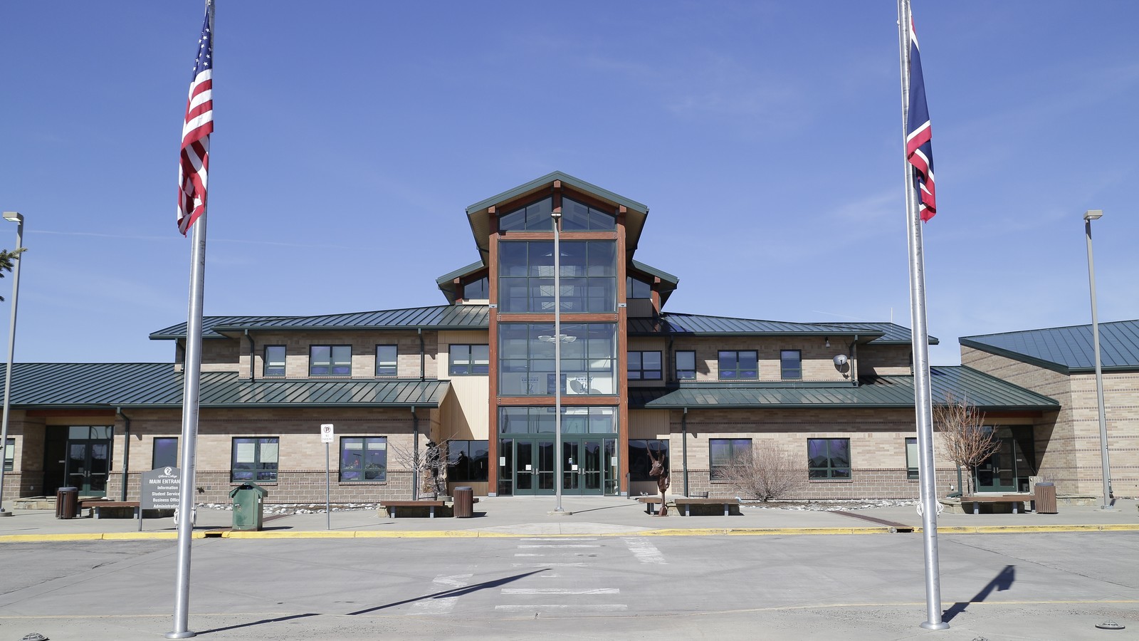 #9Best for a planned college visit · #9 of 13
Gillette College Campus
Scheduled Campus VisitSinclair Street and College Drivecampus access daily; formal tours require an appointmentFree exterior visitThe community-college campus shows a newer side of Gillette through its main academic building, health sciences center, technical education facilities, and public-facing college events.
Local tipArrange a formal visit through the college when admissions or building access matters. For an exterior look, stay in public areas, use visitor parking, and avoid residence halls, classes, and athletics spaces without permission.
-
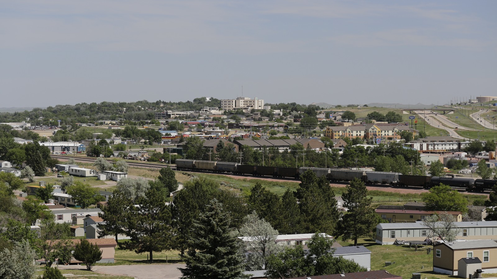 #10Best for a short elevated city view · #10 of 13
Overlook Park
Neighborhood Viewpoint ParkGoldenrod Avenuecity park hours and posted conditionsFreeThis hillside neighborhood park supplies a broad view across Gillette plus a shelter, playground, path, and half basketball court, giving photographers and families a short city-scale overlook.
Local tipUse the park during daylight, follow posted neighborhood rules, keep noise low, and do not expect a staffed scenic attraction. Haze, smoke, or winter weather can limit the view even when the park is open.
-
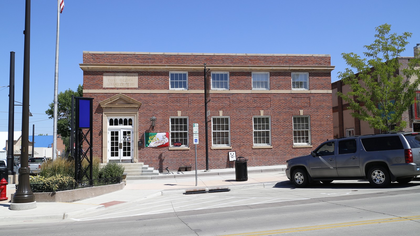 #11Best for a short New Deal architecture stop · #11 of 13
Historic Gillette Post Office
New Deal Civic LandmarkSouth Kendrick Avenueexterior visible daily; lobby follows postal hoursFree exterior visitThe 1935 brick post office is a compact downtown architecture stop tied to federal building programs and Gillette's growth from railroad town to regional service center.
Local tipPlan an exterior look around normal postal business. If you enter for postal service, respect the working lobby, customers, security rules, and any restrictions on photography.
-
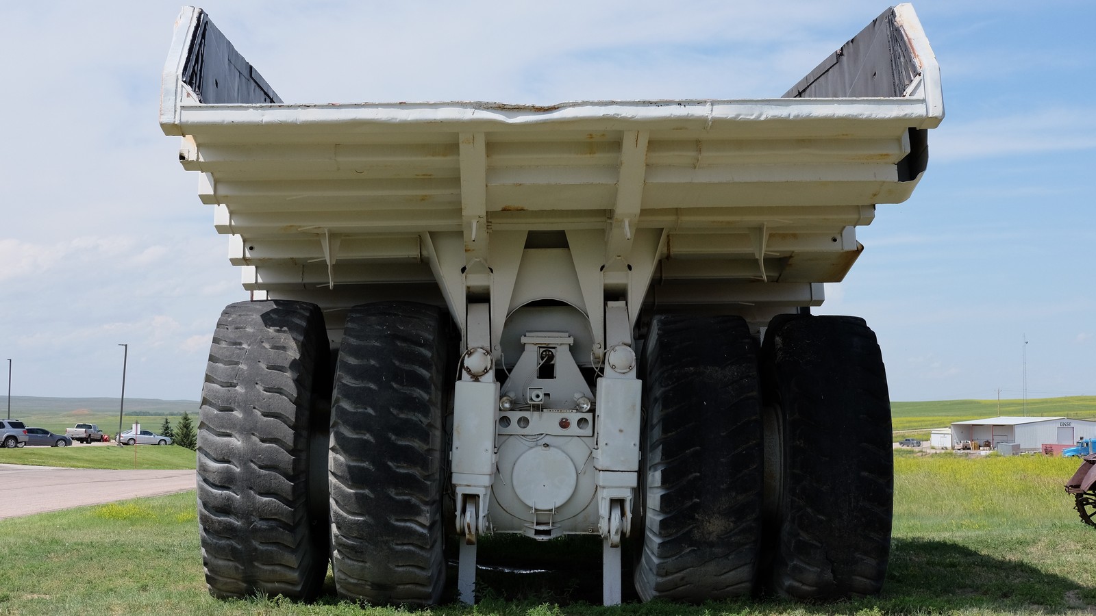 #12Best for southern Campbell County history · #12 of 13
Wright Centennial Museum
Southern Campbell County MuseumWright, about 40 miles southlimited museum schedule; verify before departureFree or donationHomesteading, ranching, military, town, and energy exhibits broaden the county story beyond Gillette, while the retired seven-ton coal haul truck gives the small museum a memorable outdoor landmark.
Local tipCall or verify the current schedule before driving south. Combine the museum with another Wright or Thunder Basin stop, and do not assume the outdoor equipment display means the building is open.
-
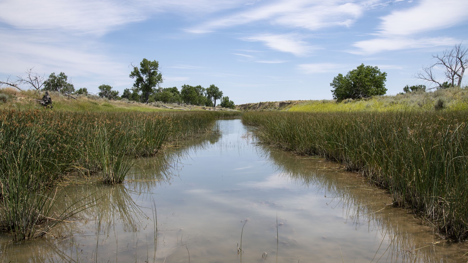 #13Best for a carefully planned prairie outing · #13 of 13
Thunder Basin National Grassland
Public Grassland Landscapenorth and south of Gilletteyear-round access subject to roads, weather, fire, and use restrictionsFreeThe federal grassland adds open prairie, wildlife viewing, dispersed landscapes, and designated recreation around Weston Reservoir, about 30 miles north of Gillette, to the region's mine and ranching story.
Local tipUse the Forest Service's Weston Recreation Area directions rather than wandering across the checkerboard of public and private land. Check fire restrictions, road conditions, OHV width and sticker rules, and current shooting restrictions.
Where things cluster
Park once between the Rockpile Museum and downtown for history and architecture. Use the Reata Drive side of town for CAM-PLEX and the equipment display, then choose the campus or Overlook Park as a separate local add-on. The mine, Wright, Thunder Basin, Keyhole, Vore Buffalo Jump, and Devils Tower are directional excursions with their own access checks.
- Downtown and West Second StreetThe Rockpile Museum, historic core, and post office form the strongest park-once history cluster.
- East GilletteCAM-PLEX and the High Plains Energy Equipment Display share the Reata Drive corridor but require different event and drop-in plans.
- South campus and Wright corridorGillette College is local; Wright Centennial Museum becomes a separate county drive.
- Eastern Black Hills corridorKeyhole, Vore Buffalo Jump, and Devils Tower can share a direction but not a rushed single morning.
- Powder River Basin public landsThe mine tour and Thunder Basin require current access rules and precise directions through working landscapes.
Make it a day
Learn the energy story, then use one compact city cluster
Begin at the Rockpile Museum, where ranching, railroad, and coal exhibits establish why Gillette developed here. Continue into downtown for the walking route and post office exterior, then choose the High Plains Energy Equipment Display for scale or Overlook Park for a short elevated view. Replace that sequence with a mine tour or CAM-PLEX event when a fixed reservation controls the day.
Pair a local Gillette day with one regional landscape
Use the first day for the Rockpile Museum, downtown, the post office, and either the equipment display, Overlook Park, the college, or a scheduled event. Give the second day to exactly one major route: Devils Tower, Keyhole State Park, Vore Buffalo Jump, Wright, Thunder Basin, or a confirmed mine tour. Combining several produces more windshield time than visitor value.
Map
Best time to visit
F
M
A
M
J
J
A
S
O
N
D
Late spring through early fall gives the broadest combination of mine tours, museum schedules, reservoir use, prairie roads, and national-monument hiking. Summer sun, thunderstorms, wildfire smoke, and event weekends affect timing; winter favors local indoor stops but can narrow regional access.
Staying over? Compare hotels in Gillette at Expedia.
Deep Arrival earns a commission when you buy through partner links. It does not change the price you pay.
Gillette things to do FAQ
Timing, cost, access, and trip shape answers for a smoother visit.
What is Gillette, Wyoming best known for?
Gillette is best known as a center of Powder River Basin coal production and as a gateway between the Black Hills and the Bighorn Mountains. The Rockpile Museum, a scheduled mine tour, downtown, and the surrounding prairie explain the city better than a generic stop between larger parks.
How many days do you need in Gillette?
One full day covers the Rockpile Museum, downtown, the post office exterior, and either Dalbey Park, Overlook Park, or a scheduled CAM-PLEX event. Add a second day for a mine tour or one regional route. Devils Tower, Keyhole, Vore Buffalo Jump, Wright, and Thunder Basin should not all be compressed together.
Can you tour a coal mine in Gillette?
Seasonal guided mine tours may be booked through Visit Gillette and Wright, with transportation, schedules, prices, participating operations, age rules, and security requirements subject to change. Confirm the exact departure and operating mine before travel, and never enter mine property independently.
What can families do in Gillette?
Families can use the Rockpile Museum, High Plains Energy Equipment Display, an age-appropriate CAM-PLEX event, the college campus visit, and Overlook Park. Keyhole and Devils Tower work for prepared outdoor groups, while mine tours, archaeological terrain, water, and OHV areas require closer age and safety checks.
What can you do for free in Gillette?
The Rockpile Museum, downtown walk, post office exterior, Gillette College exterior spaces, High Plains Energy Equipment Display, and Overlook Park can be free. Wright Centennial Museum may be free or donation based. Mine tours, events, state parks, lodging, rentals, and some regional attractions have separate costs.
What should you verify before a Gillette trip?
Confirm museum and mine-tour schedules, CAM-PLEX event access, park improvement notices, state and federal alerts, water and fire conditions, prairie road status, public-private land boundaries, OHV rules, and every regional stop's current hours. Long distances and working industrial landscapes make same-day verification essential.
Keep planning
Rapid City is the most natural Black Hills continuation. Bozeman, Sioux Falls, and Omaha are longer road-trip extensions with different museum, outdoor, and family priorities, so none should be treated as a quick Gillette side trip.
Image credits. Hero: Tony Webster / Wikimedia Commons / CC BY 2.0. 1 Campbell County Rockpile Museum: Mr. Satterly / Wikimedia Commons / CC0. 2 Devils Tower National Monument: w_lemay / Wikimedia Commons / CC BY-SA 2.0. 3 Eagle Butte Coal Mine Tour: Mr. Satterly / Wikimedia Commons / CC0. 4 Keyhole State Park: Mr. Satterly / Wikimedia Commons / CC0. 5 CAM-PLEX Multi-Event Facilities: Tony Webster / Wikimedia Commons / CC BY 2.0. 6 High Plains Energy Equipment Display: Mr. Satterly / Wikimedia Commons / CC0. 7 Vore Buffalo Jump: Strange Biology / Wikimedia Commons / CC BY 2.0. 8 Historic Downtown Gillette Walking Tour: Tony Webster / Wikimedia Commons / CC BY 2.0. 9 Gillette College Campus: Mr. Satterly / Wikimedia Commons / CC0. 10 Overlook Park: Mr. Satterly / Wikimedia Commons / CC0. 11 Historic Gillette Post Office: Mr. Satterly / Wikimedia Commons / CC0. 12 Wright Centennial Museum: Mr. Satterly / Wikimedia Commons / CC0. 13 Thunder Basin National Grassland: Lance Cheung / U.S. Department of Agriculture / Public domain.