
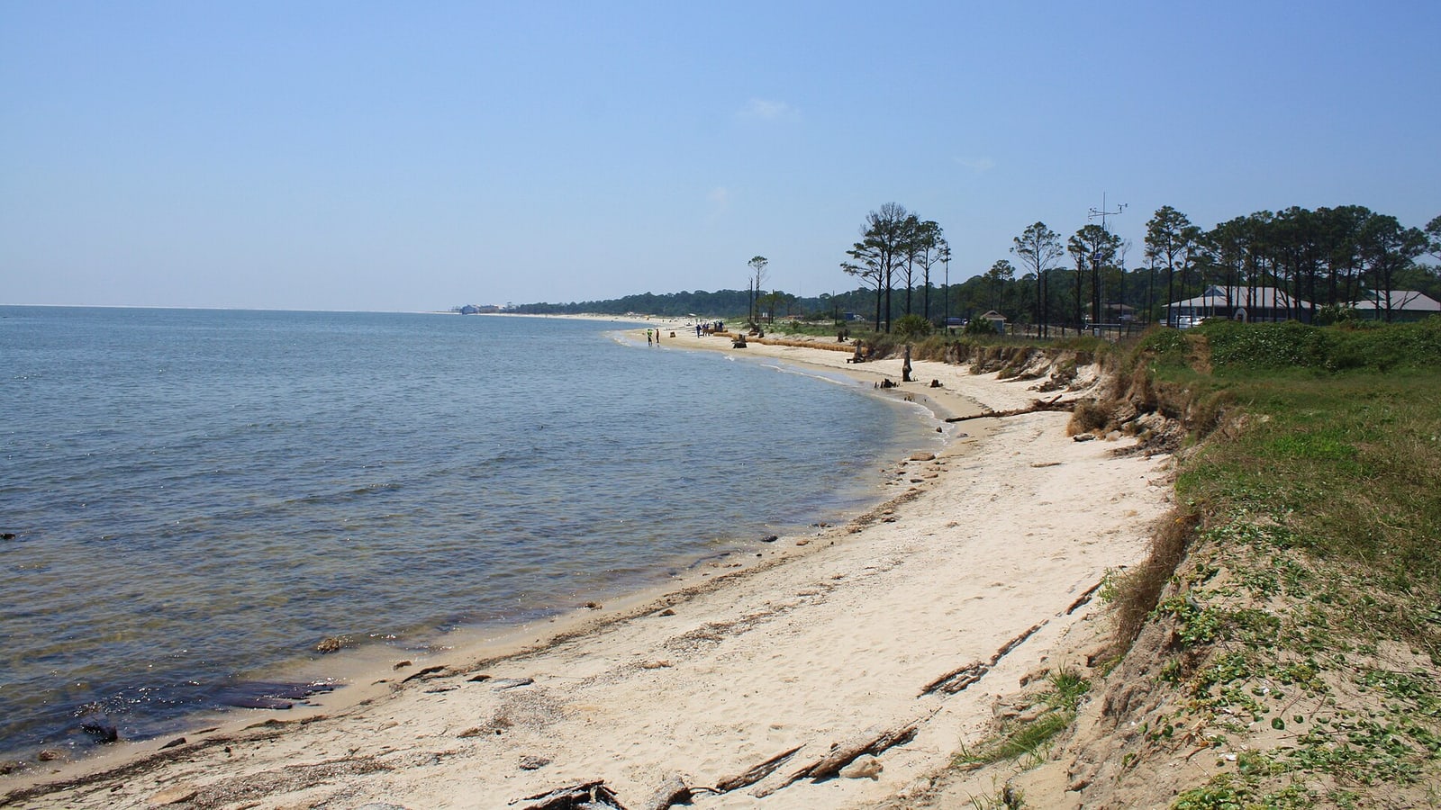
10 Things to Do in Dauphin Island, Ranked
An east-to-west island plan that starts with marine science and history, keeps wildlife and beach conditions honest, and treats the ferry as a route decision.
Ranked by source consensus and editor review.
The top 10, ranked
Ranked for island identity, useful route order, weather resilience, exact access, family fit, and a clear difference between Gulf, bay, fort, forest, and ferry time.
- Top pick
 #1Best for families, coastal ecology, and a weather-proof anchor · #1 of 10
Alabama Aquarium
marine science centerEast endHours, admission, programs, and temporary exhibit access are published by the Sea Lab.TicketedThe Alabama Aquarium interprets the Gulf of Mexico and Mobile Bay through living habitats, research context, and a shoreline setting tied directly to the Sea Lab. It leads because it explains the water, wildlife, and barrier-island systems visitors will encounter elsewhere instead of functioning as a generic indoor diversion. Place it before the bird sanctuary or east-end beach so the route stays compact and the ecology carries into the outdoor stops. Admission products, exhibit access, programs, and weather-sensitive outdoor components can change, so the current aquarium page controls the visit.
Local tipCheck the day's admission window and program notices before crossing onto the island, then allow enough time for both exhibits and the outdoor edge.
Skip ifSkip it only when the aquarium is closed or the group wants a short beach-only visit with no indoor block.
- Top pick
 #2Best for military history, architecture, and Mobile Bay views · #2 of 10
Fort Gaines
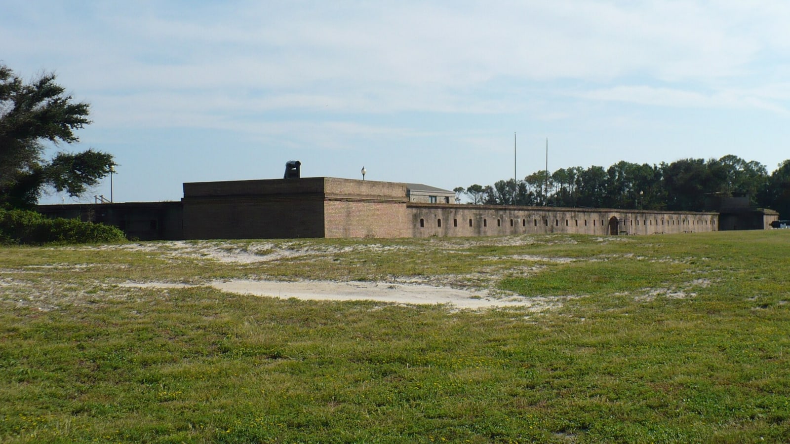
historic fortEast endOperating hours, admission, programs, and accessible routes require a current check.TicketedFort Gaines occupies the island's east end and preserves masonry, tunnels, artillery spaces, and views across the Mobile Bay entrance. It ranks second because the site gives the island a specific historical identity while remaining close enough to combine with the aquarium without a second cross-island drive. Choose either a self-guided visit or a current scheduled program, then keep time for heat, stairs, uneven surfaces, and exterior viewpoints. Special events and restoration work can alter access, and the fort should not be reduced to a quick exterior photograph.
Local tipConfirm hours and event notices on the fort site, carry water, and ask staff which spaces are open before starting the circuit.
Skip ifSkip the full interior route when mobility, heat, storms, or a closure removes the spaces the group most wants to see.
- Top pick
 #3Best for birding, shaded walking, and migration seasons · #3 of 10
Audubon Bird Sanctuary
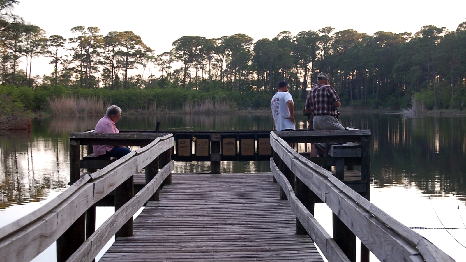
maritime forest sanctuaryEast endOutdoor access is condition dependent; verify notices and daylight before arrival.FreeThe sanctuary protects maritime forest, marsh, dune, and lake habitat along a network of paths near the island's east end. It ranks above the beaches for visitors who want the landscape to reveal how a barrier island supports migration rather than simply supplying sand. Pick one signed loop that matches heat and surface conditions, carry binoculars, and combine it with the aquarium or fort instead of driving west and back. Bird sightings are never guaranteed, insects and standing water vary, and storms can make even a short shaded route unpleasant or unsafe.
Local tipUse the town's current sanctuary guidance, stay on designated paths, bring repellent, and give wildlife quiet space rather than chasing a sighting.
Skip ifSkip the trails during lightning, flooding, extreme heat, or when the group needs a fully paved and climate-controlled experience.
-
 #4Best for sunset, swimming, and a longer beach block · #4 of 10
West End Beach
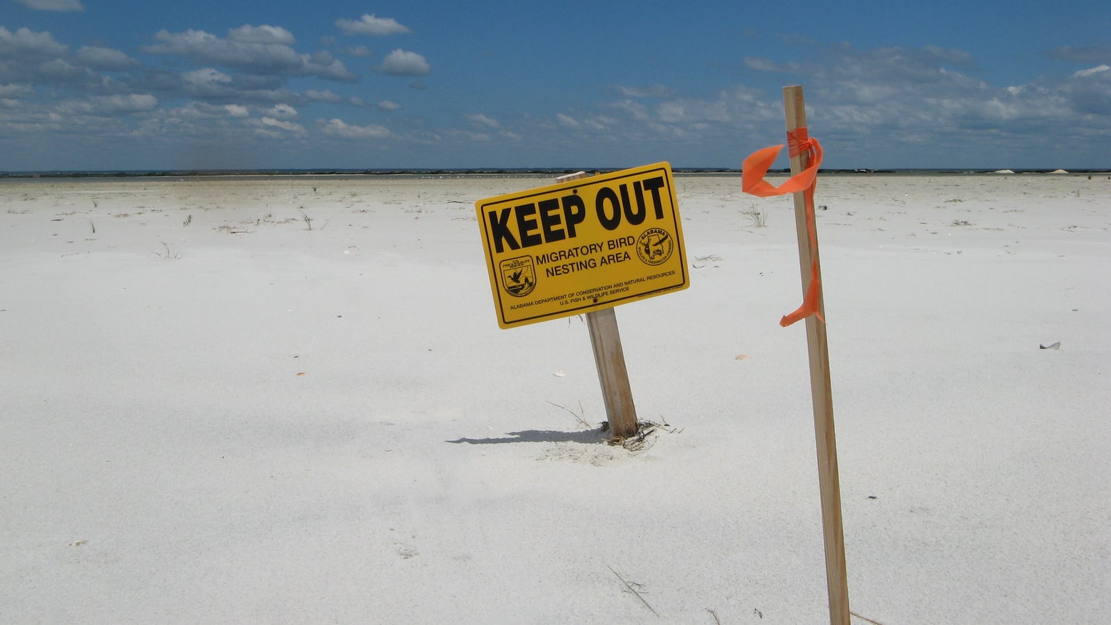
Gulf beachWest endSeasonal hours, fees, parking rules, and water conditions need same-day verification.Seasonal access or parking feeWest End Beach places visitors on the open-Gulf side of the barrier island with broad views and a very different setting from the protected east end. It earns a high rank when beach time is the purpose, but it is a separate westbound commitment rather than a spare hour after every other attraction. Choose it for a sustained beach or sunset block, account for the drive back, and preserve a weather alternative before paying or unloading. Rip currents, surf, heat, storms, seasonal rules, parking capacity, and changing shoreline conditions control whether the plan remains sensible.
Local tipRead the beach board's current status, swim only within posted rules, bring shade and water, and leave well before severe weather approaches.
Skip ifSkip it when warnings, lightning, strong current, full parking, or limited daylight removes the safe beach window.
-
 #5Best for short walks, old oaks, and local context · #5 of 10
Indian Shell Mound Park
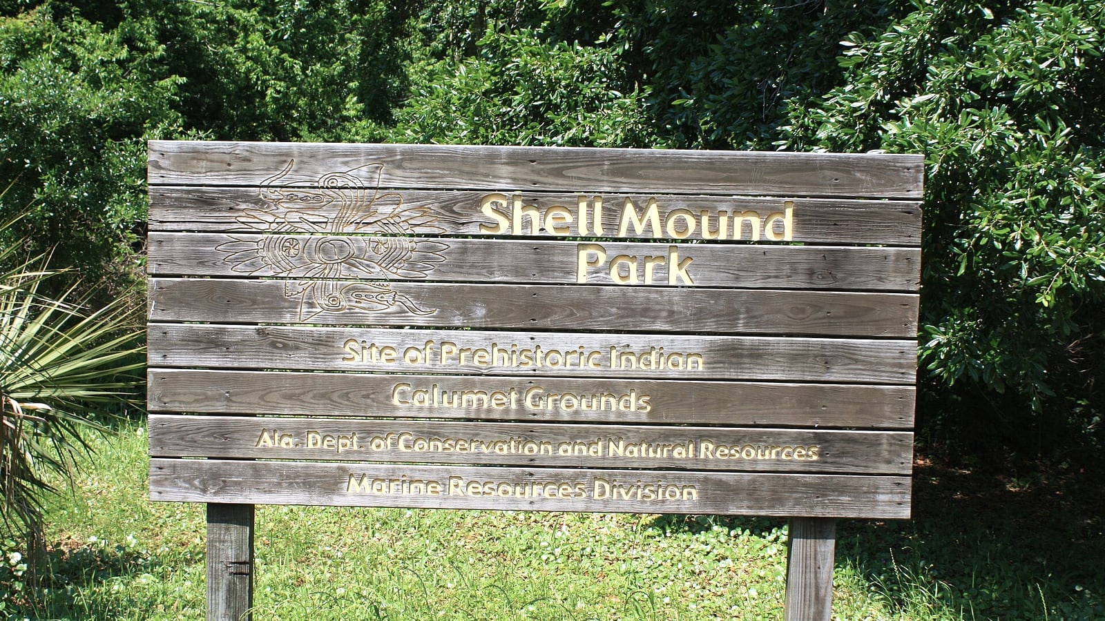
wooded archaeological landscapeCentral islandPublic outdoor access follows town rules and any posted maintenance notices.FreeIndian Shell Mound Park preserves a wooded landscape shaped by centuries of human use, with large live oaks and an unusually compact walk in the island's center. It belongs in the middle because the stop adds cultural and ecological texture without requiring the time or exposure of a full beach session. Use it between east- and west-end plans, remain on public paths, and treat archaeological material as protected context rather than a souvenir. The value is quiet observation; visitors expecting a conventional museum, sweeping vista, or long hike may find the stop too subtle.
Local tipRead posted interpretation, protect roots and habitat, and keep the visit short enough that it supports rather than fragments the island route.
Skip ifSkip it when saturated paths, mosquitoes, or limited mobility make a wooded trail the wrong fit.
-
 #6Best for a shorter beach stop beside the fort and aquarium · #6 of 10
Dauphin Island East End Beach
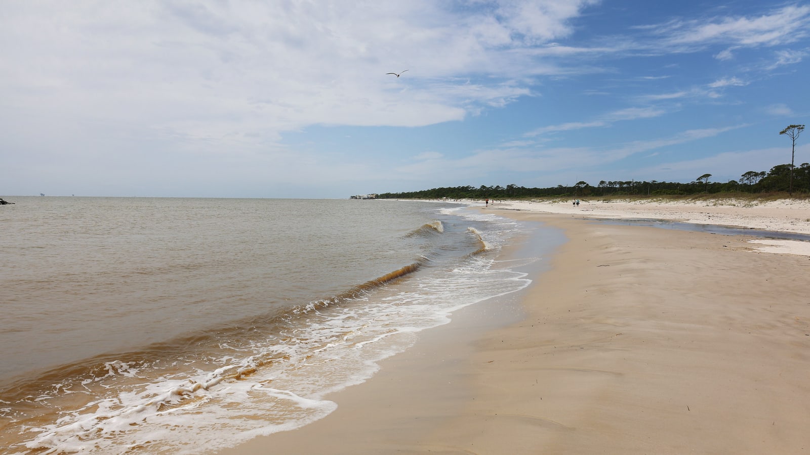
bay-mouth beachEast endParking, beach access, and water conditions require a current official check.Current parking termsThe east-end beach offers a shoreline block near Fort Gaines and the aquarium, with views toward the mouth of Mobile Bay and easier route pairing than the far west end. It ranks below West End as a beach destination but higher as a practical addition to an east-side history and science day. Confirm the legal access point, use the same east-end parking sequence where rules permit, and avoid making two beach stops unless conditions materially differ. Current, vessel traffic, wind, storms, erosion, and posted closures still matter even when the water looks calmer than the open Gulf.
Local tipCheck the beach board status, follow every swim and wildlife instruction, and keep children well clear of channels and working waterfront boundaries.
Skip ifSkip it when the group already has a full West End block or when posted conditions remove safe shoreline access.
-
 #7Best for mid-century architecture, golf, and a deliberate beach-access choice · #7 of 10
Isle Dauphine Complex
Gulf-front recreation complexEast-central Gulf shoreHours, rates, passes, pool eligibility, parking, and activity access require a same-day operator check.Activity-dependentThe Isle Dauphine Complex combines a distinctive mid-century Gulf-front clubhouse with a public golf course and separately controlled beach and pool access products. It earns a place because the architecture and coastal recreation are specific to the island, but the different activities do not share one universal walk-in entitlement. Choose golf, paid beach access, or an architecture-focused exterior stop before arrival, then read the current access product instead of assuming club facilities are public. Golf days, maintenance, weather, private functions, membership rules, and beach or pool access products can change independently.
Local tipUse the town's current complex page and the operator linked there, confirm the chosen activity and payment method, and follow posted parking boundaries.
Skip ifSkip it when the desired activity is unavailable or when the group already has a stronger beach or golf commitment elsewhere in the route.
-
 #8Best for maritime history, binocular viewing, and a short east-end pause · #8 of 10
Sand Island Lighthouse viewpoint
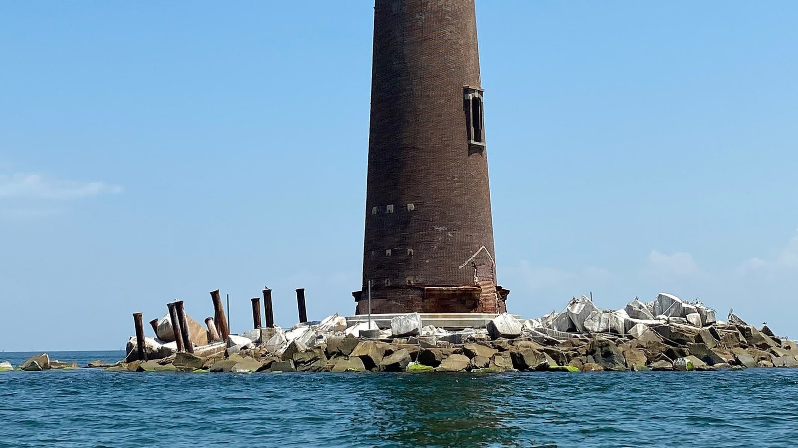
offshore maritime landmarkMobile Bay entranceThis ranking promises only responsible viewing from a legal public area; it does not promise landing, entry, or boat service.Free from legal shore viewpointsSand Island Light stands offshore at the mouth of Mobile Bay and gives the island's east-end landscape a precise navigation and preservation story. The useful visitor experience is a shore-based look in clear conditions, not an implied walk-up attraction or unsourced promise of landing, entry, or tours. Look from a legal public east-end viewpoint with binoculars, pair it with Fort Gaines, and keep the stop short when haze or weather removes the sightline. Distance, haze, glare, storms, vessel traffic, shoreline boundaries, and restoration work can make the lighthouse difficult to see or inaccessible.
Local tipUse the federal historic record for identity, obey current town and waterfront boundaries, and book no boat access unless a current lawful operator separately proves it.
Skip ifSkip it when visibility is poor, access boundaries are unclear, or the group expects an interior lighthouse visit.
-
 #9Best for a scenic route connection and Fort Morgan pairing · #9 of 10
Mobile Bay Ferry crossing
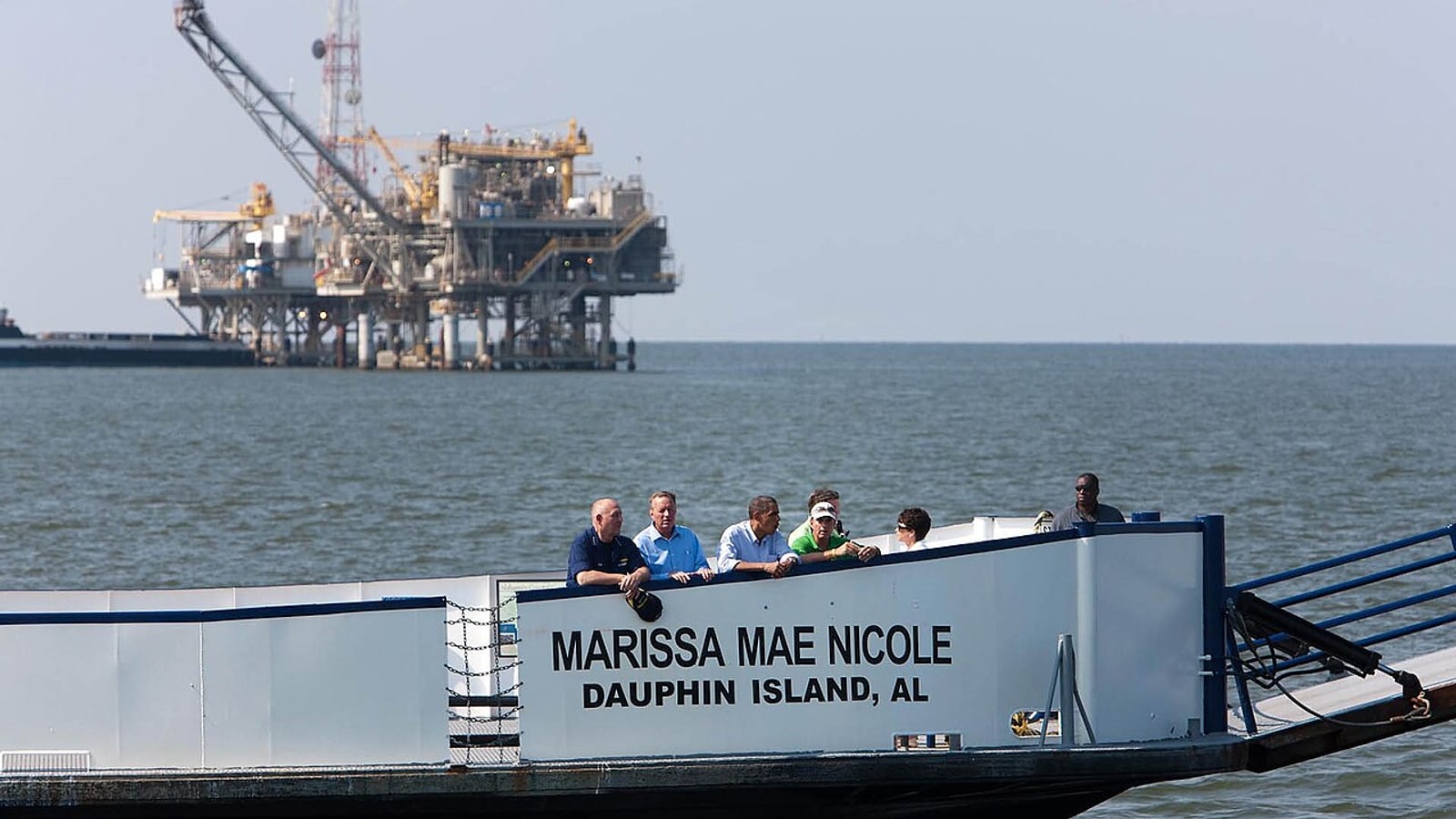
vehicle and passenger ferryEast-end terminalSailing times, fares, vehicle rules, and operational status require same-day confirmation.TicketedThe Mobile Bay Ferry links Dauphin Island with Fort Morgan across the mouth of the bay and can turn the island into part of a coastal loop. It ranks as an optional route experience, not required transport, because schedules, queues, weather, vehicle dimensions, and the return plan dominate its usefulness. Decide before the island day whether the crossing replaces a long road segment or adds Fort Morgan; never assume a late standby space will preserve the itinerary. Wind, mechanical issues, seasonal frequency, dangerous goods rules, and vehicle limits can change service with little room for improvisation.
Local tipRead the live schedule and fare rules, arrive within the operator's stated window, and keep a drivable fallback that does not depend on sailing.
Skip ifSkip it when a fixed reservation, severe weather, or uncertain return connection makes the ferry a fragile link.
-
 #10Best for an unusual shoreline walk, a picnic, and quick Gulf access · #10 of 10
Dauphin Island Pier walk
sightseeing and picnic pierCentral Gulf shoreCurrent town guidance says the adapted pier is free and closes daily at sundown; same-day notices control access.FreeThe town explains that shoreline migration has left the former fishing pier on dry land; it is now adapted for sightseeing and picnicking, with steps at the end for Gulf-shore access. The stop closes the ranking because that altered landscape is locally distinctive and easy to understand, but it should never be sold as the over-water fishing pier shown in old travel material. Use the current town entrance, walk only the open structure, and treat the beach steps as a short shoreline option rather than another full beach session. The pier closes at sundown, while storms, heat, maintenance, sand movement, and beach conditions can further narrow a visit.
Local tipCheck the town's current listing and posted boundaries, bring shade and water, and leave the structure before the daily sundown closure.
Skip ifSkip it when the structure or steps are closed, severe weather is approaching, or the group already has enough exposed shoreline time.
Where things cluster
A quick orientation so you can group stops instead of crossing Dauphin Island twice.
- East endGroup the Alabama Aquarium, Fort Gaines, sanctuary, lighthouse viewpoint, ferry terminal, and east-end shore so one arrival supports science, history, and nature without repeated island drives.
- Central islandUse Shell Mound, the adapted town pier, services, and lodging as the flexible bridge between the island's two more exposed ends.
- West endCommit to the west end for a sustained Gulf beach or sunset block only after checking weather, water, parking, access, and the return.
- Mainland branchTreat a Mobile Bay Ferry crossing as a transport-and-route choice with buffers, not an automatic attraction squeezed between fixed island stops.
Make it a day
Move once from east to west
Begin with the Alabama Aquarium, tour Fort Gaines, then choose the Audubon sanctuary or east-end beach according to weather and energy. Use central island for food or a shaded pause; drive west only for a deliberate beach or sunset finish.
Separate ecology and beach time
Keep day one to the east-end science, history, sanctuary, lighthouse-viewing, and shoreline cluster. Give day two to West End Beach plus Shell Mound and one chosen Isle Dauphine activity, or replace that sequence with a confirmed ferry-based coastal loop.
Anchor the day in marine science
Anchor the day at the aquarium, add only the accessible portions of Fort Gaines and one short sanctuary or beach block, then use Shell Mound or lodging as a shaded reset. Adults own water, heat, lightning, wildlife, ferry, and turnaround decisions.
Before you go
The practical choices that most often change the order, cost, or comfort of a Dauphin Island day.
Choose an island end
The fort, aquarium, sanctuary, and ferry cluster on the east end; West End Beach deserves its own sustained block rather than repeated cross-island driving.
Water conditions outrank plans
A sunny forecast does not settle rip currents, lightning, wind, tides, ferry operation, or Gulf exposure. Check the specific marine and beach notices.
Keep the ferry optional
The crossing can improve a coastal loop only when schedule, capacity, weather, vehicle rules, and the onward route are all confirmed.
Crossing the island repeatedly
Cluster aquarium, fort, sanctuary, ferry, and east-end shore before committing to a separate west-end beach block.
Assuming all beaches behave alike
Gulf and bay-facing access points differ, while rip current, storm, tide, parking, and closure conditions can change by location.
Treating wildlife as scheduled
Migration improves the odds but never promises a sighting. Protect habitat and let the walk remain worthwhile without a checklist result.
Building the day around a ferry assumption
Verify the live sailing, capacity, vehicle, weather, and return plan before allowing the crossing to control reservations.
Map
Best time to visit
F
M
A
M
J
J
A
S
O
N
D
Spring aligns comfortable temperatures with major bird migration, while fall can offer another strong wildlife and beach window. Summer brings heat, thunderstorms, tropical weather risk, insects, and stronger demand. Winter is quieter but some services narrow. In every season, rip-current statements, marine forecasts, ferry status, tides, beach access, and institution schedules need same-day verification.
Staying over? Compare hotels in Dauphin Island at Expedia.
Deep Arrival earns a commission when you buy through partner links. It does not change the price you pay.
Dauphin Island things to do FAQ
Direct answers to the choices that most often change a first visit.
How many days do you need on Dauphin Island?
One full day can cover the aquarium, Fort Gaines, and either the bird sanctuary or a beach. Two days allow a separate west-end block and a slower central-island route. A ferry crossing should replace part of the itinerary, not be added automatically. Reserve the west-end drive or ferry crossing only after the day's beach and sailing notices are known.
What are the best free things to do on Dauphin Island?
The Audubon Bird Sanctuary, Shell Mound landscape, selected town parks, public views, and some shoreline access can form a strong free route. Parking or seasonal beach charges may apply at particular entrances, so confirm the exact access point rather than assuming every beach is free. The adapted town pier is free for sightseeing, but current guidance says it closes at sundown.
Is Dauphin Island good for families?
Yes when the plan uses the aquarium as an anchor and scales the fort, sanctuary, park, and beach time to weather and ability. Adults should control water entry, heat exposure, insect protection, historical-site surfaces, and the return from the island's far ends. A central shaded reset is usually more useful than forcing a second exposed shoreline stop.
Can you visit Dauphin Island without taking the ferry?
Yes. The island is connected to the mainland by road, and the Mobile Bay Ferry is an optional link toward Fort Morgan. Use the ferry only when the live schedule, weather, vehicle rules, and onward route improve the trip. Road access also gives the group a dependable return when a sailing changes or fills.
When is bird migration on Dauphin Island?
Spring and fall are the major migration seasons, but wildlife presence varies by date, weather, habitat, and luck. Use current birding information, remain on designated paths, and build a worthwhile sanctuary walk that does not depend on seeing one species. Spring timing can improve variety, yet a quiet habitat-first walk remains the responsible plan.
Which end of Dauphin Island should you visit first?
The east end works best for the aquarium, Fort Gaines, sanctuary, ferry terminal, and a compact first-visit cluster. The west end is better reserved for a longer Gulf beach or sunset block. Central parks and services connect the two. Choose the first end around fixed opening times, then protect one flexible weather-dependent block.
Keep planning
Use these nearby guides to extend your Dauphin Island trip with a different pace and a clear next stop.
Image credits. Hero: Altairisfar (Jeffrey Reed) / Wikimedia Commons / CC BY-SA 3.0. 1 Alabama Aquarium: Abductive / Wikimedia Commons / CC0. 2 Fort Gaines: Altairisfar / Wikimedia Commons / Public domain. 3 Audubon Bird Sanctuary: Unknown author Unknown author or not provided / Wikimedia Commons / Public domain. 4 West End Beach: USFWS/Southeast / Flickr / CC BY 2.0. 5 Indian Shell Mound Park: Altairisfar (Jeffrey Reed) / Wikimedia Commons / CC BY-SA 3.0. 6 Dauphin Island East End Beach: Alabama Extension / Flickr / CC0 1.0. 7 Isle Dauphine Complex: rossograph / Wikimedia Commons / CC BY-SA 4.0. 8 Sand Island Lighthouse viewpoint: Teaves0921 / Wikimedia Commons / CC BY-SA 4.0. 9 Mobile Bay Ferry crossing: Official White House Photo by Chuck Kennedy / Wikimedia Commons / Public domain. 10 Dauphin Island Pier walk: HeatherMarieKosur / Wikimedia Commons / CC BY-SA 4.0.