
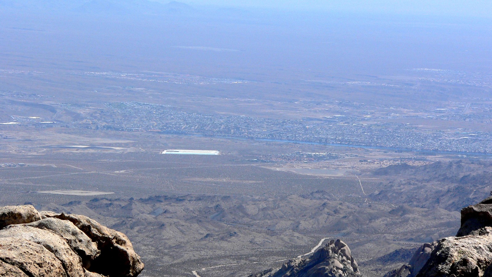
Bullhead City planning starts with its Colorado River waterfront, local museum, Davis Dam, Lake Mohave, and Katherine Landing. Immediate Laughlin stops and a restrained set of desert, Route 66, and wildlife outings add range without pretending that distant Arizona attractions are in town.
The top 13, ranked
Bullhead City rankings use official sources for Colorado River Historical Society Museum, Bullhead City Colorado River Waterfront, and the wider set below; confirm current admission, access, and seasonal notices on each linked operator page.
- Top pick
 #1Best for Bullhead City's strongest history stop · #1 of 13
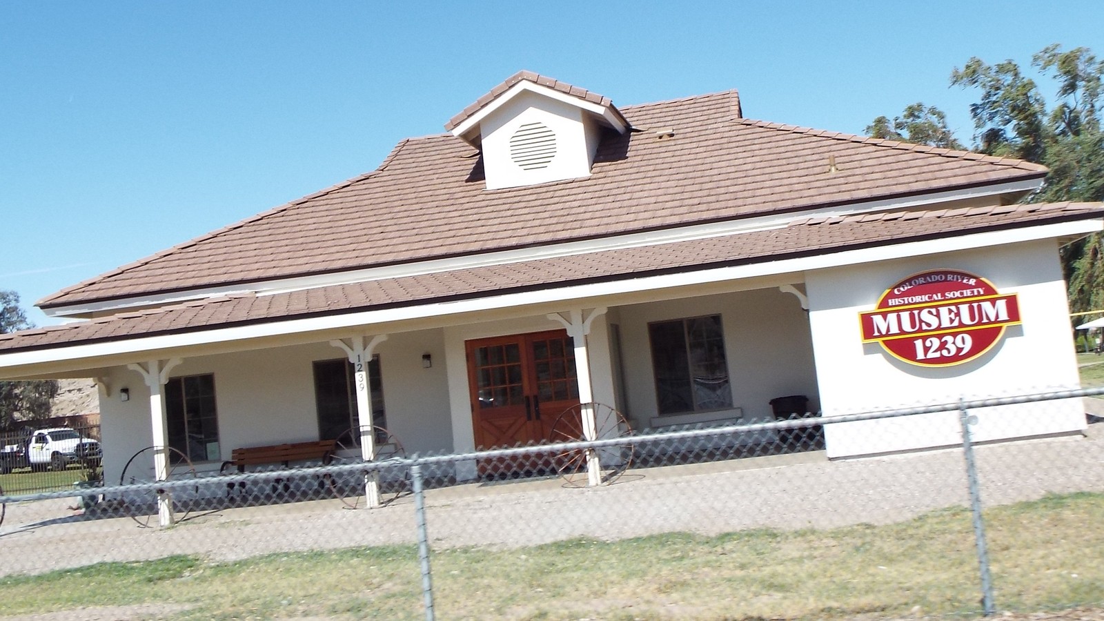
Colorado River Historical Society Museum
Local History MuseumHighway 95limited daytime museum hoursDonation encouragedA volunteer-run museum, schoolhouse, mining headframe, artifacts, and exhibits explain how the Lower Colorado River and tri-state communities developed.
Local tipCall ahead because volunteer staffing and seasonal hours can change. Treat the museum as a focused history stop rather than an all-day attraction.
- Top pick
 #2Best for a flexible local river block · #2 of 13
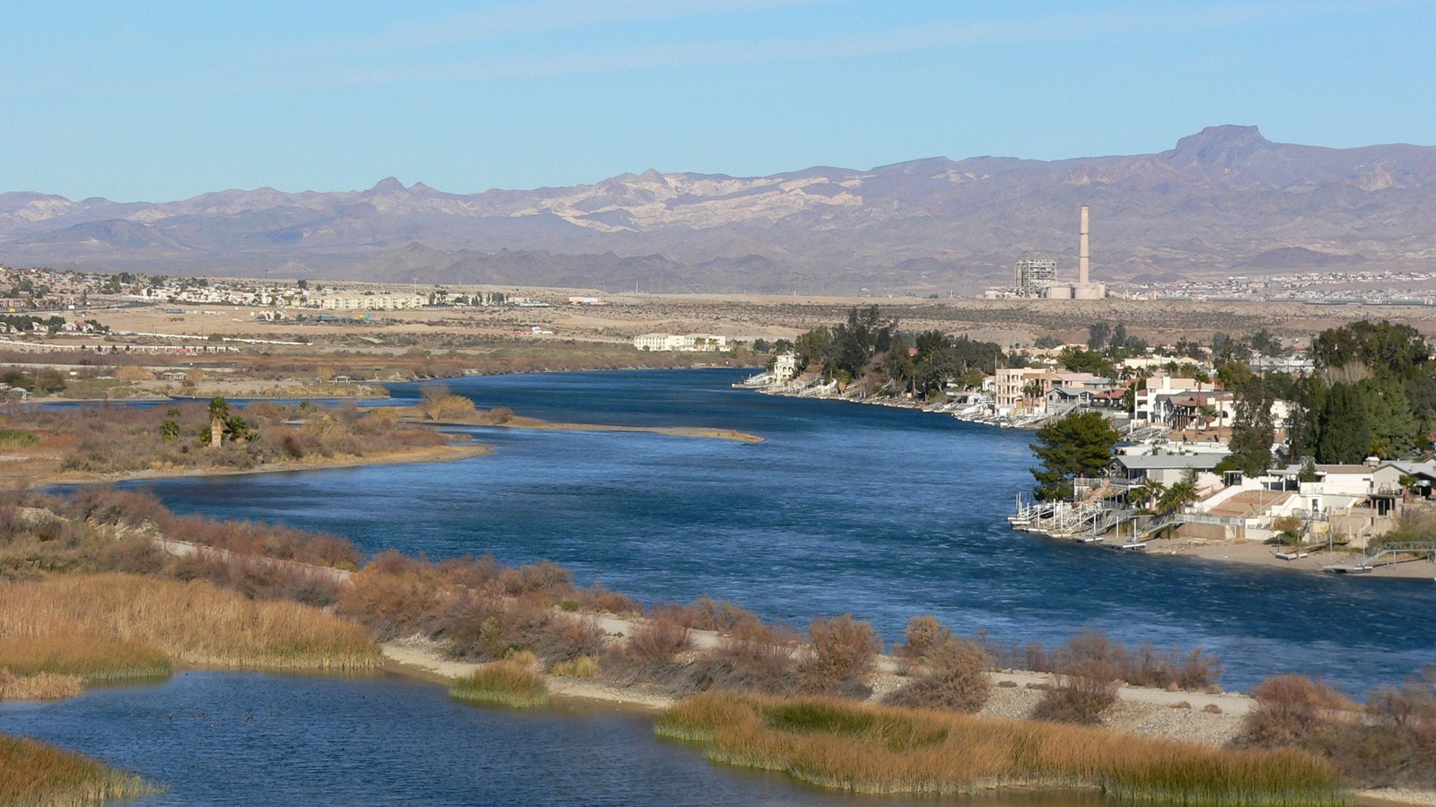
Bullhead City Colorado River Waterfront
Riverfront RecreationBullhead City shorelineparks generally daily; water conditions varyFree access or seasonal parking feeBullhead City's parks and beaches turn its long Colorado River edge into the city's defining place for picnics, views, launches, and warm-weather water time.
Local tipChoose a named city park or access point before arrival. Water releases, current, heat, parking fees, boat traffic, and swimming conditions require a specific plan.
- Top pick
 #3Best for river engineering and Lake Mohave context · #3 of 13
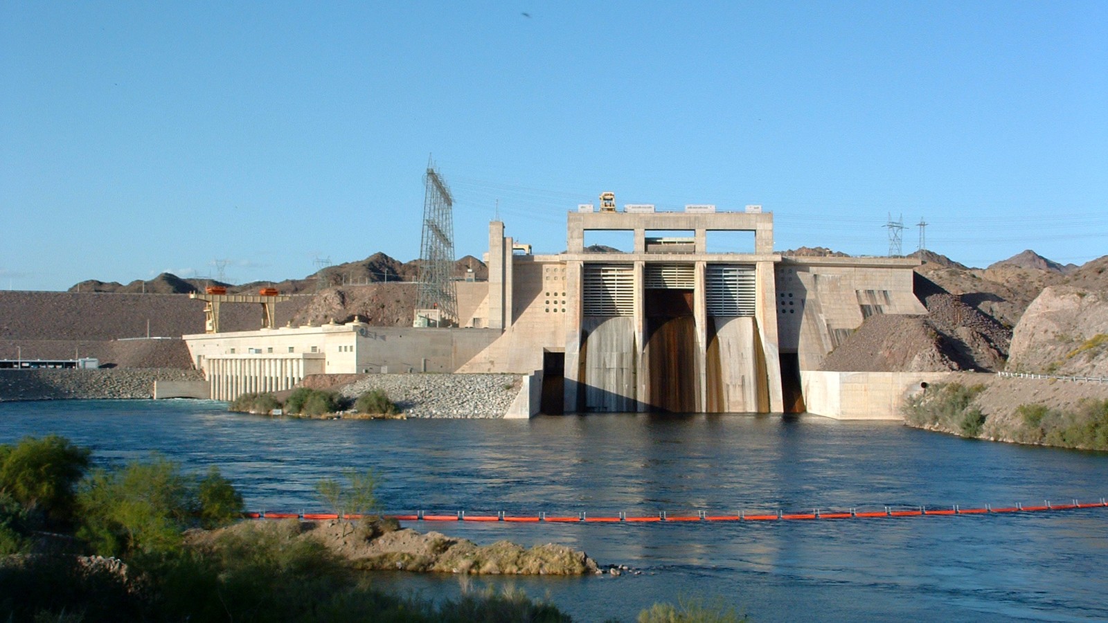
Davis Dam
Engineering LandmarkNorth of Bullhead Cityexterior viewpoints; access restrictions applyFreeThe earth-fill dam regulates the Colorado River, creates Lake Mohave, and gives the north end of Bullhead City a major engineering and landscape landmark.
Local tipThe powerplant is not a routine walk-in attraction and the roadway is closed to public traffic. Use legal overlooks, trails, and current agency guidance rather than approaching restricted structures.
-
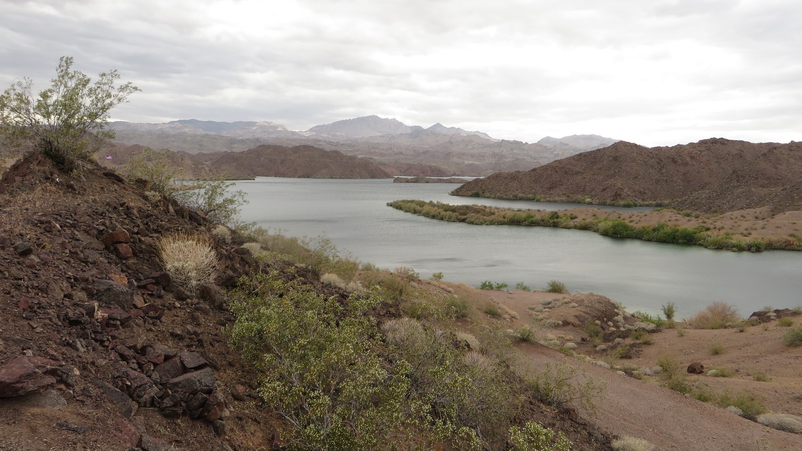 #4Best for the area's primary lake day · #4 of 13
Lake Mohave
Reservoir RecreationLake Mead National Recreation Areayear-round water; services and safe use varyPark, launch, or rental fees may applyThe long reservoir above Davis Dam supports boating, paddling, fishing, beaches, coves, and desert scenery immediately north of the city.
Local tipPick a launch or marina and verify wind, water level, temperature, fees, invasive-species rules, and fuel. The lake is too large for an unplanned shoreline drive.
-
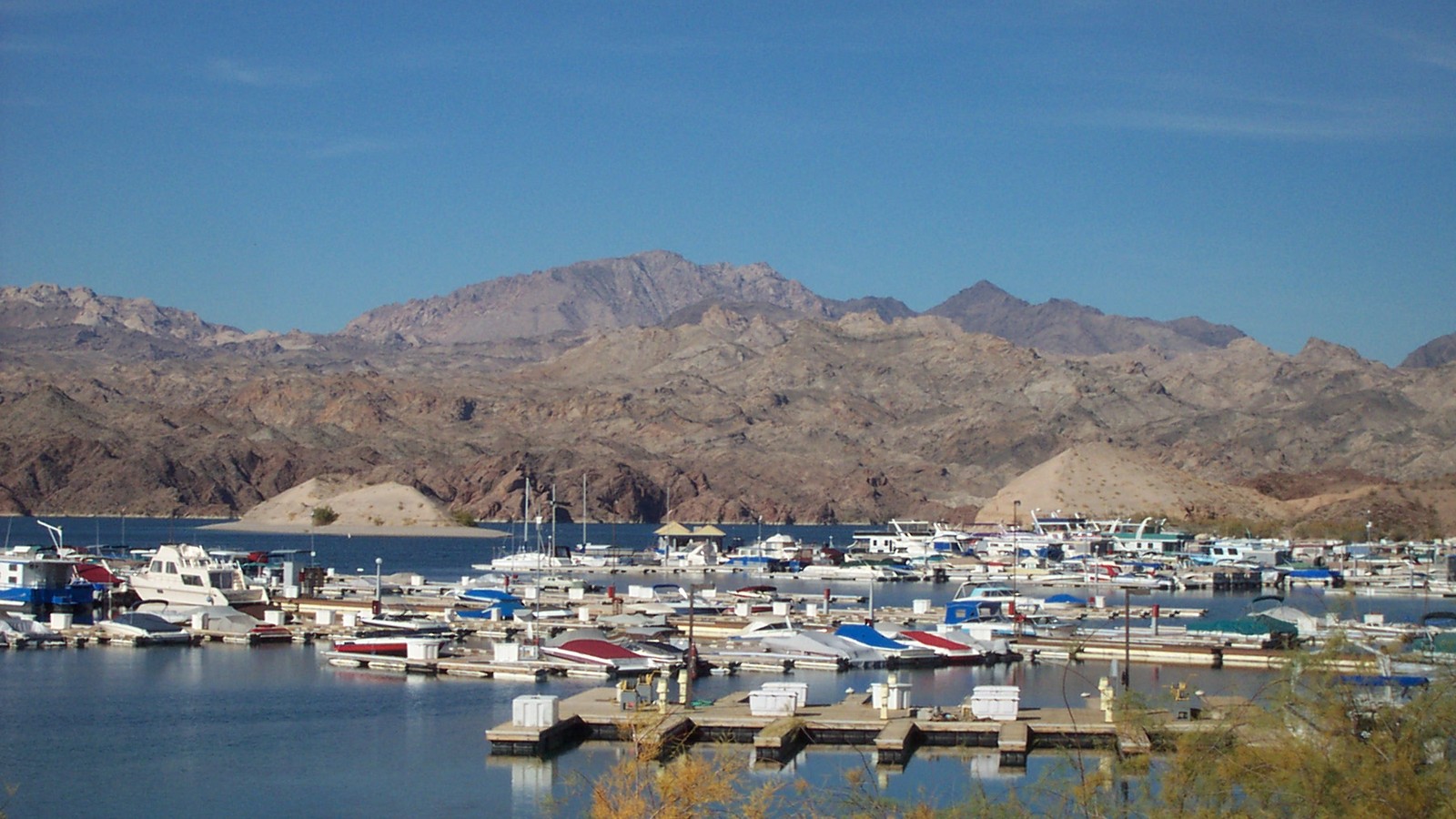 #5Best for the easiest developed Lake Mohave base · #5 of 13
Katherine Landing
Marina and Lake AccessLake Mohaveservices follow current park and concession schedulesPark and activity feesA developed Lake Mohave access point combines marina services, boat launches, camping, rentals, beaches, and nearby desert trails just above Davis Dam.
Local tipReserve boats or camping early, confirm current launch conditions, and bring sun protection and water. Marina services do not remove desert-weather or open-water risks.
-
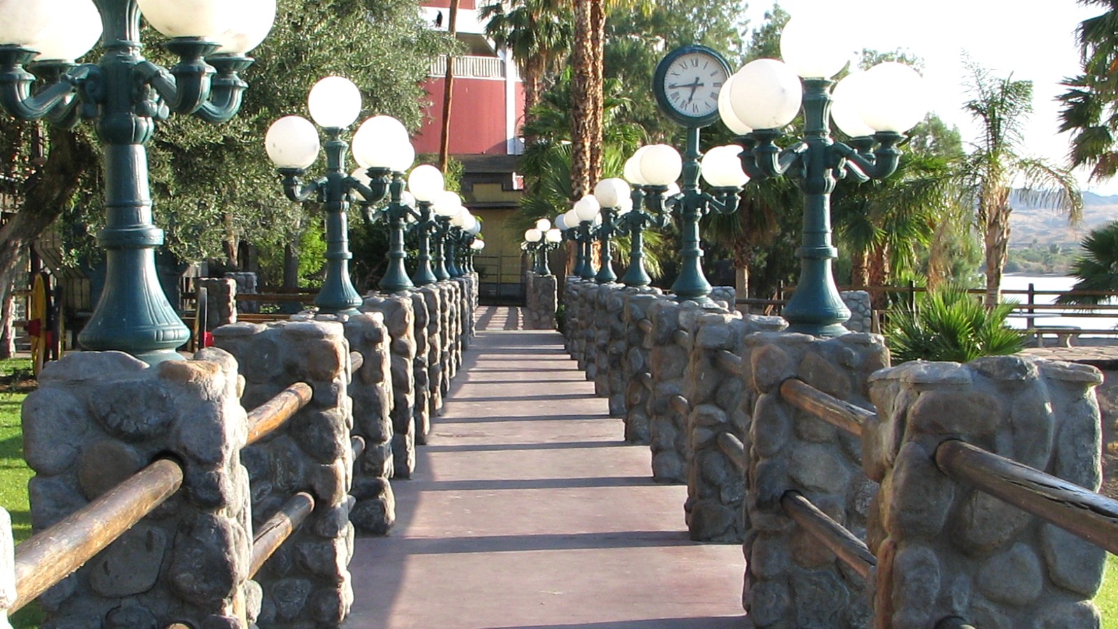 #6Best for an easy cross-river stroll · #6 of 13
Laughlin Riverwalk
Waterfront WalkLaughlin resort corridoropen access; individual resort connections varyFreeThe paved walk across the river links resort entrances with repeated Colorado River views and provides a low-commitment orientation to neighboring Laughlin.
Local tipSections may be sunny, busy, or interrupted by property work and river conditions. Walk in cooler hours and decide in advance where to park and turn around.
-
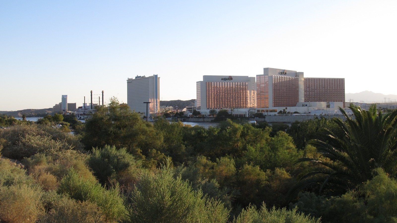 #7Best for nearby dining and evening entertainment · #7 of 13
Laughlin Resort Corridor
Entertainment DistrictCasino Driveindividual businesses set hoursFree to browse; activities varyThe compact line of riverfront resorts supplies restaurants, live entertainment, gaming, pools, and indoor relief from desert heat directly across from Bullhead City.
Local tipCheck exact venue calendars, age rules, resort access, parking, and responsible-gaming needs. A corridor visit works best when anchored to one meal, show, or property.
-
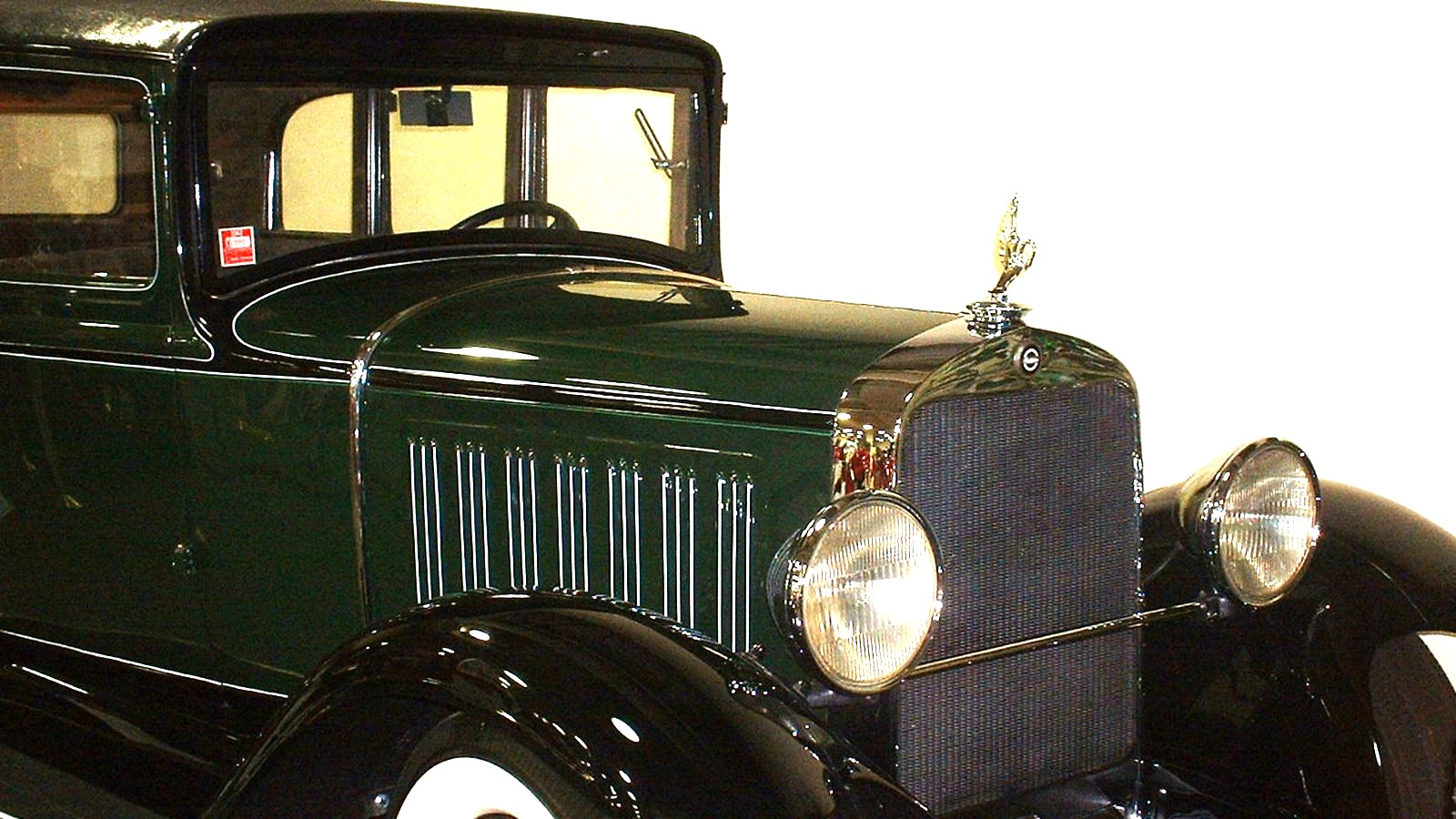 #8Best for a focused vintage-car stop · #8 of 13
Don Laughlin's Classic Car Museums
Automobile MuseumRiverside Resortdaily resort museum hours may changeFreeMore than eighty historic, rare, and special-interest vehicles create a concentrated indoor collection inside the Riverside Resort complex.
Local tipConfirm current exhibit hours and location within the resort. The museum is family-viewable, but reaching it requires navigating an active casino property.
-
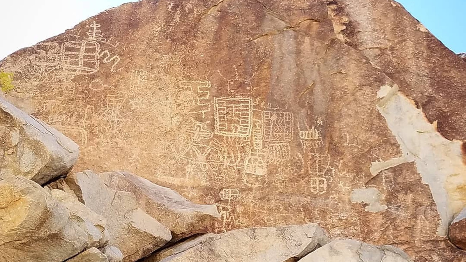 #9Best for the area's defining rock-art walk · #9 of 13
Grapevine Canyon Petroglyphs
Rock Art HikeLake Mead National Recreation Areadaylight backcountry access; road conditions varyFreeA short desert approach reaches a boulder-lined canyon with an extensive concentration of Indigenous rock art and a spring-fed ecological pocket.
Local tipDo not touch, trace, wet, or climb on petroglyph panels. Carry water, avoid extreme heat and flash-flood weather, and use the signed route and parking area.
-
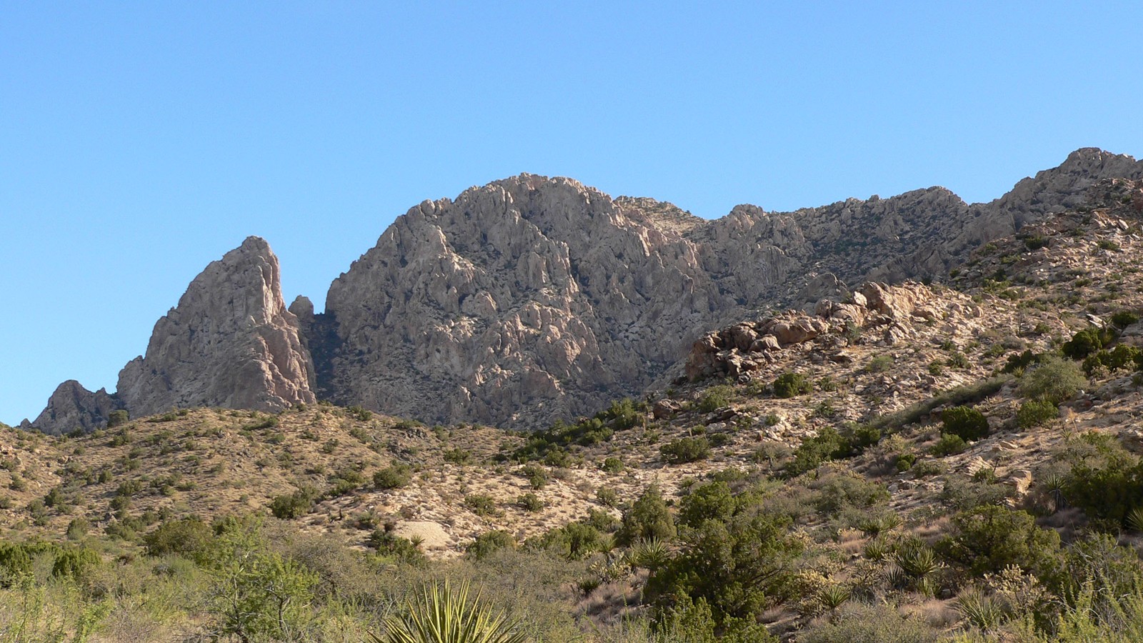 #10Best for a culturally significant desert landscape · #10 of 13
Avi Kwa Ame and Spirit Mountain
Sacred Desert LandscapeNewberry Mountainspublic lands year-round; conditions and restrictions applyFreeThe national monument protects Spirit Mountain, desert wilderness, Joshua tree habitat, and a landscape sacred to multiple Tribal Nations west of Laughlin.
Local tipThis is remote desert, not a paved summit attraction. Respect Tribal significance, designated routes, wilderness restrictions, heat, limited service, and changing road conditions.
-
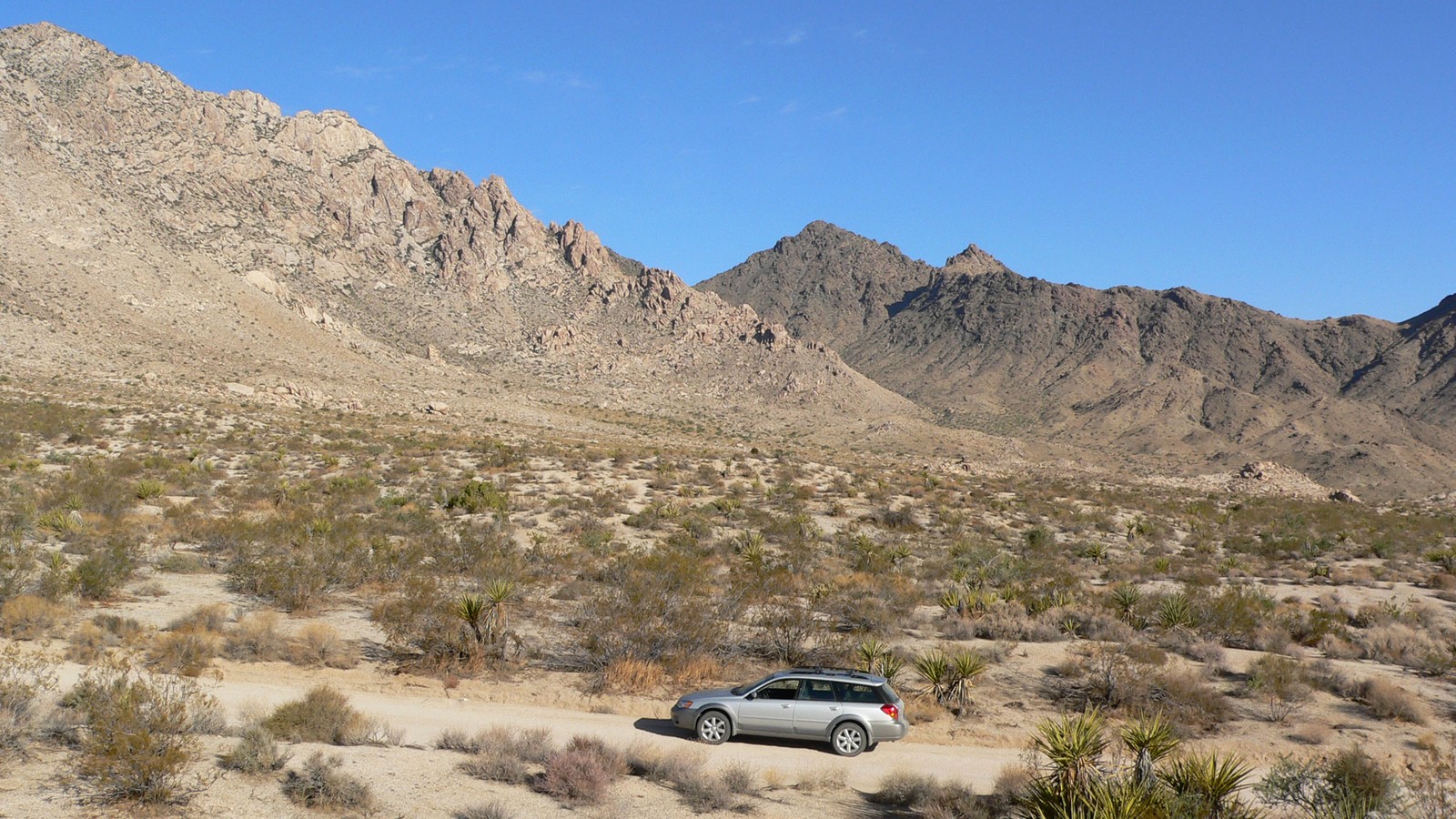 #11Best for a condition-dependent desert drive · #11 of 13
Christmas Tree Pass
Backcountry Scenic RoadNewberry Mountainsroad access depends on weather and maintenanceFreeA rough backcountry road crosses the Newberry Mountains between Highway 95 and Laughlin Highway, giving access to desert vistas and the Grapevine Canyon area.
Local tipRoad condition changes quickly and passenger cars may not suit the full route. Check current access, carry emergency water, avoid flood risk, and never drive off designated roads.
-
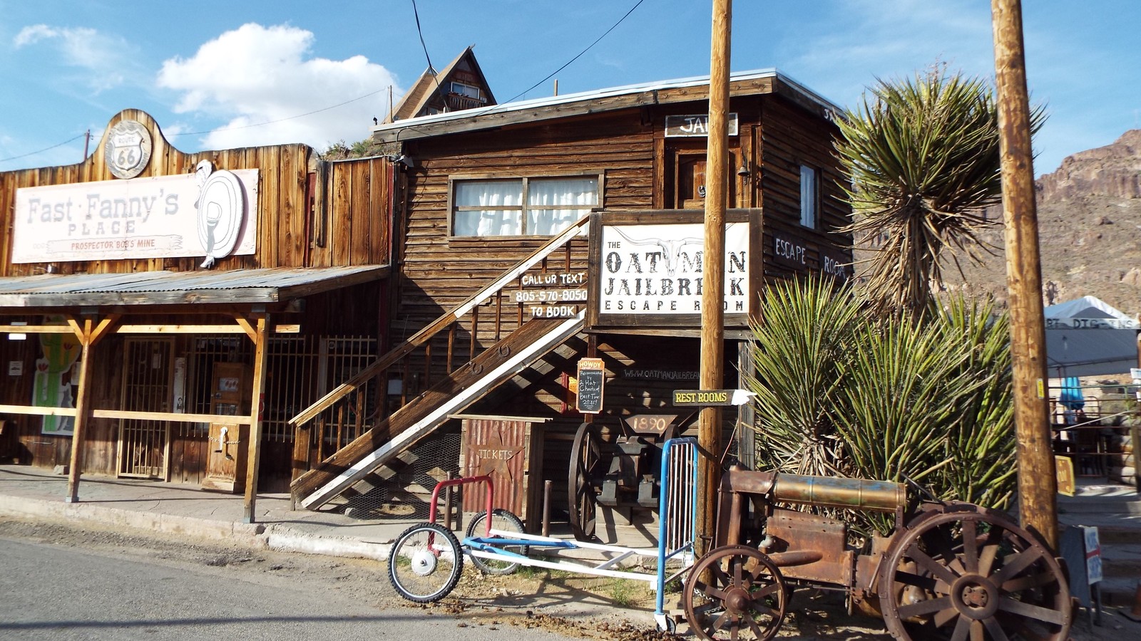 #12Best for a close Route 66 history trip · #12 of 13
Oatman
Historic Route 66 TownAbout 30 miles southeastpublic town year-round; businesses and shows varyFree to exploreA former mining town on a steep Route 66 segment uses wooden sidewalks, historic storefronts, Old West interpretation, and free-roaming burros to create a distinct day trip.
Local tipDrive the curving mountain road carefully, keep food away from burros except where approved, and verify shootout or museum schedules rather than assuming daily programming.
-
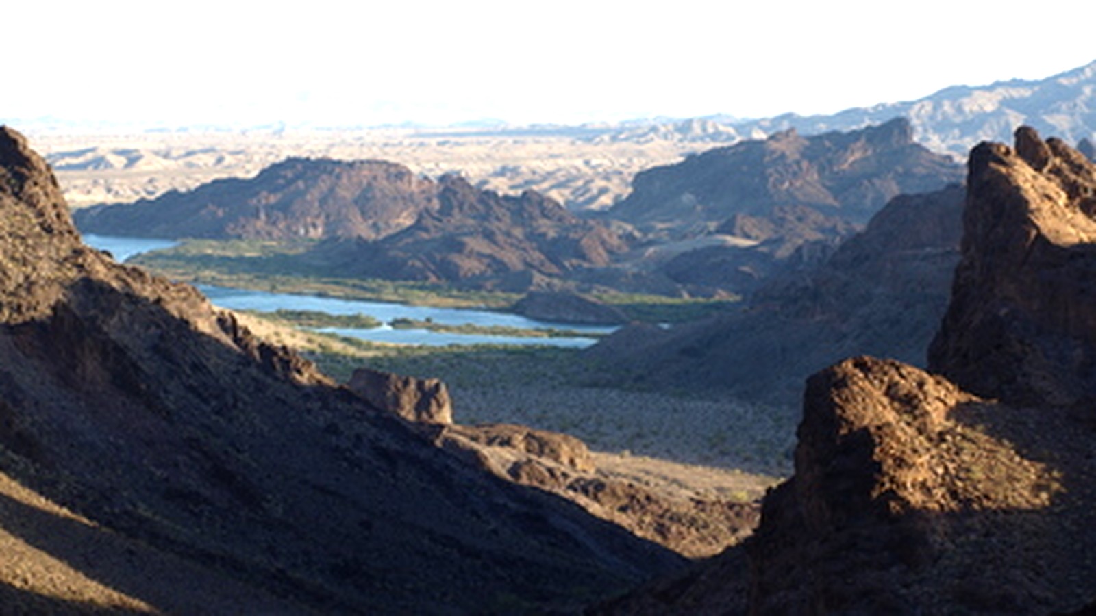 #13Best for a quieter Lower Colorado nature day · #13 of 13
Havasu National Wildlife Refuge
Wetland and Wildlife RefugeLower Colorado River south of Bullhead Cityyear-round refuge; access and seasonal rules varyFreeProtected river, marsh, backwater, and desert habitat supports birding, wildlife observation, fishing, paddling, and quiet seasonal exploration south of the city.
Local tipChoose a designated access point and review current refuge regulations, closures, water levels, hunting seasons, and heat. Many areas are remote and have limited services.
Where things cluster
The riverfront is linear rather than walkable end to end: choose one local access, treat Davis Dam and Katherine Landing as a northern cluster, and cross to Laughlin only for a specific walk, museum, meal, or show.
- Bullhead City river coreThe museum, waterfront access, and city services form the local planning base.
- Davis Dam and Lake MohaveThe dam, reservoir, and Katherine Landing need specific access and weather checks.
- Laughlin across the riverThe Riverwalk, resort corridor, and car museum are immediate cross-river additions.
- Newberry MountainsGrapevine Canyon, Spirit Mountain, and Christmas Tree Pass require desert preparation.
- Route 66 and refuge day tripsOatman and Havasu refuge run in different directions and should not share one rushed day.
Make it a day
Start with the defining district, then add one major anchor
Start at the Colorado River Historical Society Museum, choose one Bullhead City waterfront access for lunch and river views, then continue north to the legal Davis Dam viewpoints. End with Katherine Landing if daylight and conditions support a lake stop, or cross to Laughlin for the Riverwalk and one planned dinner venue.
Separate the districts instead of crossing town twice
Use the first day for the museum, Bullhead City waterfront, Davis Dam, and Katherine Landing. Reserve the second for either Grapevine Canyon and Avi Kwa Ame in cool weather, or Oatman and its Route 66 approach. Keep Havasu refuge as its own quieter southbound alternative rather than stacking three desert drives.
Map
Best time to visit
F
M
A
M
J
J
A
S
O
N
D
Cooler months make riverfront walks, desert roads, and exposed trails safer. Summer favors early water activities and air-conditioned stops, but extreme heat, high water demand, and afternoon winds can narrow the usable day.
Staying over? Compare hotels in Bullhead City at Expedia.
Deep Arrival earns a commission when you buy through partner links. It does not change the price you pay.
Bullhead City things to do FAQ
Timing, cost, access, and trip shape answers for a smoother visit.
What is Bullhead City best known for?
Bullhead City is best known for its Colorado River shoreline, immediate access to Lake Mohave and Davis Dam, and its position directly across the river from Laughlin. The river and reservoir shape most outdoor planning, while the local history museum adds a useful cultural stop.
Can you see Bullhead City in one day?
One day can cover the Colorado River Historical Society Museum, a chosen riverfront park, Davis Dam viewpoints, and either Katherine Landing or a short Laughlin Riverwalk visit. Lake recreation, Grapevine Canyon, Oatman, and the wildlife refuge each deserve separate time.
Is Bullhead City family friendly?
Yes, particularly for families comfortable with river and desert conditions. The museum, waterfront parks, Katherine Landing, Riverwalk, and car museum offer varied options, but adults should treat current, heat, boat traffic, and remote roads as real planning constraints.
When is the best time to visit Bullhead City?
October through April is usually the easiest window for walking, desert sightseeing, and Oatman. Summer can work for carefully timed river or lake days, but extreme heat makes midday trails, unshaded overlooks, and remote roadside exploration unsafe.
Do you need a car in Bullhead City?
A car is strongly recommended. The city stretches along the river, Lake Mohave access lies north, and Grapevine Canyon, Spirit Mountain, Oatman, and the refuge require driving. Park once for a compact Laughlin Riverwalk or resort block.
How should you plan Lake Mohave and the Colorado River safely?
Choose an exact marina, launch, beach, or outfitter before leaving, then check wind, temperature, releases, fees, invasive-species rules, and swimming guidance. Carry more water than expected and never assume a remote cove or desert road has service.
Keep planning
Ranked from city, federal, museum, and destination sources, with Bullhead City's river core kept ahead of the immediate Laughlin layer and the farther desert and Route 66 outings.
Image credits. Hero: Stan Shebs / Wikimedia Commons / CC BY-SA 3.0. 1 Colorado River Historical Society Museum: Marine 69-71 / Wikimedia Commons / CC BY-SA 4.0. 2 Bullhead City Colorado River Waterfront: Stan Shebs / Wikimedia Commons / CC BY-SA 3.0. 3 Davis Dam: Kjkolb / Wikimedia Commons / CC BY-SA 3.0. 4 Lake Mohave: Ken Lund from Reno, Nevada, USA / Wikimedia Commons / CC BY-SA 2.0. 5 Katherine Landing: Kevin.Daniels / Wikimedia Commons / CC BY 3.0. 6 Laughlin Riverwalk: Rennett Stowe from USA / Wikimedia Commons / CC BY 2.0. 7 Laughlin Resort Corridor: Ken Lund from Reno, Nevada, USA / Wikimedia Commons / CC BY-SA 2.0. 8 Don Laughlin's Classic Car Museums: Renjishino / Wikimedia Commons / CC BY 3.0. 9 Grapevine Canyon Petroglyphs: Marcella Santia / Wikimedia Commons / CC BY-SA 4.0. 10 Avi Kwa Ame and Spirit Mountain: Stan Shebs / Wikimedia Commons / CC BY-SA 3.0. 11 Christmas Tree Pass: Stan Shebs / Wikimedia Commons / CC BY-SA 3.0. 12 Oatman: Marine 69-71 / Wikimedia Commons / CC BY-SA 4.0. 13 Havasu National Wildlife Refuge: USFWS / Wikimedia Commons / Public domain.