
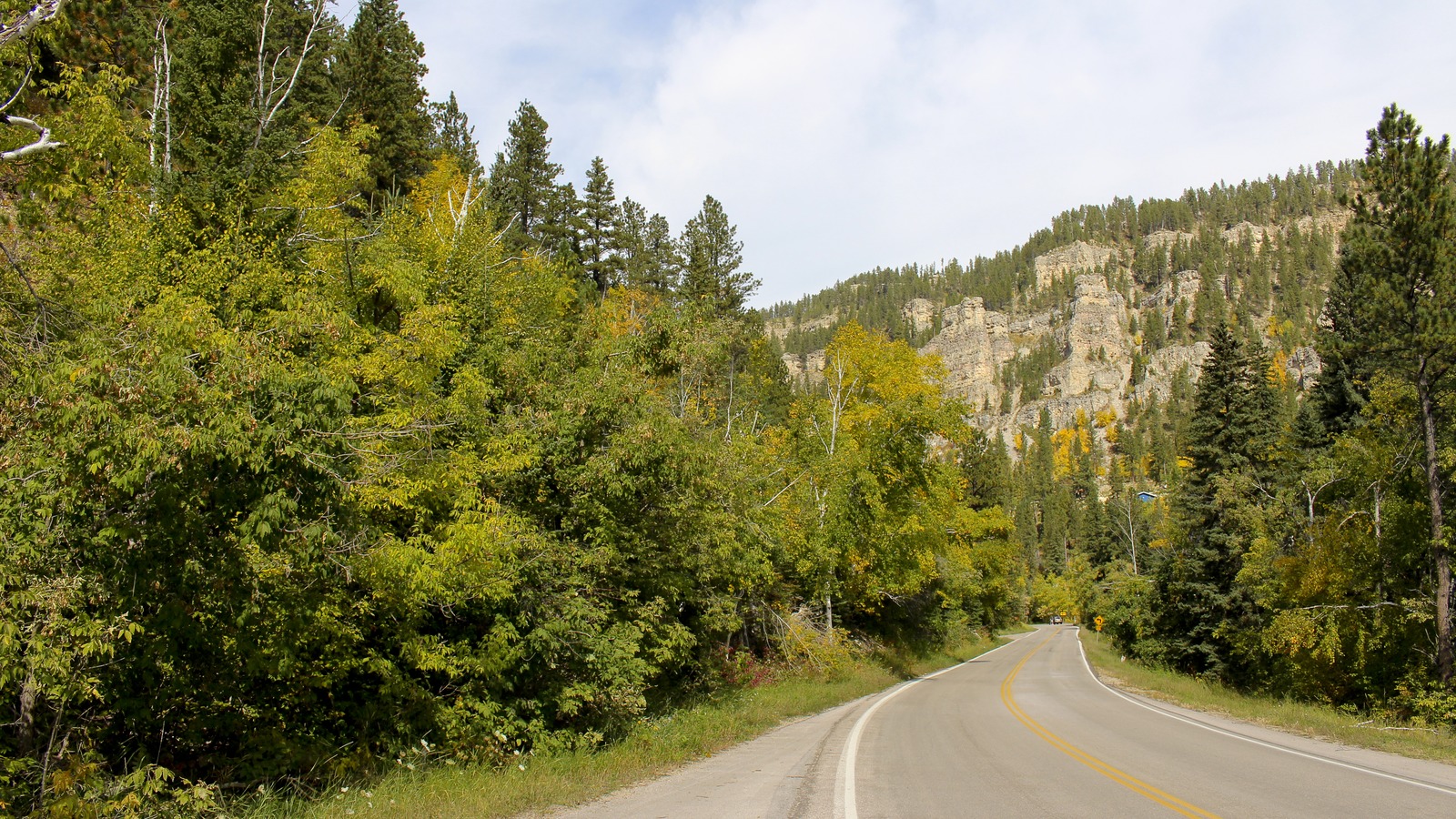
South Dakota | Northern Black Hills
Spearfish Canyon Scenic Byway
Follow US 14A from Spearfish to Cheyenne Crossing for limestone walls, creekside scenery and waterfall stops. Keep the highway drive separate from the walks and the gravel approach to Roughlock Falls.
Follow US 14A from Spearfish to Cheyenne Crossing for limestone walls, creekside scenery and waterfall stops. Keep the highway drive separate from the walks and the gravel approach to Roughlock Falls.
Fast read
What matters first
Use this page as the practical filter before you open booking pages, maps, or official policy documents.
The through route
The official byway follows US 14A for 19 miles between Spearfish and Cheyenne Crossing. Roughlock Falls lies off that highway on the FS Road 222 branch at Savoy.
Driving is only part of it
Travel South Dakota gives 30 to 45 minutes for the drive. Set aside a half day if waterfall walks and a meal matter more than simply reaching the other end.
Choose the walking commitment
Bridal Veil Falls has a roadside viewing platform; Spearfish Falls and Roughlock Falls have separate walking approaches. The state trail map, rather than the driving distance, is the useful measure for those stops.
Decision system
The planning sequence
Use the sequence below to decide how this should shape the trip.
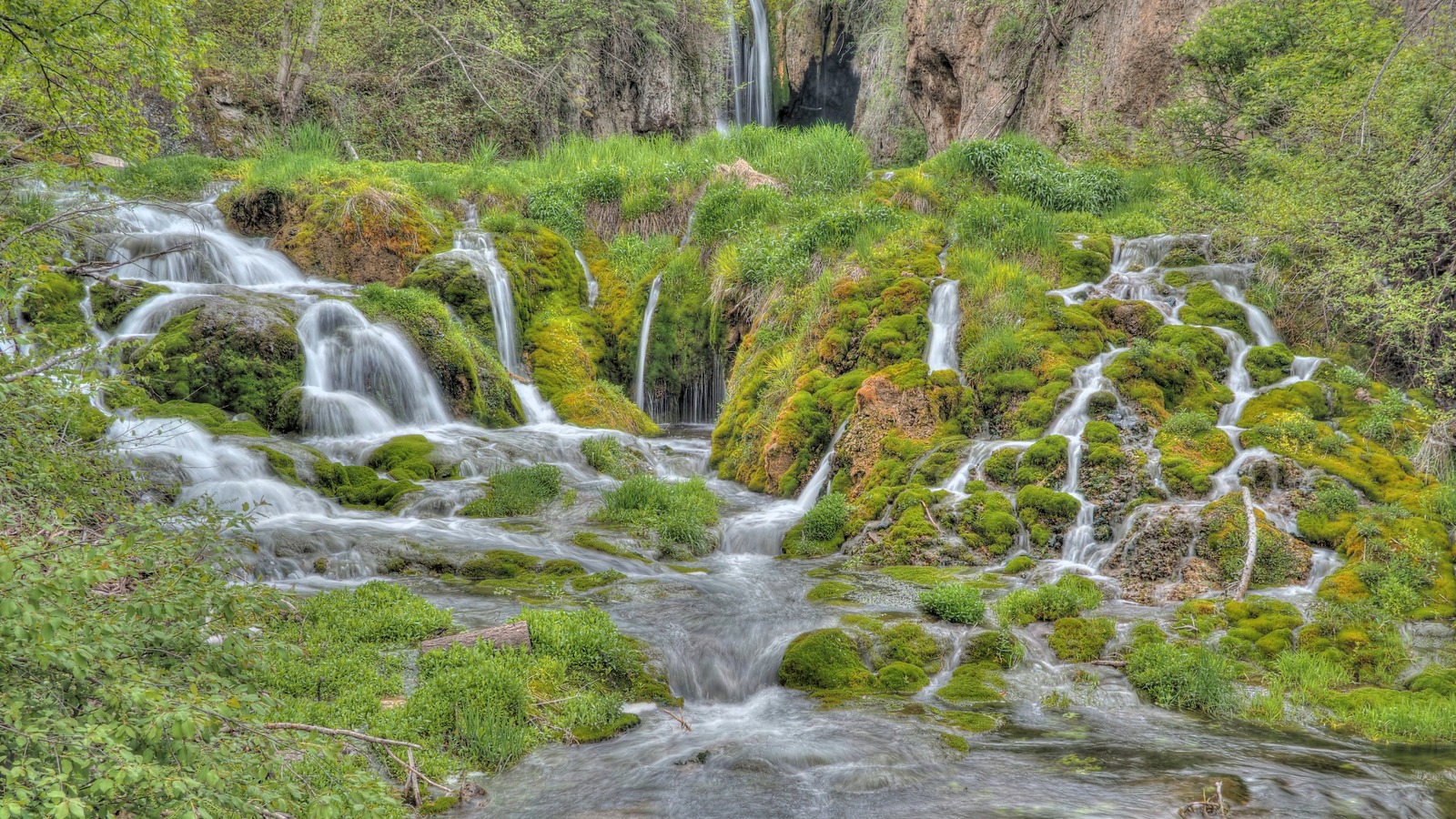
joiseyshowaa, via Flickr, CC BY-SA 2.0. Cropped and resized.
Little Spearfish Canyon
Roughlock Falls is a separate stop
The Roughlock Falls approach branches west at Savoy, away from the through byway. Choose between the walking route and the gravel-road approach according to the time available, posted access and the vehicle you are using.
Do not confuse a short walk from the upper parking areas with the full trail from the lodge area. The state trail map lists Roughlock Falls Trail as 1.1 miles one way and moderate.
Route map
US 14A and the separate Roughlock Falls branch
The green line follows the reviewed canyon route. The gold line is the separate FS 222 gravel approach. Use the map for trip shape, then check current road, trail, parking, and weather conditions before departure.
Where the byway starts and ends
The northern entrance is at Colorado Boulevard and US 14A in Spearfish; the southern end is the US 14A and US 85 junction at Cheyenne Crossing. Follow US 14A through the canyon between them, keeping the Roughlock Falls turn at Savoy separate from the through route.
Which direction makes sense
Start in Spearfish if that is your base, or enter at Cheyenne Crossing when approaching from Lead and Deadwood. These are practical starting choices, not a claim that one direction has better scenery; the north-to-south stop order is Bridal Veil Falls, Savoy and then Cheyenne Crossing.
Route map and the Savoy fork
The Forest Service canyon page links a byway map, while the state nature-area map gives the detail needed for the waterfall trails around Savoy. Keep US 14A as the main line and FS Road 222 as a separate westward branch, rather than treating every mapped road as part of the byway.
Driving time versus time with stops
The state's 30 to 45 minute driving estimate does not allow for your choice of waterfall walks, parking, a meal or the return journey. For a first visit with walking stops, a half-day allowance is a practical starting point; shorten that plan by choosing Bridal Veil Falls and one Savoy-area stop.
Bridal Veil Falls: the roadside stop
Bridal Veil Falls can be viewed from the platform beside US 14A, making it the clearest waterfall choice when a hike is not part of the day. The Forest Service asks visitors to stay on the platform or in the parking area, so do not turn the stop into an improvised approach to the falls.
Spearfish Falls: allow for the descent
At Savoy, the trail starts beside the Latchstring Restaurant and descends into the canyon; the state map lists the Little Spearfish Falls Trail as 0.7 miles one way with an easy-to-moderate rating. Visit Spearfish also identifies an overlook deck on the restaurant's south side, but neither that description nor the trail rating establishes step-free access.
Roughlock Falls: choose the approach
From the lodge area, the state map lists Roughlock Falls Trail as 1.1 miles one way and moderate, making an out-and-back walk about 2.2 miles. Driving west on gravel FS Road 222 brings you to a different arrival point near the falls, so those shorter viewing-area walks should not be confused with the full trail.
A shorter visit without rushing the trails
For a shorter outing, make the through drive and Bridal Veil Falls the priorities, then decide at Savoy whether a walk fits the time left. Continue to Cheyenne Crossing to complete the byway, or return toward your starting point only from a place where signs and space permit a legal maneuver.
A half day built around the waterfalls
Give the Savoy area the largest part of a walking-focused visit, choosing Spearfish Falls, Roughlock Falls or both according to the group's pace and conditions. Add a meal break and the remaining drive to Cheyenne Crossing, with the return trip still counted separately if the car must finish back in Spearfish.
The highway is not the gravel side trip
The byway stays on paved US 14A, while FS Road 222 toward Roughlock Falls is gravel. A road being part of the mapped area does not establish rental-car permission or suitability for an RV, trailer or low-clearance vehicle; check the intended approach and parking before taking a larger vehicle off the highway.
Winter access is route-specific
South Dakota GFP lists the FS Road 222 section from Savoy to Roughlock Falls as closed from December 15 through March 31 during snowmobile season, while describing the walking trail as open year-round. Those are published seasonal arrangements, not a promise of today's conditions or a winter closure notice for the whole US 14A byway.
Check conditions for the travel date
Use South Dakota 511 for road closures, weather impacts, work zones and vehicle restrictions, then check land-manager notices for the individual waterfall stops. Road and trail references were checked August 28, 2026; a season label or a map line should not be read as a real-time statement that an approach is open.
Food, water and fuel planning
Savoy has the Latchstring Restaurant, while the nature area lists picnic tables and vault toilets; check meal service directly rather than building the day around assumed opening hours. Carry drinking water and arrange fuel before entering the canyon, since the Forest Service lists no potable water at its canyon site and this route plan does not rely on an unverified fuel stop.
Turnarounds and the return journey
The 19-mile distance is one way, so a complete out-and-back on the same byway is about 38 miles before any side roads. Decide between returning to Spearfish and continuing beyond Cheyenne Crossing before departure, and do not count a waterfall parking area as a confirmed turnaround for a long vehicle.
Keep the canyon in the wider trip
For days based farther south, things to do in Rapid City can help separate the city's stops from the wider Black Hills outings. Travelers arranging an overnight RV base can compare RV parks near Deadwood before choosing their approach to the canyon; the campground guide is not a clearance check for the byway's pullouts.
A day visit, not an overnight pullout
The Forest Service prohibits dispersed camping in Spearfish Canyon, and the state nature area is day use with no camping. Treat waterfall parking as a visit stop, then make a separate overnight plan rather than assuming the canyon drive includes a place to stay.
Planning traps
Mistakes to avoid
These are the small decisions that quietly derail an otherwise good plan.
Stay with US 14A for the through route; Roughlock Falls requires a separate decision at Savoy.
A 30 to 45 minute route estimate is not enough to describe a trip with waterfall trails, parking and a meal.
Bridal Veil's viewing platform, the Spearfish Falls descent and the Roughlock Falls approaches are different visits.
Check US 14A, FS Road 222 and the chosen trails separately before departure.
Sources checked
Official and supporting references
Use these references to confirm live prices, dates, rules, and operating details before money changes hands.
Staying over? Compare hotels for this trip at Expedia.
Deep Arrival earns a commission when you buy through partner links. It does not change the price you pay.
FAQ
Common planning questions
How long is Spearfish Canyon Scenic Byway?
How long does it take to drive?
Is Spearfish Canyon a loop?
Is Roughlock Falls directly on US 14A?
How far is the Roughlock Falls walk?
Does the whole byway close in winter?
Which waterfall can I see without a canyon hike?
Can I camp at a waterfall pullout?
Continue planning