
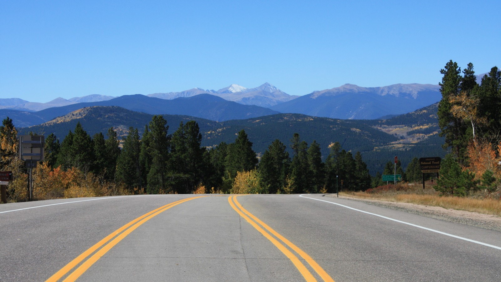
dph1110, via Flickr, CC BY 2.0. Cropped and resized.
Colorado | Front Range
Peak to Peak Scenic Byway: Exact Route and Stops
Follow Colorado's oldest scenic byway from Black Hawk to Estes Park on SH 119, SH 72 and SH 7. This guide separates the 80-minute driving baseline from the stops that turn the corridor into a half-day or full-day outing.
Follow Colorado's oldest scenic byway from Black Hawk to Estes Park on SH 119, SH 72 and SH 7. This guide separates the 80-minute driving baseline from the stops that turn the corridor into a half-day or full-day outing.
Fast read
What matters first
Use this page as the practical filter before you open booking pages, maps, or official policy documents.
The exact route
Start in Black Hawk on SH 119, continue through Nederland on SH 72, then turn onto SH 7 for the final leg to Estes Park. The official map and CDOT geometry keep the route outside Trail Ridge Road.
Driving time is only the baseline
CDOT lists 55 miles and 80 minutes for the byway itself. Nederland, Lily Lake or a park side trip adds separate parking and visit time, so a useful outing is longer than the drive.
The decision that saves the day
Choose a pure drive, a town-and-viewpoint version or one longer park stop. Stacking every detour onto the corridor produces a scattered day and hides the two highway transitions that define the route.
Decision system
The planning sequence
Use the sequence below to decide how this should shape the trip.
The official corridor
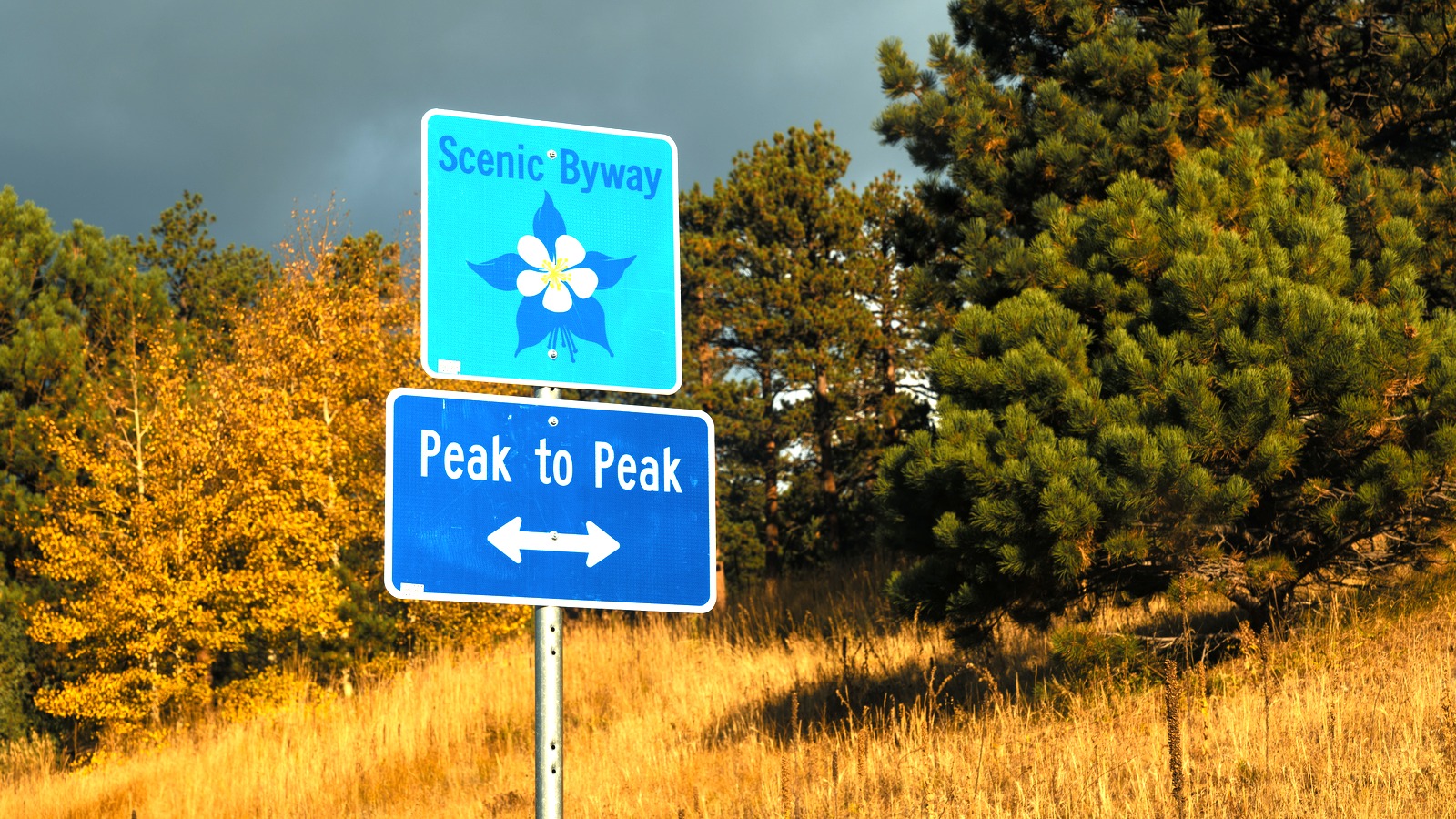
The sign is orientation, not the whole plan
The signed byway follows three highways, so the route cannot be reduced to a single road number. Use the CDOT line and both transition pins to keep SH 119, SH 72 and SH 7 in the correct order.
The sign photo was made on SH 119 between Rollinsville and Nederland, squarely inside the official corridor. It confirms the route identity, while current road and stop access still come from CDOT, NPS and park sources.
Start with the three-road definition
CDOT maps Peak to Peak as one named corridor on SH 119, SH 72 and SH 7 between Black Hawk and Estes Park. Keep those highway changes in the plan because a generic fastest-route search can replace part of the byway with a different mountain road.
Read the official mileage as a visitor figure
CDOT publishes the route at 55 miles with an 80-minute drive time, while its current GIS line measures somewhat longer when every mapped curve is totaled. This guide preserves the published figure for planning and uses the GIS only to draw the exact corridor.
Drive north for the simplest sequence
A northbound run starts on SH 119 in Black Hawk, reaches Nederland before the more rural SH 72 section, and finishes on SH 7 in Estes Park. That direction puts the largest service towns at the beginning, midpoint and end without claiming that every roadside facility is open.
Use Black Hawk as the route start
The south endpoint in CDOT's byway geometry sits on SH 119 in Black Hawk, not at Interstate 70 and not in central Denver. Any approach drive belongs outside the official 55-mile estimate, so begin the route clock only after reaching the mapped endpoint.
Treat the SH 119 to SH 72 turn as essential
In Nederland, the named corridor leaves SH 119 and continues north on SH 72. This is the most important navigation decision on the drive, and it is also the cleanest place to pause before committing to the quieter northern half.
Do not miss the SH 72 to SH 7 transition
North of Allenspark, the CDOT geometry moves from SH 72 to SH 7 for the final approach to Estes Park. Staying alert for that change matters more than collecting extra pins because it keeps the drive on the official corridor.
Choose Nederland for the short version
For a compact outing, make Nederland the only planned stop and keep every other pullout optional. The town sits at the route's central highway change, so it adds a useful break without converting the drive into several unrelated excursions.
Use Lily Lake as a deliberate park stop
The National Park Service places Lily Lake directly off Highway 7 and describes heavy visitation, restrooms and accessible viewing features. Current timed-entry, entrance-fee and parking rules still apply, so confirm the travel date before building the whole day around the lot.
Keep Golden Gate Canyon as a side trip
CDOT lists Golden Gate Canyon State Park among the route's attractions, and Colorado Parks and Wildlife highlights Panorama Point within the park. Reaching that overlook leaves SH 119, so treat it as a separate time block rather than a roadside pullout.
Keep paved byway miles separate from gravel spurs
The named route follows the three state highways, while CDOT notes that gravel roads branch toward lakes, trailheads and historic sites. A pin or side-road name does not establish passenger-car access, so use current land-manager guidance before leaving the paved corridor.
Check weather and road conditions together
CDOT directs travelers to COtrip for current closures and road conditions, which matters on a high-country route even when the byway is generally promoted across seasons. A clear forecast does not prove that every segment or parking area is open, and an open highway does not promise a trailhead space.
Make Estes Park the end of this route
The CDOT geometry ends in Estes Park before any cross-park drive on Trail Ridge Road begins. Use the things to do in Estes Park guide for the town, then make a separate decision about entering Rocky Mountain National Park.
Keep Trail Ridge Road in its own guide
The Rocky Mountain National Park road-trip guide covers Trail Ridge Road, Old Fall River Road and park-specific reservations. Linking the two guides creates a useful continuation without pretending that the national-park roads are part of Peak to Peak.
Use Boulder as an approach base, not a route stop
The things to do in Boulder guide can help shape a Front Range stay before or after the byway, but Boulder is not on the official corridor. Keep city sightseeing outside the 55-mile route calculation so the driving plan stays legible.
Allow real stop time
The 80-minute figure is a driving baseline, not an itinerary promise. A Nederland meal, Lily Lake walk or Golden Gate Canyon detour can each become the main activity, so choose one primary stop and leave room for mountain traffic and weather.
Finish with a travel-date recheck
Before departure, verify SH 119, SH 72 and SH 7 on COtrip and review the exact operator page for any planned park stop. The map proves route identity and pin placement, but it intentionally does not claim live access, parking availability or current trail conditions.
Planning traps
Mistakes to avoid
These are the small decisions that quietly derail an otherwise good plan.
Keep the Nederland to SH 7 section on SH 72 to stay on the official byway.
Treat CDOT's figure as driving time and budget each stop separately.
End this route in Estes Park and use the national-park guide for roads inside RMNP.
Check COtrip and the exact park or land-manager page before departure.
Sources checked
Official and supporting references
Use these references to confirm live prices, dates, rules, and operating details before money changes hands.
Staying over? Compare hotels for this trip at Expedia.
Deep Arrival earns a commission when you buy through partner links. It does not change the price you pay.
FAQ
Common planning questions
How long is Peak to Peak Scenic Byway?
How long does it take to drive?
Which roads make up Peak to Peak Scenic Byway?
Where does the byway start and end?
Is Nederland on the route?
Is Lily Lake on Peak to Peak Scenic Byway?
Is Trail Ridge Road part of Peak to Peak?
Where should I check current conditions?
Continue planning