
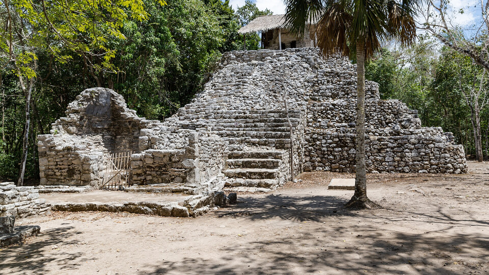
Photo by dronepicr, Wikimedia Commons, CC BY 2.0; cropped to 16:9.
Cobá route and access guide
Cobá Ruins Visitor Guide
Use the official approximately two hour route as the planning baseline. Add Nohoch Mul only if current INAH access and your mobility allow it, and confirm all operating details before leaving.
Use the official approximately two hour route as the planning baseline. Add Nohoch Mul only if current INAH access and your mobility allow it, and confirm all operating details before leaving.
Fast read
What matters first
Use this page as the practical filter before you open booking pages, maps, or official policy documents.
Check INAH on the day
Confirm current hours, admission, last entry, route closures, and Nohoch Mul controls on the official visitor page before traveling.
Choose the route branch
Use the standard circuit for the core monument groups. Treat Nohoch Mul as a separate add on that depends on current access, capacity, conservation controls, and your mobility.
Plan for a dispersed site
Cobá is not a single compact monument. Ancient causeways connect groups across a broad archaeological landscape, so distance and heat belong in the route decision.
Decision system
The planning sequence
Use the sequence below to decide how this should shape the trip.
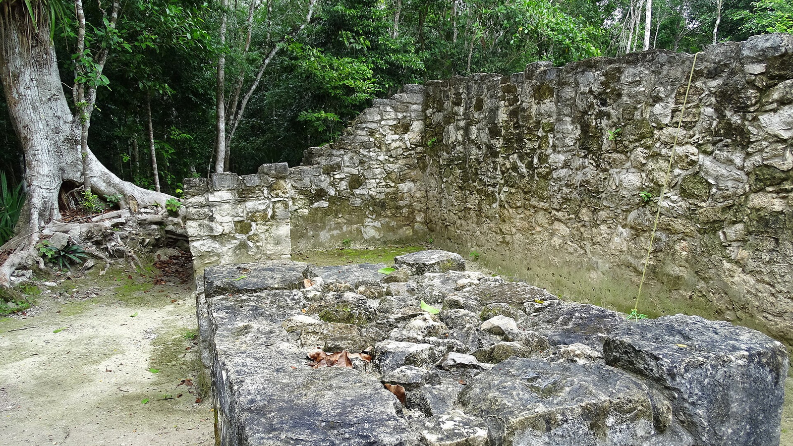
Read the archaeological landscape
Masonry identifies the place, but it does not prove current access
Cobá's structures sit within a dispersed Maya city connected by ancient causeways. The scale is part of the visit, so route choice matters more than collecting every named stop.
This image supports durable site identity only. Current barriers, permitted paths, weather effects, and staff instructions still control what a visitor can reach.
Let the current INAH page control
The official visitor page controls operating hours, admission, last entry, route closures, and Nohoch Mul visitor rules. Recheck it before leaving because older summaries can preserve details that no longer apply.
Use the official map as the route spine
The official route map provides an approximately two hour baseline and orders the major monument groups. Treat that duration as a planning floor, then add arrival, rest, photography, and return buffers.
Understand why the route feels dispersed
The official place record describes a Maya city whose monument groups are linked by ancient causeways. That broad layout makes distance, shade, heat, and energy part of the visit decision.
Treat Nohoch Mul as a conditional add on
INAH announced a December 2025 reopening with a new conservation stairway and visitor controls. Current capacity, barriers, weather, and staff direction still decide whether an ascent is available when you arrive.
Keep mobility language exact
A visitor service icon does not prove a continuous step free route across a dispersed archaeological site. Contact INAH when surfaces, distances, rest points, or the Nohoch Mul ascent determine whether the visit is workable.
Build around walking capacity
The official route covers a dispersed archaeological landscape. Choose a circuit you can complete on foot, allow for heat and rest stops, and shorten the route when the distance exceeds your available energy.
Follow conservation instructions
Use designated paths and structures only, do not cross barriers, and follow staff direction at every controlled area. The conservation stairway does not turn every monument into a climbable structure.
Connect Cobá to the Riviera Maya plan
Updated August 31, 2026; INAH access, route, and conservation sources were reviewed August 30, 2026. Continue with where to stay in Playa del Carmen, Cancun all-inclusive planning, or Cancun airport arrival planning.
Planning traps
Mistakes to avoid
These are the small decisions that quietly derail an otherwise good plan.
INAH controls current admission, last entry, and closures.
The ascent remains subject to current capacity, conservation, weather, and staff controls.
A dispersed route can become unworkable when heat, distance, and rest needs are treated as incidental.
The reviewed service information does not establish a continuous accessible path across the site.
Sources checked
Official and supporting references
Use these references to confirm live prices, dates, rules, and operating details before money changes hands.
Staying over? Compare hotels for this trip at Expedia.
Deep Arrival earns a commission when you buy through partner links. It does not change the price you pay.
FAQ
Common planning questions
How long do you need at Cobá?
Can you climb Nohoch Mul?
Is Cobá a compact site?
Should you plan to walk the Cobá route?
Is the Cobá route wheelchair accessible?
Continue planning