
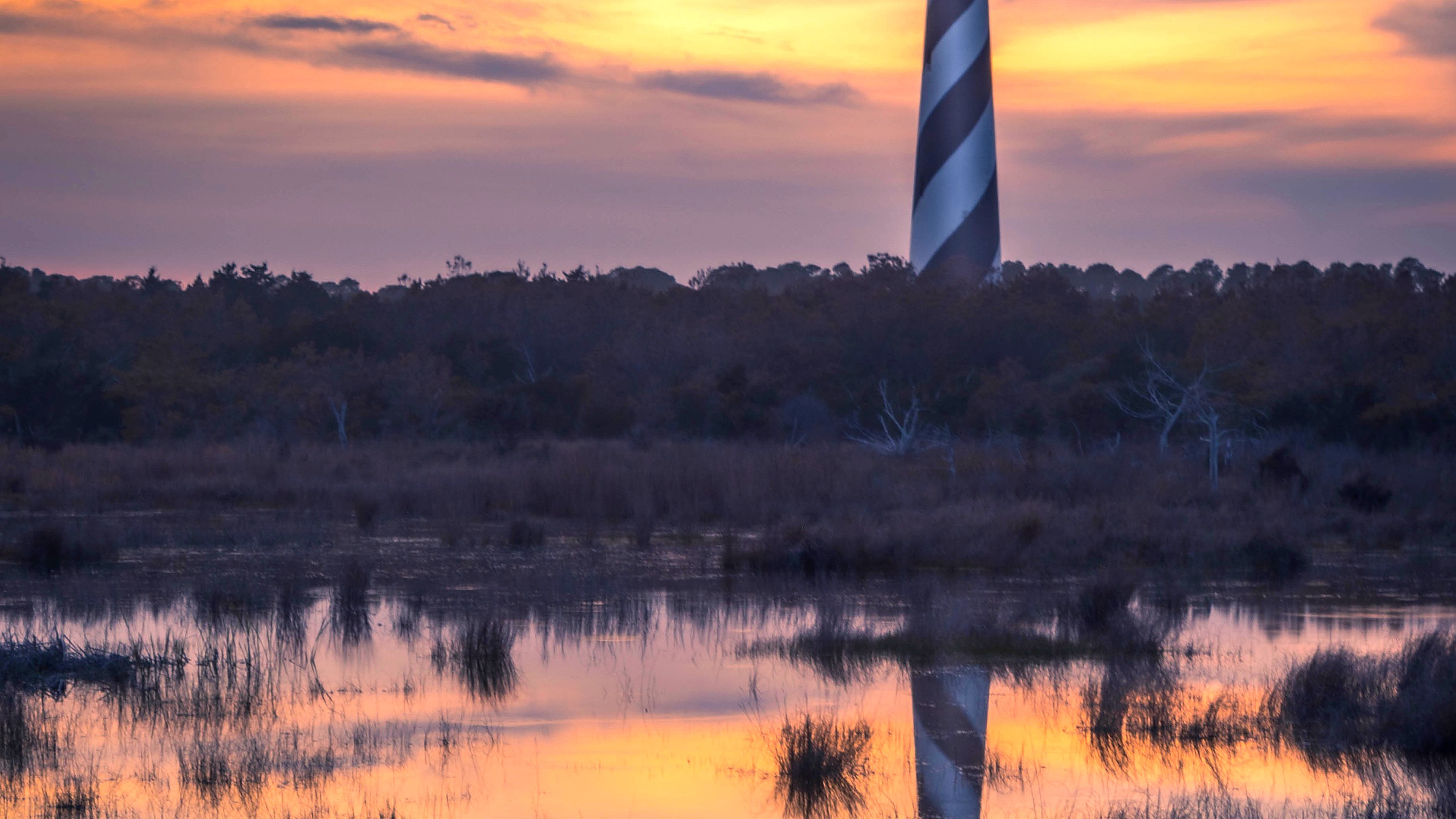
National Seashore, North Carolina
Cape Hatteras National Seashore
Hours, fees, beach access, ferry notes, map, and the stops that use your time well.
Start with the facts
Hours, fees, and directions
If you are already going, start here. The rest of the page helps you spend the day well.
Park hours
- Outdoor beach and road access is commonly available around the clock when roads and beaches are open
- Visitor centers, lighthouses climbs, and staffed facilities follow posted seasonal hours
- Storms, flooding, and nesting closures can shut beach ramps or road segments with little notice
- Ocracoke access depends on ferry schedules, not only park building hours
- Recheck official conditions and ferry status the morning you drive
Fees and passes
Cape Hatteras National Seashore does not charge a standard entrance fee as of this draft. Some experiences still cost money, including lighthouse climbs when ticketed, camping, and state ferry transport between islands.
| Pass | Price | Use |
|---|---|---|
| Seashore entry | Free | No standard NPS entrance fee as of this draft |
| Lighthouse climb | Varies | Ticketed when climbs are offered |
| Camping | Varies | Recreation.gov or listed campgrounds |
| State ferries | Varies | Separate from NPS entry |
| America the Beautiful | $80 | Useful at other federal sites on the trip |
Free seashore entry does not mean free ferries, camping, or every climb. Confirm lighthouse and ferry products before you lock the day.
Directions
Think in villages and islands, not one loop road. Pick lodging first on Hatteras Island or Ocracoke, then match beach ramps and ferry timing.
- Bodie Island approach: North seashore segment with lighthouse and beach access near the bridges corridor
- Hatteras Island villages: Rodanthe to Hatteras for many beach days and the Cape Hatteras Lighthouse area
- Ocracoke Island: Ferry only from Hatteras or mainland routes; plan the boat before the beach
Default map target for a first visit: Cape Hatteras Lighthouse area in Buxton.
Facts checked for this draft: July 16, 2026. Recheck official NPS pages before you leave.
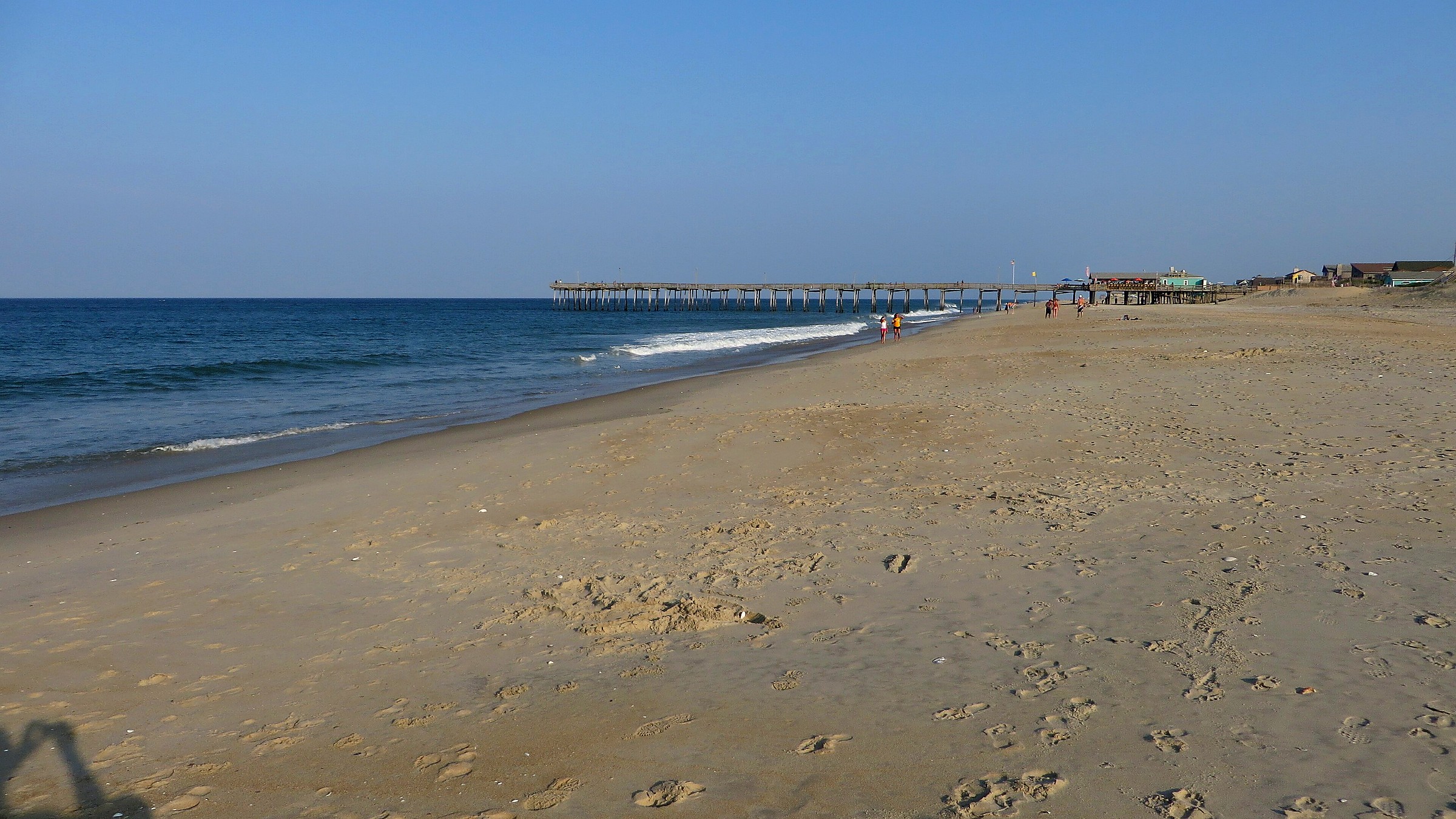
Map
Where the park sits
Use this for orientation. For driving, use the gate that matches your day and recheck road status.
Centered near the Cape Hatteras Lighthouse area for a first visit. The seashore stretches across multiple Outer Banks villages and islands. Storms and ferry status can change the practical map overnight. Official park maps
Where to go
Places that use your time well
You already chose Cape Hatteras National Seashore. Use this to decide where the day goes.

Cape Hatteras Lighthouse
Use the lighthouse as orientation, not the whole day
Start with the lighthouse grounds for the iconic view, then decide whether a climb ticket is worth the line. Leave real time for open beach nearby so the visit still feels like a seashore, not only a tower photo.
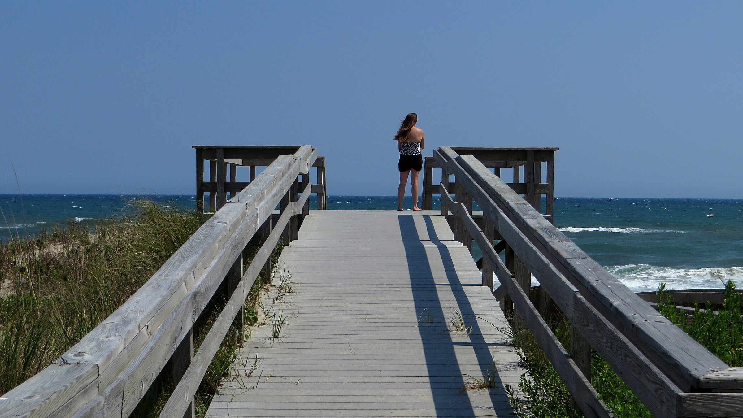
Ocracoke
Treat the ferry as the first reservation
Ocracoke is a different island day. If the ferry is delayed or full, the beach plan collapses. Book or queue early, pack water, and keep a Hatteras Island beach backup.
Which gate
Match the entrance to your day
Northern bridges corridor
Best when lodging is near Nags Head or Kill Devil Hills and you work south.
Hatteras Island mid villages
Best for lighthouse and many beach ramps once you are already on the island chain.
Hatteras to Ocracoke ferry
Required for Ocracoke beaches and village; schedule first.
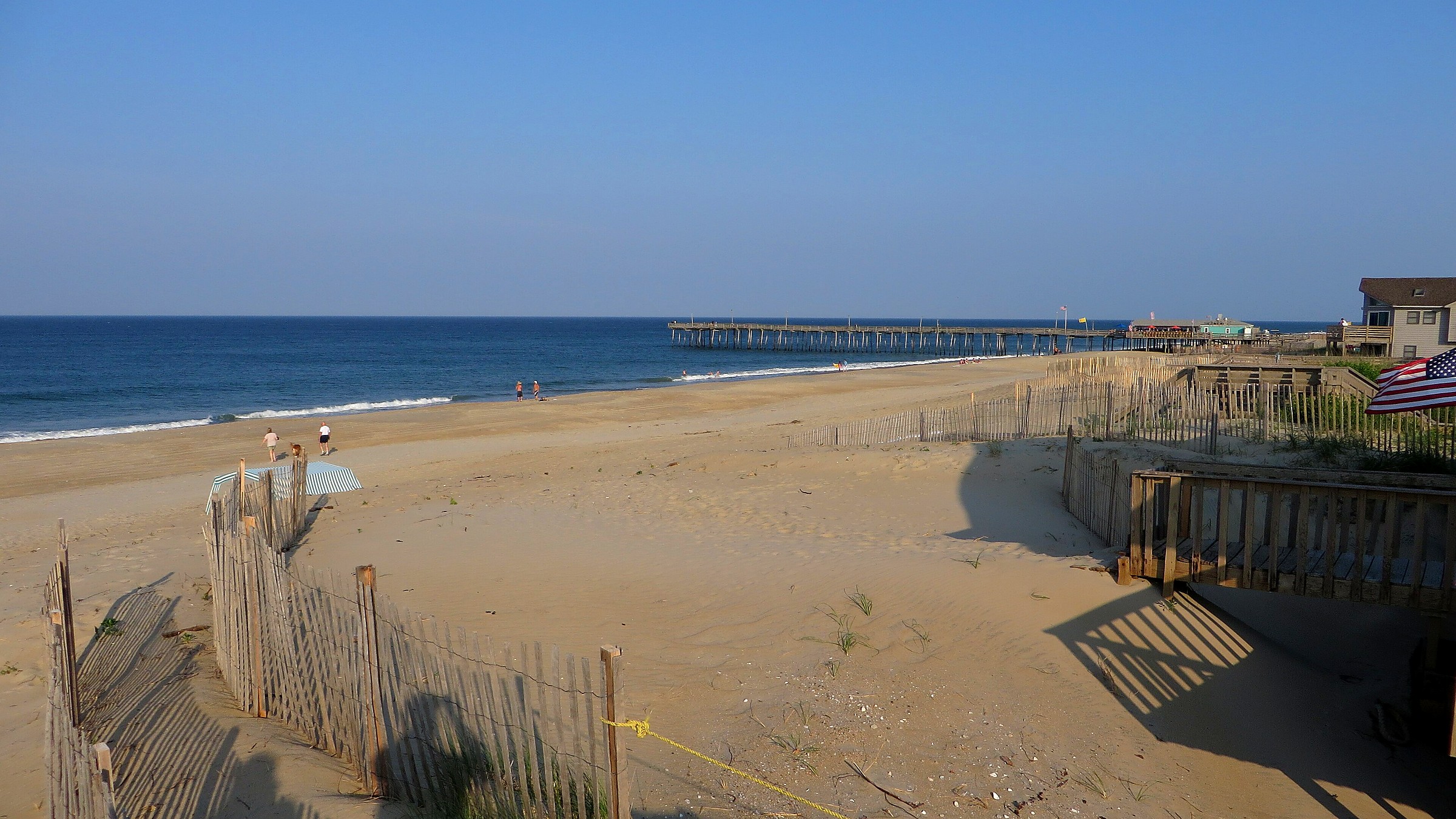
Stay overnight
Camping facts
Inside the park
- Seashore campgrounds exist in multiple areas and often need advance planning in summer
- Book through Recreation.gov when the campground is listed there
- Storms and flooding can close camp loops even with a reservation
- ORV beach camping rules are special and not the same as developed campgrounds
- Have a motel backup in a village if wind and rain turn severe
Outside the park
Gateway bases cluster in Nags Head, Rodanthe, Avon, Buxton, Hatteras, and Ocracoke village. Use village lodging when campgrounds are full or you want easier food and storm shelter.
When to go
What changes by season
Spring
Milder beach days and rising crowds on weekends. Water is still cool. Storm fronts can reshape beach access quickly at Cape Hatteras National Seashore.
Summer
Peak ferry lines, full campgrounds, and hot beach parking pressure. Start early for lighthouse areas and Ocracoke crossings.
Fall
Some of the best beach weather with thinner midweek crowds after school peak, plus strong fishing interest along the banks.
Winter
Quieter villages and harsher wind. Some services shrink. Storm closures and rough surf still rewrite plans.
Before you hike
Safety and conditions that change the day
Rip currents are a leading Outer Banks hazard. Swim near lifeguards when available, know how to float and signal, and keep children within arm reach at the break.
Soft sand, overwash, and flooded ramps trap vehicles. Follow ORV rules only with the right tire pressure, permits, and recovery gear when driving is allowed.
Tropical systems and nor'easters can close Highway 12 segments. Recheck official conditions and ferry status for Cape Hatteras National Seashore before you leave lodging.

Ocean and storms
Rip currents and weather own the day
Strong surf, rip currents, soft sand roads, and sudden storms are the seashore risks. Check swim conditions, keep kids close at the waterline, and never assume yesterday's open ramp is open today.
Skip these
Mistakes to avoid
Ferries, camping, and climbs still add up fast on a multi day banks trip.
The boat can consume the best beach hours if you arrive late in peak season.
A favorite ramp can be closed for wildlife or storms without matching last year memories.
Highway 12 and low island roads flood. Keep a village day plan that works without a long drive.
Parking and heat are worst when the light is least friendly for photos.
Beach access changes faster here than at inland mountain parks.
Sources checked
Official and supporting references
Use these to confirm live hours, fees, road status, and reservation rules before you leave.
Staying over? Compare hotels for this trip at Expedia.
Deep Arrival earns a commission when you buy through partner links. It does not change the price you pay.
FAQ