
Original editorial artwork by Deep Arrival
Historic highway trip planner
Route 66 Road Trip: A State-by-State Plan That Respects the Route
Route 66 is not one uninterrupted modern highway. A workable trip starts by choosing a section, checking the current alignment and local conditions, then giving historic places more time than a map-only drive suggests.
Route 66 is not one uninterrupted modern highway. A workable trip starts by choosing a section, checking the current alignment and local conditions, then giving historic places more time than a map-only drive suggests.
Fast read
What matters first
Use this page as the practical filter before you open booking pages, maps, or official policy documents.
First decision
Choose Chicago to St. Louis, the Southwest, or another bounded segment before booking.
Do not assume
A modern interstate exit recreates every historic Route 66 segment.
Before driving
Check current state road conditions and site access for the chosen days.
Decision system
The planning sequence
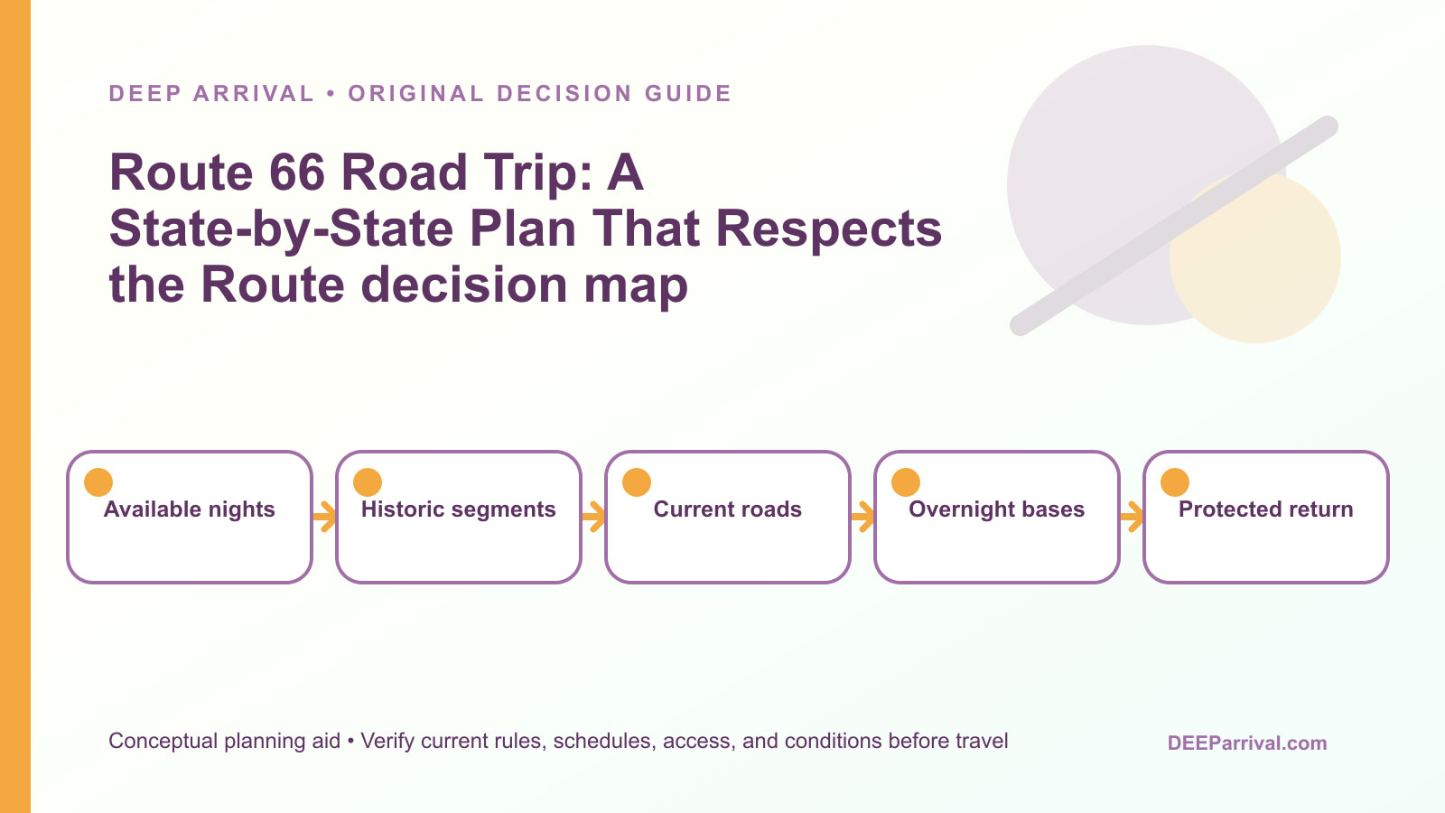
Use the sequence below to decide how this should shape the trip.
Plan the real road
Historic alignment is the point, not an interstate race
A Route 66 trip works best when the traveler chooses a manageable corridor and allows time for historic places rather than trying to collect every sign.
Use current local road information for the drive and the National Park Service itinerary for the historic context.
Choose a Route 66 section before choosing stops
The historic route crosses eight states and is too long to treat as a single weekend drive. Pick a section that fits the available nights, airport plan, and tolerance for long desert or plains days.
Chicago to St. Louis produces a different trip from a New Mexico and Arizona segment, even when both use Route 66 language. State the start and finish in the itinerary, then build the daily driving around those fixed points.
Understand the difference between historic alignment and modern roads
Interstate highways replaced or bypassed many portions of Route 66. The useful question is not whether every mile is still a signed through-road, but which historic segments, bridges, towns, and sites can be visited safely on the chosen day.
The National Park Service travel itinerary helps identify historic places, while current state and local road information controls whether a particular driving approach is usable now.
Build each day around two or three meaningful stops
Historic filling stations, motels, bridges, diners, museums, and roadside landscapes invite slow travel. A plan with too many pins becomes a drive-by collection rather than a route experience.
Give each stop time for parking, walking, photographs, and unexpected local conditions. Keep one lower-priority stop that can be removed without damaging the day.
That simple recovery rule is more useful than promising a fixed mileage target.
Treat weather and fuel as route design inputs
Heat, wind, storms, altitude, and long rural gaps can change the comfort and safety of a drive. Carry water, fuel earlier than a city habit suggests, and use a vehicle suitable for the season and road type.
Do not use a historic itinerary as proof that a remote segment has current services or safe conditions. Check state road information, local alerts, and the forecast before committing to a sparsely served leg.
Use overnight anchors instead of nightly improvisation
Choose towns that make the next day manageable and leave time to explore the current town on foot. Some historic Route 66 communities have limited lodging inventory or long distances between practical alternatives.
Reserve flexible lodging when a fixed event, holiday, or high-demand weekend makes the next stop important. Keep a second town within reach if a road, weather, or vehicle issue changes the plan.
Plan navigation for places where the name is not enough
A search result can point to a modern business, a museum, a bypassed roadbed, or a town rather than the intended historic feature. Save the official or local reference and compare it with the current map before starting the drive.
Download offline maps where coverage is uncertain. Never follow a private driveway, closed road, railroad property, or unsigned track just because an old route line appears nearby.
Make the centennial context useful but not the itinerary
Route 66 has renewed attention around its centennial, but an event, caravan, or temporary promotion is not a substitute for a durable trip plan. Use current official event pages only when the travel dates actually overlap.
The evergreen page should still work after a specific celebration ends by focusing on state sections, historic interpretation, safe driving, and real overnight pacing.
Keep related road-trip pages in their own lanes
Deep Arrival already has a cross-country road trip framework, a California road trip guide, and a Kingman Route 66 museum page. Those guides serve broader routing, a California-first drive, and one museum visit.
This guide covers the state-by-state Route 66 decision. Link out when the reader needs a broader drive or a detailed museum visit, rather than copying their content into the Route 66 plan.
Run a final pre-departure check
The day before leaving, recheck the first driving segment, local weather, fuel range, lodging confirmation, and the operating status of any must-do historic site. Use official park, state, or local notices where available.
If a stop is closed, substitute a nearby public historic place or turn the saved time into a slower drive. A route plan remains useful when it gives the traveler a recovery path instead of pretending conditions are fixed.
Match the section to the arrival and return plan
A fly-drive itinerary needs a realistic airport, rental-car, and return path before it becomes a list of historic stops. Choose a section whose first and last nights work with the actual flight times, then use current road information to verify the first and final driving legs rather than assuming an interstate connection preserves the historic route.
Separate fixed stops from flexible discoveries
Reserve only the lodging night, museum visit, or local event that truly controls the route, and leave roadside discoveries flexible. This prevents one delayed stop from turning every later town into a missed reservation while still protecting the historic place that gives the chosen section its purpose.
Use the route map as context, not permission
National Park Service history helps identify places worth seeking, but it does not authorize a turn onto every old alignment shown on a map. When a segment is unsigned, closed, private, or unclear, use a public alternate and preserve the day for accessible towns, bridges, or interpretation sites.
Planning traps
Mistakes to avoid
These are the small decisions that quietly derail an otherwise good plan.
Choose a bounded corridor and preserve time for stops.
Check current road and access conditions.
Use historic alignment context and local signs.
Rural gaps and weather require margin.
Build a durable route that still works if an event changes.
Sources checked
Official and supporting references
Use these references to confirm live prices, dates, rules, and operating details before money changes hands.
Staying over? Compare hotels for this trip at Expedia.
Deep Arrival earns a commission when you buy through partner links. It does not change the price you pay.
FAQ
Common planning questions
How long does a Route 66 road trip take?
Can you still drive Route 66?
What is the best Route 66 section for a first trip?
Should you book hotels in advance?
Do you need a special vehicle for Route 66?
Where should you find historic Route 66 stops?
Continue planning